

Even after visiting lots of islands lots of times, it’s still destabilising to arrive in bad weather. We cannot seem to learn the lesson of not unwittingly imagining the impossibly uniform internet version to be close to real. Arriving in Loutraki, northern Skopelos, on a gloomy, wet, mid-September day, the steely grey sky and brown water made our heads spin.
Later, in one of the cafes along the waterfront, where they hadn’t thought to move the yellow, sodden cushions out of the rain, I asked a lady if this was normal, this weather? In September? She shrugged. Normal? Looking theatrically up, she jabbed a finger towards the sky. He decides.
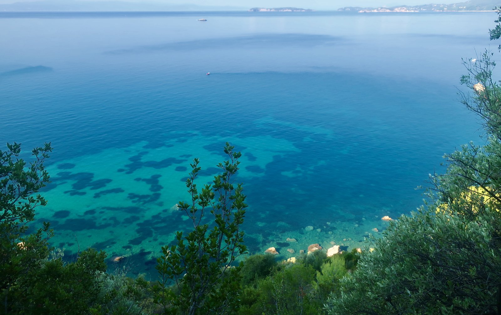
Having found our accommodation at the end of a steep, slippery path just above the port, having been presented with a welcome jar of home-made jam, a sweetener so to speak for the hot water not working – we’re pretty much pushovers anyway – having passed a night of counting gaps between crashes of thunder and illumination, the following morning we took the damp, steaming, uphill path from Loutraki to Palio Klima. The sun was shining Greek-island strongly. Below us, water that the previous afternoon had been as opaque as the North Sea, was as it was supposed to be: patches of blue and green, underwater rocks and weeds, a holiday brochure photograph stretching along the coast to Loutraki and all the way back to Skiathos.
***
Loutraki used to be the port for Glossa, five hundred metres up the hill, Skopelos’ second settlement by population. In the much deeper past there was a Greek city called Selinous here, where city, the word, is accepted usage for what was in most places in the islands – most places all over pre-classical and classical Greece – a fortified small town or village. Sparse fragments of massive ancient wall remain. They provoke always the same amazement at the degree of effort involved, the same reflexions on the imperatives that compelled their construction.
Because it’s on the coast – because what other options are there anyway? – Loutraki is in the process of making a hesitant transition to low-key holiday destination. The bare bones are in place: some accommodation, a few tavernas/cafés/bars. To the south of the port, there’s a sign for Roman baths – although little evidence. In line with this new destiny, an unlikely beach has been created, an awkward sandy strip tacked to the outside of the concrete breakwater, where it’s hard to imagine the frivolity of bat and ball and all the rest.
Skopelos is less touristy than Skiathos – Skiathos has an airport AND is one ferry stop closer to the coast – but more touristy than Alonissos, just a little more difficult to get to, being the third stop on the ferry from Volos or Mantoudi. No ferries from Athens come to the Sporades. They’re off the main network.
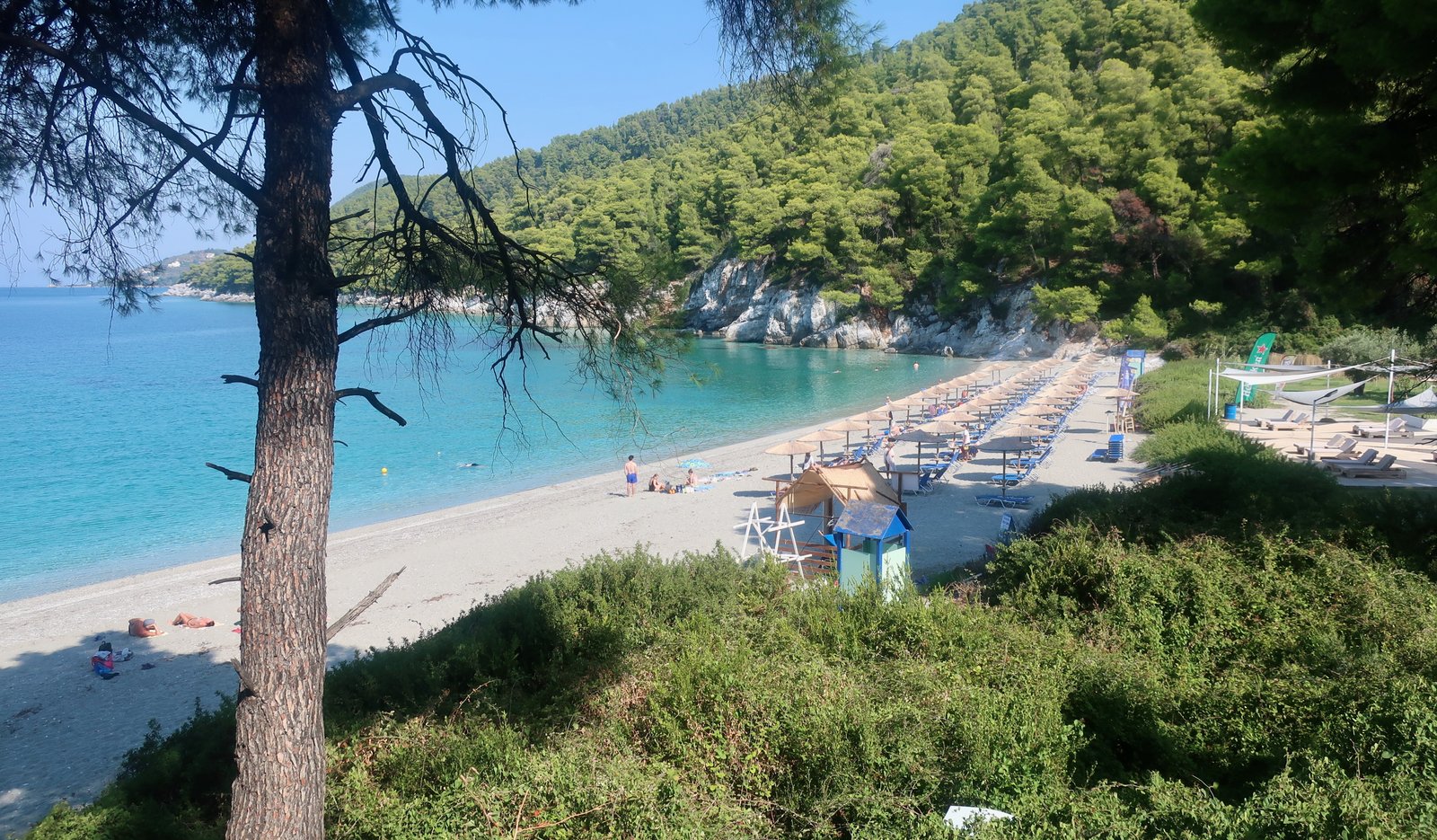
With an eye on what was happening on Skiathos, where an airport was built in the 1970s, in the mid-1980s the municipal council of Skopelos applied for permission to build their own. The relevant ministry turned them down. Thus today, even though much of the film Mamma Mia was shot on the island in 2007, and despite the boost this gave and is still giving tourism, fundamentally not a great deal has changed. The island is not overrun, although here, as elsewhere, tourism is the main source of income. In season, Mamma Mia tourists make the short chugging cruise from Skopelos town up the east coast to the film-scene-famous chapel of Agios Ioannis, perched photogenically on a small promontory at the top of a long and winding flight of carved stone steps. On the way there and back Abba songs are blasted. On the opposite coast, the beach of Kastani is the Mamma Mia beach, with a quite fancy café that also plays loud music. It too is cinematographically lovely but wasn’t at all crowded in mid-September, most of the three rows of organised umbrellas and loungers that take up half the beach sitting empty.
Glossa is the nearest village to the Agios Ioannis church and is scruffy like Greek hill villages, not shiny like films. On rough concrete terraces plants are more likely to be sprouting from cut-off olive oil cans than terracotta pots. In mid-September it was already closing for the winter. There was a faded Mamma Mia poster on a notice board. (Later, in a Skopelos town backstreet I almost stumbled into Meryl Streep, a life-size cardboard cut-out.)
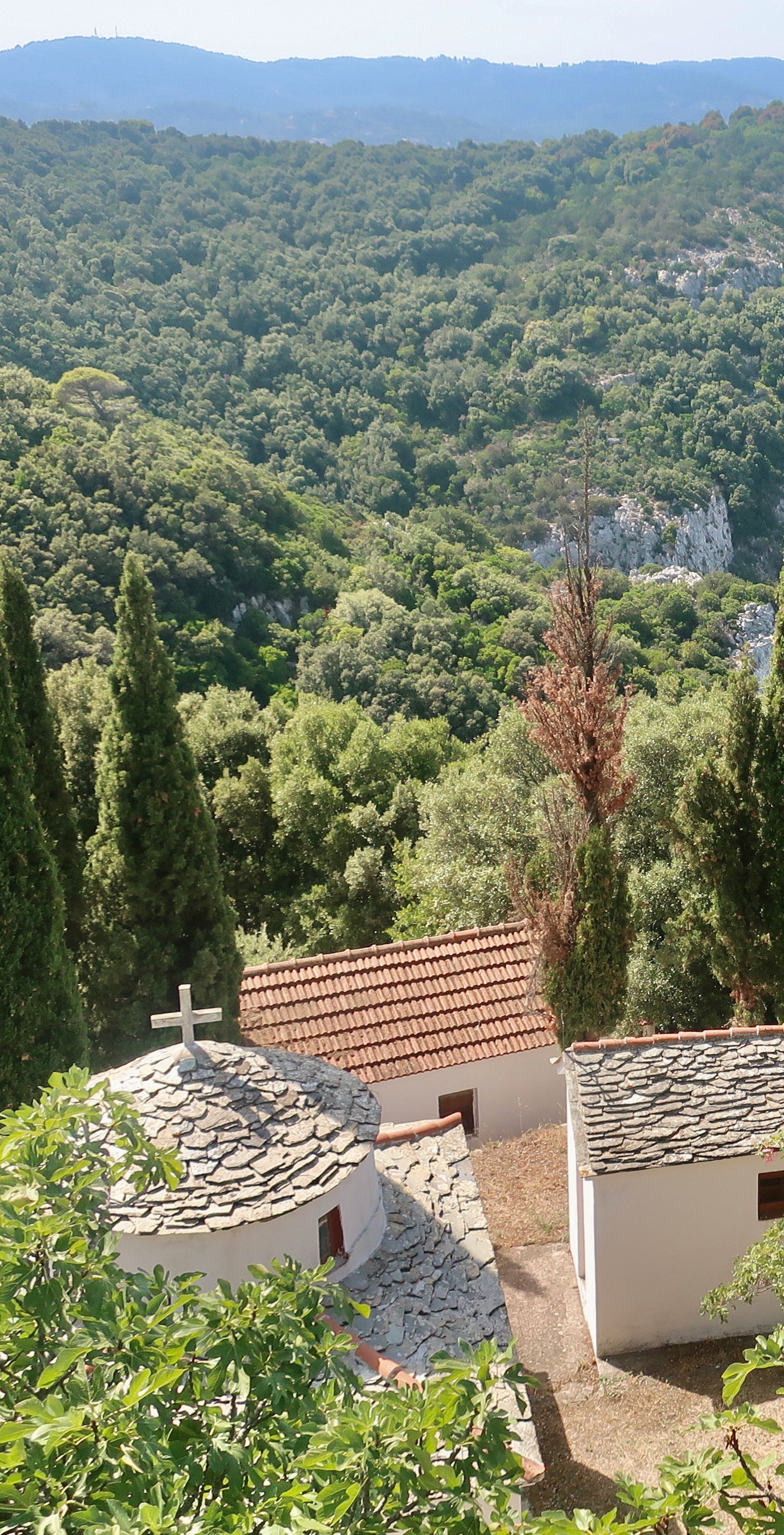
For the rest, Skopelos has a cluster of wonderful monasteries in the southeast, some very good beaches and, as the film posters and advertising bumph would have us believe, it is quite lavishly green and blue – densely forested like its northern Sporades neighbours Alonissos and Skiathos, pine forests coming down to the water.
About six thousand people live on the island, half of them in the main town/port, the other half in Glossa, Neo Klima, and then scattered mostly around the southern half. Skopelos town is yet another place not quite as we imagined it would be. The internet version is typically colour-enhanced, but in addition tends to present the town-end of the bay in such a way that we presume it to be the whole thing. In fact the town occupies one side of a wide bay, a kilometre across. The other side has a surprisingly unattractive town beach, a narrow dirt untended strip. After which, a cluster of new-build small hotels and fading-to-reddish-rock steep hillsides.
The town is picturesque, the same recipe as elsewhere – narrow streets, little squares, balconies, courtyards or small gardens with lemon, orange, pomegranate trees, flowers and a lot of churches. It is unspoilt enough to have been designated a heritage site by the Greek government. There is more initial flourish, more wealth in the construction here than in the Cyclades, with their piling up of mostly small white cubes. Looking down from above, from google maps, Skopelos town, with its pitched red rooftiles, is the colour of brick. Naxos is flat-roofed white. In-between, moving south, there is a fading, a draining of colour.
The bay is exposed to the north wind, a problem for getting boats in and out. To fix this, a great elbowed arm of breakwater has been built, almost four hundred and fifty metres long. It stretches out into the bay away from the seafront. Yachts and fishing boats tie up along its length.
The best Greek island ports have a feeling of intimacy, as if folded in upon themselves. Small vessels, yachts or fishing boats, incidentally decorate the seafronts. Skopelos however gapes open. It has been thrown out wide by the breakwater, much of the animation of boats removed.
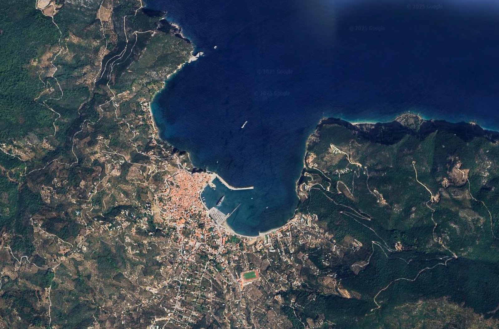
Ironically it doesn’t even work properly. When the wind is strong from the north the ferries still can’t get in. They have to be diverted to Agnontas on the opposite side of the island. Travellers are then bussed across to Skopelos town. Skopelos is one of the few small islands in Greece to have three working large-ferry ports.
***
Although at time of writing we’ve never actually done a full-on beach holiday, we have a list of places we might go to if we do.
(A beach holiday is one during which we don’t spend most of our time hiking, but instead do little but read and swim. And drink coffee. And eat, of course. And drink wine. All things we do when we’re hiking, but on a beach holiday, we think, we shall do them more concentratedly.)
Beach holiday places worthy of being put on the list can turn up anywhere, on any island. They exist in abstraction, independently of the islands on which we find them.
First of all, there has to be a good place to swim, without risk of constant wind. Then there has to be a handful of tavernas/cafes/bars, but not too many. Some other people are welcome, but not hordes. And of course there should be Greek island charm. This last is indefinable but usually clear when stumbled across. Old ports are nice, but not exclusively so. There is, for example, just across the way from Skopelos in Alonissos, Agios Petros. It’s on the list although it isn’t a port and, strictly-speaking has no tavernas or cafes at all, although the tavernas and cafes of Steni Vala, a five or six hundred metre stroll along the coast, are as good as. Perhaps even better.
Panormos on Skopelos is on our list of good beach-holiday places. The beach is unequivocally beautiful, a little too organised in summer, but not all organised – the chairs and umbrellas are in clumps and both psychologically and practically sidesteppable.
The bay is wide, a little over four hundred metres, and contains a number of further small beaches on the northern side, not organised unless you swim as far as the fancy hotel near the tip. There’s a secondary deep sack of a bay on the southern side, a safe overnight anchorage for yachts. Access is by swimming, by walking along a dirt road or, best of all, you can hop around the shoreline rocks. There are no beaches in this bay except for one tiny indentation, almost entirely hidden by pine trees. If you find it it will be yours alone since there is really, truly only room for two people. You can go there and be away from the world, leaning against a stone or a tree reading a book, drinking your flask of coffee and slipping from time to time into the warm bay-water, where there will perhaps be a few boats and rarely any other swimmers. It’s exceptional. If you have children, they’ll probably not want you to come with them because this will quite rightly be their secret place. If you are children – big or small – you’ll hide there and have adventures.
Finally, memorable in our limited experience of such things, is the last taverna on the northern side of the main beach at Panormos. We almost never mention restaurants. That sort of information can be found elsewhere and anyway, what do we know about food? We’re making an exception here because the tables of this taverna are actually on the beach-sand – not unique but always good – but mostly because the people who ran this particular taverna when we were there in 2022, having lunch on the beach after having walked across to Panormos from Skopelos town – unusually (but not unheard-of unusually), no picnic on this day – they were so nice that they’ve stuck in our memory. Really nice people are so much more interesting than really nice food.
So, Panormos. On our list of places for a beach holiday, if ever we get around to it. But not an ideal base for hiking.
Incidentally, and importantly, what we don’t precisely need for a good beach holiday is a beach. Rocks will do just as well. Beach is not literal.
HIKING
You’re in Skopelos and thinking about doing some walking. Probably you’ve been to a number of other islands and would like to see the Sporades. Or you’re planning on a mixed beach and hiking holiday. Or you’re touring around the islands and want to do a day’s walking to see a different side of things. Or perhaps you’re just trying to get the children/your partner off the beach: come on, it’ll be great! Or you’ve seen the luminous photos of green Aleppo pines that come right down to the water, which really is transparent and aquamarine, and want to find a spot away from everyone else.
Whatever the reason, walking is a good idea. There’ll be something. When hiking there are always multiple somethings, you never know what they’ll be. In Skopelos it may be the old monasteries in the south, it may be the dirt track walk back towards Glossa/Loutraki after Trail 9, it may be the sections of old kalderimi and it may be something else entirely.
Most of the hiking is in the south of the island. All hiking in the north can be done from a base around either Glossa or Loutraki, all hiking in the south from Skopelos town. Much of the northern hiking in particular is on vehicle-wide tracks. When we were walking on these non-asphalt tracks in September, not a single vehicle ever passed. There are all sorts of ways to combine the fifteen paths marked on the most recent Terrain Map. For those wanting circular routes, a number of the marked paths oblige either a doubling back or alternative creativity – bus, taxi, rental car or motorbike. When we were there, buses around the south, looping out from Skopelos town and back around the coast – Panormos/Agnontas/Stafylos – were reasonably regular, those between the north and south (Glossa/Loutraki and Skopelos town) few and far between.
The following hikes are by way of illustration. There are other possibilities. If you do all of these, you will by the end have a feel for the whole island of Skopelos, the shapes, the contours, the views.
(The trail numbers on the hikes refer to the Terrain Map.)
The North
HIKE 1
From Loutraki to Glossa – up and around to Gourouni Lighthouse on the northern tip of the island – back to Loutraki.
20 kms
There’s an old stone path between Glossa and Loutraki. The new road, with a gentle incline for cars, zigzags back and forth, a climb of between 200 and 300 metres, depending on where you want to go in the village. It’s about 3 kms long. The old kalderimi goes more or less straight and steep for 1 km, again and again sliced through by the rambling tarmac. Old cobbled paths cut by new roads are a feature of the islands, the contrast between them defining not just the different modes of transport, but also the movement away from intimacy with the land.
From Glossa we crossed the island to Perivolou Bay on the northeast coast.
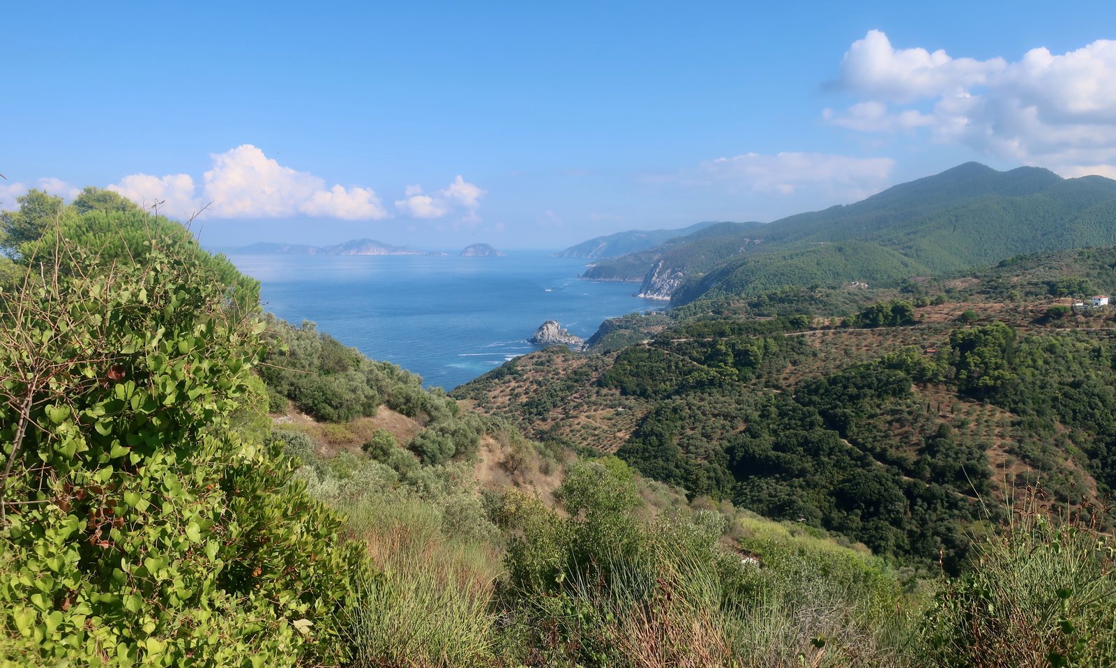
There’s no one way to go, but a mesh of wide rough tracks and narrow paved roads. None of them are direct in the same way the kalderimi from Loutraki to Glossa is direct. Once at Perivolou Bay there’s a dirt track (Trail 12) that leads around the top of the island to Gourouni Lighthouse. According to Terrain Maps, from the lighthouse there’s a footpath that makes it possible to do a loop, rather than going back to Perivolou Bay. Instead of looking for it, we wrongly tried to find a coastal path, marked on older maps, straight on from the lighthouse, through the woods and down to the coast. There it died, as the Terrain map suggests it does. I’m doubtful it still exists. In theory it would make it possible to join up with the most coastal of several north-pointing tortuous tracks or roads that spike out from Glossa (Trail 14 and on).
From Loutraki up over the northern hills is a climb of about three hundred metres, then a descent of the same on the other side. If you come back to the starting-point in Loutraki, by whichever paths you take, you will have done a total ascent of at least six hundred metres.
Without the up-to-date Terrain map, which has Trail 13 on it, we returned to Perivolou Bay, then wandered a different route back to Glossa from the one we came on. Even without diversions and meanderings, it’s difficult to hike from Loutraki to Gourouni and back and do less than twenty kilometres.
HIKE 2
Loutraki – Palio Klima – Delphi, (the highest point on the island – 680m) – Kalogeros on the mid-eastern coast – and back home.
25 – 30 kilometres
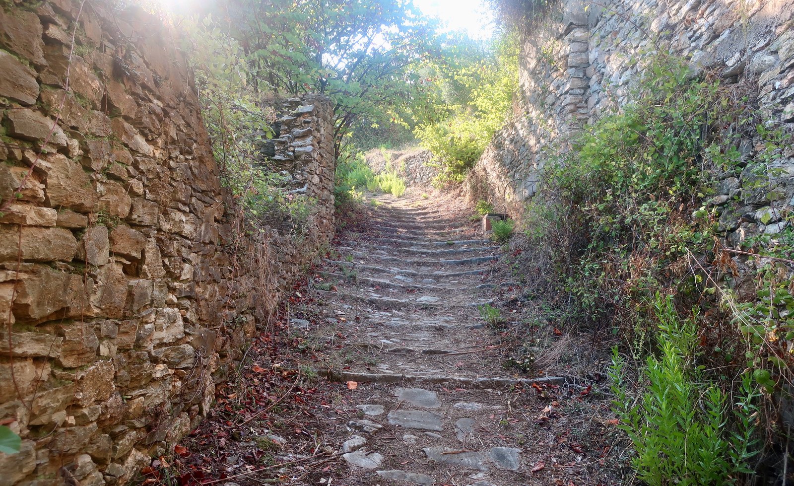
From Loutraki to Palio Klima, (Trail 9 on Terrain Maps), there’s a short, very beautiful stone-laid path through densely-wooded hillsides. I imagine the builders were quite pleased with themselves when they completed this linking path and stood back and looked at it. (See the photo above, a segment.)
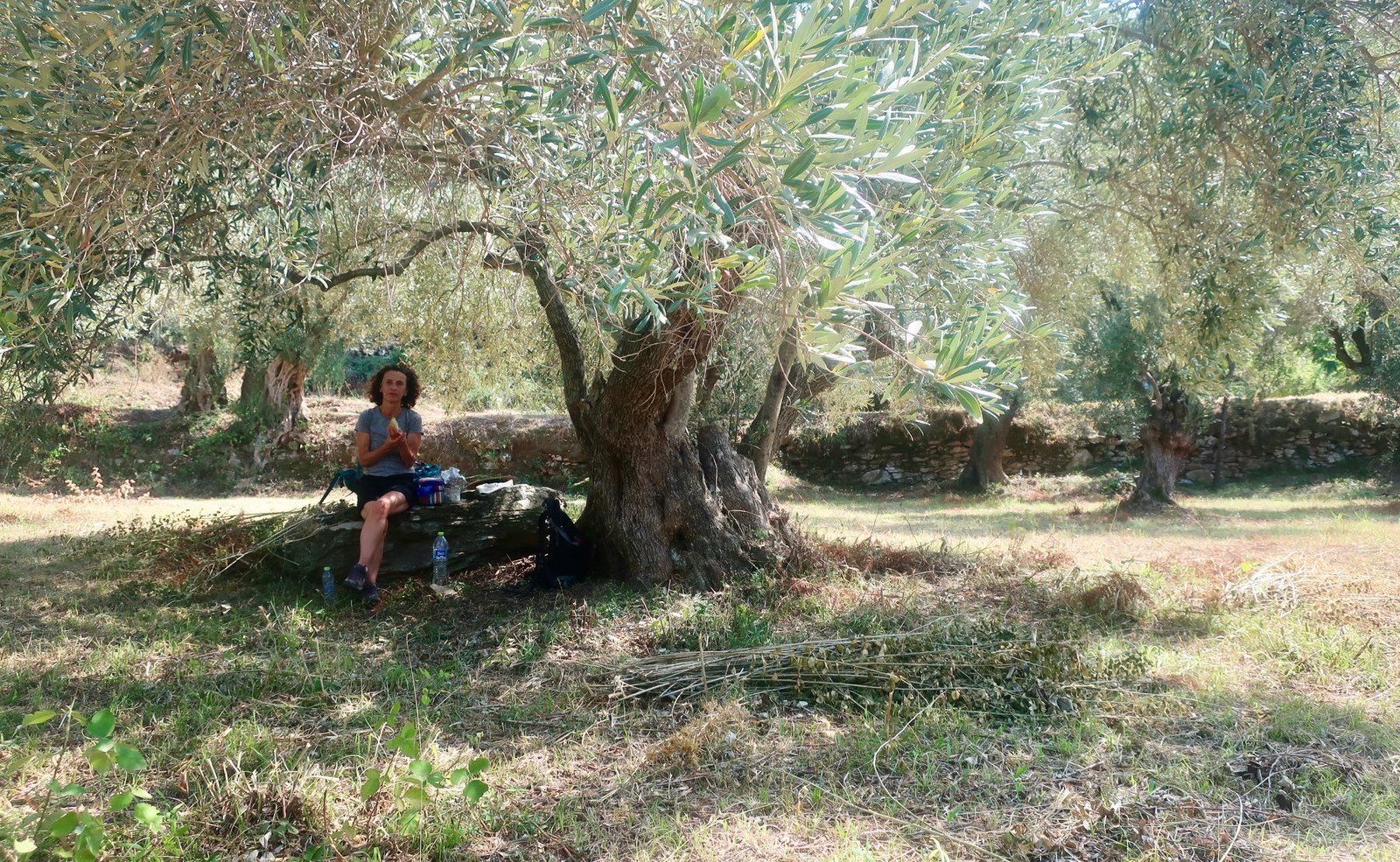
As well as the pines and oaks, there are olives and figs and vines and various fruit trees. The land used to be cultivated by the inhabitants of Palio Klima, which was hit by a serious earthquake in 1965, after which the village was mostly abandoned in favour of Neo Klima, a little further along the coast. Some old houses have now been renovated and a few people have returned.
Continue on Trail 9 mostly on dirt track all the way to Delphi peak. The dotted section, the final kilometre-and-a-half through woods to the summit, didn’t exist when we were there. Using a satellite phone signal, the map, and basic logic – don’t go too far right where the land drops very steeply – we made a path through the forest to the top, in places having to double back when blocked by an impassably dense section. A nice, slow, hour or so of orienteering.
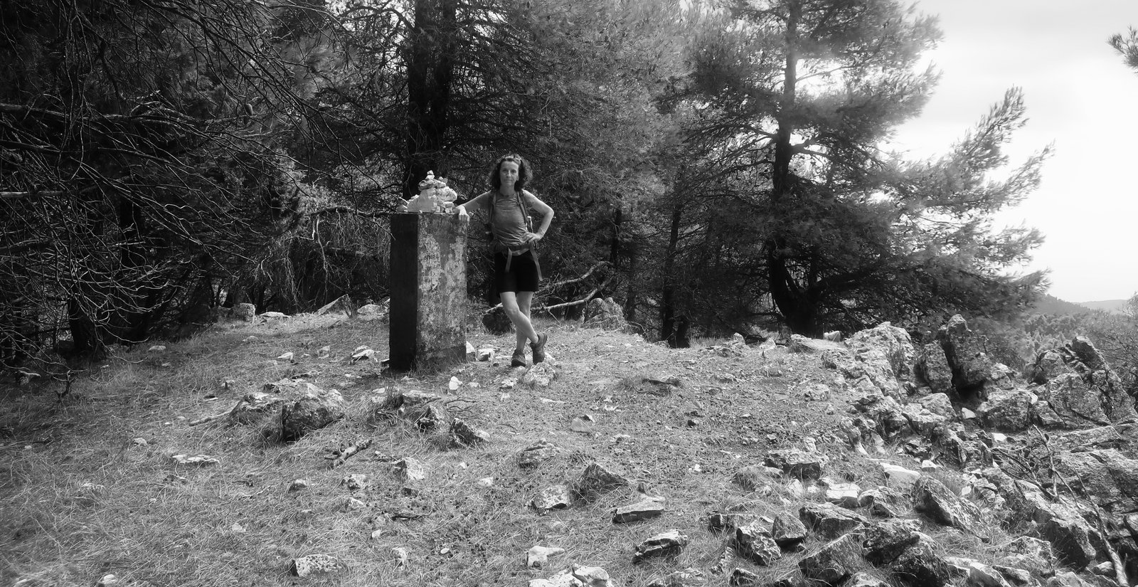
Alternatively, the wooded section of Trail 9 can be ditched completely in favour of Trail 9a. In which case the trail comes to the summit from the other side. Either is fine, but the forest is more satisfying.
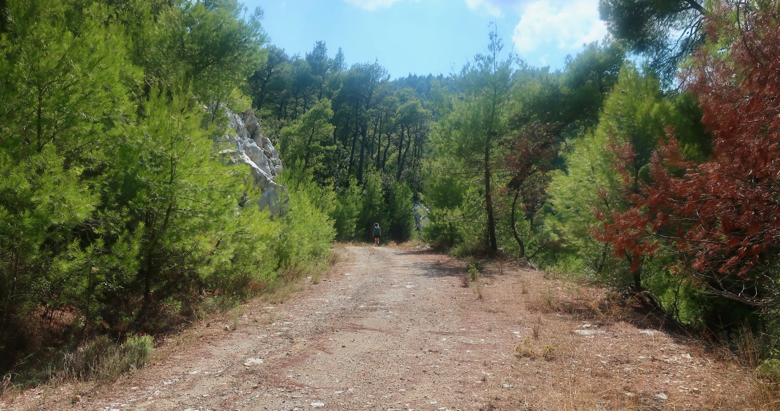
From the peak, it would be possible to take Trail 9a and then double back on Trail 9 to Palio Klima and Loutraki, making a hike of 16 or 17 kms. We carried on towards Kalogeros, first on Trail 6, then diverting off to the north and, after Kalogeros, taking the Terrain Map green-marked scenic route that runs along the eastern half of the island most of the way back to Palio Klima. In theory this is driveable – by 4WDs perhaps – but we saw no vehicles. We saw no people at all. If it’s a hot day, the afternoon sun will be mostly behind the high ridge of the island, so it’s a walk in shade. It isn’t a classic Greek island stone path. There are virtually no ups and downs. And we talk about how nice it was.
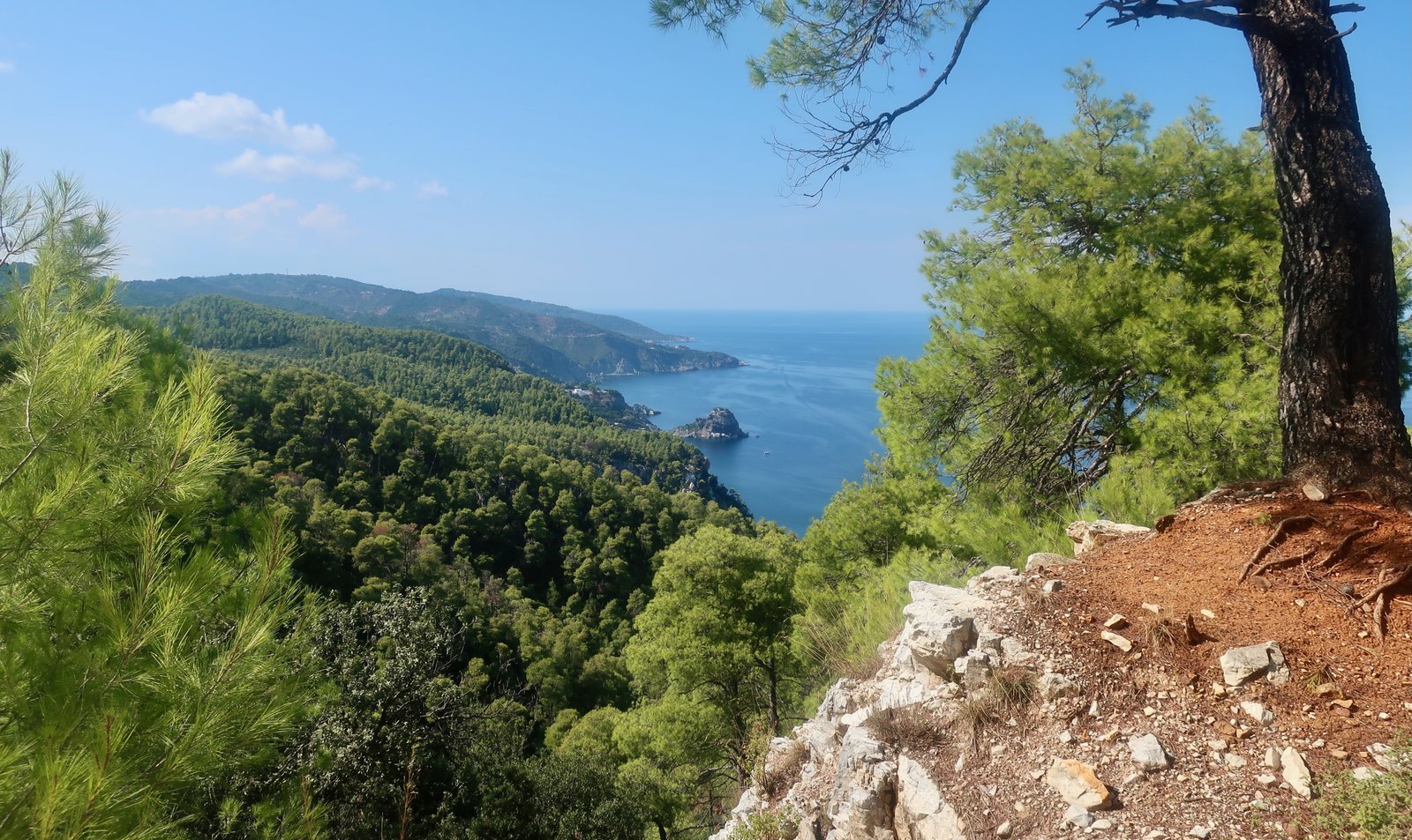
It’s difficult to separate the subjectivity of the moment from the objectivity of the path. But in the islands where so much is rugged, sometimes it’s a pleasure to walk without the complication of climbing or descending, not having to pay attention to footsteps or dodge between stones. In this case there’s a view over the Aegean out towards Alonissos, and up ahead the coastline of Skopelos with the church of Agios Ioannis on its rock appearing and disappearing as the trail zigs and zags, from here not the film prop, but rather another striking place on which to build a church on a tiny coastal island in Greece.
At the end of the day there are several alternative routes home to Glossa or to Loutraki. The longest would include a diversion down to Agios Ioannis, adding distance and descent/ascent.
The South
HIKE 1
From Skopelos town up to Palouki (567m), the second highest peak on Skopelos, and back down again. The monastery tour.
Perhaps 25 kms
A combination of Trails 2, 3 and 4 on the Terrain Map. Some old kalderimi and a little road-walking. Whichever way you choose – there are options – most of it’s on footpaths. There’s also, unusually, some newly-laid stone path. The work involved in the creation of paths is just about as labour intensive as it ever was, often still dependant on donkeys to carry stones and other material in and out.
Much of the way is through woods. The high point, Palouki, is wind-blasted, with sparse vegetation. The dotted route on the Terrain Map, leading from Palouki on Trail 4 across the dirt road to the Taxiarches monastery, didn’t exist when we were there. The terrain on the other side of the track is steep and clogged with head-high vegetation. It is surprisingly easy to get very lost very quickly.
We gave up trying to find this path and, not without difficulty, found our way back up to the dirt track and headed down towards Aghia Triada. Just before getting there, there’s an obvious right-hand turn on new, or newly-repaired, stone path. This short path bisects Trail 4. Right to the monastery of Taxiarches, left to the church of Aghia Anna.
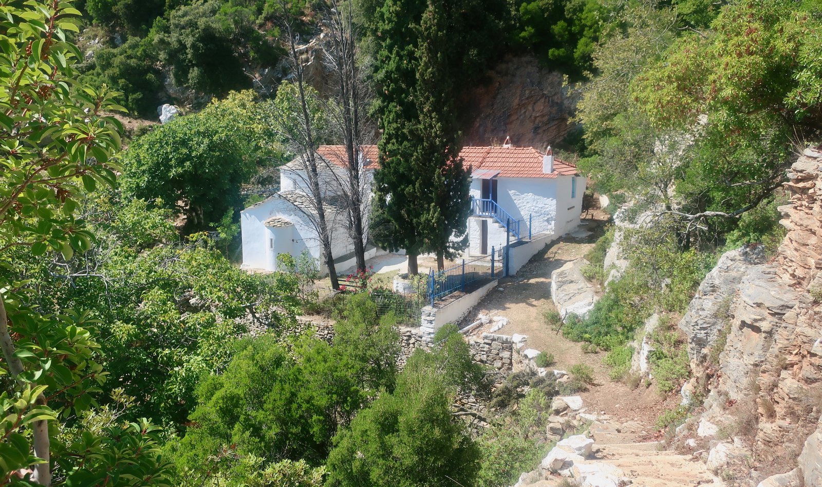
Taxiarches is another of the many memorable remote oasis-monasteries in the islands. A little vision of heaven perhaps, on a warm late summer day with the sun shining and a small stream trickling and ripe figs on the trees. On a gale force winter day it must be quite different, although not without another sort of power.
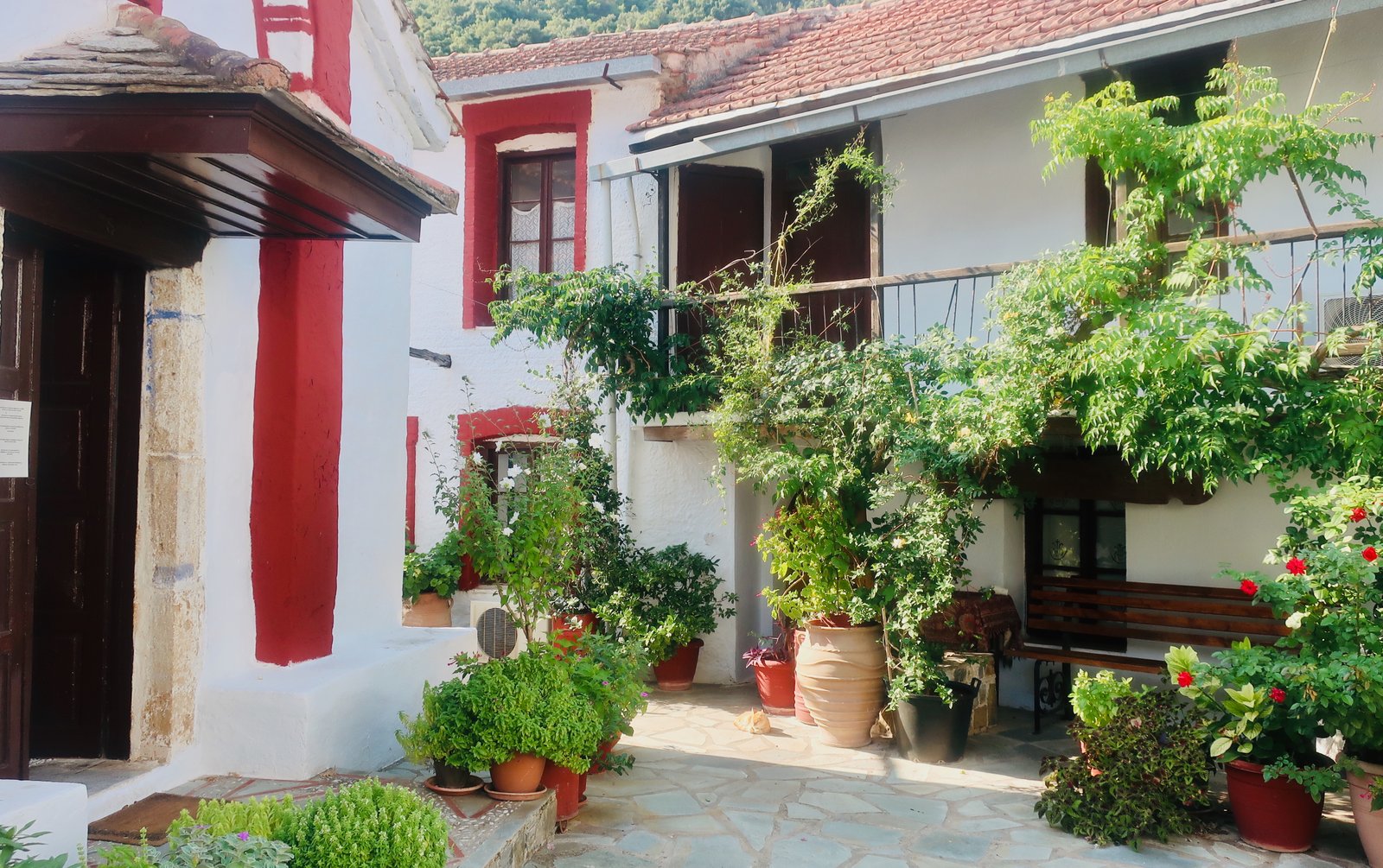
All monasteries are worth visiting. Usually folded in on themselves, the feeling of extraction from, of disinterest in the wider world is common. The model is generally the same, the results infinitely various, hilltops and cliffs and promontories and secret valleys. However difficult the surrounding land, it is almost always cut and shaped and forged into a garden of sorts. Often monasteries are built into the nook of a valley, the fold of a hill. The damp place. Here, Taxiarches is tucked into a crease. We round another corner on the path and suddenly there are giant fig trees and olives among the pines and spikes, and we know we’ve arrived. There’s a view southeast across the sea in the direction of Skyros, which must be invisible except on the clearest of days.
Taxiarches is a simple version. As in most monastery complexes the focus is the central church. Around it levels of rooms, balustrades, stone steps, trees, herbs, walls. It’s a gorgeous place.
On this one hike, anything up to seven monasteries can be visited. Some, like Taxiarches, are abandoned now, probably only ever officially invested on saints’-days. In others one or two or three monks are hanging on. Usually we’re welcomed in and allowed to wander. Sometimes there’s a reluctance. In one monastery towards the end of the day, we entered the central church to find a white-bearded monk producing objects of power for two elderly women visitors to kiss. He swept us out of the church with them, unimpressed by our touristic agnosticism.
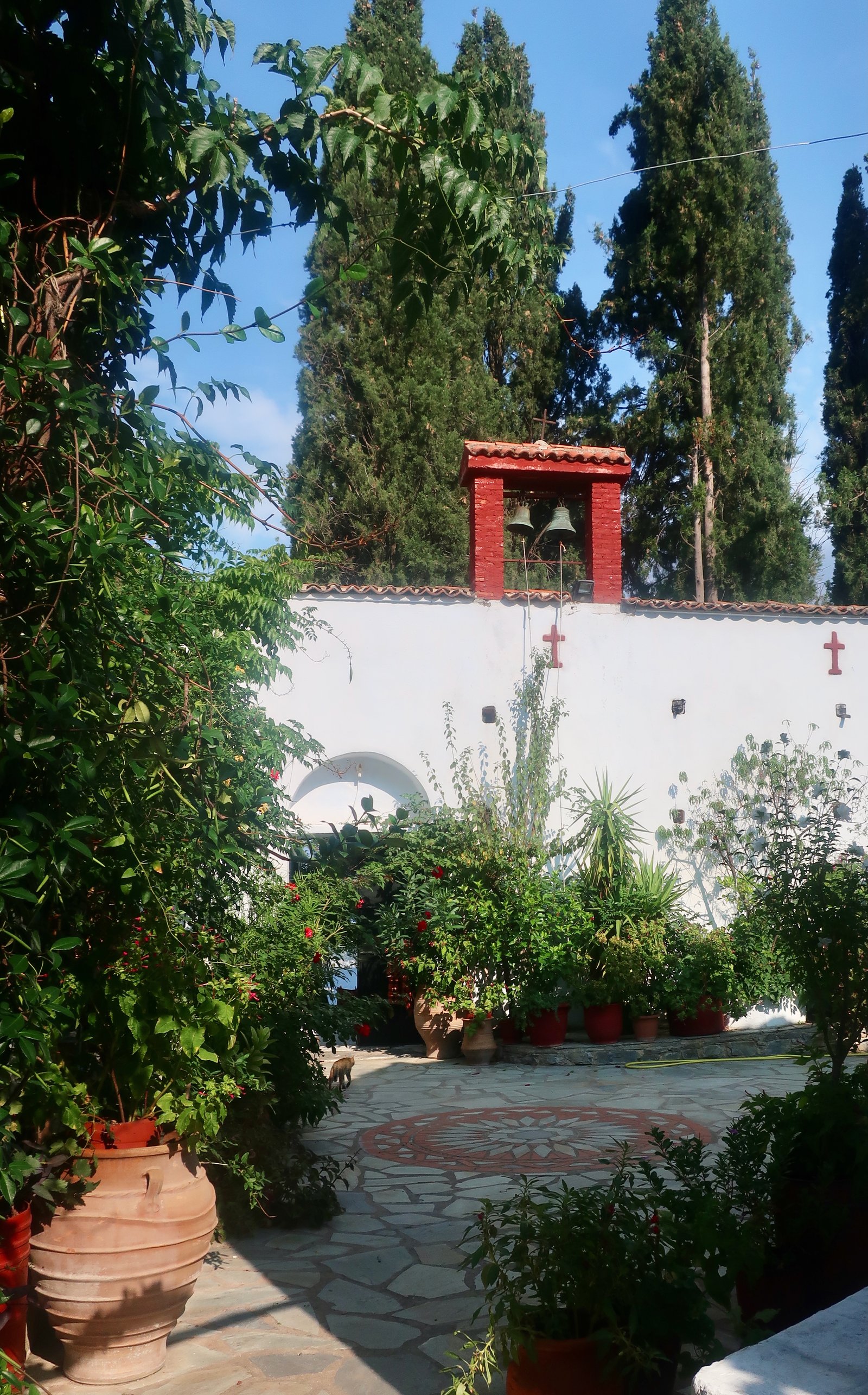
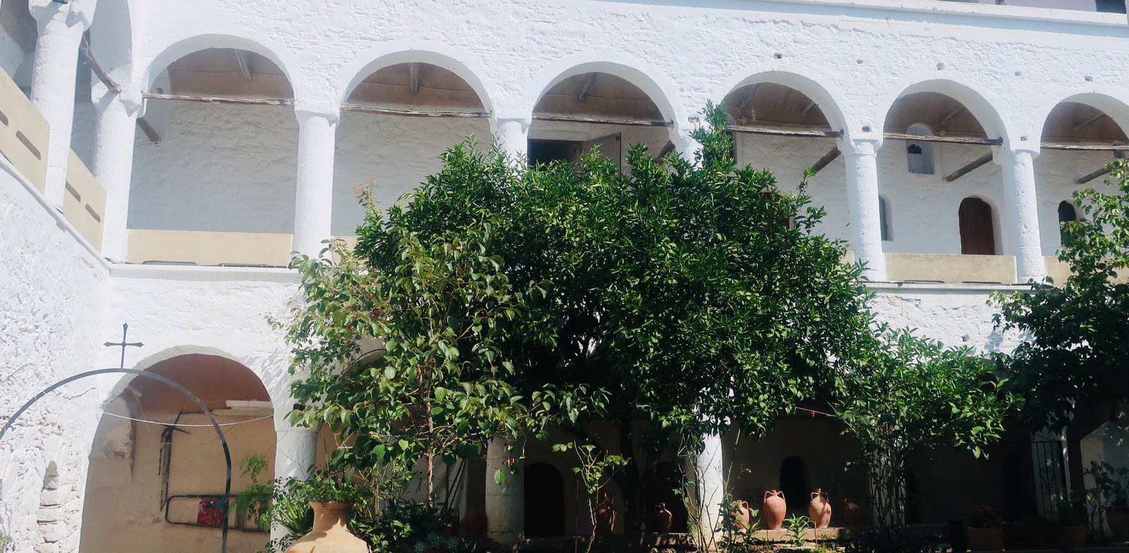
After Taxiarches, Trail 4 continues on past Aghia Anna, then windingly back to town, with options to jump to Trail 3. Ferries making the dash back and forth to Alonissos move in and out of view. Distant yachts in all directions are as slow as the second hands of a clock. Towards the end of the day Skopelos town is laid out in the bay, the intricate model of itself.
HIKE 2
A short hike across the island from east to west, Skopelos town to Panormos, Trail 8 and Trail 7
10 kms
There are various alternative routes, twists of road more or less direct, dotted cut-throughs on the map. The way is not always clear. On the final section we asked directions four times: a young Greek couple in a holiday home who sent us to the neighbours; an Englishman in his tended garden with secateurs; a shirtless German living in what looked like a concrete cube, who pointed us the way with bonhomie; a gang of builders, who babbled far too quickly.
A swim, lunch in a taverna on the beach, another swim, the bus home via Agnontas and Stafylos, a loop around the coast.
THE REST
We should have done path number 6, but ran out of time.
The path to Stafylos, Trail 1, is almost exclusively a road walk. Stafylos has a narrow, scruffy cliff-backed beach on one side of the bay, a naturist beach on the other side, much nicer. In between, on the promontory, there is, according to the map, a classical site. If it exists, it’s inaccessible, both practically and visually.