
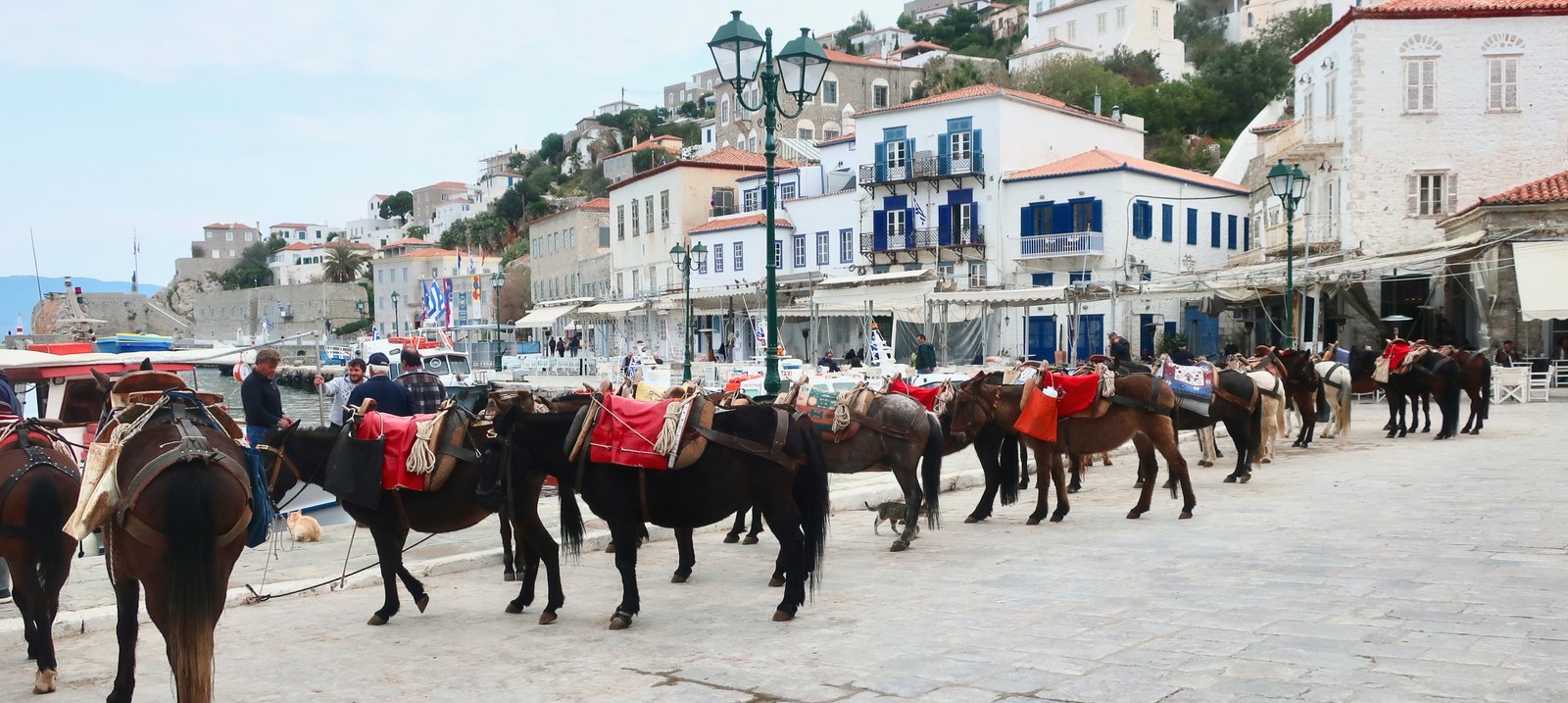
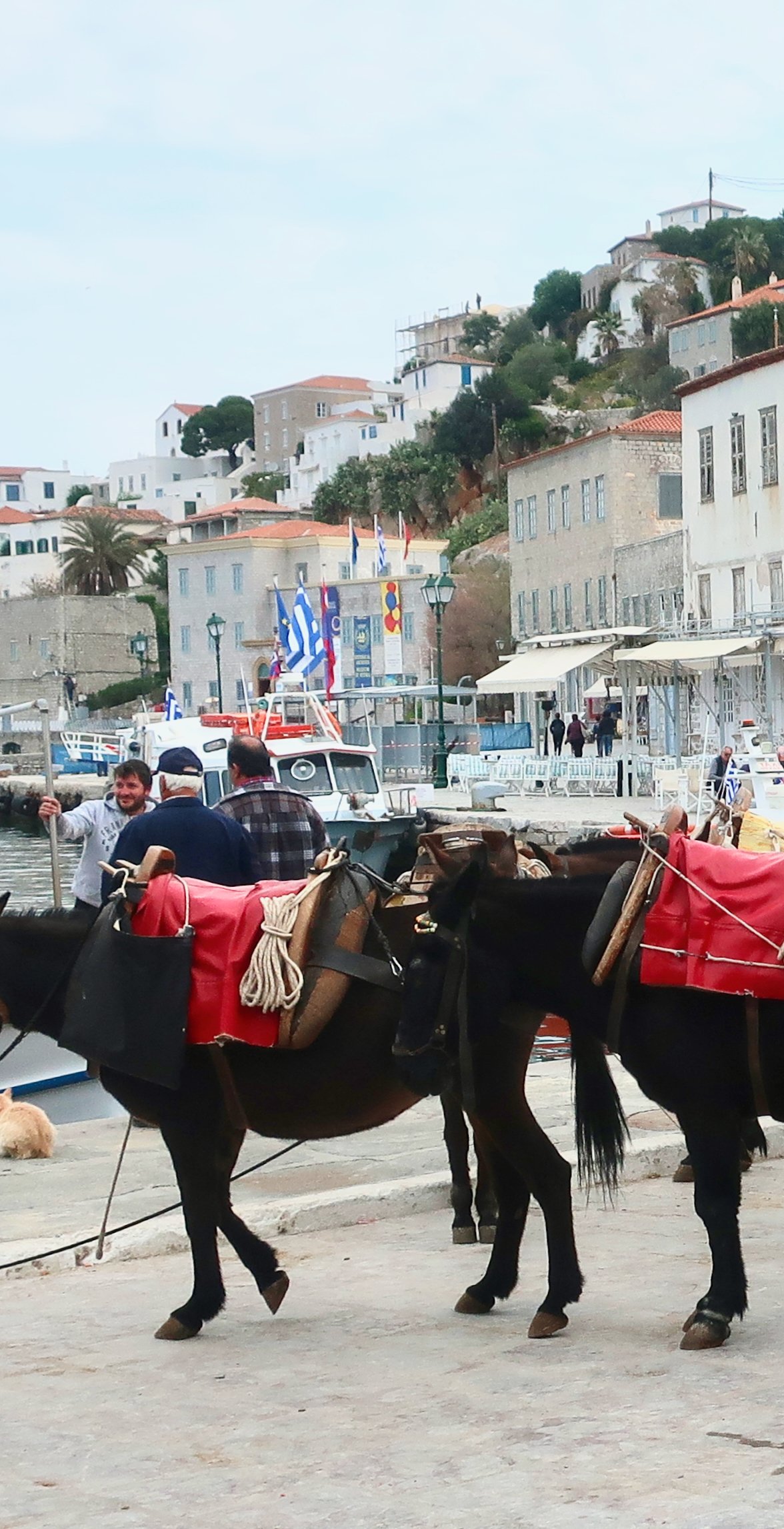
Although there are other inhabited islands on which there are very few cars, Hydra is the only one to have banned them outright and the only one to have replaced them with donkeys.
Or maybe it’s rather that the donkeys – their minders – have evolved their donkey business to suit Hydra’s altered state, according to which tourism, not agriculture and shipping, is central. Such that, when the ferry comes in, instead of the usual assortment of vehicles waiting on the quay, there they are, standing donkey-patient, (resigned?), a tad malodorous.
Rush hour on Hydra is any time of day just after the ferry has arrived. Donkeys quickly become dispersed through the streets. They carry not only the luggage of the new arrivals but also whatever else has come in: fruit and vegetables, boxes of tiles, cement, even kitchen cupboards, their sharp angles prominent and dangerous, careening through the backstreets.
In this rather elegant little enclave of modern Europe donkeys are doing what they’ve always done. It is only the specifics of the burdens that have changed.
Before coming, we hadn’t given much thought to what it means, the absence of motorised vehicles:
– That there are no roads, or almost no roads. Obviously.
– That for anyone who doesn’t live in the port – the few farmers, the religious communities – the only way in or out is either on foot or by donkey. Just as it always was. On other islands that like Hydra are reputed chic, or expensive, or fashionable, development has been relatively more all-encompassing. Hydra, apart from the town and its suburbs, which for most visitors – most locals too – is the entirety of the island, feels virtually untouched by tourism.
***
The port, where almost everyone lives, is Greek-island stylish, built around a perfect harbour. It has a curving seafront and up behind it grand paved avenues and narrow winding streets lined with substantial old stone houses, a legacy from Hydra’s days of wealth and glory. There was a time it was the most important seafaring island in Greece. Trading ships from Hydra went all over the Aegean and further still, as far as the Black Sea. The Hydriot navy figured in the War of Independence against the Ottoman Empire. One of the three official hikes on Hydra is called The Heroic Harbour, a reference to the gallant role they played. Historical truth is probably more nuanced. The Hydriots of the early eighteenth century had wealth and a privileged position under Ottoman rule, and were unwilling at first to risk throwing in their lot with the rebels. But then the whole story of the Greek War of Independence is probably less Byronesque than official versions would have us believe.
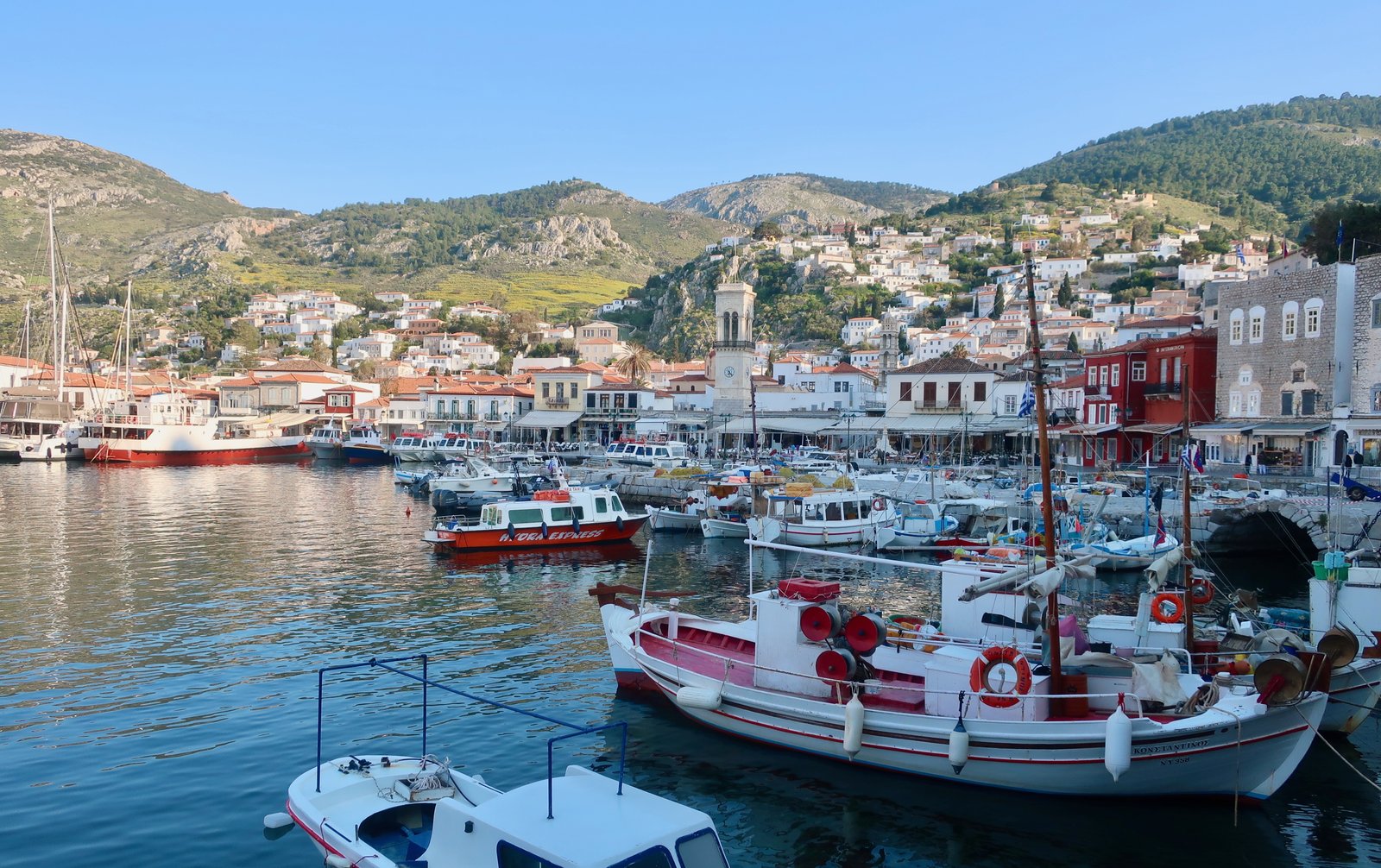
Hydra’s proximity to the mainland means that these days ferries, mostly fast ferries – closed-in capsules that rise up over the water on skis – arrive every couple of hours or so. A little less often out of season. Although, being so close to the mainland, to Athens but also to the Peloponnese, the contrast between on-season and off-season is a little less clear than elsewhere. People come for short trips, they come for the weekend, they come for the day. In April when we were there it was still fairly quiet, but nothing like the quiet of April on Paros or Anafi or Karpathos. There’s probably no time at all when there are no visitors.
Nowadays Hydra’s well-known bohemian past brings visitors in search of Leonard Cohenesque fantasy. It has this in common with Mykonos, (but happily not much more), that by the time word spread of its bohemianism, the bohemianism in question had been transformed into historical curiosity.
We hadn’t expected Hydra to suit us. Too expensive, too showy. Even if beautiful. And not really a place to go hiking.
Which just goes to show, again, how wrong we can be:
Lesson 1 from Hydra – there’s no single model of development.
Lesson 2 – the enjoyment of any hiking route is dependent on the almost limitless combination of its particular attributes – the glamour of altitude, some idea of drama, the aesthetics of old pavements, adventure, circularity, historical quality… But also weather, length, remoteness, our expectations, access to the sea, mood (our mood), whimsy, mystery, and so on and on.
Lesson 3 – for us, for anyone, an island is not the amalgam of bite-sized holiday highlights from tourist guides. (You can find your own Hydra.)
Lesson 4 – there’s pleasure in the obvious, well-known, loveliness of an island like Hydra. Sometimes we do need to be reminded.
***
On Hydra we had only three full days, two of which we spent hiking.
On the third day we wandered around town, admiring it all, the style and the history. We went to the prominent rock on the left of town (looking out), from which people jump off into the deep sea-pool below, and we jumped too. We strolled along the springflower-heavy seafront pathways north and south of town. We too indulged in a little touch of Hydra-fantasy: the Australian writer Charmian Clift wrote Peel Me A Lotus while living here. It’s one of the very best books written about the Greek islands. It begins:
Today we bought the house by the well.
Using clues from the book, we wandered around looking for it.
That was really it, our Hydra.
HIKING
Hydra is long and thin, twenty kilometres tip to tip by an average two and a half wide. The highest point is Mt Eros, 590 metres. Hiking is unusually neat. You start in town in the middle of the island and choose a direction, left or right, then walk to the end of the island and back. On another day you walk to the other end and back. Both days are over thirty kilometres. Part of the challenge is the distance. Part of the pleasure is the overload of sensory experience inherent in such long days.
If you don’t want to do thirty-kilometre hikes, a small boat can drop or pick you up at the Zourva lighthouse or the Panagia Zourva monastery on the eastern end, or at Bisti beach in the west, and you can do one way only.
We used the Hydra Trails website – hydratrails.gr – on which there are four trails. But 1 and 1a can be done together, and 4 can mostly be done on the way back from 3. There doesn’t appear to be a 2.
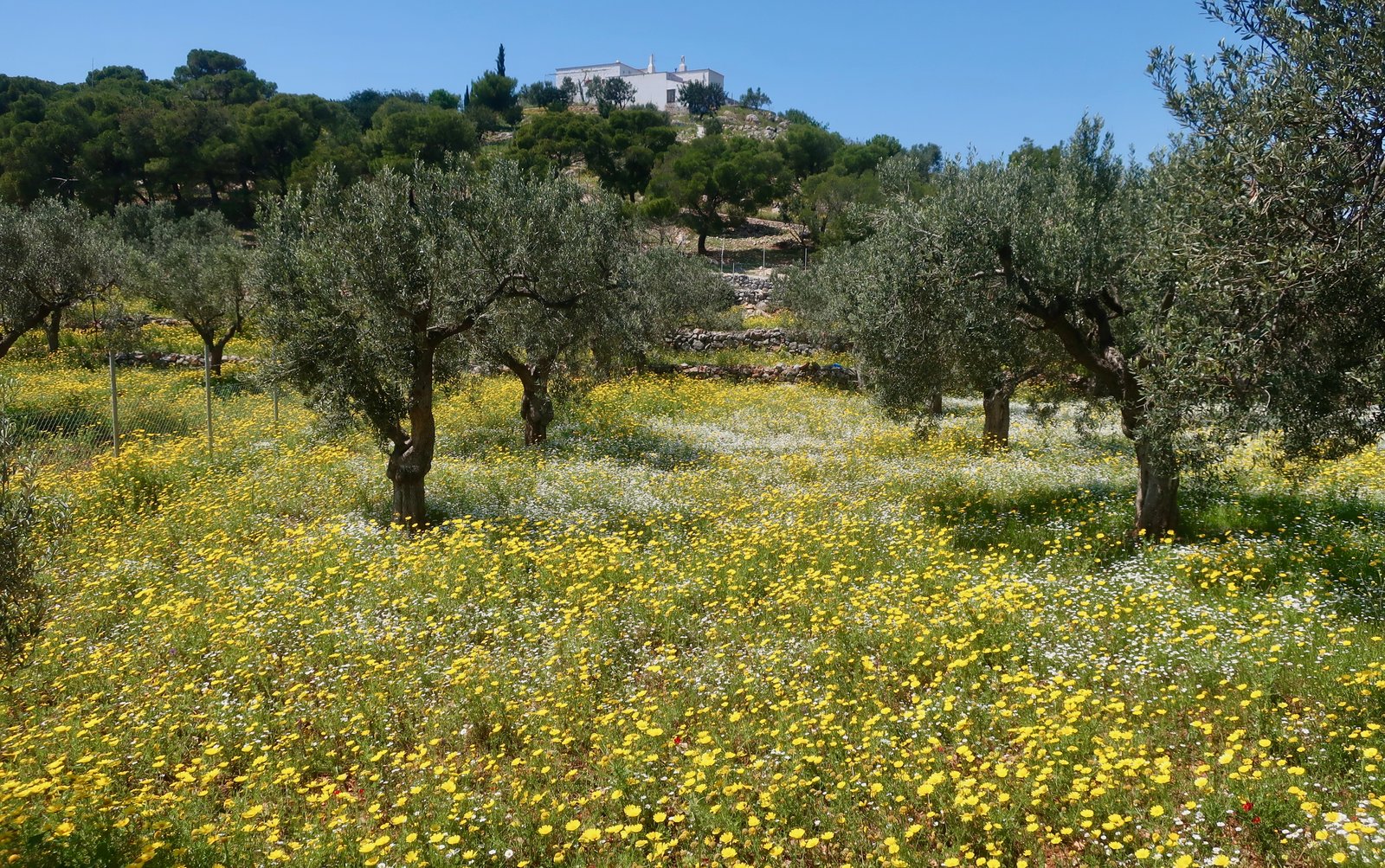
If you go in spring, as we did, the island will be green after the winter rains, and awash with wild flowers. Really, awash.
HIKE 1
Trails 1 and 1a.
Hydra town – Profitis Ilias Monastery – Mt Eros – Episkopi – Bisti beach – Episkopi – Palamidas beach – Hydra town.
Roughly 35kms
Both Trails, numbers 1 and 3, begin at the end of Miaouli Street on the seafront. Approximately 600m from the water, still on Miaouli Street, there is a fork. Trail 1 to the right. There’s a small yellow hiking sign on the wall, marked Profitis Ilias.
Soon there’s another choice: a new, well-made stone path or, for part of the way, an alternative, worn-but-maintained, old stone kalderimi. They exist side by side.

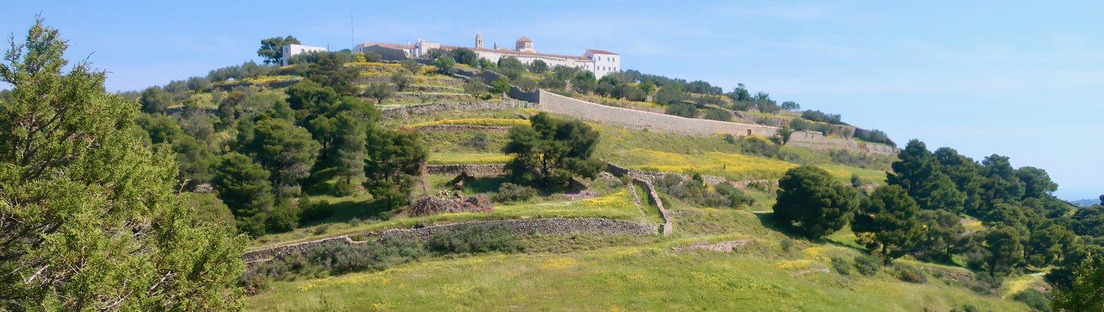
Both lead to the monastery, which in April, after the winter rain, is Tuscan in its lusciousness, on a rounded hilltop surrounded by stepped levels of olive groves and meadows of buttercups. I can think of no Greek monastery or church that has seemed as painterly as this Profitis Ilias in April.
A diversion can be taken off the path to the top of Mt Eros, from where much of the shape and texture of the island is visible in both directions. Looking down, in some places you would almost believe that lines had been drawn on the land, and then compressed to make the stripes of ordnance survey. You can almost see it writhing.

To the north and west are the Peloponnese, the port of Ermioni and the mountains of Troezen.
The main westward-leading path, partially stone-edged, passes a little below this high diversion. It leads in and out of clumps of pine forest. Having on many islands been promised the possibility of golden orioles, here we actually saw them, unmistakeably regal yellow and black. Hydra’s an Aegean stop-off on the way north after winter in central and southern Africa.
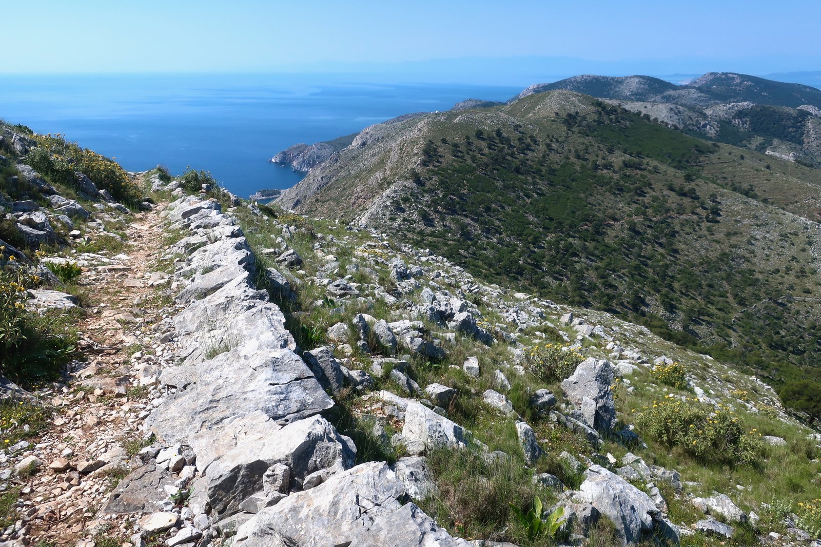
The path continues towards Episkopi, a small farming settlement of a dozen or so houses, a church, terraces of olive trees, an abundance of spring flowers. A dirt track (the continuation of Trail 1 on the Hydra Trails site) doubles back down to the coast. Trail 1a continues on through the houses, into the hills, through dense juniper and pine and eventually turns down towards Bisti beach. The beach in April is deserted, some leftover beach equipment evidence of its summer vocation.
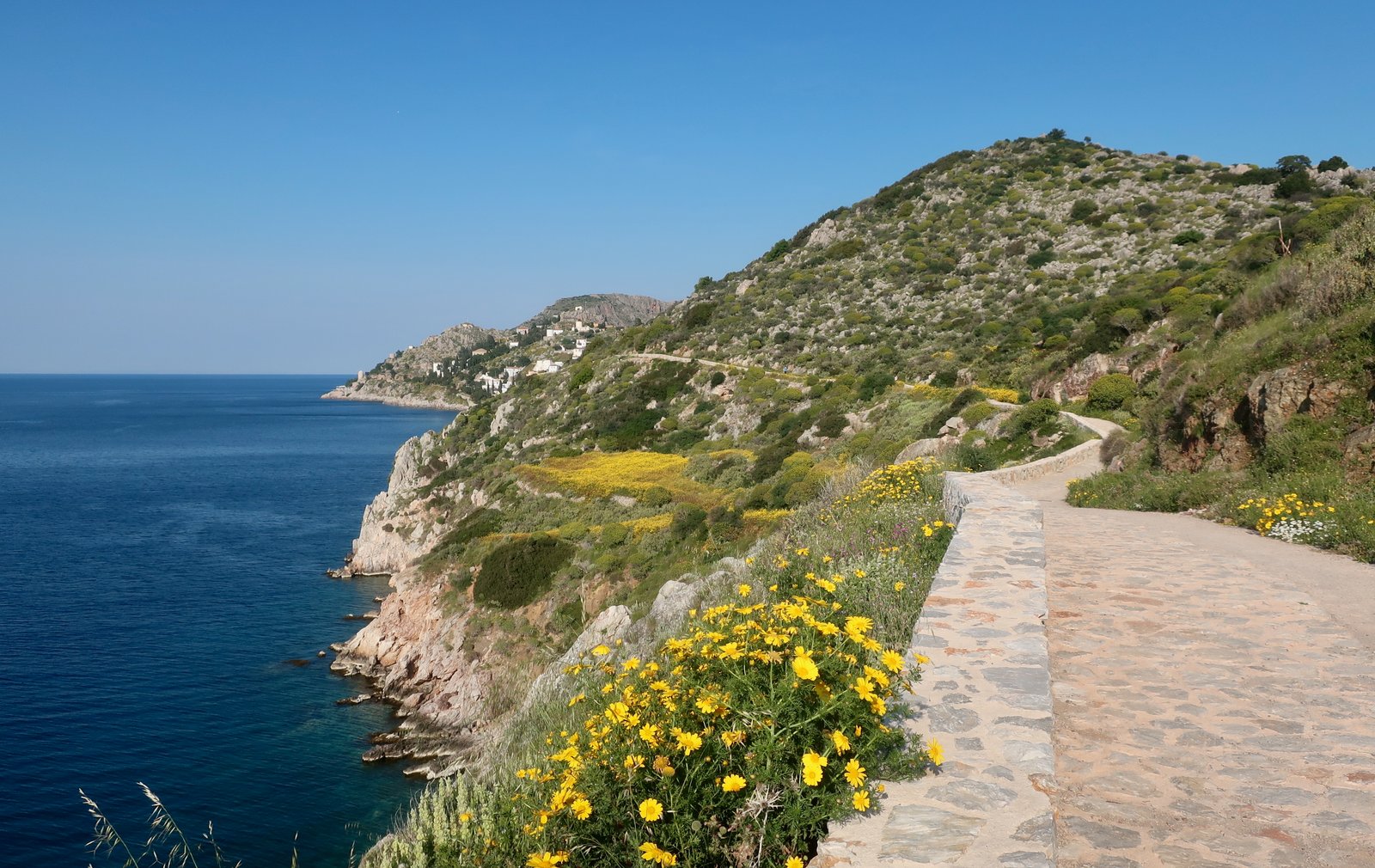
Back up to Episkopi on the same path, then down to Palamidas beach. The trail leads all the way along the coast back to town. In springtime there’s such an impression of opulence, endless slopes of spring flowers, views across to the Peloponnese, the clarity of green-blue water, the little port at Kamini. You couldn’t fail to be a little dazzled.
HIKE 2
Hydra town seafront – east on Trail 3 to the Zourva monastery and Zourva lighthouse, the far eastern end of the island. Back on the same path and then via Trail 4, the small port of Mandraki and the coastal path into town.
Roughly 35kms
The same beginning up through the middle of town as for Trail 1, but a left-hand turn where the other goes right. The path leads past the Agia Triada and Agios Nikolaos monasteries to the Panagia Zourva monastery, and on, eventually, to the end of the island, the Zourva lighthouse.
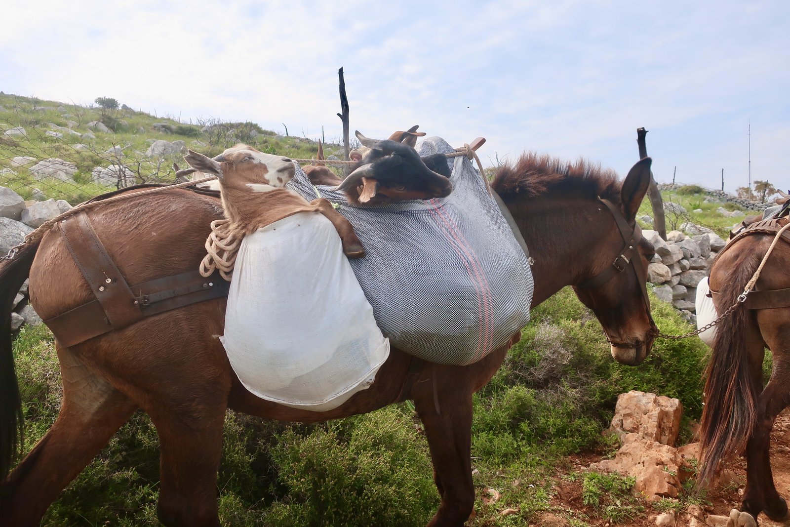
Most of the way is narrow dirt trail, still used by farmers. At one point we heard a distant noise of squealing, almost of grief, and saw a train of loaded donkeys coming towards us. Only when we got close did we realise that the cargo was goats, each donkey carrying bulging sacks into which adult goats had been unceremoniously stuffed. Four days until Orthodox Easter with all its festivities and goat stews. As if these goats, that had probably spent their lives roaming over the island, driven loosely from place to place, could not be trusted not to understand their fate, and like in a grim fairy tale had had to be tricked and bagged.
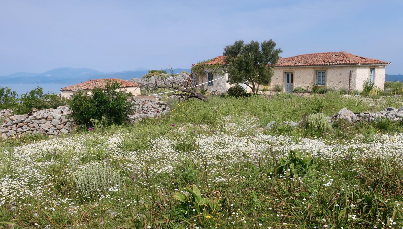
On this side of the island there is even less habitation than on the other. A few old farmhouses swamped by spring meadows of wildflowers.
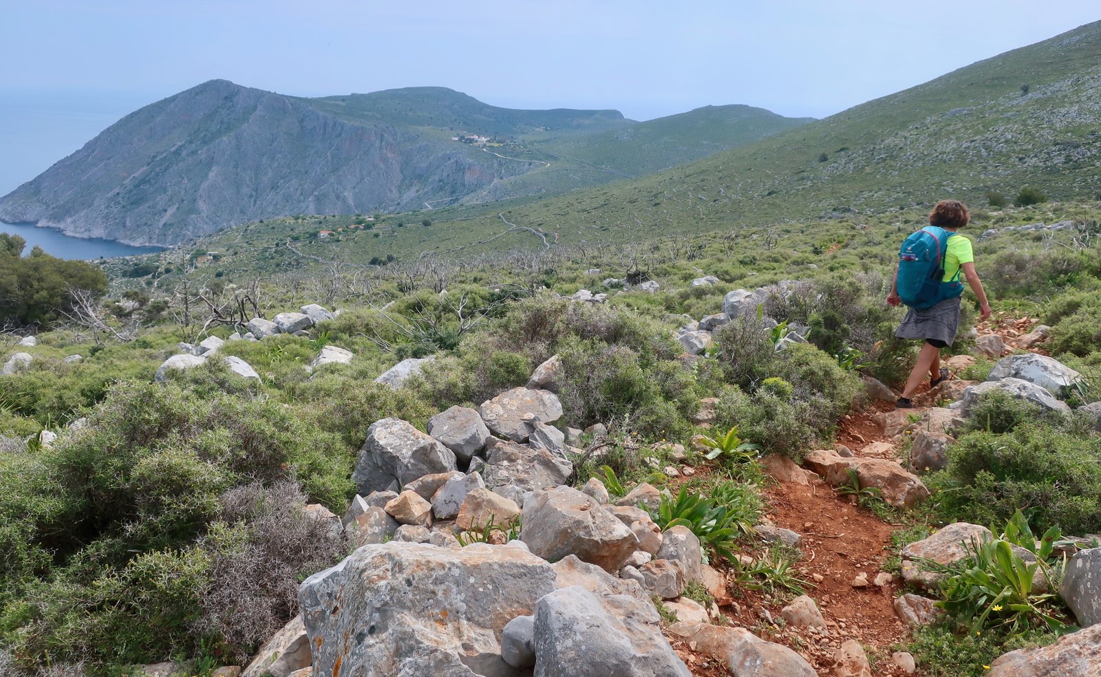
The second half of the path is nothing but bare, wild hillsides. For much of the way the monastery, which houses a small community of nuns, is visible in the distance. As with most Greek monasteries, they have an open-door policy for visitors, most of whom are deposited by boat in Ledeza bay, below, later picked up and taken back to town. The stone steps all the way down to the small dock are perfect, from above like a segmented worm lain there, draped down the hillside, a succession of hard v-bends back and forth. They were apparently constructed by one man, a local shepherd, over a period of somewhere between ten and seventeen years – choose which website to believe.
After the monastery, just before the final stretch to the lighthouse, the church of Agios Ioannikos is attached dramatically to a cliff face on the south coast of the island, one hundred dizzy metres vertically above the water.

And then the lighthouse, another lighthouse at the tip of another island, this one still functioning, albeit automatically. Inside, an otherworldly simplicity of cogs and flywheels. These days the lonely job of lighthouseperson seems barely to exist.


The path home is identical, or with a diversion to the right just after the Agia Triada monastery, can take in most of Trail 4 that isn’t on Trail 3. The latter version arrives back in town via the coast instead of back down Miaouli Street.