
Kythera is neither Ionian nor Aegean. On the map it’s in freefall, having become detached from the bottom of the Peloponnese. It was once one of the seven main Ionian islands, although it’s nowhere near the other six. With them, it was a member of the splendidly-named, short-lived, Septinsular Republic (1800-1807). Nowadays it’s part of the Attica region, which includes Athens and the Saronic islands, from which it is again distinct and distant.
Like most islands, Kythera’s economy depends on tourism. Because it’s relatively out of the way, relatively hard to get to, it’s not ideally situated for the purpose. This is darkly ironic. In the past it was in the way, and because it was in the way it received too many visitors.
During the medieval period it was a regular port of call for Arab raiders, on a direct route between the North African coast and the Aegean. Life on Kythera became so untenable that the island was completely abandoned around the year 700 CE. It wasn’t until 962 CE, a gap of more than two hundred and fifty years, that the retrospectively-venerated Saint Theodore of Cythera led the resettlement. Later, for the hundreds of years during which Barbary pirates terrorised the Mediterranean, it was again on the main sea route from the Barbary coast, a magnet for pirates in search of booty, an ideal spot from which to ambush passing vessels.
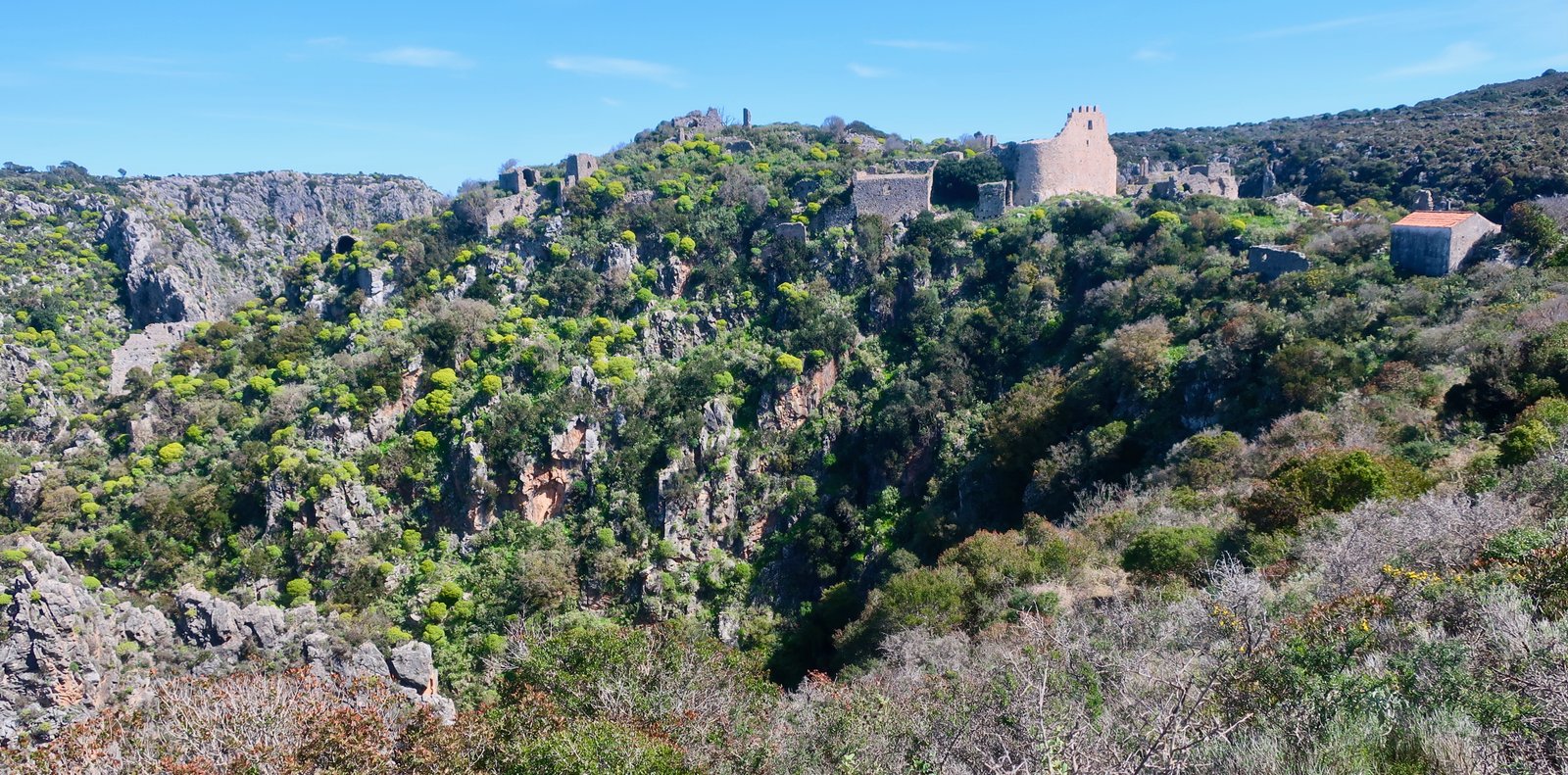
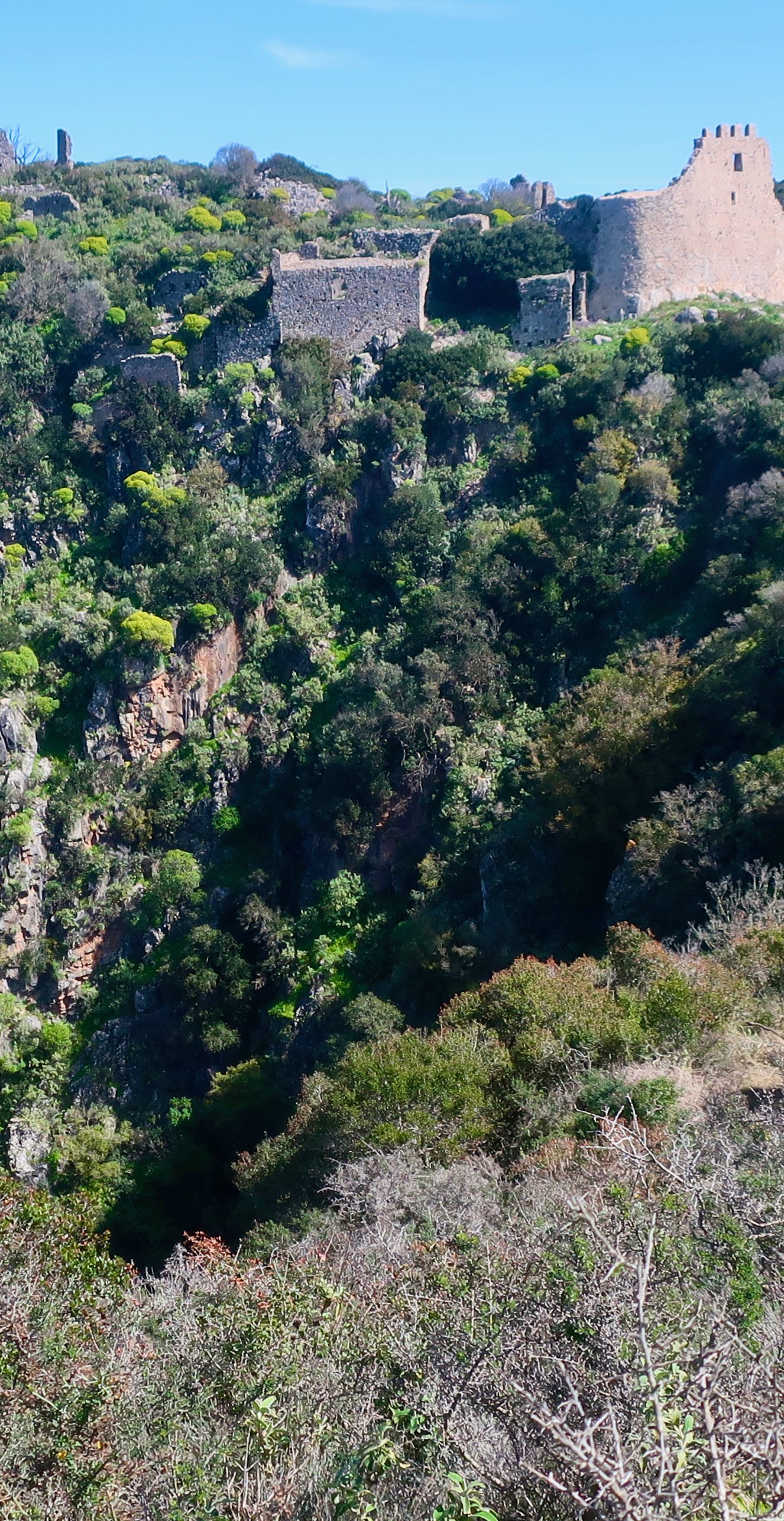
Around the 12th century, in response to the endless pirate raids, the settlement of Agios Dimitrios was built on a promontory that juts into a gorge, sheer on three sides. The surrounding land – cliffs and hill-tops – is slightly higher than the settlement, so that the buildings are mostly invisible from distance. Kytheran history-and-tourism sites suggest that its location remained a secret for generations, perhaps hundreds of years. It’s very hard to believe that the most populous town on any island could possibly remain hidden for so long. In the end though, whether it was a code of silence or its defences that had kept it safe for centuries, like almost all such places, it fell. The most well-known event in Kytheran history is the destruction of Agios Dimitrios (now Paleochora) in 1537, by the Ottoman pirate/corsair Barbarossa.
Kythera is one of a number of Greek islands whose history has come to be overwhelmingly defined by one cataclysmic event.
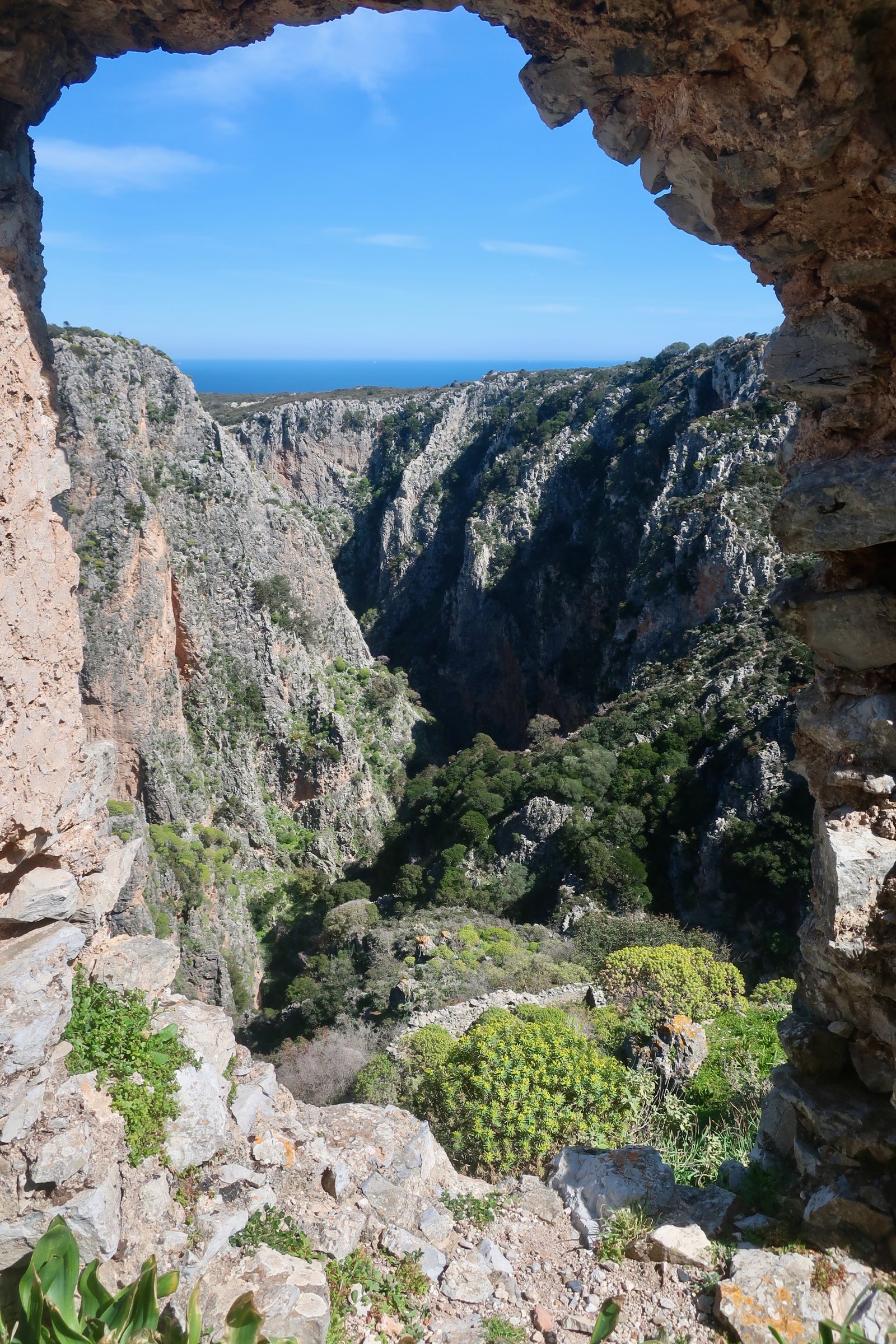
After Barbarossa had either slaughtered or enslaved all the inhabitants, the site was abandoned for ever. It’s said that sometimes you can still hear the wailing voices of the women of Agios Dimitrios.
***
On Kythera, instead of funnelling through the Dardanelles and punching down from the north, the wind comes most often from the west, the Ionian Sea. Having travelled all over the Aegean, where so much – the harbours, the villages, the angle of the streets even – is constructed with the north wind in mind, it’s a surprise to arrive in Diakofti, a port completely open to the north.
We came in early March to find low, soggy clouds snagged all along the western flank of the island. The visitkythera site, tending towards melodrama, says, Winter rains are strong and the sky is often full of dense clouds, with lightning striking the island mercilessly. Kythera is comparatively wetter, and therefore greener, than most of the Cyclades, even though the latter are further to the north. An expatriate resident we spoke to enthused about a walk at Mylopotamos, which follows a stream from ruined watermill to ruined watermill. It’s fantastic, he said, there’s a waterfall, it’s so green. As if we both didn’t come from damp countries in northern Europe and were not familiar with moisture.
Unlike most islands, on Kythera no one population centre dominates. Its three or four thousand inhabitants are divided between several reasonably-sized villages, of which Potamos, where we stayed, is the largest. In March it was quiet, but inhabited. You should see it in summer, we were told, it’s so Australian. During the season, the large Kytheran community in Australia come home. Island-places we pass through in winter are often hard to imagine animated; the empty squares, the closed-up cafes and tavernas, the silence. Potamos was different, it had a feeling of humming along, of ready-to-go.
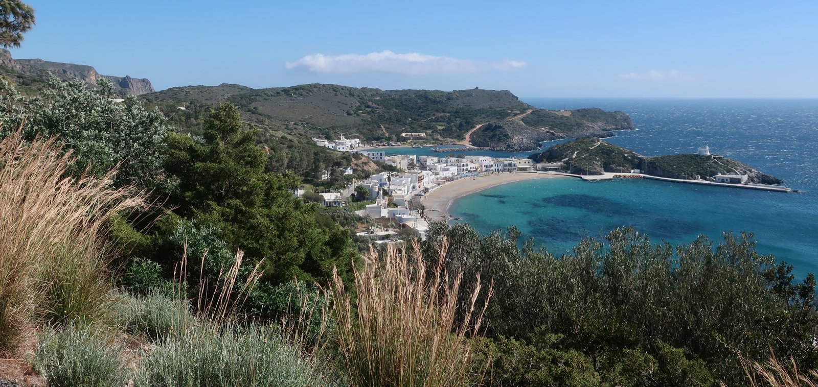
The Chora – capital – also called Kythera, is in the far south, an elongated settlement of traditional white buildings perched on a ridge stretching up towards the grand, walled vestiges of a Venetian castle, built on a rocky crag to dominate the open sea towards Antikythera and Crete. The position is gloriously strategic, guarding the crossing-point between Ionian and Aegean. Below it, Kapsali, a protected double beach and bay divided by a jutting peninsula, is a low-key tourist resort with a skim of tavernas and cafes around the waterfront.
Because Kythera is a big island, thirty kilometres long by about twenty wide, because public transport is limited in March, we rented a car for a day. One of the problems with such days, which for us are uncommon, is how difficult they make the process of appropriation. Walking, we own the land. We feel it and smell it and hear it. We experience the texture even, the ease or difficulty of passage. Afterwards we’re left with a biological and physical memory, not unlike a computer read-out insofar as it can – to a greater or lesser degree depending on the particular circumstances, depending on time passed since – be accessed later.
Walking is so specific and detailed that there can even be an appropriation of the land in only one direction, but not the other, as if the one route and all the places on it have two quite separate natures. On those occasions when we’ve done a trail in both directions – which we try not to, preferring circular routes – we often find that on the way back we have little memory of having passed. Time and again, thinking we might have taken a wrong fork, we’ve asked, Is this the way we came? And then we turn around and look at it from the direction we would originally have taken, and things swim into focus.
With a car we slide along the surface from one place to another, barely registering the way. The road to Limnionas is a partial exception. The few kilometres of asphalt down to the tiny bay seem to lean off the hillside, so that at first, seeing it from above, you can’t help wondering if it would be sensible to take it. But of course, it’s a road, and you sweep gently down, back and forth, gliding your way along, feeling something like a minor G force pulling out over the slope at every sharp change in direction.
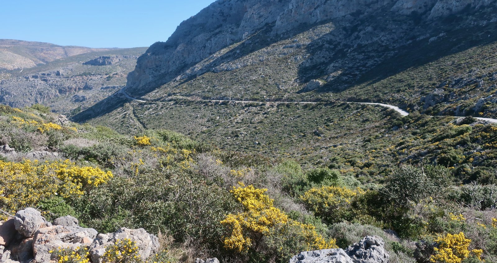
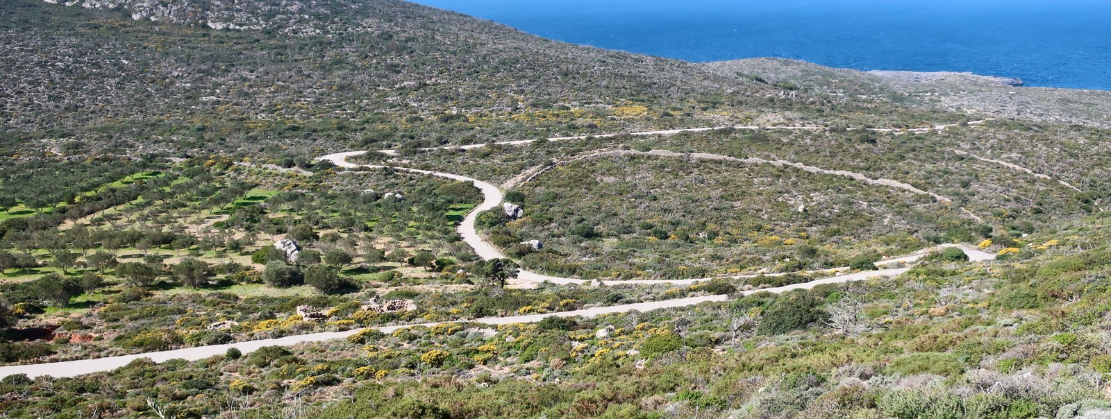
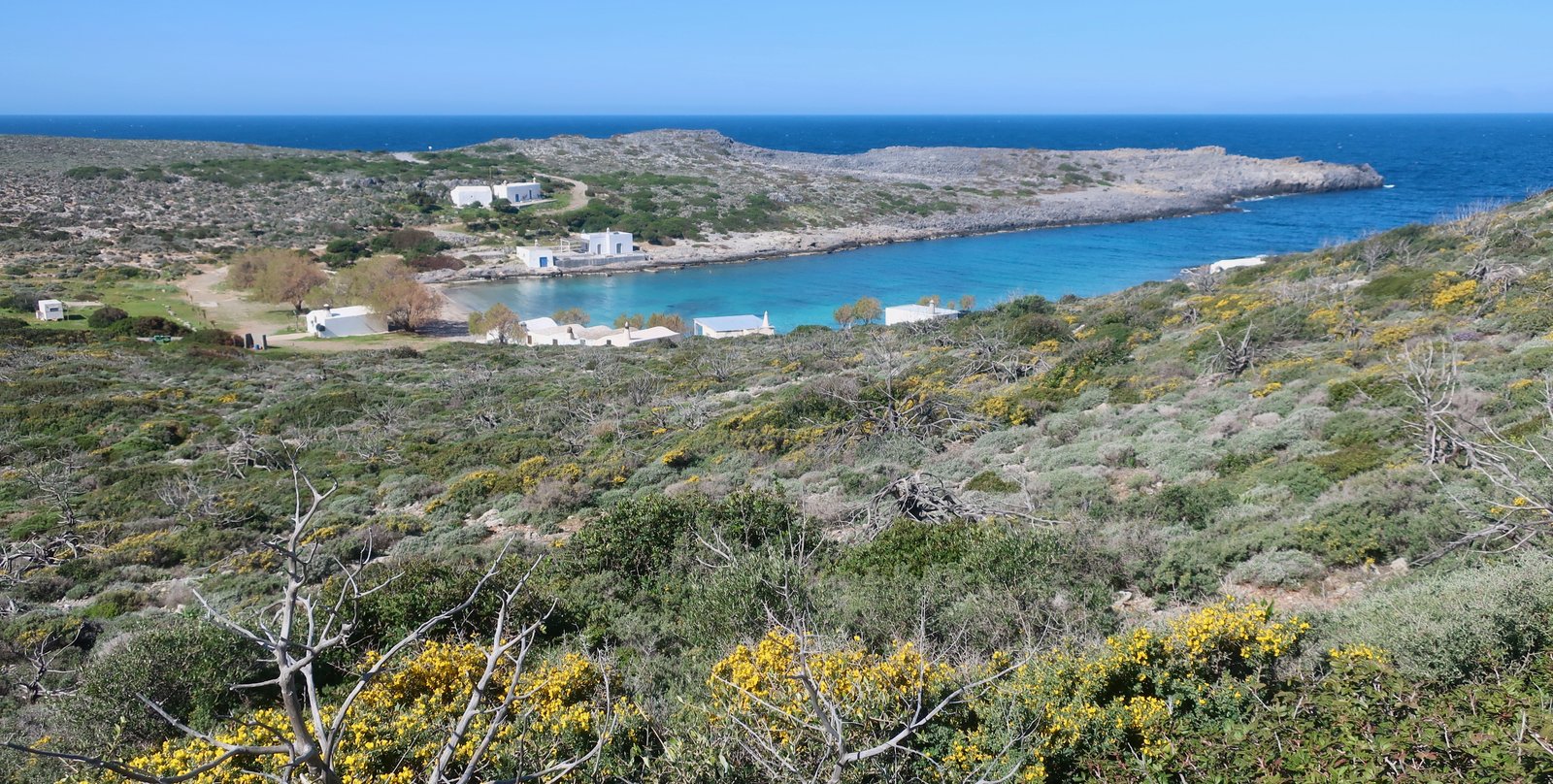
At road’s-end is Limnionas, where there’s very little: a couple of small, vaulted, white churches and half a dozen basic, rectangular buildings; a beach with some tamarisk trees; a finger-shaped, deep, narrow bay. And on the hillsides all around, a typical Greek Mediterranean phrygana landscape of low thorny shrubs, Jerusalem sage, kermes oak. No Kytheran wetness here.
The image of it has randomly repeated on me since – like so many Greek island images do – as if it was a quiz question: Identify this place. I’m more or less aware, even as the question is being asked, that it’s being asked because the place is paradigmatically perfect.
HIKING
There’s now a very good hiking site for Kythera, https://kytheratrails.gr/, which when we were there in February 2019 didn’t exist. It’s one of the best, most detailed and informative anywhere. On it there are eleven marked trails, for a total of eighty kilometres. Most of them are relatively short – the longest is sixteen kilometres. While there are trails in the north, south, east, west and central regions, they don’t come close to covering the whole island. They are little, unlinked pockets.
In the short time we were there, we walked sections of about half of these trails, and then carried on our way, stretching them, for a total of seventy or eighty kilometres. Just not their seventy or eighty.
HIKE 1
From Potamos, we did about 25 kilometres on mostly tracks and small roads to the north and west, going down to the northwest coast and back up again.
A gale force wind was blowing from the west. Damp as soaked-cotton-wool, charcoal-grey clouds covered us for much of the day. Signs of abandoned agriculture everywhere. There’s a eucalyptus wood up high. The summit on Kythera is just over 500 metres, but the central villages occupy most of the high land. In a sense, much of Kythera feels a step behind other islands, going back to a time before the movement of populations down towards the coasts became so headlong.

HIKE 2
Paleochora. Path M31 on kytheratrails
An extraordinary place. Paleochora is an archetypal abandoned cliff-perched, Greek medieval village. Walking around it there are a series of dizzying views. Banks of flowers in springtime descend on village-fringing slopes until suddenly there’s nothing, just air. Not for the first time we wonder what sort of children could have grown in such a place? Daredevils. Aerialists. Acrobats. We marvel at their prowess but still we imagine them falling.
When the pirates came there was no way for the villagers to escape. Paleochora today is petrified, as full of ghosts as any site anywhere in the islands, as eloquent as any such site can be. It hums with stories, spectacular and poignant.
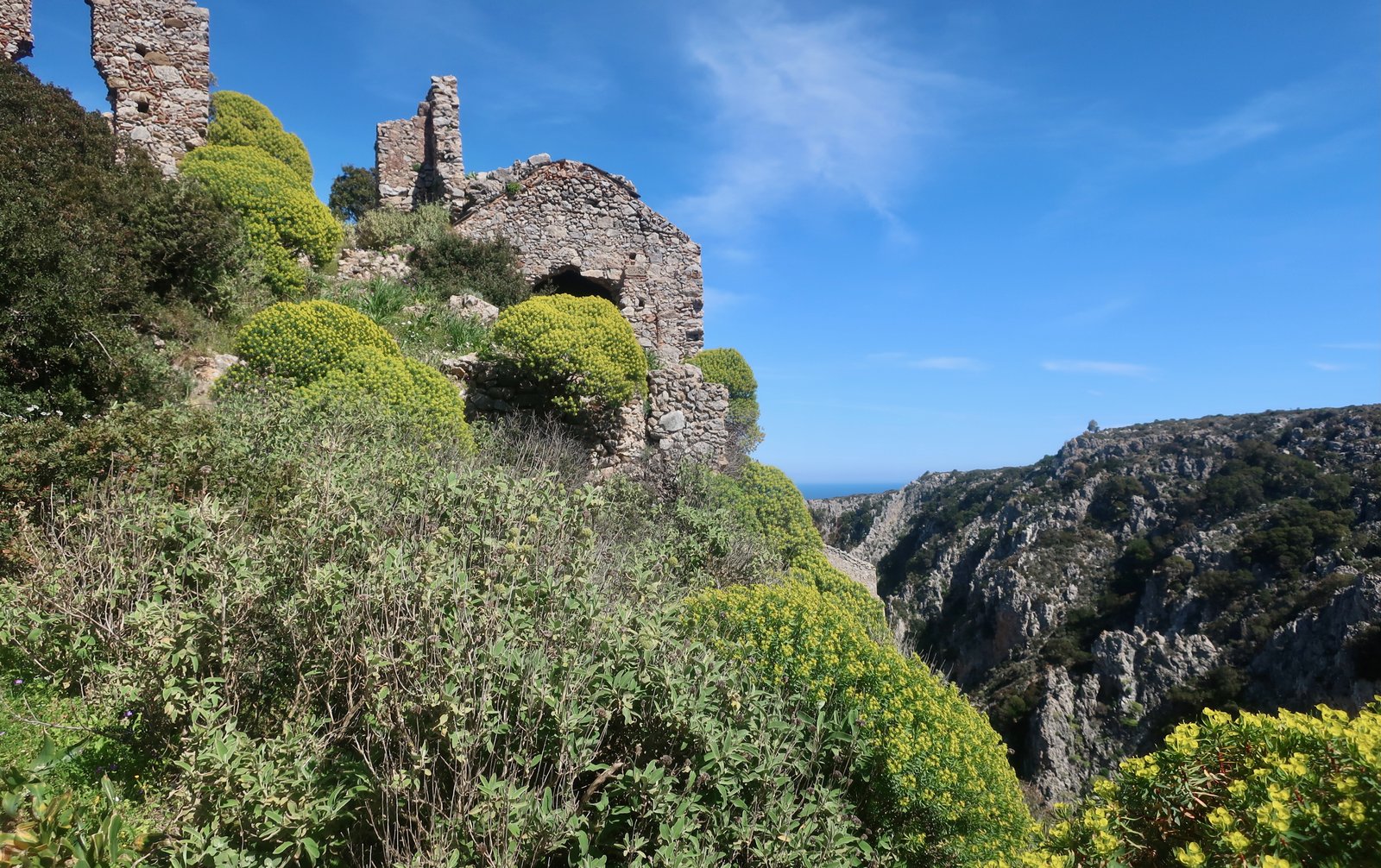
A path runs along the ravine-floor below Agios Dimitrios, much of it a sort of tunnel lined with stone walls both sides. There’s an ancient water-source, an oppressiveness.
HIKE 3
Path M41 is a 4.8 kilometre circuit from Mylopotamos. This, and the paths around Paleochora, are the best-known trails on the island
The trail begins in Mylopotamos, at the giant plane tree in the centre of the village.
If you were to call to mind the typical Greek village square, there would be a plane tree at its heart, with tables and chairs in its shade: village square, meeting-place, dance floor, a point of pride if the tree is particularly venerable. The fulcrum around which the life of the village turns. Also a likely pointer as to why the village exists, since plane trees grow where there’s water and in the islands the presence of water has often been the catalyst for settlement.
In March the trail was impossible to do without either getting wet feet or repeatedly taking off shoes and socks. It runs along the course of the river through an overgrown wet and green-frothy world, past ruined watermills, crossing back and forth over the water course. It descends 280 metres before climbing up to Kato Chora.
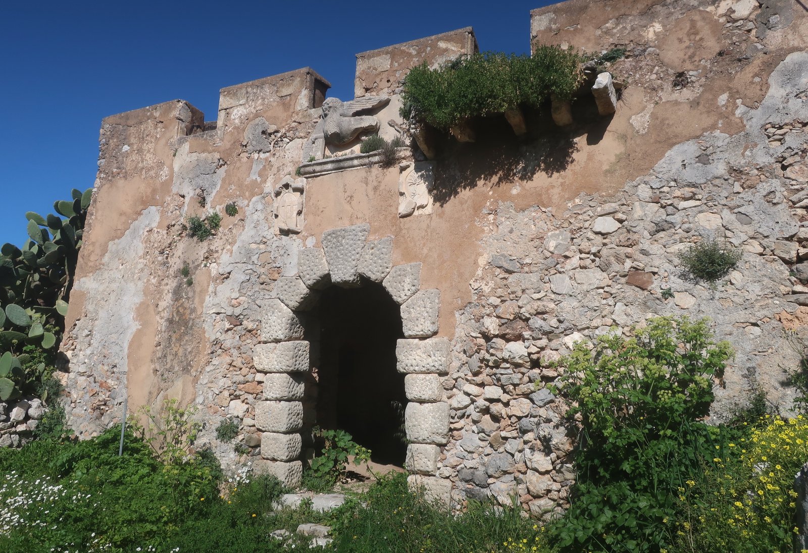
The abandoned settlement at Kato Chora, within an old Venetian castle complex, the Lion of Venice in stone over the entrance, became the place of refuge after the destruction of Agios Dimitrios. The space inside the walls is a vivid, claustrophobic nest of tumbledown houses, churches and alleys, with at the end a prow, not unlike the prow at the end of the great ancient city in the Lord of the Rings films, with a headspinning view down. In springtime the dereliction is softened by a covering of wild flowers.
HIKE 4
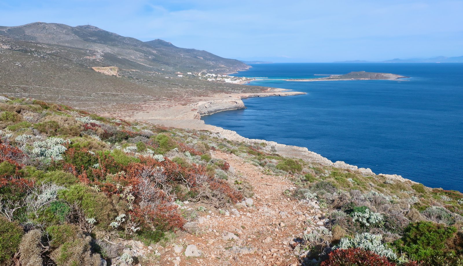
One day we took a taxi from Potamos to Avlemonas, on the southeast coast. From there we followed the trail into the low hills, up to Diakofti, then on past the end of Kakia Langada gorge on the coast and up to Agia Pelagia, before turning inland back up to Potamos. A little more than 30 kilometres overall. Some of kytheratrails M37 and M38, and quite a lot more
***
Avlemonas is a small fishing village, ultra-photogenic, built around a y-shaped double bay. The internet is awash with ever-so-slightly different versions of the same image of Avlemonas – crystal water, palm trees, small white houses. They make it look like it has become unmoored from a Disney theme park.
There are paths and tracks over the hills on this dry side of the island. Low, spiky growth.
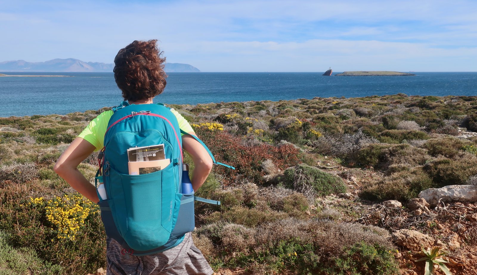
The port of Diakofti was constructed only in the 1990s. There’s a shipwreck a few hundred metres offshore, the bow thrusting through the water as if it’s on the way up, not down. There are notable shipwrecks on many islands. Zakynthos is the most well-known, followed by Amorgos, whose wreck featured in the film Le Grand Bleu. The wreck at Diakofti has yet to fulfil its tourist potential.
From Diakofti we walked trails and tracks and roads to Agia Pelagia, the old port, still the main fishing port and a minor tourist destination these days, then back up to Potamos and home.