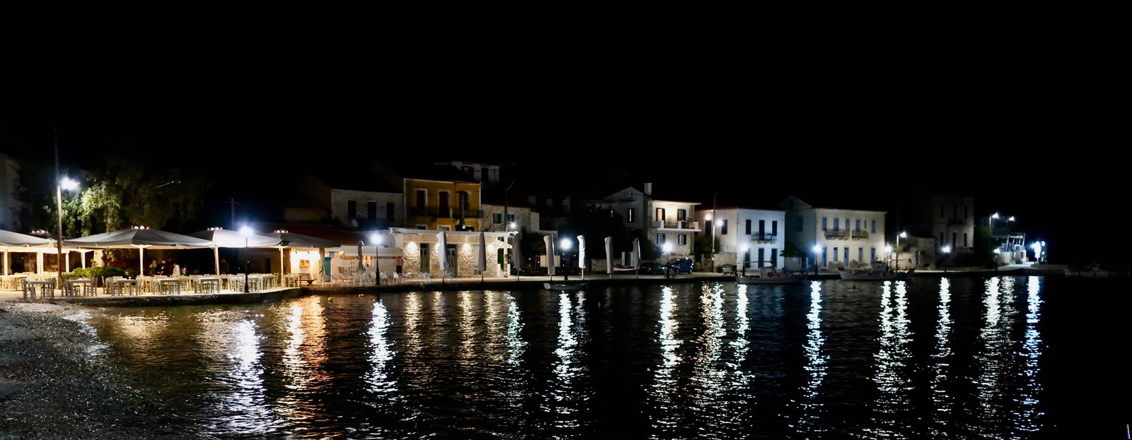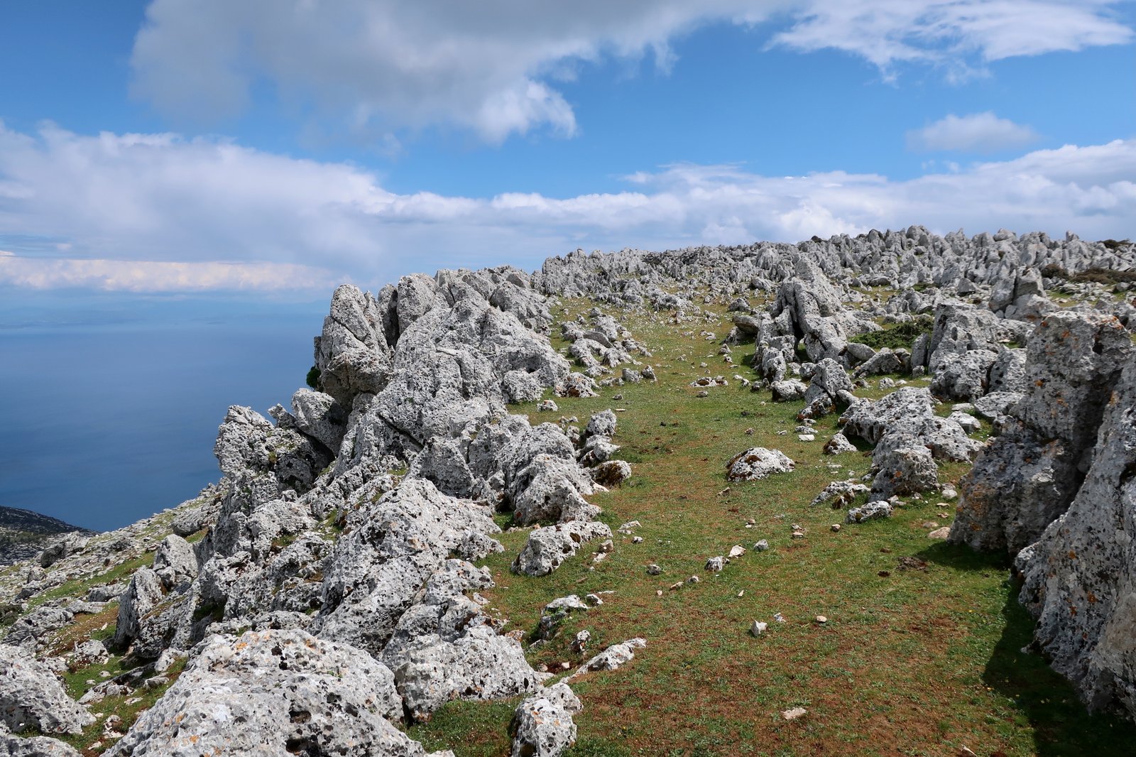
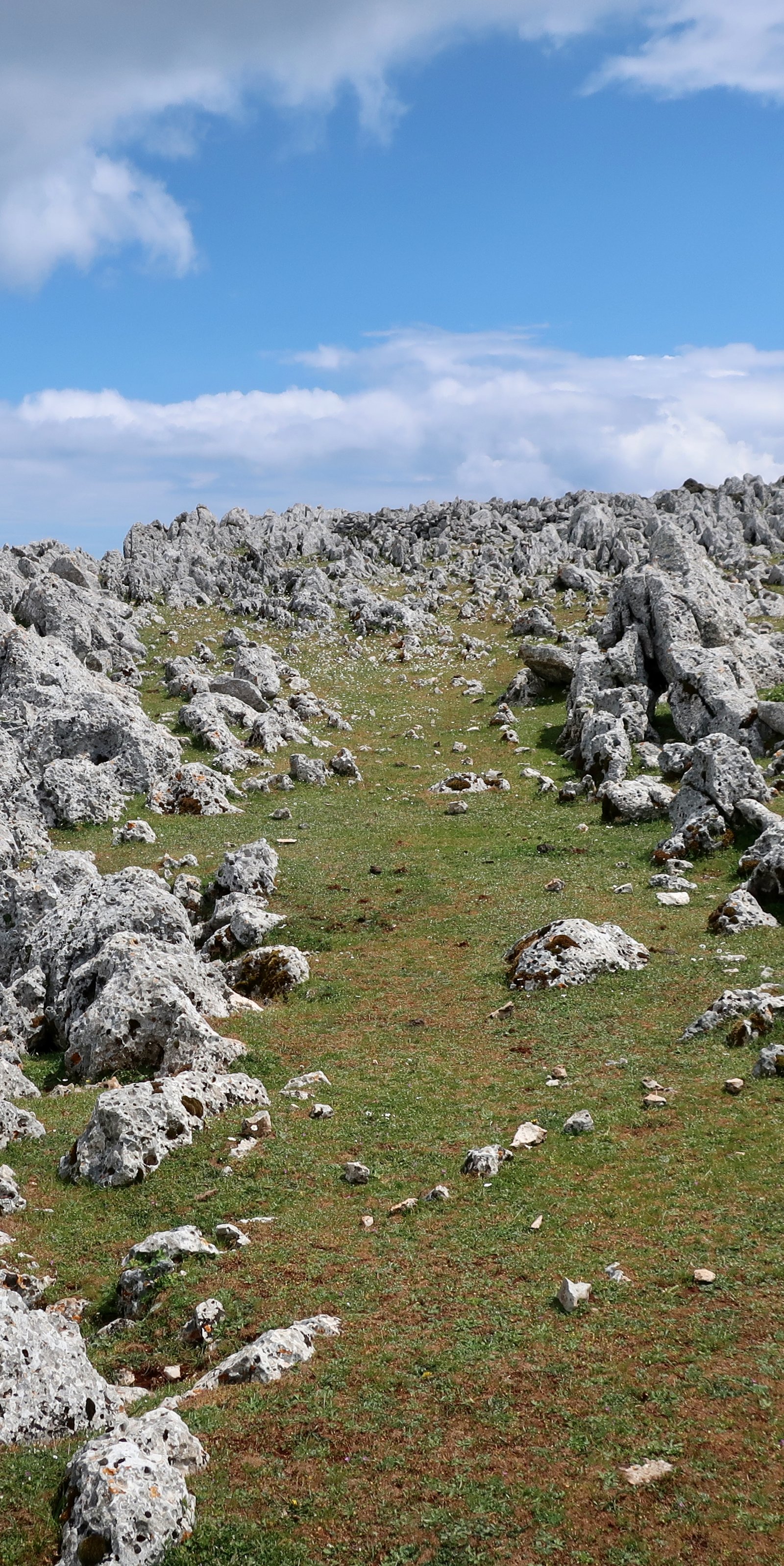
Ithaka is so close to Kefalonia and so comparatively small that from many angles it’s impossible to separate them. Barely twenty kilometres long by an average five wide, today it has a permanent population of just over three thousand. Even allowing for historical fluctuations, Odysseus, King of Ithaka, was headman of a largish village. Perhaps more than anywhere else, Ithaka makes clear the scale of the ancient world.
***
From Kefalonia, the trip over takes half an hour. Arriving at the new port of Aetos on the wild west coast, there’s one small building in which to sit and wait. Depending on time of year, there are few, if any, buses. With travelling bags, nothing is within walking distance. The only sure ways out are rental car or taxi.
In comparison to most of the Aegean islands, the Ionians are covered in trees. (There are exceptions, mainly in the northern Aegean.) Approaching Ithaka on the ferry from Sami in Kefalonia, green hills rise steeply from the sea. There’s no sign of life. In the early morning it steams.
The largest town and current capital is Vathy, built within a wide bay. In season it’s a stopping-off point for yachts. The Ionians, where the winds are less capricious than in the Aegean, are especially popular with sailors.
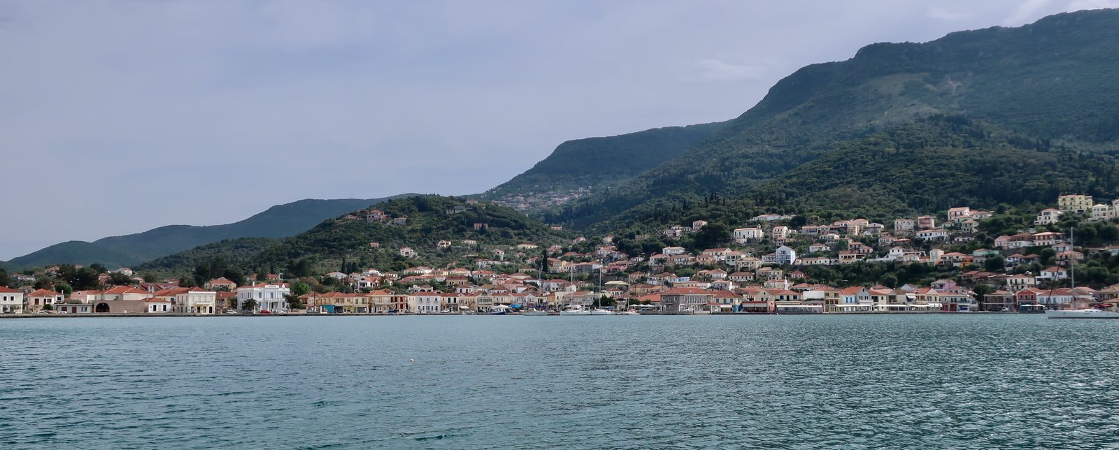
We first came to Vathy several years ago on a yacht belonging to a friend of a friend. Our one experience of sailing in the Greek islands. What I remember most of that visit is the tiny island of Lazareto in Vathi bay. Or not so much the island itself, rather the moment of it being named for us, as we sailed in. Lazareto is an ex-leper colony, we were told. Suddenly it was endowed with biblical heft. These days, according to the internet, it’s a picturesque marriage venue. But now, writing this, I’ve had to look it up to be sure it was on Ithaka and not Kefalonia, where we also stopped. Sailing was blurry, we hardly knew where we were. Our capital places were a succession of out-of-the-way bays and anchorages, with nothing to remind us in any exact geographical sense of their location.
The experience of visiting by yacht is so entirely disconnected from the experience of hiking that there’s only the most tenuous commonality. I’ve tried to visualise the yacht-visit, exactly what we did, the literal fact of being in certain spots, as if trying to meld it into the later visit, but it’s like blending oil and water. Yacht-Vathy and hiking-Vathy are different places.
***
Ithaka has two distinct halves, north and south, with a thin neck, 600 metres wide, to connect them. From the sky it looks a little like a chemistry experiment, the north of the island being distilled into the gut of the south.
Vathy is the most convenient place to stay in the southern half, although because of the small size of Ithaka, it would be possible to hike all the south from anywhere there’s accommodation.
In the north we stayed in Kioni, another port, much smaller than Vathy, several dozen red-roofed, mostly substantial houses scattered around a deep, thickly-forested bay. It too is a stop-off point for yachts, and nowadays a favourite with expatriates.
The northern half of Ithaka is more rugged and higher than the south. The barren central hills reach a height of just over eight hundred metres.
For one of the smaller islands, even in this world where so much is rugged, and vertical, 800 metres is not inconsiderable. Just that on Ithaka it feels less high. Kalymnos, the summit of which is around 760 metres, might be where the Titans lived, or where Hephaestus worked with fire and metal, a place of perdition compared to this softness. On Ithaka, rather than a peak, there is a curved spine to walk along.
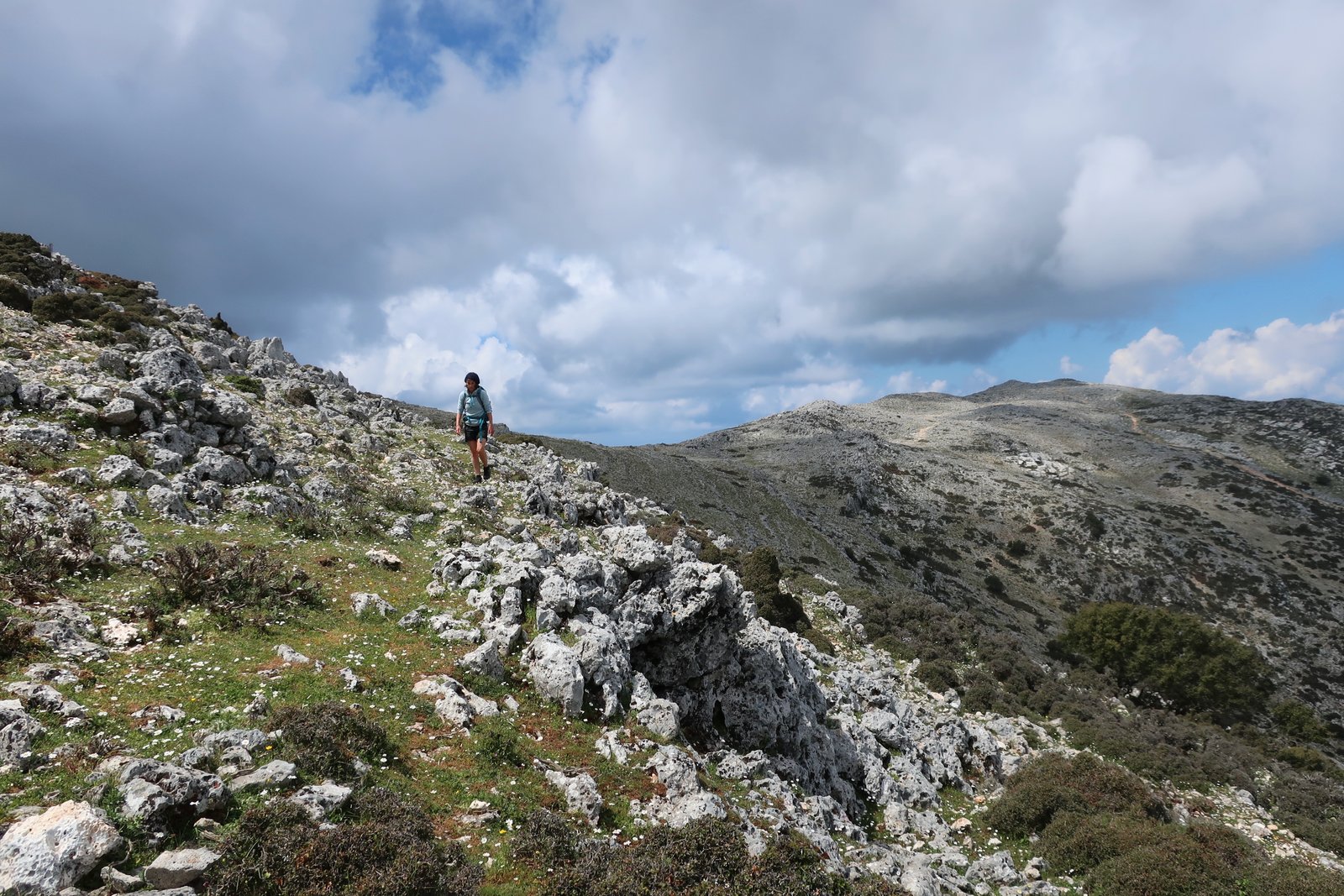
There are more villages too in the north: around the coast from Kioni is the even smaller port of Frikes, also photogenic, also a favourite with yachts; there’s Stavros, the lowland hub of the north, with links radiating up to Exogi, that sits on the ridge of a hill with views north, east and south; Platreithias sits in the foothills below Exogi; and there is Anogi, in the centre of the northern half of the island, at 550 metres the highest village on Ithaka.
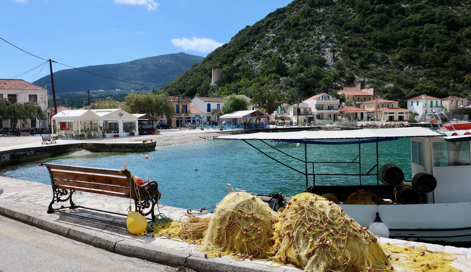
At Anogi there’s a small monument to Nikolaos Galatis, who died in 1819. Originally from Ithaka, he was briefly one of the more important actors during the build-up to the Greek War of Independence. Having decided he had become a liability, his own side lured him to a lonely spot in the Peleponnese and shot him there. He took fifteen minutes to die while, the story goes, his assassins wept. His last words are inscribed on the monument:
‘What did I do to you?’
Also in the north of the island, on a hillside below Exogi, is what is billed as the palace of Odysseus. The site has been variously dated between the 8th and 11th centuries BCE. The former would be too late for most scholars’ dating of the Trojan war, the latter not impossible, although since no-one can be sure that Homer was describing real events, that Odysseus ever lived, when exactly he might have lived if he did, nor even be one hundred per cent certain that ancient Ithaka corresponds to modern Ithaka, the chances of it having anything at all to do with Odysseus are negligibly slim.

None of which matters. The site is ancient and evocative. And the story of Odysseus, spurious or not, makes it more so. Unlike most other classical sites this one is peopled with so many characters. Not just Odysseus, but Penelope and Telemachus and the dozens of greedy suitors. Somewhere among the stones there’s Odysseus with his bow shooting an arrow through seven ax-heads. There are the maids and there’s the slaughter. The place hums. The whole cast, the whole thing, it’s there, even if it’s not.
On a comparative scale of where is fashionable in the Greek islands, at time of writing, 2023-2025, Ithaka is having a moment. Still, in April there were very few tourists, and although in the high season it must be different, it can never be really crowded since there are no facilities for mass tourism, no big hotels or resort-towns. Ithaka has chosen a different sort of development.
I asked the taxi driver who took us up to Kioni from Vathy what he thought of the summer visitors, the selling off of a considerable number of old houses to foreigners, the consequent rise in prices.
Now we can survive, he said.
It’s the same answer most everywhere. Even without the turmoil of economic meltdown in Greece, life has always been hard on the islands. The harsh human history is cognate with the inhospitably rugged, steep and rocky terrain.
There are partial exceptions – the Ionians are not as weather-beaten and unforgiving as the Cyclades or the Dodecanese. But whichever side of the Greek mainland it is, subsistence agriculture has few attractions today.
***
I recently sent a photo of a quiet place on Ithaka to a friend who many years ago spent much time in the islands. He thinks that nowadays they’re all spoiled beyond redemption. But he liked the photo and wrote back, Thank goodness there is some beauty left.
It’s easy to get caught up in an idea and just follow it through to its logical end-point, which here, is, Tourism has ruined all the islands.
Perhaps it’s because this is so flagrantly untrue, or perhaps it’s more personal – in the last few years we have spent so much of our lives in the islands – that I want to make it clear, again, that for us there’s almost nothing but beauty. On any given day, at any given time, there’s nowhere else in the world I would rather be. Coming to the Greek islands, hiking there, for us has been like falling in love.
HIKING
We used the Anavasi map, with its twelve hiking paths – six in the south, six in the north, (plus various A and B offshoots). Mysteriously, the map numbers them 1 to 6 and 11 to 16.
The southern half we did over two days, but missed numbers 2 and 6 entirely – it was raining hard and we had to move on. The north we did over three days, but didn’t manage to fit in numbers 15 and 16.
To the best of my knowledge, beyond the Anavasi map, a hiking guide specifically for Ithaka doesn’t exist. One day it probably will – we often come across small pamphlets or thin guidebooks, sometimes interesting, never indispensable, produced by a local aficionado who has remained fixed upon the one island. He or she will be certain that their island is the best for hiking in all of Greece. They’ll probably claim as much but will almost certainly not have been to Kasos and Karpathos, Corfu and Paxos, Hydra and Antikythera and Skopelos and Ai Stratis and all the rest.
But I do get it, the obsession with one island. It’s not so different from what we’re doing, just a question of focus.
Much of the island is impassably dense, choked with spikes, or tangled undergrowth, or forests so unvisited that branches prevent all possible passage. During our brief yacht-visit, one day we went ashore in a tiny bay, intending to explore. We didn’t manage more than about seventy-five metres in any direction. The vicious undergrowth made further exploration quite impossible. Our first-ever attempt at rough hiking on the Greek islands and an immediate appreciation of how complicated it can be. The old trails are not only historical remnants, often they are also the only possible way to get around.
In a hiking sense, Ithaka is a prototypic Greek island: there are old stone-laid paths, coastal paths and woodland paths; there are classical ruins, highland trails, remote beaches, churches and monasteries; there are highland villages, lowland villages and old ports and there are hillsides of terraced farmland, most of it now abandoned. Unless it’s tourist season and you’re heading for a beach, you’ll probably meet no-one on the paths. The great emptiness of the Greek Islands, even with their millions of visitors.
SOUTHERN ITHAKA
HIKE 1
Vathy to Perachori on Trail 3A, then Trail 1 as far as Marathias. North on the road until reaching Trail 1B, then down to Arethousa Spring and Pigadia beach. Trail 1B, 1A and 1 back to Perachori. Trail 3 back to Vathy
About 25 km
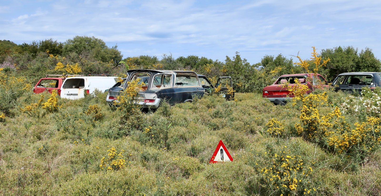
Trail 3A from Vathy to Perachori is mostly tarmac road. After Perachori, Trail 1 runs through open woodland, often on the tops of old olive terraces. In springtime, with all the wildflowers and new growth, it’s green and lavish. Miles from anywhere, the last part of this path goes past a small, unlikely car cemetery. Among the vehicles is an old Plymouth hearse from the US that somehow has found its way here. A froth of spiky vegetation is gradually overwhelming everything, slipping in through open doors, broken windows.
It’s like an alternative version of the mythological underworld, where instead of being sent to the Fields of Asphodel, there to wander forlorn and dazed, the souls of the ordinary dead are gripped by these creeping needle-spikes, held unmoving for eternity.
The path continues on through open scrubland, a little less clear until it hits the dirt road at Marathias, where there are a few alternatives on the map, and a few at first sight plausible paths that disappear quickly into nothing.
It would be possible to walk from here out to Cape Mounta on the southeastern tip of the island. Four kilometres there, four kilometres back, 250 metres altitude down then up again, for the very real pleasure of standing on the tip of Ithaka looking out to mainland Greece. Since the day is already 25 kilometres long, to add this section would mean a very early start.
From Marathias, the way goes north on the road until hitting the 1B, then takes a right turn on the Trail down to Arethousa Spring and Pera Pigadi beach. The upper section of this old path has been painstakingly re-paved. Lower down it reverts to the path as was – gnarled stone, dirt. A trail of one sort or other has been here for at least two thousand years, probably much longer – Arethousa Spring, possibly this Arethousa Spring, is mentioned in The Odyssey as the place where Odysseus’ shepherd Eumaeus brought his animals to water.
Pigadi is a tiny white-pebbled beach. Like so many Greek island beaches, it is remote, accessible only by this one steep path. The chances of bumping into anyone else are minimal. You can swim to your heart’s content. (Even if, in April, when we were there, the water was bracing.)
Having climbed back up the hill, from the junction of the road and Trail 1B, Trails 1A then 1 – road then track then path – lead back past Agios Athanasios into Perachori. Again it’s comfortable woodland walking, again with a headful of Odysseus and how similar it might all have been three thousand years ago, the paths and terraces.
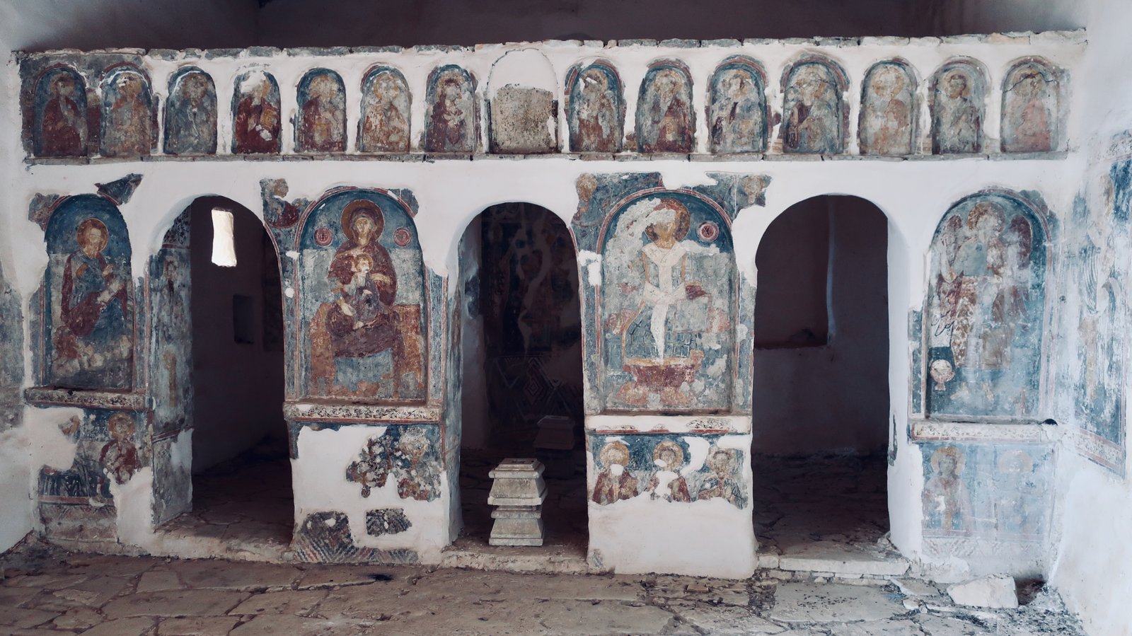
Trail 3 (not the Trail 3A taken in the other direction) from Perachori to Vathy slips across the western hillsides, with rich views down to Vathy. It’s partly stone-laid and runs past the remains of Palaiochora, the ancient precursor to Perachori, where the church of Ai Giannis Theologos would seem more stable than church were it not for the masonry iconostasis, a temple in miniature covered in paint-flaking frescoes.
The Nymph’s Cave, marked on the map, was closed when we went past.
HIKE 2
A tour around the northeast promontory of the southern half of the island, including Mt Vigla, Gidaki beach, Skinos beach, Minimata beach and back into Vathy on Trail 5.
About 17 kms
Out of Vathy on the main road leading east to Sarakiniko beach and bay. Just before Filiatro beach, there’s a left-hand turn up towards mount Vigla (250m). A small path runs across a hillside of sage plants. In April they were in flower. In season and in such concentration the smell – a blend of perfume and ammonia – is overwhelming.

Just before the point at which the trail turns into an ugly pale-stone track, uncomfortable to walk on, there’s a small country church, unmarked on the Anavasi map. It sits in a clearing with only three huge, ancient olive trees for company. The site is as banal, peaceful and memorable as so many similar sites in the islands.
After Vigla summit the trail goes to Gidaki beach, long, thin and curved, accessible only on foot or by boat. When we were there the northern path leading down to the beach had been washed away, leaving no option but to take a short scramble – hands, backside, knees – down a steep bank four or five metres high.

In season a few people will come from Vathy on Trail 4 – see the thin pencil line through the greenery near the far end of the beach in the photo, above – on a path that goes through shady woods, along the coast past Skinos beach, then on the road back to town.
Having not taken the small path-deviation out to the end of Cape Skinos, we did divert off at Minimata Beach. There’s a dotted path on the Anavasi map that leads around the coast, with low rocks like teeth to carefully clamber over along the shoreline between the two beaches. The passage is slow. Some agility needed. A slip could be very uncomfortable.

The black dotted trail that was supposed to lead from this next beach onto Trail 4 appeared not to exist. Rather than go back, we carried on around the coast on an obvious path a few metres in from the water. In mid-April this path was all wild flowers and covered leafy passages, like illustrations from a nineteenth century storybook. Not until we reached a clearly private jetty near the tip, Stou Naou, within sight of a huge house, manicured gardens, did we guess we were on private property.
In mitigation, the GPS on my phone was showing a dotted green footpath still, with no indication that it was private.
In theory, the foreshore everywhere in Greece is public property. On Schoinoussa in the Lesser Cyclades, a group of young people we met, armed with conviction in the force of the law and their rights, had taken the habit of deliberately wandering their way around the coast into the land of a wealthy Athenian. On little Schoinoussa, this sort of point-making may work. Elsewhere it’s more complicated.
Since it was April, since we’d seen and heard no-one, since it was obviously possible to continue along the water’s-edge – the blurry public/private thinness (on the rocks where dogs would find it difficult to go) – since we had come so far, we carried on, without incident, to the church of Agios Andreas, the end-point of Trail 5 from Vathy.
Three and half kilometres back to the centre of Vathy on Trail 5. It’s essentially a holidaymaker’s path, a morning or evening stroll along the shore, and no less attractive for that.
At time of writing, there are still dotted green path lines on google maps around this part of the coast, even spreading a little inland. There is no obvious information about what is private and what’s not.
NORTHERN ITHAKA
HIKE 3
Kioni to Agia Paraskevi on Trail 12A. Along the main road to Anogi. Right turn up into Palia Anogi, the ruins of the old village, then up onto the spine of the northern half of the island. South along the top as far as the Katharon Monastery. Back to Anogi on Trail 11. Trail 12 from Anogi back down to Kioni.
About 23kms
Kioni to Agia Paraskevi on the 12A, from sea level up to 450 metres. A meandering, woodland path, mostly easy to follow, if briefly a little confusing immediately after the church of Agios Nikolaos, where blue stripes, white stripes and red dots, sometimes circled in white, all mark the trail. Most – perhaps all – are good to follow. If the markers are not frequent and logical, you’ve gone wrong and should go back and try again. We had to do so several times.
Trees have invaded the abandoned agricultural hillsides after Agios Nikolaos, transforming them into elaborate, terraced woodland. In places the trees are so thick it’s easy to lose all sense of direction.

A fun idea to let the animals onto wet concrete. (Just outside Kioni.)
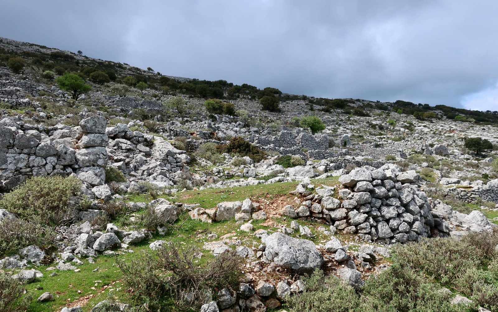
Just above Anogi village, there’s little but heaps of stone left of the old village of Palia Anogi. They give an idea of where there were once houses, walls, doorways. It’s another melted place, dug out of the soil, slowly folding its way back in.
A dotted black line on the Anavasi map heads from Palia Anogi towards the highest point of Ithaka (809m), then continues south along the ridge. We found no path, and nothing to suggest there has been one recently. It’s not difficult to get to the top over open terrain, except that at some point a wire fence that runs horizontally all the way along the slope will inevitably block the way. If you hike for long enough in Greece, at some point you’ll have to climb over one of these fences. Above all it’s important not to damage the fence, which may be there to keep animals in or out. It’s also a good idea not to become impaled on the inevitable rusty prongs along the top. It’s delicate and best avoided unless really necessary.
On the summit there’s the usual small concrete pillar to mark the point, and views in all directions: west across the narrow channel to Fiskardo on Kefalonia; southwest to Zakynthos; north to Lefkada and Meganisi; northeast, east and southeast to Kalamos, low-lying Kastos and the mountains of mainland Greece.
The highlands are treeless and windswept. Again, there’s no marked path along the top, but it’s easy to follow the curved ridge until, at a suitable point diving down towards the Katharon Monastery. Panoramic views over the southern half of the island, from Aetos port, past Vathy and Perachori, all the way to Skinos beach.
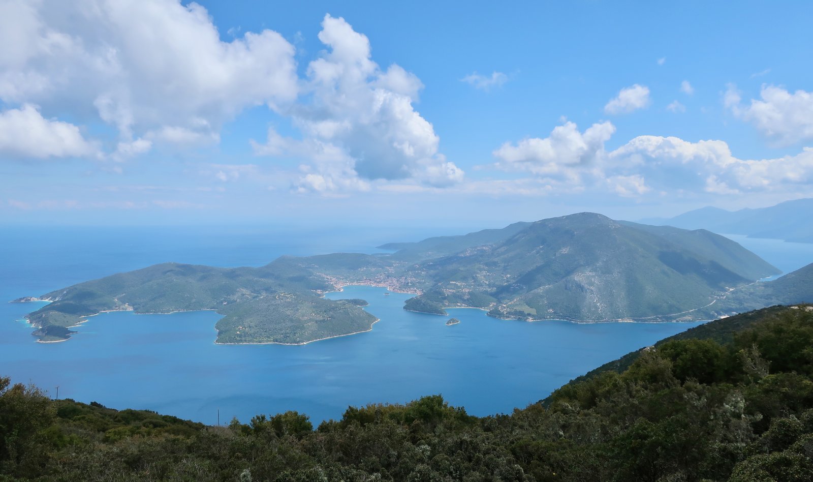
We lost our way at this point and wandered around for ten minutes in thick patches of bushy undergrowth and low trees until suddenly we stumbled across Trail 11, unmistakeable. It leads all the way back to Anogi and is easy to follow, marked again by intermittent blue and white stripes, and/or red dots in white circles.

This highland loop is probably the most dramatic path on Ithaka, and the most similar to other highland walks in the Aegean. (The photos were all taken in April. A few months later most of the green will have been scorched to pale brown.)
From Anogi, Trail 12 back to Kioni, downhill all the way. Much of it is paved, newly done, the second place on Ithaka after the path to Arethousa Spring where old an old stone-paved trail has been repaired. This is very, very unusual in the islands, slow and labour-intensive, just as it always was.
(N.B. – Leaving Kioni first thing in the morning, the trail passes in front of a house/outbuilding belonging to a goatherd apparently not happy to find himself on an official hiking path. Despite the fact that there’s a trail number virtually stuck to his building, he told us we were in the wrong place, that we had to go back and round. He was holding a snarling, snapping dog tightly on a short leash. We were reluctantly backing off, when a neighbour intervened. He said something to the effect of, Jesus Nikos, again? and shepherded us through.
After spending much of the day walking along the spine of the northern hills, we saw Nikos again. There are few goatherds left on Ithaka. He may be the only other person who still goes into the northern highlands. When he found out where we’d been, we were suddenly the best of friends. Over the next few days, whenever our paths crossed we were comrades to be waved at, called out to, our shared experience having taken precedence over our foreignness. The obvious pleasure of this older island generation, men and women, in the simple fact of our walking in their hills, on their paths, is something we come across again and again.)
HIKE 4
A day of mostly road and dirt track walking. From Kioni to Frikes, then along the eastern side of the northern peninsula to Marmakas. Trail 13. A deviation into the hills to have lunch at Ai Giannis Sta Spatharatra, then on the road all the way back – Trail 13 to Frikes and on to Kioni.
Approx 21 kilometres
There’s a nice, short section of footpath behind Mavronas beach, just across the hill north of Kioni, that cuts off a small part of the road walk to Frikes. Otherwise it’s tarmac as far as Frikes.
From Frikes, the dirt track around the northern peninsula up to Marmakas and back across the ridge of the central hills and down the other side, is not one of the great walks in the Greek islands. With hindsight, having later checked a satellite view of the peninsula, there’s another path, not mentioned by Anavasi, that we might have tried. It leaves the dirt track just past its most northerly point, and heads roughly east towards the ridge south of Karavoti peak (351m). It crosses the ridge then goes south along the steep almost-cliff at a height of between 250m and 300m, re-joining the road at the point where Trail 13 begins/finishes. On google this path looks possible, but google can be deceptive.
The trail up to Ai Giannis is nice, as is the church, slightly unusual in that the entrance door is halfway along one sidewall, not at the end. Bearded priest to the right. Congregation to the left. In such a way the space is made to look even more theatrical than usual.
From Ai Giannis we tried to follow the path that continues up and on past the church, marked at the onset with red-dots-on-stones. We were hoping to be able to go over the top and directly down to Frikes like explorers. But after a few dozen metres the path dies. The undergrowth is so dense and jagged that without at least a hint of path to part the vegetation, it’s impossible to get through. Very soon the level of leg-damage – if you’re wearing shorts, trouser-damage if not – becomes prohibitive.
HIKE 5
The road from Kioni to Frikes, then continuing straight on to Platreithias. Platreithias to Exogi on Trail (14 or 15, the map is unclear), passing by Odysseus’ palace. Trail 14A out of Exogi into the highlands. On to the monastery of Pernarakia – down to Rousano and Stavros. Back to Kioni on the road, or road as far as Trail 12A, then down to Kioni.
Approx 25 kilometres
The road walk from from Kioni to Platreithias, through Lachos and Limnes, is about six kilometres. The noble suitors for the hand of Penelope, who Odysseus massacred when he eventually found his way home ten years after the end of the Trojan war, may have been men and boys from these villages, or villages like them; goatherds, farmers, fishermen.
From Platreithias there’s a footpath, much of it old stone, that passes by Odysseus’ palace (see above) on the way to Exogi. I can’t remember if this is Trail 14 or 15, and the map is unclear.
Approaching or leaving the village, at distance Exogi looks almost glamorously alpine. Close up it’s an unremarkable Greek hill village that like so many others has faded as inland populations have drained either down to the coasts or further still to the mainland cities. Moving away from it again, the site comes back into focus, perched on the ridge of a ripple of the hill. The precise contours of it are almost invisible unless looking down, from distance. At the bottom end of the village there are old stone buildings in disrepair, abandoned suburbs that fade now into the dissolving terraces. Sweet-Exogi, Exogi as it might have been, as it perhaps once was, is a mirage that disappears when we come too close and reappears as soon as we move away to a point of proper perspective.
Trail 14A leads out of Exogi and climbs another 200 metres. At first it goes through woodland, mostly pine, then opens up into high scrubland. There’s a narrow path on the hilltop. The rigid branches of short kermes oak jag and stab below the knees. Without maintenance the path will soon disappear. Already it’s becoming difficult.
Along the ridge are the remains of at least two windmills, and then the tiny monastery of Panagia Eleousa, with panoramic views over Ithaka and out across to the top end of Kefalonia. There can have been barely enough accommodation for more than one or two spartan monks. No-one lives there now. (There are dozens of five star reviews on google for the monastery – incredible views, best place on Ithaka, unforgettable, and so on. The reason for all these reviews is that it’s possible to drive to the monastery. )
From behind the monastery/church the path leads downhill just under the right-hand side of the descending ridge towards Rousano, a small, grassy plateau, with terraces of olive trees leading down from there to Stavros.
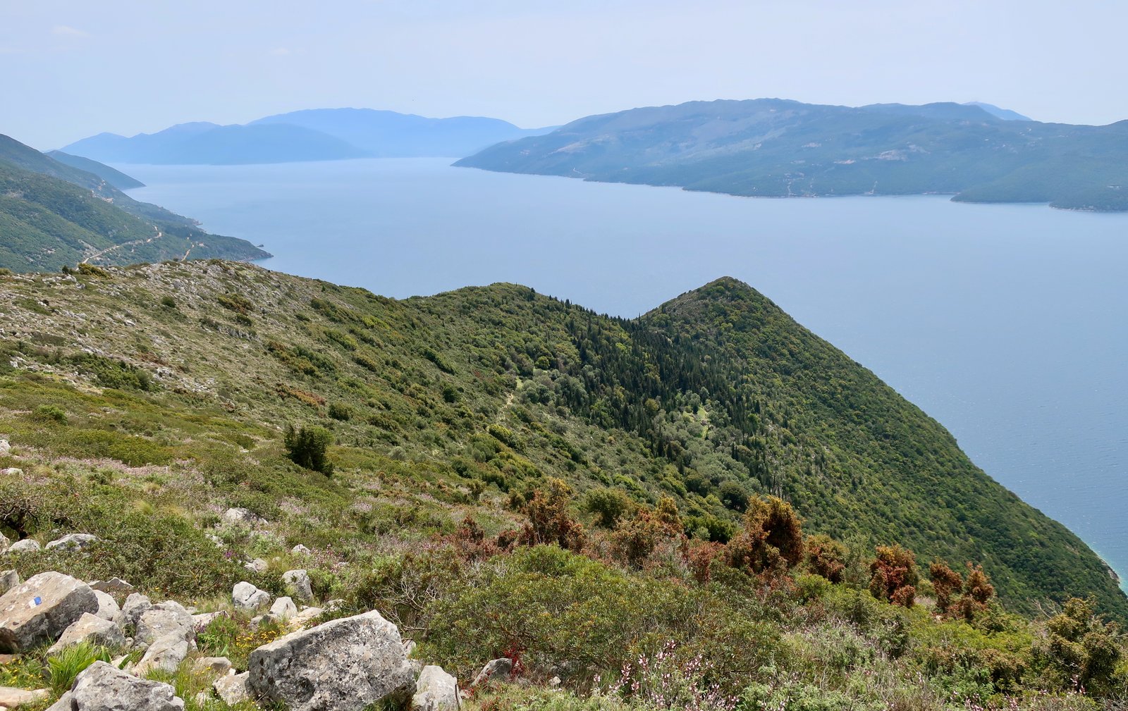
(There is also a trail marked on the Anavasi map as ‘faint’, that from Rousano doubles back to the north along the steep hillside. It’s clearly visible during much of the descent to Rousano. Checking later on Apple Maps, it appears to run all along these steep western slopes, to eventually climb back up to the ridge at approximately the point the path up from Exogi reaches the top from the other side.
The last part of the path from Rousano down to Stavros is a little confusing.
We didn’t do the 14B back to Exogi or the 15 out to Pefka.
Stavros in mid-April was more animated than Exogi, Anogi or even Frikes. Not actually animated. Just more than. A couple of open cafes with people sitting outside.
We did the return road-walk back to Frikes and Kioni, although it would be possible, given time and energy, to go the long way, on the main road towards Anogi, turning off to cut onto Trail 12A, re-joining it at Agios Nikolaos.
***