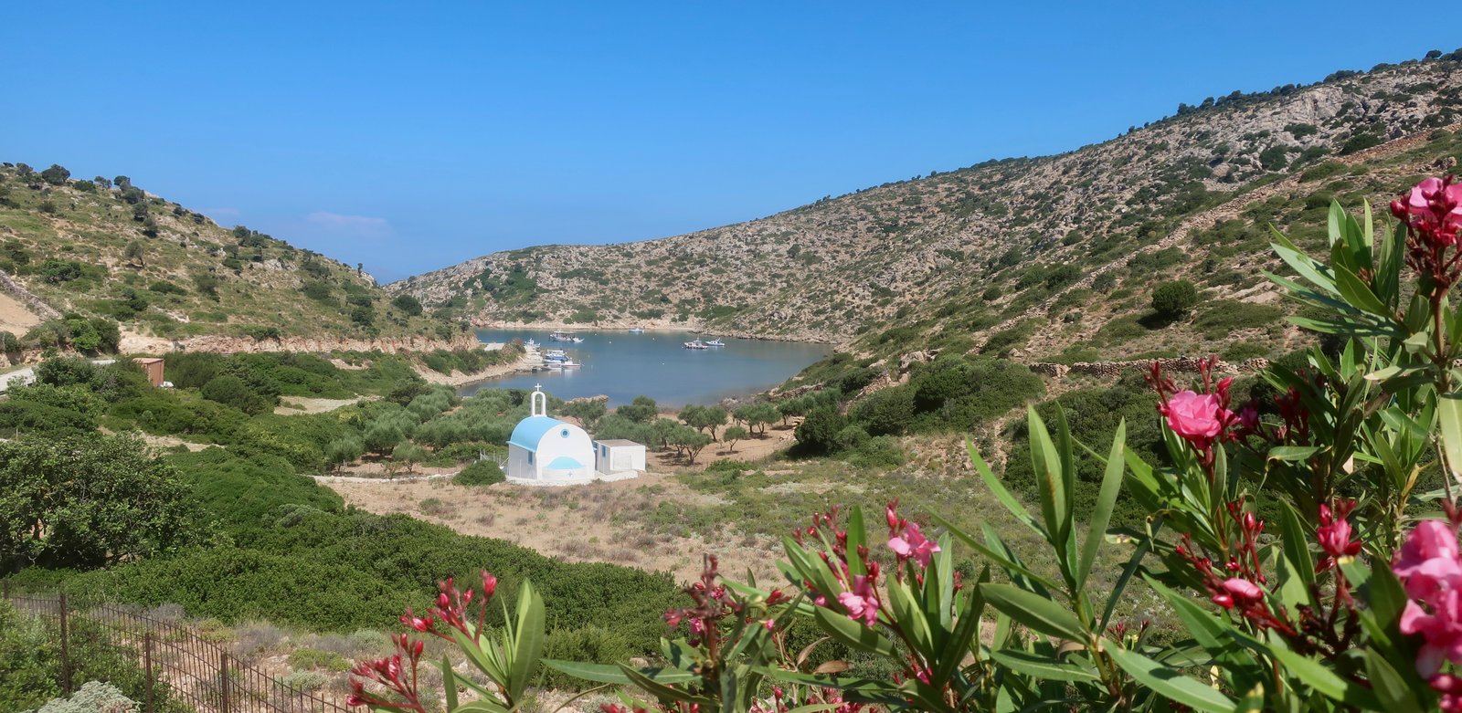
These days Lipsi bills itself as Homer’s Ogygia, where Odysseus took refuge after shipwreck and the loss of all his crew, where the beautiful nymph Calypso fell in love with him. She offered him eternal youth, immortality, and would have had him stay forever. But Odysseus pined for home. When Calypso refused to let him leave, other more powerful gods – Zeus and Athena – intervened to force her hand.
On Lipsi there’s a Calypso Hotel, a Calypso Café, a Calypso supermarket and a Kalypso restaurant. There may be more.
Unlike those islands whose link to the pseudo-historical past has some grounding in the web of ancient stories that are part of the inherited fabric of modern Greece, it seems the only reason Lipsi has been conflated with mythical Ogygia is the coincidental similarity between the words Calypso and Lipsi. That and a desire for a bit of low-key branding. Still, it works as well here as anywhere else. Lipsi, an island of lovely beaches and low undulations, is sweet enough to be the sort of mini-paradise evoked in the story, small enough, graspable enough, to make the transformation from geographical feature – island – to Calypso’s house and home, her private realm.
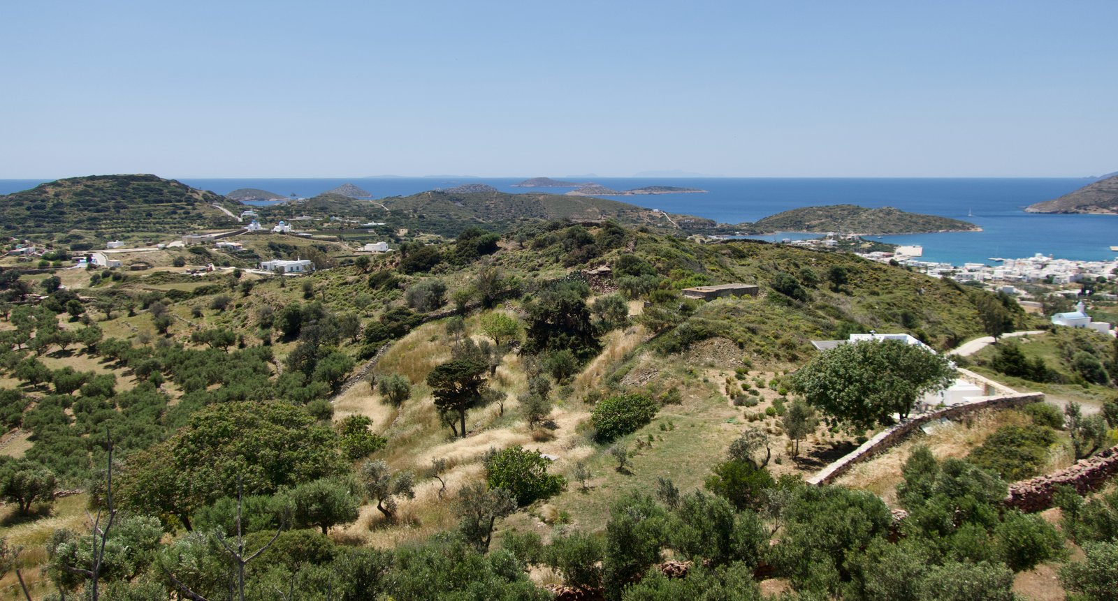
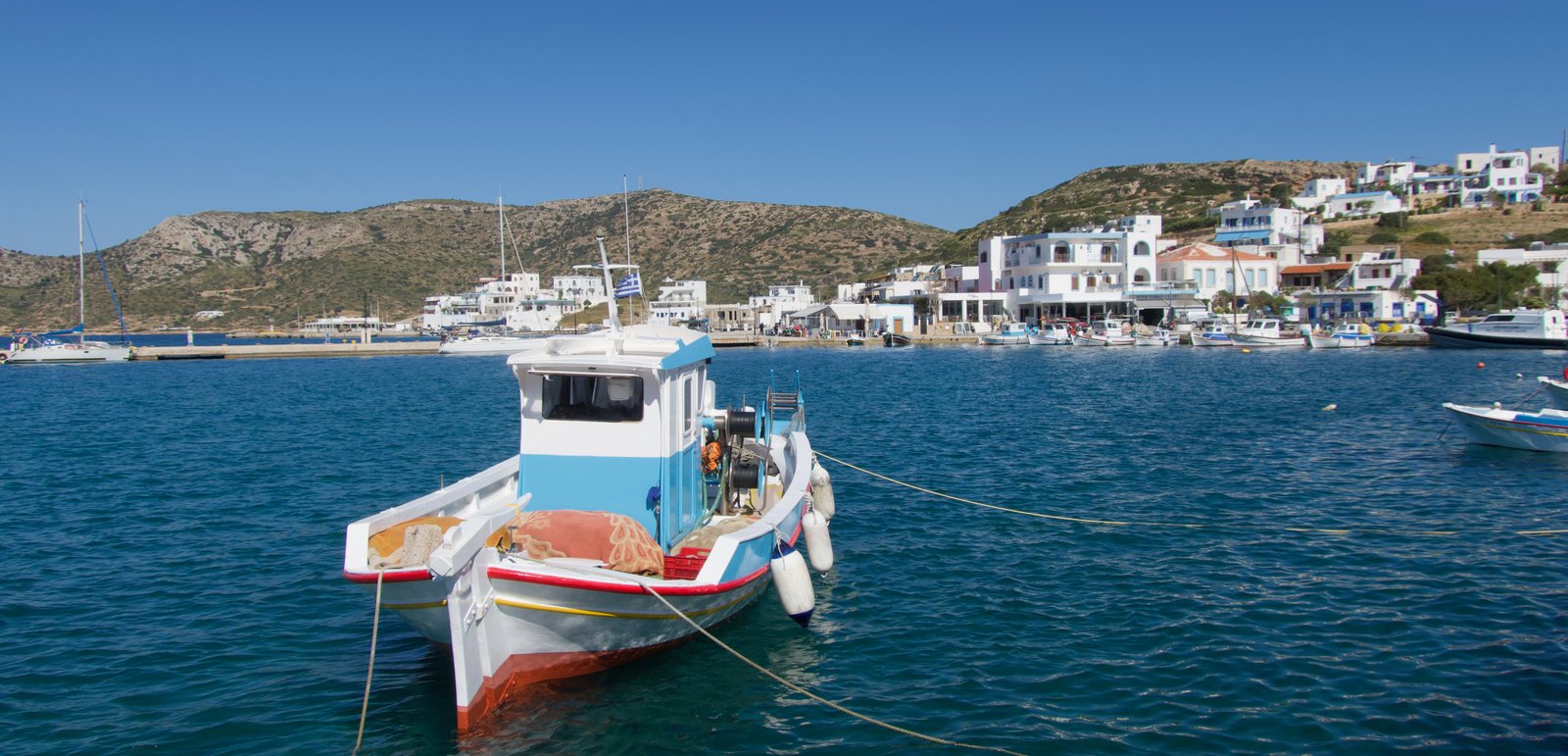
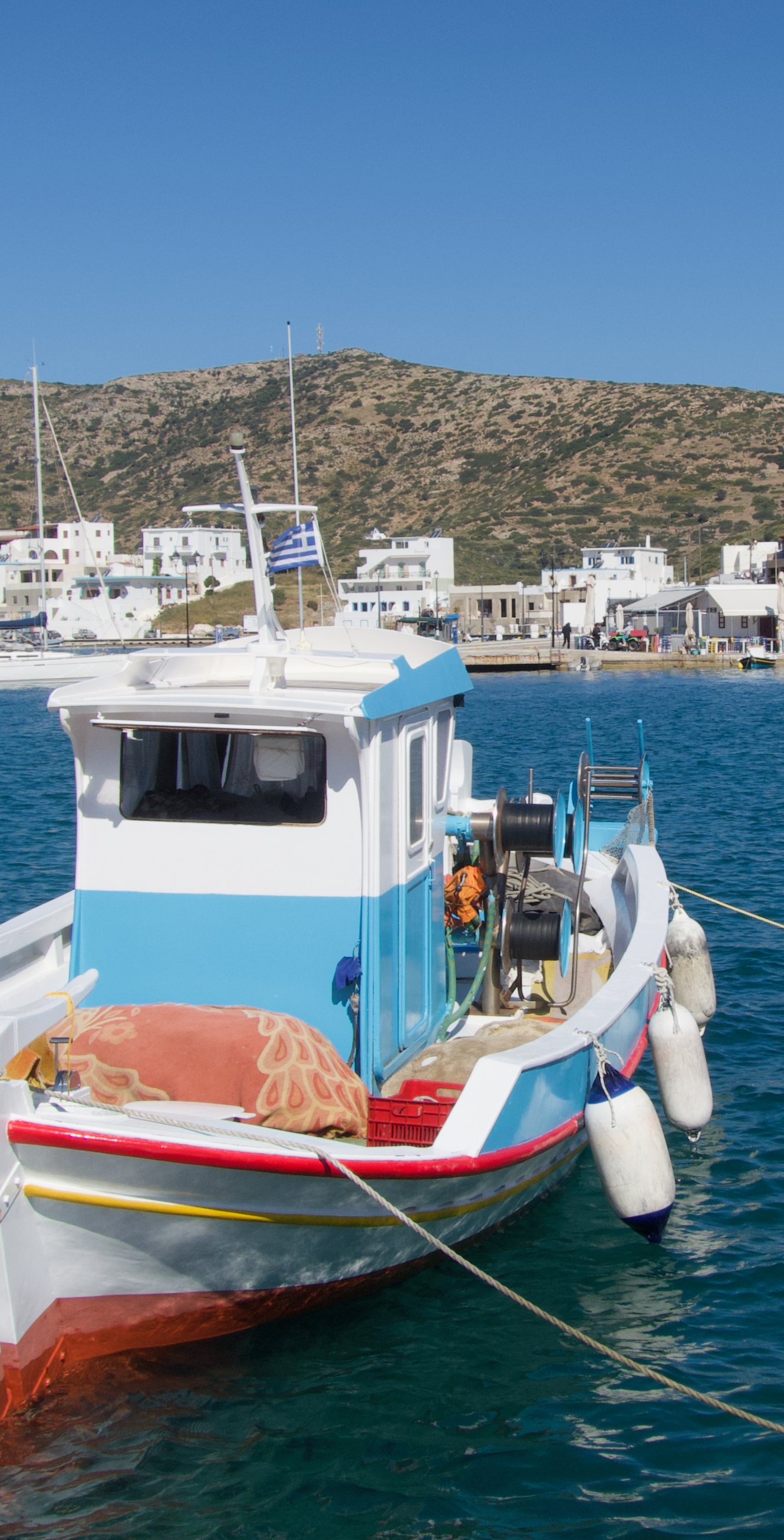
The port is the only real settlement. It has a large sheltered bay, some unfussy tourist infrastructure, the usual fishing boats. Elsewhere there’s a scattering of buildings. The municipality has opted for low-key tourism – no high-rise hotels, no sunbeds on the beaches.
We last visited in May 2026. There were three or four yachts and a smattering of tourists, mostly Italian. A fisherman’s radio was blaring from the dock as he sat crocheting his nets. There were a couple of bakers, one of them irresistibly old-style, with huge round loaves for the church, as big as millstones, slightly sweet, pungent with the smell of fennel. Plus a few open tavernas. But almost nothing pre-season in the way of tourist shops. It all felt charmingly 1970s. That is to say, a northern European idea of the 1970s, since here, as on many other islands, in the 1970s there were no tarmac roads, no facilities for visitors, and until 1971 no general electrification; the local population still relied on candle and oil lamp. For those who have never lived it, it’s hard to imagine the blackness, the meaningfulness of night. Such was the relative backwardness of Greece compared to most of western Europe, that it was only in the 1950s, with the founding of the Greek Public Power Corporation, that a full-scale national electrification programme was embarked upon, beginning with the mainland and the bigger islands. Lipsi had to wait.
Roughly 800 people live on Lipsi today. Small-scale, eco-tourism drives the mini economy. Plus a little fish farming and some niche agriculture – the production and export of local wine, cheese, honey.
Less than 8 kms from end to end, it’s a very walkable island. With this perhaps in mind, and as a natural corollary to its eco-alternative credentials, the municipality, in conjunction with the association Paths of Greece, has plans to create a waymarked hiking network of 9 or 10 paths, for a total of 55 kms. The idea is to make use of what remains in the way of paths, to re-define and expand them. Finished, they will cover most parts of the island.
As elsewhere, the high season is short. Around the east coast in May or early June you can be pretty much sure of finding your own private beach or bay. There are many to choose from, from Kouloura in the southeast around past Kamares and on to the rocky northeast coast – sand, pebble, rock, cove, clothes or not. Some are accessible only on foot. One or two will have facilities in season. The best known beach on the island, the most nymph-like, is Platis Gialos, in the north west.
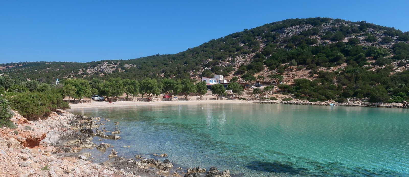
In early June even on the town beach of Lientou – no bar, no taverna, although only a hop and a skip from the port – there was only one other swimmer. He went out just before us, pumping his arms for all he was worth across the bay, then on into the next one, Kampos, and further still ploughing out along the coast. When he got back to the beach he strode through the shallow, unswimmable, last thirty metres like some minor deity, all muscle and sinew, curved shoulders, puffing.
HIKING

We kept thinking we were going to get a day off, (a day without hiking). We love hiking more than anything and still always look forward to the great, light-filled stretch of a Greek island day with nothing planned.
It didn’t turn out like that though. Having done all the trails, we then spotted the map of the island on a notice board in the port, saw its dotting of paths, and in particular a hypothetical path around the northeast coast not mentioned elsewhere. Next, online we discovered the planned hiking network, and began to investigate that too. (The following absurdly long and complicated link contains a map of the planned new hiking routes. The text is in Greek. https://kalymnos-news.gr/2025/11/%ce%bb%ce%b5%ce%b9%cf%88%ce%bf%ce%af-%ce%be%ce%b5%ce%ba%ce%af%ce%bd%ce%b7%cf%83%ce%b5-%cf%84%ce%bf-%ce%bc%ce%b5%ce%b3%ce%ac%ce%bb%ce%bf-%ce%ad%cf%81%ce%b3%ce%bf-%ce%b3%ce%b9%ce%b1-%cf%84%ce%b7%ce%bd/#google_vignette). The paper map we were using, a Terrain Map from 2009 that also includes Arkoi and Agathonisi, had none of this.
The new network does not yet exist. It is possible that Lipsi will join a number of other islands whose plans for new hiking routes have stalled. However, given the forward-thinking administration and what they’ve done so far in managing a certain version of tourism, developing eco-agriculture, containing the always problematic question of waste with an effective recycling program, why not believe that Lipsi will soon have its full hiking network? If so, 55kms of paths for an island the size of Lipsi would be something.
We did four hikes, roughly 65kms, more than the proposed 55 kms although we didn’t do everything that’s planned and there was a certain amount of duplication in what we did do. Because of the size of Lipsi, it is particularly easy to pick and choose – to do shorter hikes, to combine them in different ways.
Use the noticeboard. Get full details of the new network, if possible. Keep an eye out for an updated Terrain or Anavasi hiking map.
Of the two hikes below, the second, around-the-east-coast, is exactly what we did one day. The first is a logical patching together of what might be done, a splicing together of two separate hikes we did.
HIKE 1
Due north out of Lipsi port. Across the main road. Past Casa Mimosa (see google maps), down onto the coast. (This is the starting point for both Hikes, 1 and 2.) West along the coast – this trail is dotted on the old Terrain Map – until rejoining the main road. Find the continuation of the trail, marked on the noticeboard or google maps, at a 3-way road junction. Follow this until it hits a small church, then continue on dirt track for 400 metres until the road. Turn left downhill, then soon after turn right onto an old track. Continue to Kimisi Pano church, then down to Kimisi Kato church on a new stone-paved path. Around the coast home to the port.
A little over 20 kms
This is the best hike on the island.
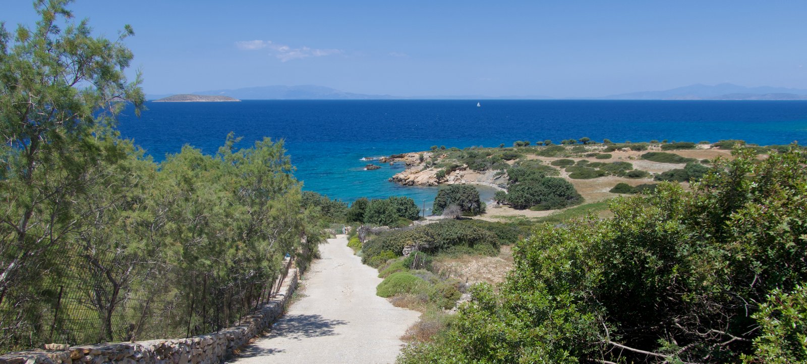
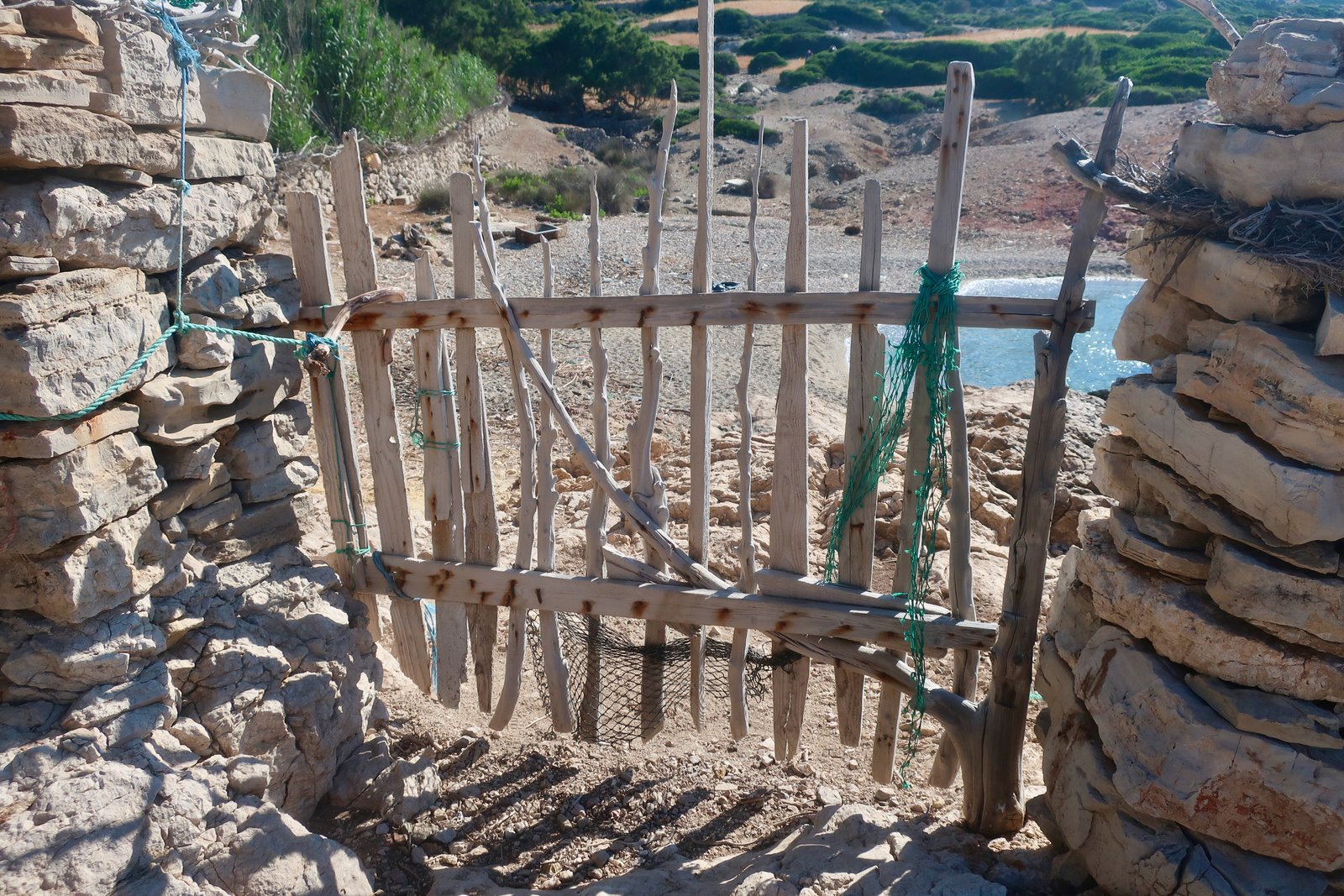
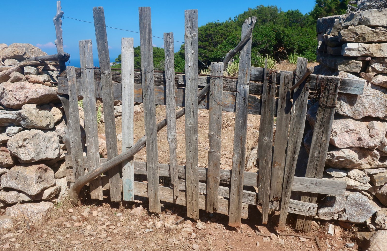
The path west along the coast from a starting-point in the small beach and bay just past Casa Mimosa is sometimes a trail, sometimes a pathless coastal walk. There are four or five rustic gates to pass through along the way and many places to swim. It comes out onto the main road along the north coast.

On the 2009 Terrain Map a trail is marked leaving the main north coast road at a point just over 1 km short of Platis Gialos beach. This is no longer a trail, but a new, neat tarmac road up into the hills, on down to the south coast and the church of Kato Kimisi. It’s not interesting. The trail marked on the noticeboard in the port is a real old path and much, much nicer.
Use the map or google to find the 3-way junction, from where the trail departs. (After the walk along the north coast, you’ll probably have hit the road too far to the west, and have to turn left, doubling back in direction of the port for 500m-600m.
The path climbs at first over open hillsides, then into a highland low juniper forest, with views north towards the little cluster of islands of which Arkoi is the biggest. Samos looms in the distance behind.
Among the junipers a whole swarm of bees went across the path in front of us, the only time we’ve ever had this happen. We heard them first, like an engine. Then were almost hit by a fast-moving, blurred, dark brown cloud.

This trail comes out at a small church. From there a dirt track about 400 metres long leads to the watershed-point of the new tarmac road that traverses the island north/south. Head briefly south down the road. After 200 metres, on the sharp point of a hairpin bend, the old trail to Pano Kimisi church dives off to the right, traversing the slope.

This is a classic Greek island hill path, between 100m and 200m above the water. After no more than 1.5 kms it reaches the remote little church of Pano Kimisi, planted on the rocky hillside about 100 metres above the sea.

The return path takes a lower route down to Kimisi bay and Kato Kimisi church. In the past this must have been the main linking path between the two churches and has recently been re-surfaced. It’s crazy paving all the way now, but the route of the path has not changed, the hillsides are the same, the feeling of remoteness, even on such a small island, has hardly been disturbed.
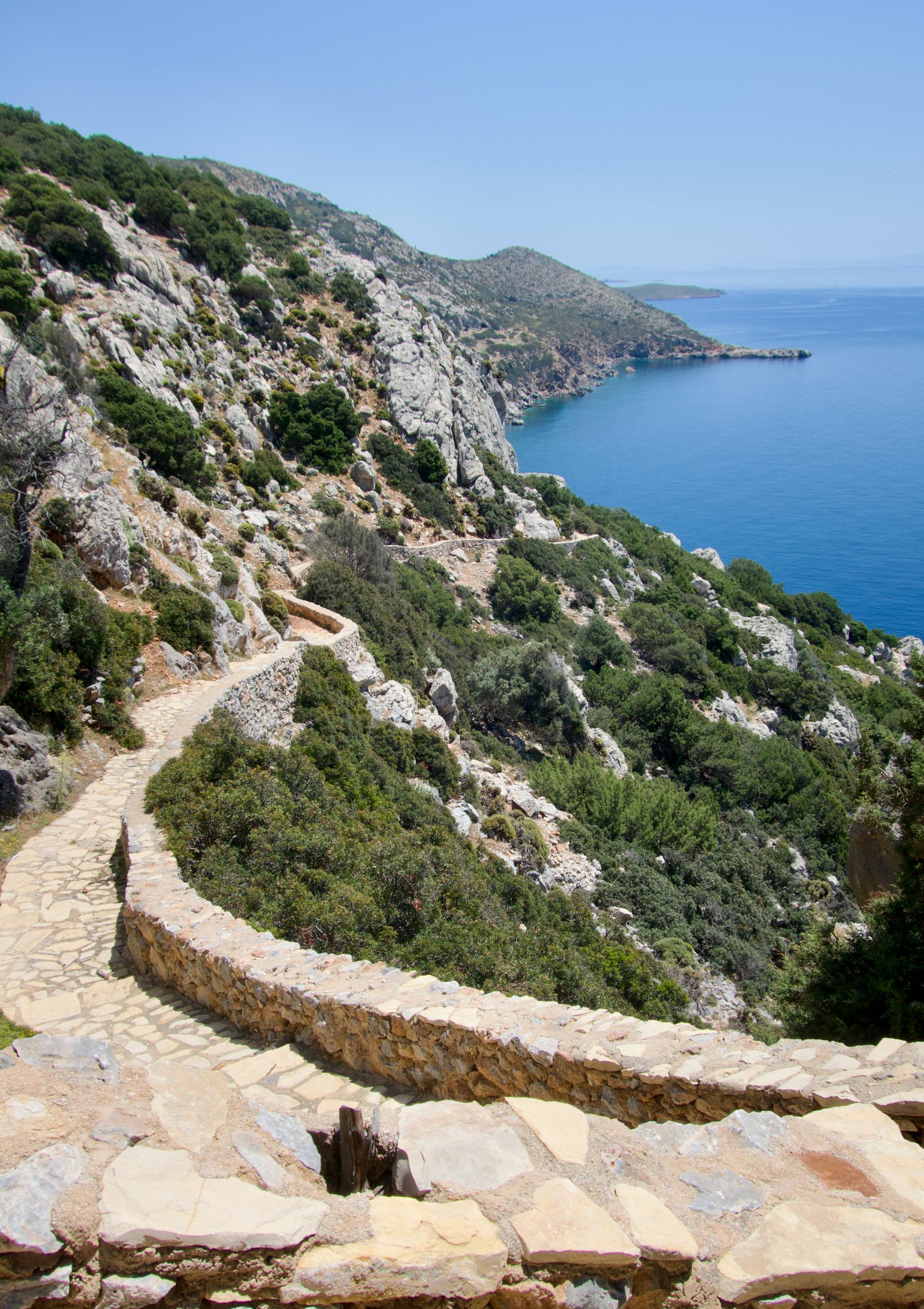
From Kato Kimisi, as per the noticeboard map in the port, a fun, easy-to-follow trail leads all the way around the coast to Eleni beach, from where it’s a stroll along the bay and into town.
HIKE 2
Same starting point on the mid-north coast as for Hike 1 (above). East, then south, staying as close to the coast as possible, as far as Xerokambos beach. Any way back to the port is good. We went via the Kastro, the hilltop on which are the remains (minimal) of an ancient Acropolis.
Roughly 13kms
Although the planned new hiking route that will lead out to Kamares Beach, near the northeast tip of the island, avoids the coast, we chose to trust the municipal noticeboard in the port. (See photo at beginning of hiking section.) According to the noticeboard, beginning on the north coast just past Casa Mimosa, it’s possible to walk all the way around the coast as far as Xerokambos. We tried, and it is.
For most of the first half as far as Kamares, there is no actual path. It’s just a question of following as close to the coast as possible, and making your own. There are a couple of agricultural gates to pass through, and one very slightly tricky point near the beginning where, just after passing through one gate, it’s necessary almost immediately to pass through another on the left, three or four metres above the water. Otherwise you come to a fence with no apparent way through, realise you’ve gone wrong, go back a few dozen metres and try again.
The path after Kamares is followable, and clear. There are even a couple of signs (‘To the village’, etc) and some cairns.
Arriving at Xerokambos, 25 degrees, flatcalm transparent water, there were just two people on the beach. Ohh, i bravi, said the man, Italian, seeing us with rucksacks, their car parked up in the gravelly dirt behind.
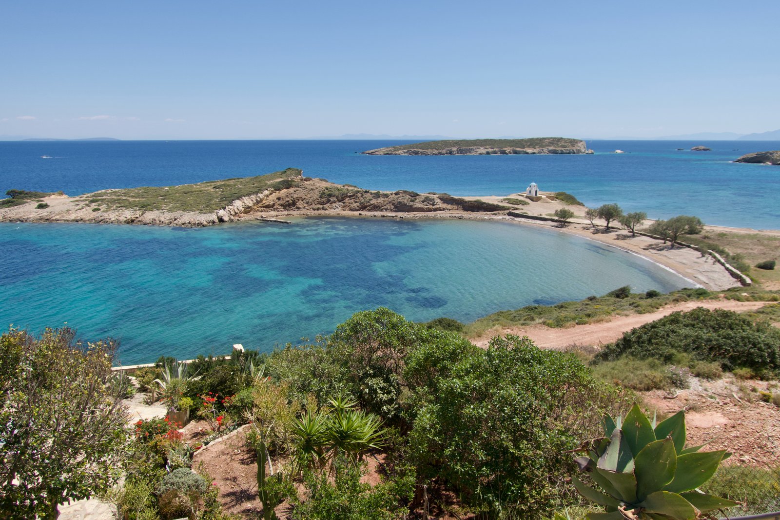
From Xerokambos we went inland towards the port, up the old hill of the Acropolis. There is almost nothing left of the classical city. Without prior knowledge it would be easy to miss the significance of the small piles of stone, even when standing right on top of them.
OTHERS
1 – For those pressed for time, or full of energy, it would be possible to do in one hike almost everything on Lipsi – as things stand, without the opening up of the new network:
– Beginning in the port, do Hike 2 in reverse, followed by Hike 1 back to the port. Perhaps 30 kms total, but most of it is flat, the high-point no more than 200 metres.
2 – In the new network there will be 3 paths roughly north and south of Moschato Bay in the far northwest. They don’t yet exist. Moschato Bay is a picturesque shelter for half a dozen fishing boats. Some online comments have suggested there is a fish farm here (which we didn’t see), and that because of this the swimming is not good. It’s an easy road-walk – less than 2 kms – from Platis Gialos beach.