
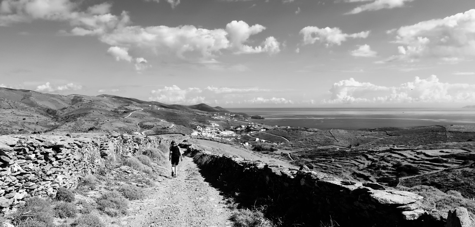
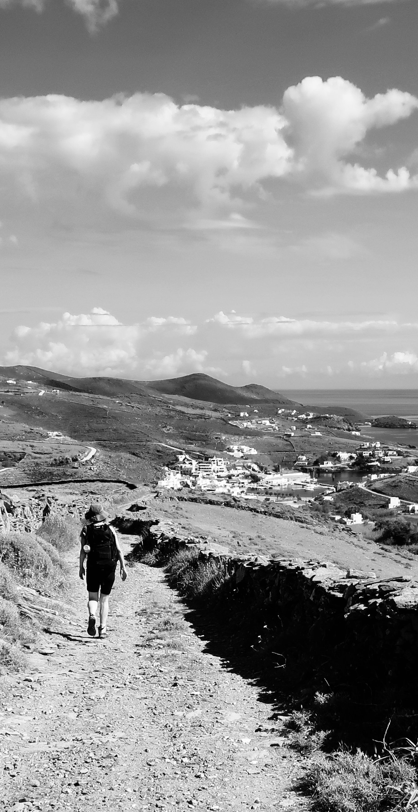
In the line of three islands that are stepping stones away from Cape Sounion and the tip of the Attic peninsula, Kythnos is in the middle. Kea – Kythnos – Serifos. Sifnos is almost a fourth. But no. It’s not the little dink at the end of the line that separates it, it’s the way we come at it and where we head to when we leave. If you spend so much time looking at maps of and travelling between Greek islands, you end up inventing neighbourhoods. In part it’s the simple visualisation of geographical position, but in part also the logic of movement – how to get from one island to the next and in which order.
Being part of an island neighbourhood doesn’t necessarily imply further similarity. Before going to the islands, we might have imagined otherwise. The more islands we see, the more their differences impose themselves. When it comes to choosing which one to go to, whether it’s for hiking, the beach, or some other reason, it really does make a difference. Not that, in most cases, you won’t have just as good a time. Just that it won’t be the same good time.
***
If you’ve travelled much in the Aegean, Kythnos is a comparatively gentle island of low, rolling hills. The high-point is only about three hundred and fifty metres. There are no great gorges, no monasteries clamped to mountain peaks. If you don’t know Greek islands however, the cliffs and crags of them, don’t have the idea of other islands against which to measure Kythnos, then you might see it more clearly as a rugged mass of wrinkles and furrows, a rough central spine from which dozens of valleys branch off down towards east and west coasts, a stripped-bare place on which there are few trees, almost nothing is flat and ancient stone paths crisscross the land.
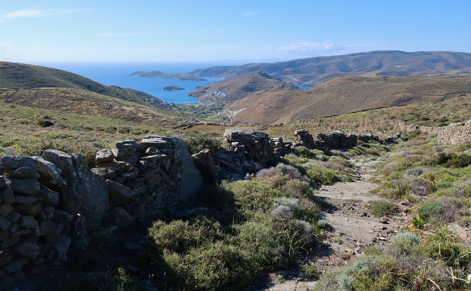
We’ve been twice, once in March and once in April. On both occasions, approaching by boat, the sky a cloudless blue, green was the first impression. Had it been raining when we arrived, or overcast, had a storm been whipping down from the north, had we come at the end of a scorching summer when all the islands are brown and gasping, for us a slightly different Kythnos would exist. All island visits are in part weather-specific, season-specific. There’s no way round this. The overwhelming majority of people who go to Greece never consider such things. There is only one summer model.
Kythnos is also an island of small, white churches – all sources give a different number, a brief googling yields answers of between one and four hundred – and even for a Greek island is a snaggle-toothed thing. Because of the extremely serrated nature of the coastline, there are endless bays and beaches, most of them small, most with salient headlands either side. Many are accessible only on foot, if at all.
A very large percentage of the island is/was terraced. From many vantage points it seems that the whole thing has been taken and scored with a giant comb-toothed tool. Historical terracing is a beautiful, artful scarification. Because there are very few trees, terracing renders the contours of the land more visible. Depending on the time of day, sunshine makes varying thicknesses of light and shade on the lines of the terraces. It makes a sort of hyper 3D.

Here, as is often the case, the more terraces there are, the more old trails too to move between them, marked typically by parallel stone walls, the stone paths between them. They wander curvingly across the land, the precise visualisation of the routes people used to take around the island. Standing on a hilltop almost anywhere on Kythnos the land is scored by walls and paths and threshing circles, as if it has been drawn on.

The people who were able to interpret these signs, this language, who could fluently read the land and understand from it the type of soil, the crops, the animals, the seasons, glut or famine, are mostly gone now. We, with our different cultural, social, historical roots, have never known. We walk around half-blindly, making presumptions, half-cocked interpretations, skimming over the lovely surface of things.
***
Roughly fifteen hundred people live on the island all year round, enough to make several good-sized settlements:
– The Chora is pretty, characteristically white Cycladean, built on roughly level land in the centre of the island, with streets too narrow and twisting for motor vehicles. In season it has a number of restaurants, cafes, shops, churches.
– Dryopida, a little to the south, is also pretty and white, but not Cycladean – the houses have red-tiled pitched rooves. It nestles in a hollow between hills hidden away from the coasts, and has a cluster of seasonal tavernas, cafes, shops. (The name comes from the Dryopes, a pre-Hellenic tribe believed to have been early inhabitants of the island. The Hellenes are not autochthonic, they were perhaps from some north or other.)
– Loutra in the northwest was a thriving thermal resort in the second half of the nineteenth and early twentieth century, a time when thermal resorts were the thing all over Greece. These days the old baths are closed. A thin channel of steaming water runs to one side of the beach along a narrow conduit whose sides glisten with iron-sludge. At the beach some rocks have been gathered to make a small, cloudy pool into which the steam-water feeds. Within it at most ten or so adults can congregate, unable to do anything but sit or half-lie in the shallow water, heads and toes exposed as they’re washed by the ice-cream sundae swirling of cold and hot water.
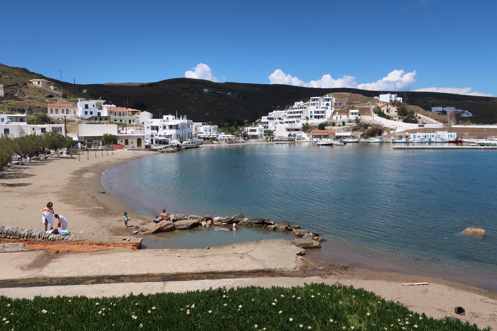
– Merichas, the port, has developed only since the 1970s. Until 1974, when a jetty was built at which passenger ferries could dock, hardly anyone came to Kythnos. Nowadays, because it’s close to the mainland, the island is popular with Greek tourists. On our first visit we spent our last whole day in Merichas, waiting for the ferry, which had been delayed because of the wind. It was the third week of March and cold. It seemed an unwelcoming place. Our second trip was a few weeks and several years later and coincided with Orthodox Easter. The ferry sailed in over a flat calm sea with the sun shining brilliantly. The terraces of the waterfront cafes were all full. Merichas was barely recognisable. (On the Wikipedia Kythnos page, in an odd Wiki-quirk, a particular couple are named as the first permanent inhabitants of the port, as if legendary founders who after a perilous journey strode up through the breakers onto this far shore.)
Mostly constructed around the better beaches, there are at least half a dozen other settlements on the coast that even away from the season appear to be animate. Some have a small amount of new-build accommodation, most a taverna and café or two.

All will have feast-days for their local saints, and Easter, and Christmas, and particular moments of coming-together during the long off-season. But wherever they are, despite these older rhythms, there will be the new weighting of the year around a short, frantic summer. Sometimes it seems that Greek islanders must be like insomniacs, people whose routines – routines settled into through countless generations – have been disturbed, who toss and turn now, having to adapt so quickly to the uncompromising structure of their new world.
HIKING
Kythnos is about twenty kilometres long by an average five or six wide. From a base in Merichas, or the Chora, or Dryopida, and without need of rental car, motorbike, taxi or public transport, all trails can reasonably be done. In this sense, Kythnos is easy.
There are many old stone paths, a great majority running between parallel stone walls. Some of them are not maintained and are becoming impassable, their channels invaded by Mediterranean phrygana, spikes and low bushes. The waymarking is desultory. Where paths are signed, there’s typically no correspondence between map – Terrain Map in our case – and old path numbers.
And still, overall the hiking is great in its own particular way of up and down two hundred and fifty or three hundred metres instead of the six hundred, nine hundred, twelve hundred of other islands. Kythnos is another lovely variation on a theme. If you want to hike a classic Greek island with classic paths and villages and coastline, but don’t want to climb mountains, Kythnos is for you. If you’re open to anything as long as it’s good, Kythnos is also for you.
HIKE 1
From the Chora west to the coastal settlement of Agios Ioannis. Agios Ioannis to Agios Stephanos. Back up to near the Chora on paths with numbers that change according to whether you’re looking at the newer Terrain Map, or the older Terrain Map, or the sporadic markers on the island itself. From there down to Episkopi, Vryokastro and into Merichas. Taxi, for us, back to the Chora.
About 20 kilometres
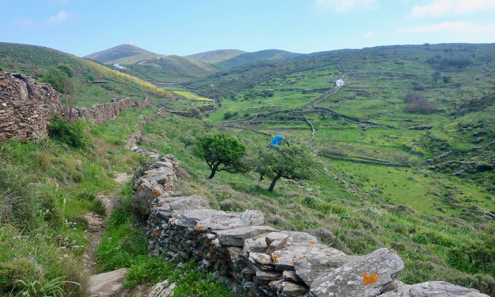
If you hike regularly in the islands, however well you think you’ve planned, sooner or later you will have a day you remember above all for the fact of being lost. We’ve had a few. This was one.
We were lost even before we left the Chora, trying to find path 12 on the Terrain Map, path 4 on the internet’s old Terrain Map. Two builders with clearly no idea about a path to Agios Ioannis, whatever its number, gave us directions. Fifteen minutes later they seemed pleased to see us again, heading the other way.
We thought we were lost until a very lovely, very small, old woman on the edge of the village smiled and pointed at the wooden sign-board just behind us, which had a picture of a hiker and said Agia Ioannis.
Ten minutes later we were lost when another very friendly woman marvelled at the very idea of walking to Agia Ioannis, Einai makria, she said, It’s far. A couple of kilometres later I don’t know how we found ourselves on the wrong side of a house and garden and dog, with there, just on the other side, unattainable, the path we wanted. Back down the road we trudged, despite the fact that this road went the wrong way, then partially the wrong way. Around and up and round again before getting to the other side of the dog-garden, a detour of a couple of kilometres for fifty metres straight-line distance.
We weren’t lost when on a hilltop half an hour later we met a very old man on a donkey who wanted to talk and talk as we sat on the stone wall on the edge of the path, captive, so to speak, since we’ve learned that when animals are approaching, any animal, the best thing to do is stop moving and wait, so as not to spook them. (We had finally, definitively, learned this lesson three days previously on Kea. A young man was coming towards us up the lane driving a cow ahead of him with a thin twig, with which from time to time he was administering a flick of encouragement to the cow’s flank. We continued walking towards them, albeit slowly. The cow, despite our discretion, didn’t like the look of us and suddenly bolted. It scrambled in ungainly fashion over a stone wall and galloped across a field of daisies, the young man in pursuit. Sorrrrrry, I called. He waved back, It doesn’t matter, he said, Have a good day, which really was beyond nice of him.)
The donkey-man parked his animal just in front of us, its furry ribs within touching distance, and talked. Most of it was very difficult to understand, but he did insist we not go left for Agia Ioannis. So when eventually he allowed us to continue, giving a light sidesaddle prod to spur himself on, and when, within one hundred metres we reached the significant junction we had been expecting, we confidently went right. Soon afterwards the path disappeared into classic, dense, spiky undergrowth, with here, because of springtime, the addition of a smattering of asphodels, whitish tall flowers that lend their name to the Fields of Asphodel in Hades, the place to which ordinary souls are sent. Perhaps he had been saying, Go left at the junction, at all costs go left because the right-hand path fades into fields of asphodel. In the moment though, because we were in a mood of we’ve come this far, we should persist, perhaps it’ll get better soon, for some time, before eventually turning back, we made very, very slow progress, adding scratches to the layers of scratches on layers of scratches on our legs.
On the way back from Agia Stephanos we got lost again. We now think this time we should have turned left. Instead we continued on because the signing of paths on Kythnos, of this path, this day, was terrible, impossible. (I’ve found on the internet someone else who did this trail, just as we did, and speaks very highly of it – he’s right, it is lovely, all the way – but with no mention at all of confusion. So it may just have been us. We do have more or less efficient hiking days.) Again we had to go cross-country, again we had to high step around spikes and weave through asphodel among the souls of the ordinary dead before getting back on the path.
Then, having turned left off path 13/path 5, heading for Agios Tryfonas, (Trail 6B on one of the maps), in the direction of Episkopi and Vryokastro on the opposite coast, having found ourselves and lost ourselves on several further occasions, we ran into another old farmer. Path number 6? I asked halfheartedly, really just for something to say. Amazingly, he knew exactly what we should do. He pointed up at the ridge the other side of the valley, parallel to which we were walking. It turned out we were not on the right path, (lost again), although this time we hadn’t yet realised it. The farmer, when eventually he allowed us to depart – and this was a problem because his words were like glue, the flow of them binding us to the spot – sent us back the way we had come, left at the previous junction, up the hill, left again onto the ridge-path, and miles along it towards Vryokastro. For the first half hour of this we remained in view of the farmer, who had sat himself on a wall and was enjoying the sport of watching us while calling out incomprehensible long-distance instructions and encouragements.
HIKE 2
Merichas (the port) to Flambouria. Flambouria to Panagia Kanala on the opposite coast. Panagia Kanala to Kalo Livadi. Kalo Livadi to Dryopida, then back to the port.
22/23 kilometres
The road out of Merichas towards Flambouria, old Trail 9, soon turns into wide track. We took a small diversion to Agios Georgios just outside Merichas, a small white church on a knoll with a walled path leading towards it. Instead of a paved surface, the path-between-walls was newly-cut grass. It seemed a processional way along which a bride in a white dress might come one summer’s day, the wedding party gathered on the terraced knoll around the church. We could almost see them. We could almost hear the music.
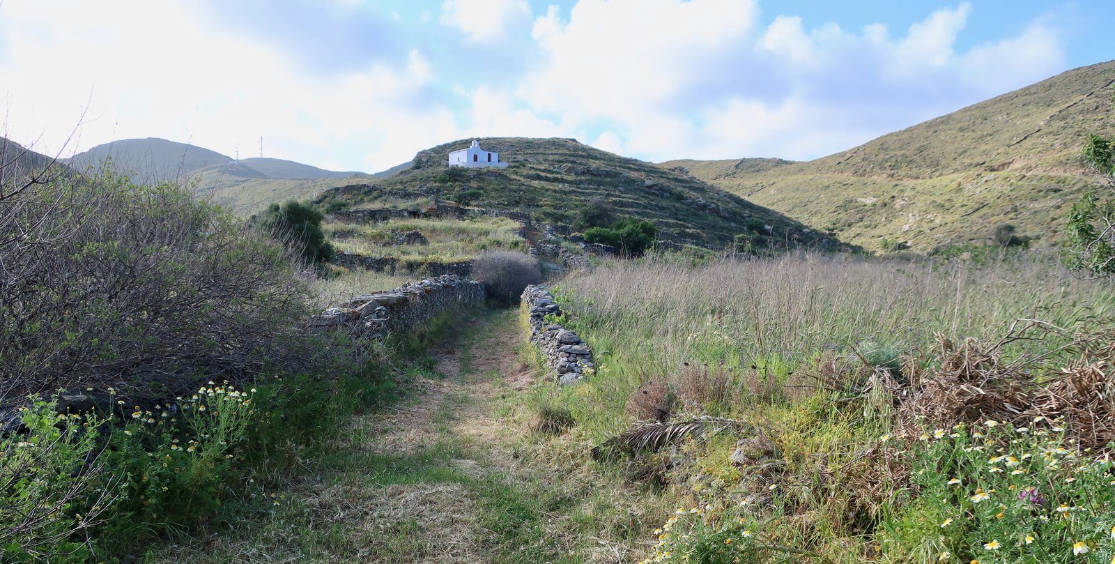
Inside too, the church was a place for celebrations and feasts, with bottles of wine, just sitting there, that no casual visitor would ever dream of touching. A garden-church, a family-church, with framed photos of the stern-faced matriarch and patriarch – a knotted headscarf, a thin moustache, jacket and tie, both of them unbending, both of them drained of colour now, having been transformed into austere history.
Soon after the church the trail to Flambouria cuts off to the right, again between walls. It’s still just possible to thread a way along this path between invading clumps of spikes. The path, the whole hillside, hillsides all over the Greek islands, are like blotting paper that has been seeded by these swelling balls of spiny spurge. Before long they begin to blend into each other. The gaps between them close up. You have to be there, to have tried to get through, to understand how difficult it can be.

Flambouria is a small agricultural community on the coast; a few houses, a double beach with a church on a promontory in the middle. At Easter we could smell the cloud of incense around the church from halfway across the beach.
The Trail marked 4 sets off as a wide track up the narrow ridge directly behind the church. When the track disappears it does a little corner dink, back and forth, then becomes trail proper, a channel full of spring wildflowers that goes left down into a fold between hills and on the other side is soon transformed into a beautiful stone-laid ribbon, back and forth up the rounded back of the hill to eventually come out near Agios Konstantinos on the spine of the island. The edge-stones of the old path, flat-laid like cards, are most of what’s left. You walk on these glorious kerbstones.
Looking back at the hillside just behind, the terraces are fading, so that instead of being long lines of neat scars, they’re changing into short confused waves, curving up, curving down, slipping at diagonal over two or three levels. The natural movement of the land is taking over, reasserting itself bit by bit.
From Agios Konstantinos we went about a kilometre south on the main road, then turned left on a dirt track marked Vathisthea on the map. From here there are some unnumbered, unmarked dotted tracks leading downhill roughly in the direction of Panagia Kavala. At several junctions there is a choice between overgrown path one way and overgrown path the other. There are sections where the channel between the path walls is impossible, the only solution to hop out and wade through the old agricultural land to left or right. Where recently cereals have been growing, wild, self-seeded barley has slowed the invasion of burnet and spurge.

For much of the descent, the land on the right-hand-side of the path is passable, although the individual seeds of barley-head are like tiny, incredibly irritating arrows that somehow fire into socks and ankles. On the left the spike-colonisation is complete.
Panagia Kanala is a nice coastal village with a permanent population of several hundred and at least a couple of tavernas. The bay (and beach) it has grown around, like most bays (and beaches) on Kythnos, is deep and sheltered. The church on the end of the promontory houses yet another miraculous icon, discovered by fishermen in the waters around Kythnos. The sea-bed of the Aegean is littered with magical icons, each of them carrying the imprint of the church or monastery that will one day be built around it.
The first part of Trail 2 on the Terrain map leading up away from Andonides Beach, next to Panagia Kanala, where a row of beach-benches are being swallowed up by heavy, flat, beach-pebbles, is overgrown, but passable. The second section, down to Kalo Livadi from the dirt track, is overgrown and not. Getting through is a serious challenge, in and out of the channel, oh so carefully balancing on walls, ducking, wide-stepping. Very very difficult.

The continuation of path 2, that leads back up to the spine of the island and Dryopida is also overgrown, but not so badly. For most of the way stone walls bound both sides of the path. So ubiquitous are they here, these hollow ways, that it’s easy to forget that not every path on every island is like this.
Halfway to Dryopida, the church of Panagia stou Mathia sits in a damp, shady spot. It almost encroaches on the path, seeming to force the path to divert around it. In a number of places on the island there is this local specificity of churches that have been built actually on the path. Or, since we have no idea what came first, of paths that have been constructed to skim so close alongside a church that they touch it. The church becomes not a diversion off, but a stop on the path itself, an unignorable staging point.

Coming into Dryopida, settled in a hollow between hills in the high middle of the island, defenceless but invisible from the coast, the trail turns into a classic wide, stone highway. Dryopida doesn’t have quite the style of the Chora, which is developing something of the panache of Apollonia/Artemonas on Sifnos, but it’s a very sweet village.
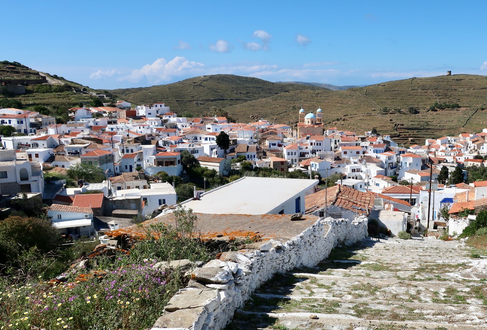
Trail 9 leads back down to Merichas, and is not overgrown in the same way as most paths on this hike. A wonderful panoramic view of Episkopi, Vryokastro, the rucked northwest coast.
Halfway down, where the trail turns into a wide track, we diverted left on visible trails between parallel walls, again, to go over the hill of Petrovouni, down the other side and approach Merichas from behind instead of coming along the coast from Episkopi. On a clear evening, with the late afternoon sun lighting up gold hillsides of wild barley, and the shape of the bare hills to the right of the port, which are like skin, quivering, and then the view over Merichas itself, aiming northwest towards Athens invisible in the far distance, it truly is a picture.

HIKE 3
Merichas to Episkopi, then Trail 7, Trail 11 and Trail 10 on the Terrain Map to Orias Kastro in the far north. Back to Loutra and the Chora. Cross-country down to Episkopi. Back to Merichas.
About 30 kilometres
After the previous day, (HIKE 2), during which we found not one single path-marker, this was pretty well-signed all the way to the Kastro, although there are discrepancies between trail numbers on the Terrain Map and numbers on the ground.
***
At the multi-junction corner of the main road just after Episkopi beach, where various tracks and trails come together, we went northwest on Trail 7/6 – depending on which map-incarnation you’re looking at. In Spring 2023 this was waymarked with a 6. It’s easy to locate, just to the left of the main road for the Chora.
A typical walled Kythnos trail, gently uphill into the neat, undulating farmland of the plateau around the Chora. Every now and then further walled trails branch off, clean and pure like channels for some island-sized irrigation network.
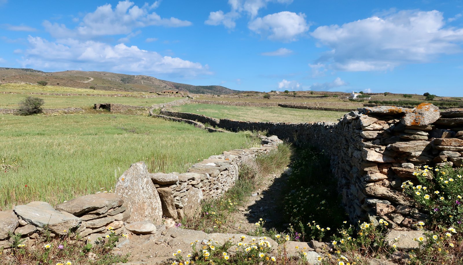
When Trail 6/7 bends to the right towards the Chora, we took the shortcut straight on, still heading northwest. There are various ways to get to Trail 11/1A, the old main road between the Chora and Loutra. For most of its length this track is an outsize version of the smaller walled trails all over the island. It has the same feeling of age as the narrower trails.
Just before getting to Loutra, the trail heads left on the road, signed as Trail 1, number 10 on the map. About 1500 metres later it branches left off the road, due north into a lovely, deep-channelled stone path between high walls that at its end feeds into a short section of dirt track.
Suddenly Kythnos no longer seems so gentle. The final kilometre to the Kastro is not an agricultural stone-laid path but a mountain trail, with a steep-sloped valley to the left that plunges down to the water, small rocky cliffs and an impression of mountain vastness. The path isn’t difficult, but is wholly unexpected.
The old Kastro, on a daunting rocky outcrop, once had a substantial village around it/within it. It was the capital of the island for nearly a thousand years until the 16th century. Hardly anything is left now: some sections of exterior castle wall, and one church, more or less maintained, with a small courtyard in front of it. Internet-estimations for the size of the population range from between five hundred to five-thousand-with-one-hundred-churches. It is very, very hard to believe the larger number. There just doesn’t seem to be enough space up on the crag.

The Kastro, despite its militarily powerful site, was destroyed by the Turks under Barbarossa, whose name comes up again and again in stories of the Aegean in the 16th century. It was never inhabited again.
Down to Maroulas beach and around the coast to Loutra. If you could turn up the green, it could almost be Ireland, the wild west coast, curving country lanes for horse and cart.
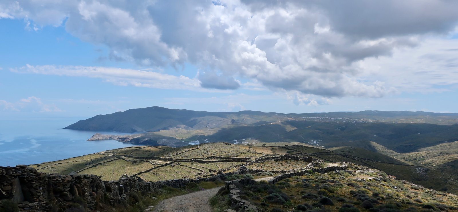
Loutra has several tavernas, an old jetty from which early twentieth century iron ore was loaded onto ships, that still juts into the bay and has reached a state somewhere between industrial waste and historical artefact. Also, a feeling of abandonment; no more iron, no more thermal tourism. Loutra is a place that has hiccupped its way through the last hundred years, finding itself, being lost again, finding itself, looking.
On the southern side of the bay from Loutra, Agia Irini is a tiny, pretty, port and beach with a dozen square little fisherman’s houses, a church on the beach, and nowadays a couple of tavernas/bars.
From Agia Irini there are options: wide dirt track or unmarked-but-clearly-visible stone-laid footpaths through the hills. The latter take a route nearer the coast. You can improvise, depending on time, energy, weather. The narrow trails are lovelier, taking a route close to Livadaki Beach, with some of the churches marked on the Terrain map as staging posts. By Livadaki, the green farmland around the Chora has changed to olive-coloured hills, through the ridges of which stones are visible like bones under stretched skin.
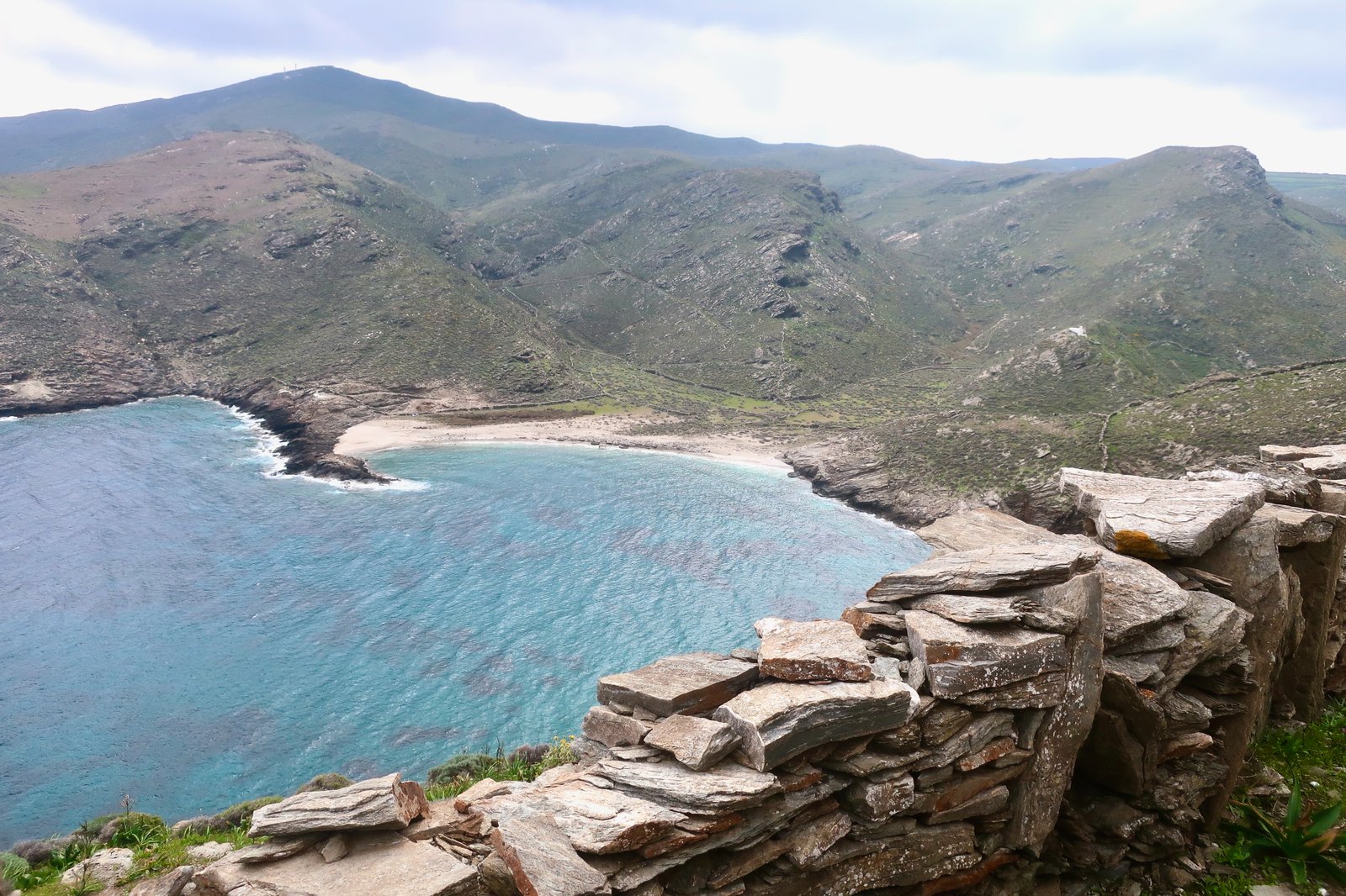
From the Chora back to Episkopi there are all sorts of options dotted on the Terrain Map, a mesh of lovely old stone-paved paths that used to run through intensely-farmed low hills and valleys. In this central section – inside the main roads that make a drunken, dislocated circle between Merichas, Dryopida, Episkopi and the Chora – there are at least a dozen or so shortish paths to explore. Some run through valleys with vines or lemon trees, others slice across long-abandoned terraces. There is at least one more small white church which seems to have been plopped right into the middle of a footpath.

HIKE 4
Merichas – Episkopi – Vryokastro – Apokrousi beach – Kolona beach – Agios Loukas island and back.
About 20 kilometres
Episkopi is another of Kythnos’ seasonal holiday beaches, with a tavern, a church, tamarisk trees for shade. Like most beaches on Kythnos it’s well-protected from the wind, has good swimming, is not fancy and is probably much-visited in season. Out of season the church, which must be more or less irrelevant in summer, reclaims its place as the off-centre centre-point.

From the multi-junction corner of the red road just after Episkopi beach, a narrow track, then trail, dotted on the Terrain Map, leads up towards the ridge of Vryokastro. There are three humps, up and down gently, a sea monster, with the remains of a classical city over numbers two and three. Foundations of buildings. Some sections of classical wall. Huge stones with the telltale marks of jointing and shaping.
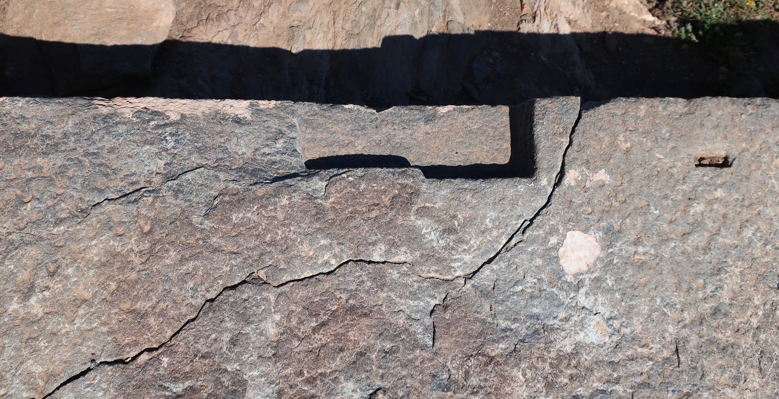
And the stubby end of one column, barely recognisable. The life-span of such places depends finally on the quality of stone. Here the stone is soft. The longest section of wall is being eaten away, the simple combination of wind and water dissolving it like achingly slow acid.
The slopes around and below the main ruins are all beautifully terraced, the terraces following the curves and descents of the land. The walls of later farmers have in places been grafted onto tumbledown classical walls.
The small island of Vrykastrika, just off the coast, was once part of the city, but has long been separated by rising sea levels. There are numerous classical remains on it too, now inaccessible, and still more underwater between the mainland and the island.
A few years ago the unplundered inner sanctum of a temple sanctuary was discovered here, one of the most important ancient hoards ever found in the Aegean. It contained hundreds of pieces of gold and silver jewellery, plus bronze and terracotta goods. In theory a museum will eventually be constructed in the Chora to accommodate the finds.
The trail marked on the map, that rounds the end of the promontory down towards Aprokousi Beach, is visible in places, the land passable enough that it can be wandered over any which way.
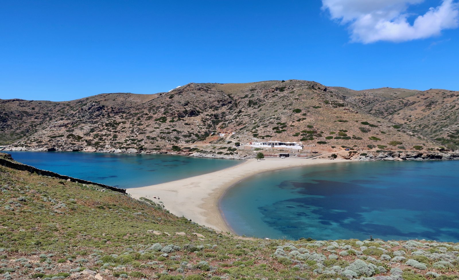
Aprokousi must be popular in season. In April there were four closed tavernas, one yacht and several churches either at the beach or in the valley behind. A particularly ugly dirt road leads from there, past some new developments where a few houses are being built into the dry hillside. And then Kolona – the best known beach on Kythnos. It’s visible from Vryokastro, a thin neck of sand connecting the small island of Agios Loukas to the coast.
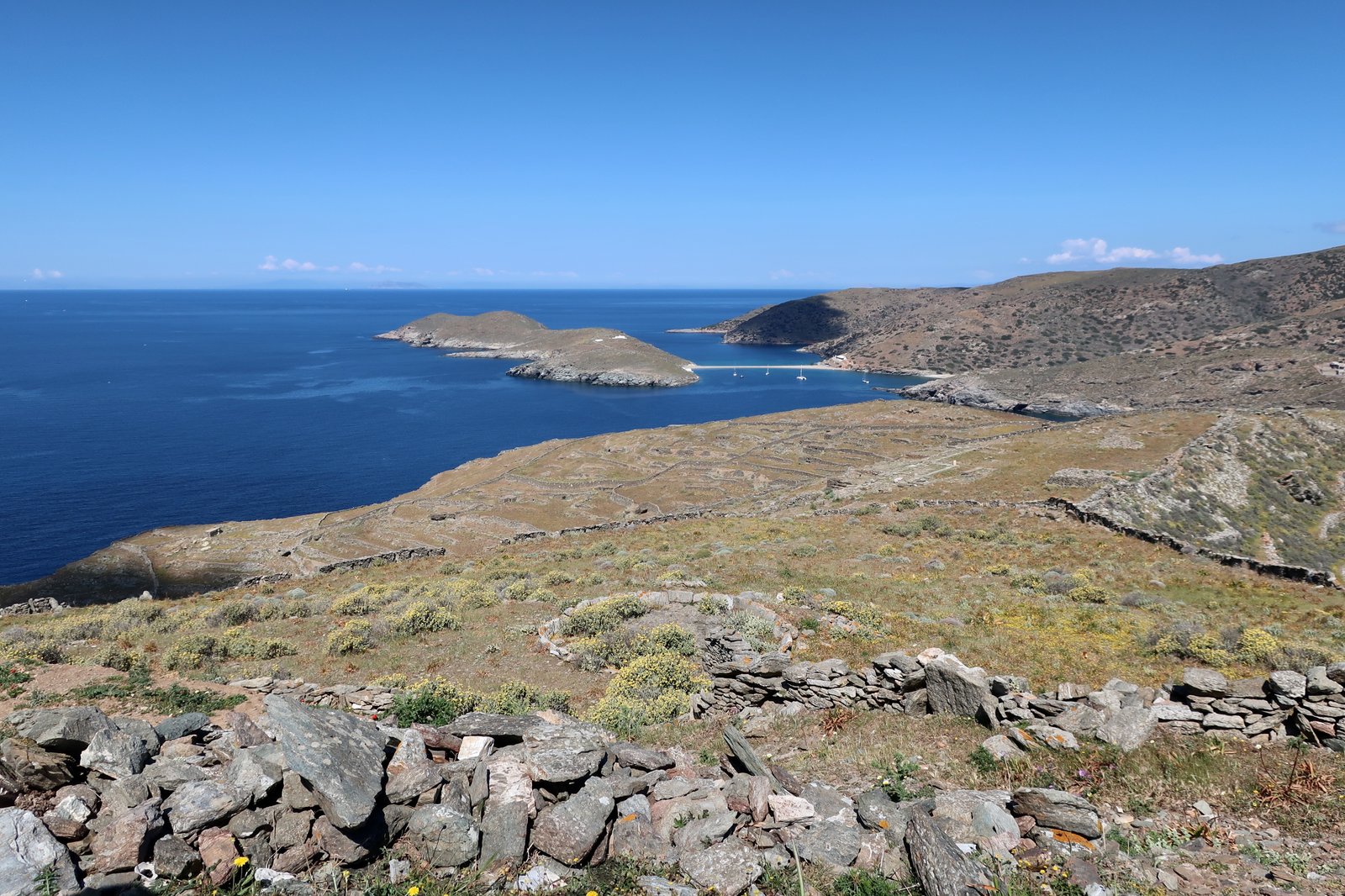
Even in April a handful of yachts were moored there. The two-sided strip of beach will be calm on at least one side – and probably both – whatever direction the wind is coming from. In the high season there must always be people.
The path back from Aprokousi Bay to the multi-junction point above Episkopi, with the remains of the ancient city up above to the right and a flat, fertile valley floor to the left, is a beautiful, deep channel between stone walls gouged into the side of the hill.
And then the short road-walk back to Merichas again.