
Our host in Irakleia lives there, she says, because there are too many people on Naxos (pop. 20000). For her it’s a withdrawal. Looking from the four islands of the Lesser Cyclades, of which Irakleia is the biggest in size, but also the least-inhabited, the wildest, Naxos is the next step up, the big smoke.
We tend to presume that people who live on the islands, especially the smaller ones, are more or less passively there – that they were born and brought up on them and have never realistically considered leaving. Either that or they’ve recently returned to their home islands, the home islands of their parents, to work in tourism. We meet many returnees. Tourism is one of the few sectors that continued to function during the Greek economic crisis. But this idea of purposeful disengagement disconcerts us.
Maybe a hundred people live on Irakleia in the winter. It’s hard to get reliable numbers. Official residency figures don’t allow for the fact that a proportion of all official island residents disappear for the winter: they go to Athens, or Thessaloniki, or often to Piraeus. Very often to Piraeus. Piraeus as a place of minimum retreat. There they wait for the return of better weather, on the edge but still connected, as if in contact with the threads of the boat routes.
At the beginning of April, when we were in Irakleia, we saw no other tourists.
Our stay was supposed to be longer, but when it came to leaving Paros a force ten gale was blowing. All ferries were cancelled. This happens in winter. For anyone who spends the off-season travelling around the islands, it will happen some time. You will be stuck in a place the centrality of which, for as long as the bad weather lasts, will be wind and the noise of wind.
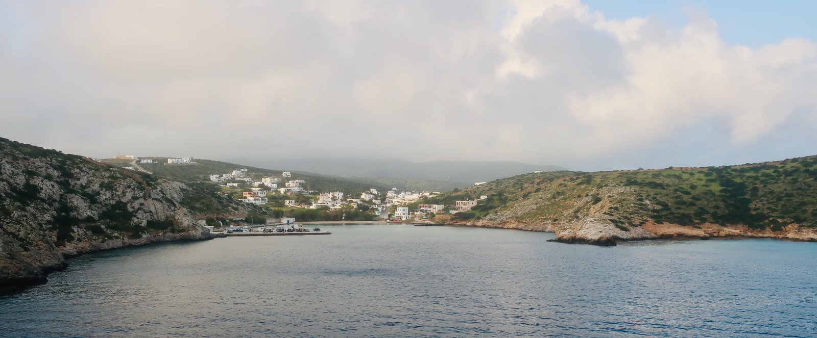
The unique characteristic of Irakleia is that it’s very small and has no unique characteristic, except that it has all the characteristics of a much bigger island. It has a small port in a small protected bay and an inland capital. It has stone paths and gentle agricultural terraces and what feel like mountains, even if not really mountains since the highest point is not much more than four hundred metres.
Near the southwestern tip is the supposed cave of the cyclops Polyphemus, where Odysseus and his men were imprisoned. The entrance is so small you have to crawl in on hands and knees. Inside it’s slimy, organic.
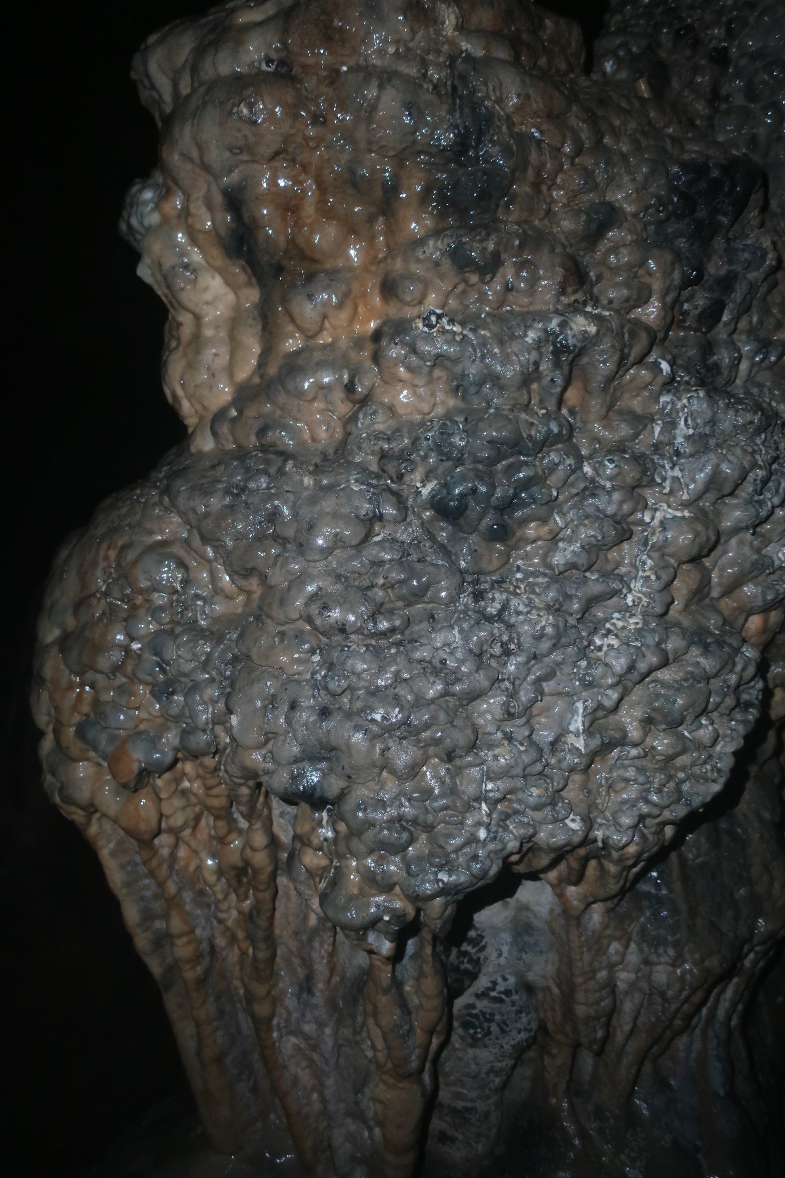
Here, the routine claustrophobia of caves is increased by the narrowness of the entrance, which underscores, too, the image of Odysseus and his men escaping the cave through this opening, tied to the bellies of sheep that are at the same time impossibly diminutive, in order to be able to pass through this entrance carrying their human loads, but also inordinately large.
You may be thinking that the presence of Polypehmus’ cave is sufficient cause for notoriety. But no, there are plenty more Polyphemus’ caves in Greece: between Sougia and Koustogerako on Crete; at Alexandropoulis in Thrace; on the island of Youra near Alonissos in the Sporades; at Pseropirgos on Serifos; and so on. In all these places some knowledgeable local, if called upon, will certainly point out the rocks thrown by the furious, blinded cyclops at the shipload of escaping Greeks. In Irakleia they’re called Megalos and Mikros Avelas, the larger of these two islets about four hundred metres offshore.
There are no natural water sources on Irakleia. Rain water was traditionally collected and stored in round, stone-built cisterns, dotted all over the island. Nowadays there’s a desalination plant to provide for the needs of the residents and visitors. According to figures from 2019, there were less than 1500 tourists during the whole year, and a significant number of these will have been returnees, with family links.
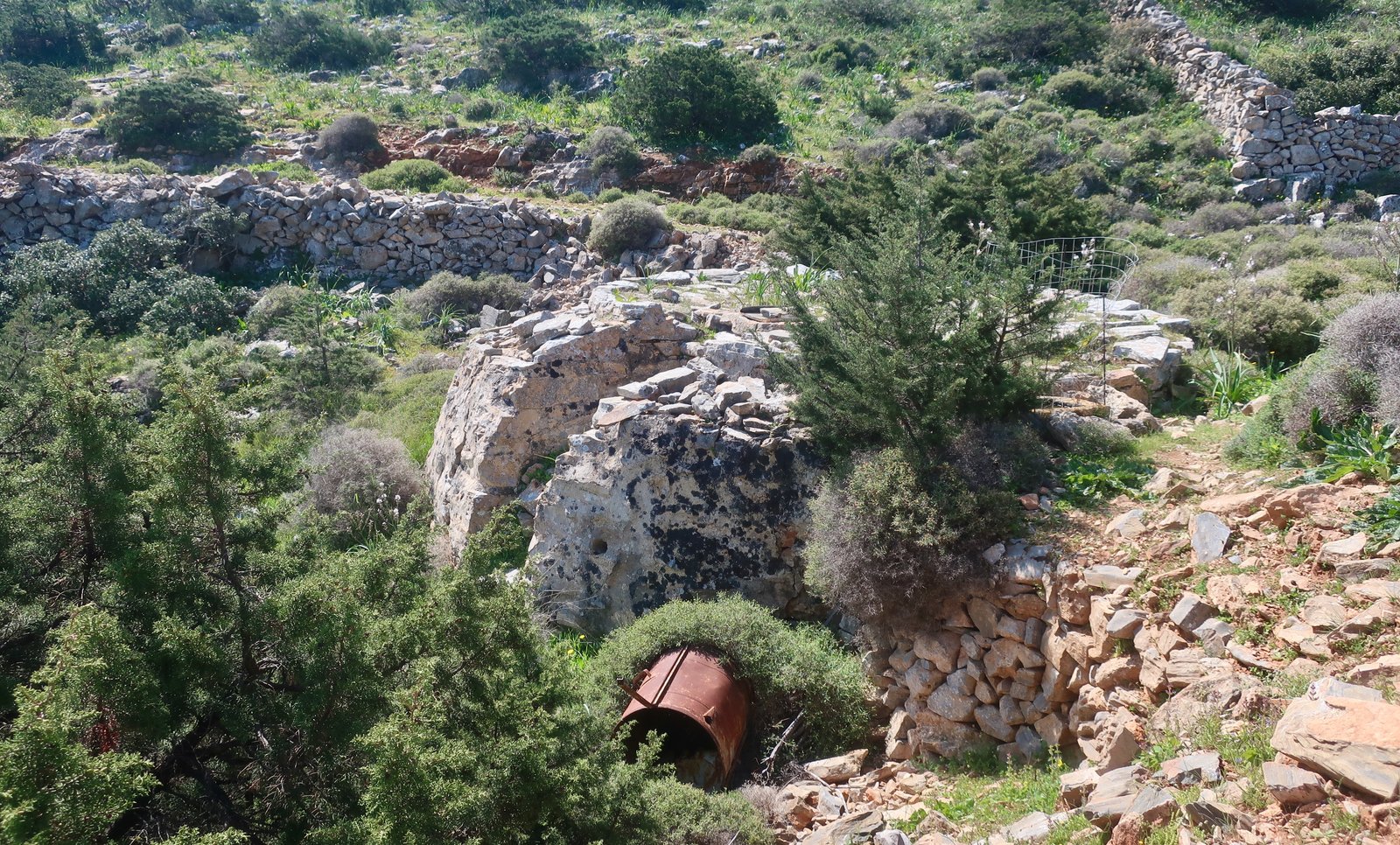
The scant remains of an ancient Greek citadel sit on a low hill overlooking the beach and bay at Livadi. Strolling around up there we met a local resident. I asked him about the lack of water, and how could there have been an ancient city on such a dry island?
Do you think they had toilets? he said. Cars to wash? Walking away, he turned: Do you think they took showers?
HIKING
There are eight numbered hiking paths on Irakleia, all more or less well-signed. The map on the municipal notice-board doesn’t exactly correspond to the Anavasi map we used – Naxos and the Lesser Cyclades. But even if the numbers differ just a little, the gist is the same.
The total length of all trails is not more than forty kilometres. Lowland, highland, up and down to deserted bays, stone-laid in places, at times a little dramatic, at times through soft agricultural terraces. Something of everything. Again, a much larger island in miniature.
For hiking purposes, Irakleia is a little bonbon.
Because our time on the island was cut short by bad weather in Paros, we did only one proper hike, comprising, (from the municipal map), numbers 7, 6, 5, 3, and 2, in that order. Approximately twenty-seven kilometres including the stroll back to the port via Panagia and Livadi from the end of Trail 2.
It would be very easy to divide the island into two or three easily manageable hike-pieces.
The following (with reference to either the municipal or the Anavasi map) is, briefly, what we did:
On Trail 7 we walked on dirt track from Agios Georgios, the port, to the tiny village of Agios Athanasios, an ancient farming hamlet mostly now in a state of evocative ruin.
Just after Agios Athanasios there’s a right turn, marked 6. A very nice old stone-edged path heads across coastal hillsides and down towards Vourkaria Bay.
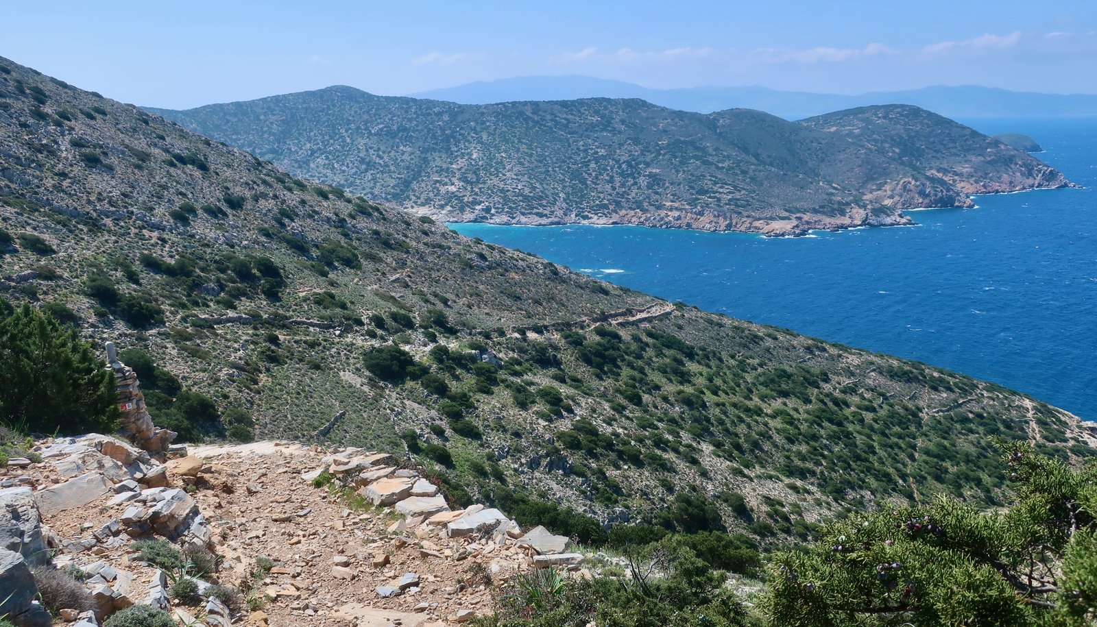
The same path, now numbered 5, continues up the other side as far as Agios Ioannis, the cave of the cyclops. From the point at which Trail 5 joins Trail 3, the cave is just off the path and up to the right. There’s an open cave-shelter on the left. A low stone wall in front makes of it an animal pen. On the right, facing, is the low, narrow entrance to the actual cave. Having entered on hands and knees, it opens up inside like a mouth.
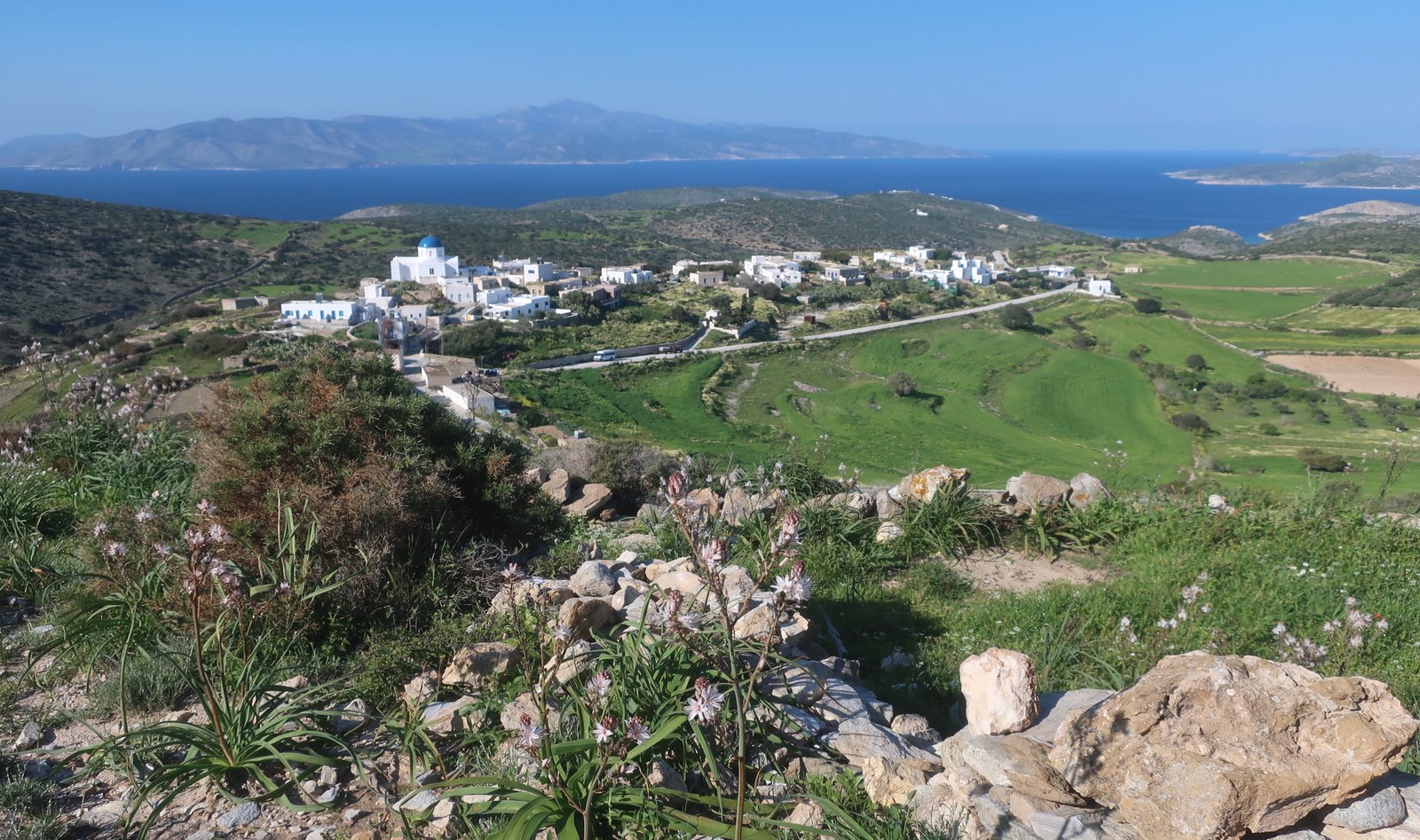
The path from the cave to Panagia is at first a classic traversing, slowly rising, stone-edged path, then a more or less level trail between stone walls to the village, where there is an outsized blue-domed church, a couple of dozen white houses, and not a sign of life when we passed.
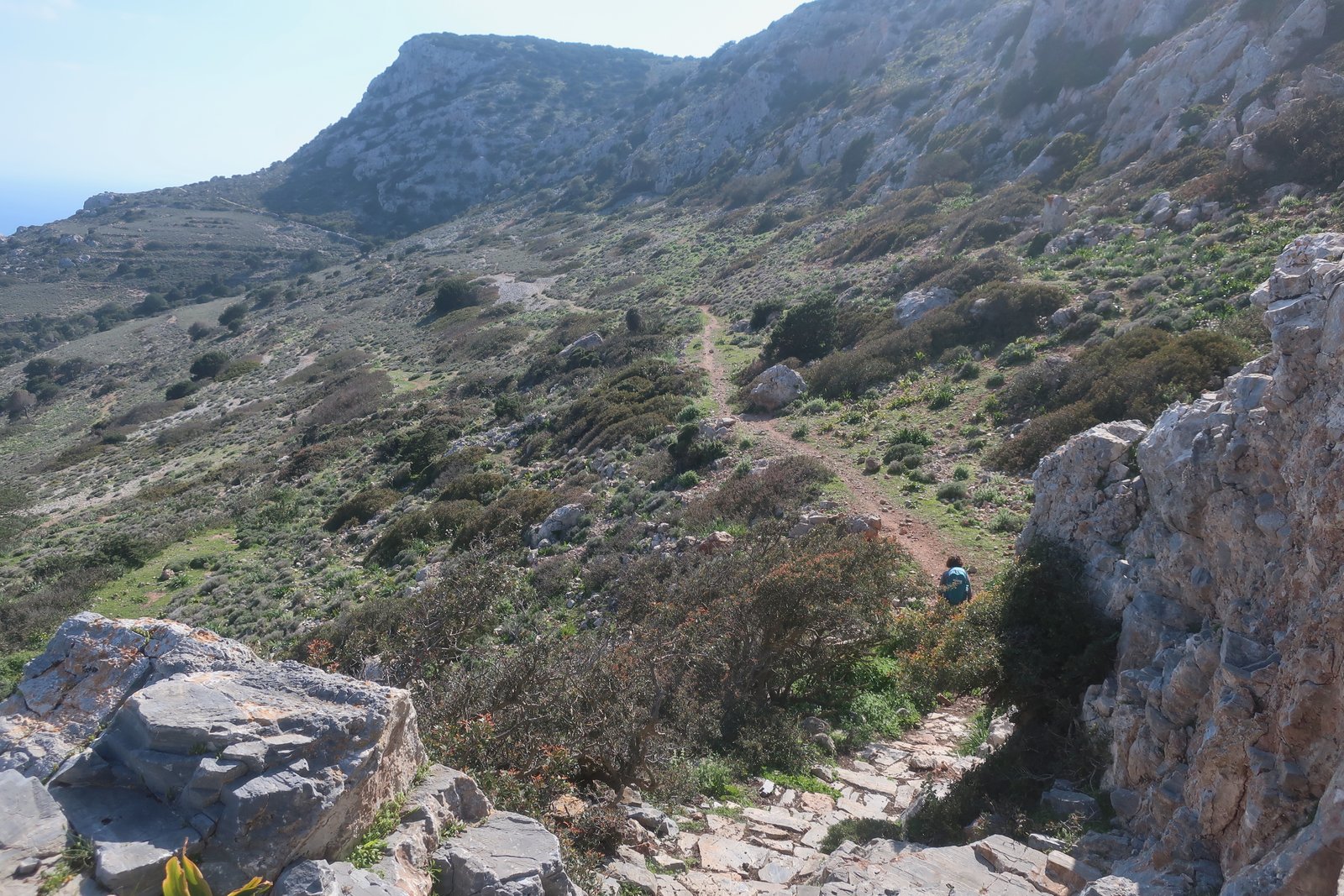
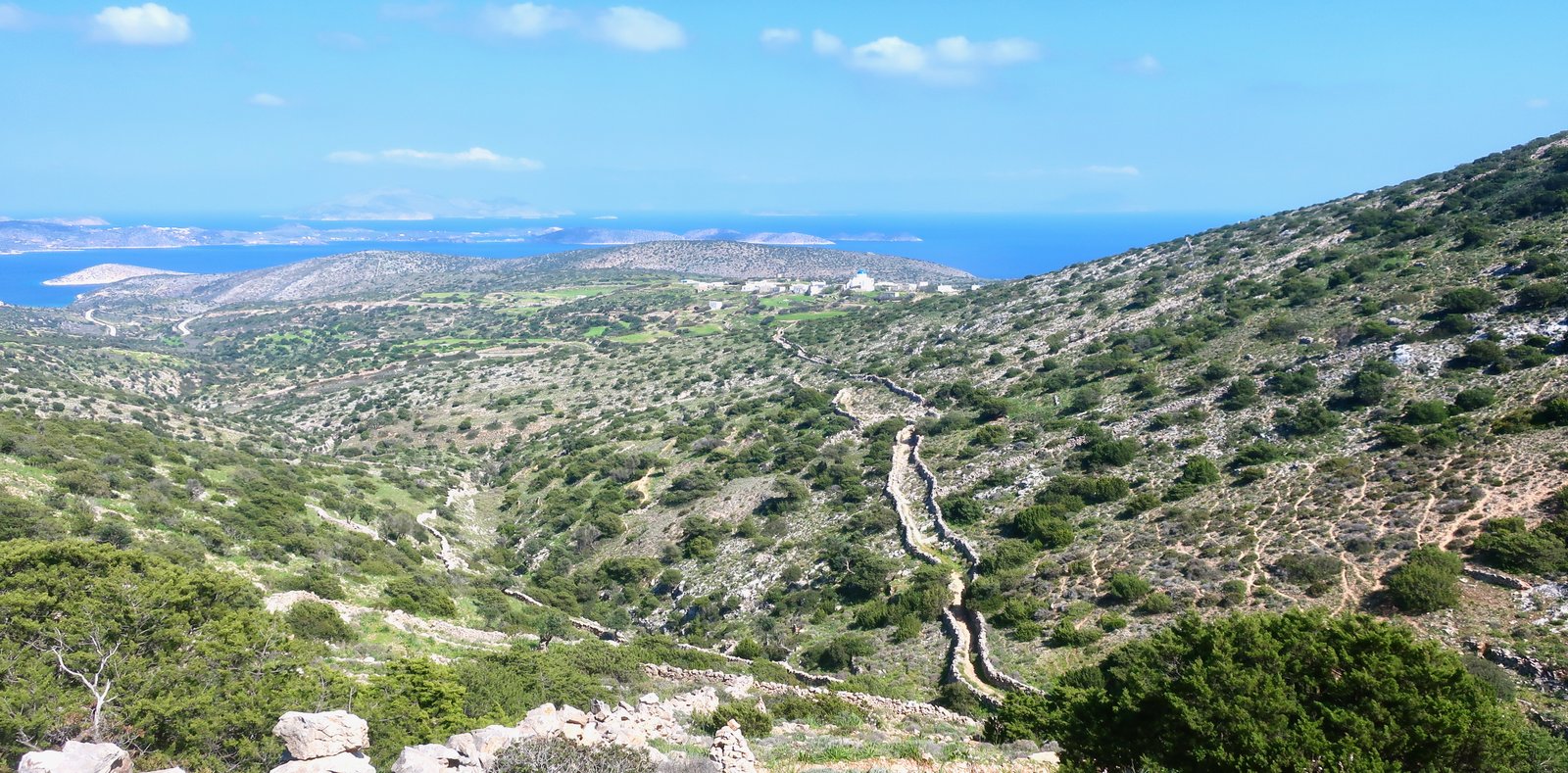
Going north out of Panagia, we followed Trail 1, then branched off left onto Trail 2, which leads to the lookout above the mid-southern coast of Irakleia. The path that takes you to the lookout is lovely, the path’s-end is wild and wonderful. Jagged cliffs and heaps of rocks. It feels higher, more dramatic than three hundred metres.
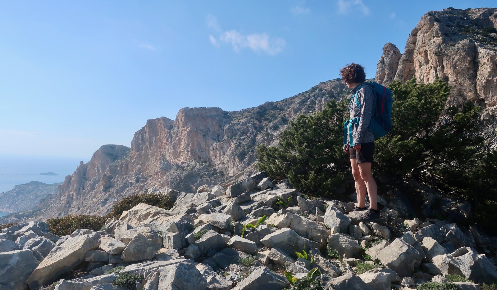
On the Anavasi map there’s also a faintly-marked trail that leads down to the end of Trail 8 at Vorini Beach.
We didn’t take Trail 1, that leads on past Profitis Ilias church to Papas, the summit of the island (420m).
Back in Panagia, the main road leads towards Livadi beach. No traffic of course. There are a few cars on the island, but no service station. Battered jerry cans come in on the ferry.
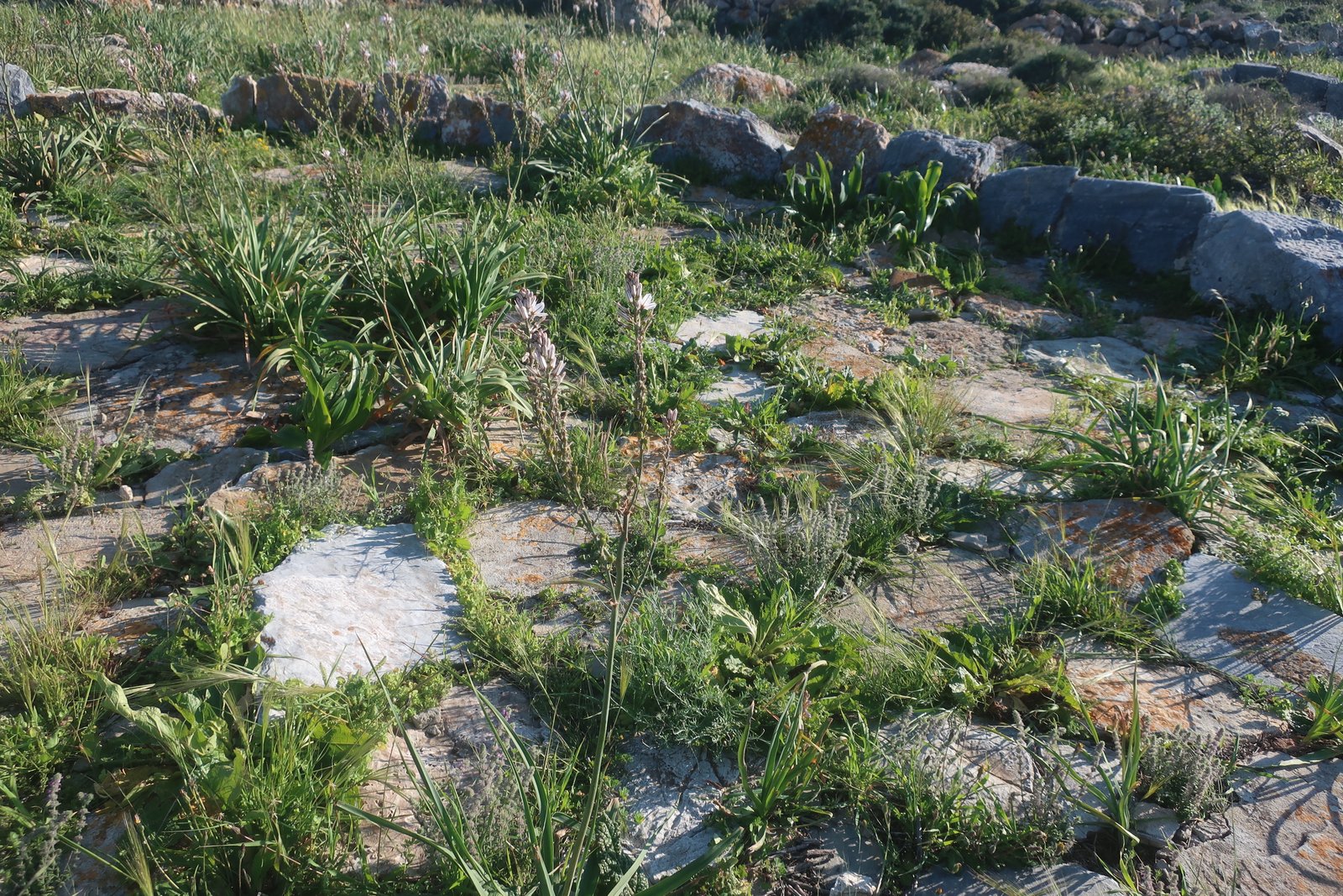
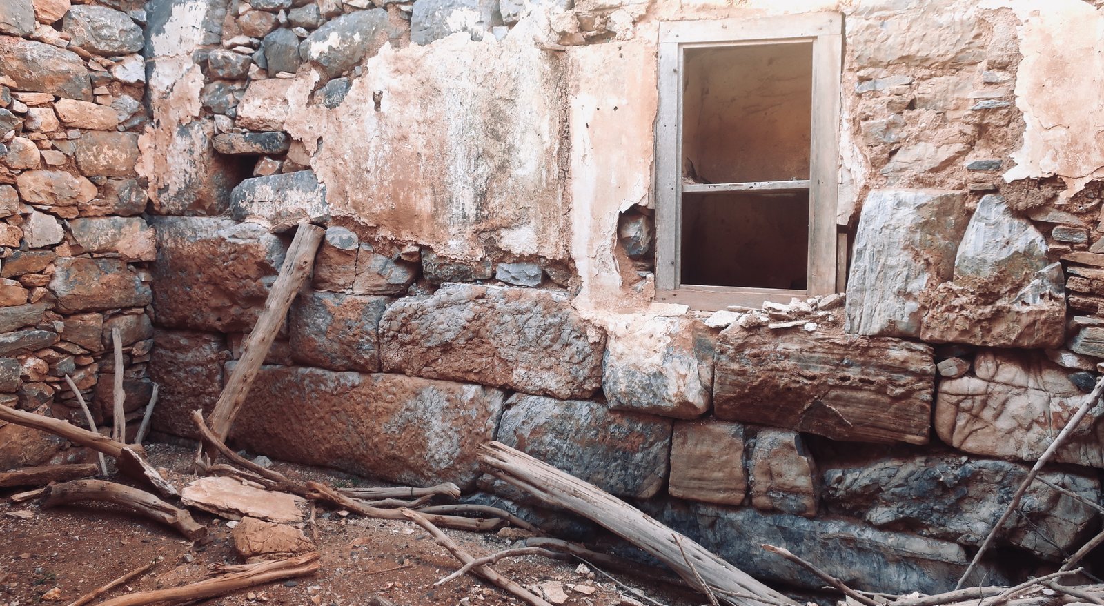
The small hilltop overlooking Livadi was the site not only of the classical city, but also of the subsequent Venetian castle and agricultural settlement or smallholding. The levels of these various constructions are superimposed one upon the other. In characteristic Greek island style, each successive structure makes use of what came before: in the base of a wall, the massive, mortarless stones of the classical city; over and alongside them a mix of grand Venetian and simple agricultural masonry; a wooden window frame is recent, from a house of sorts; the veneer of plaster on what has been an internal wall, now open to the weather, has been washed away to expose the history underneath.
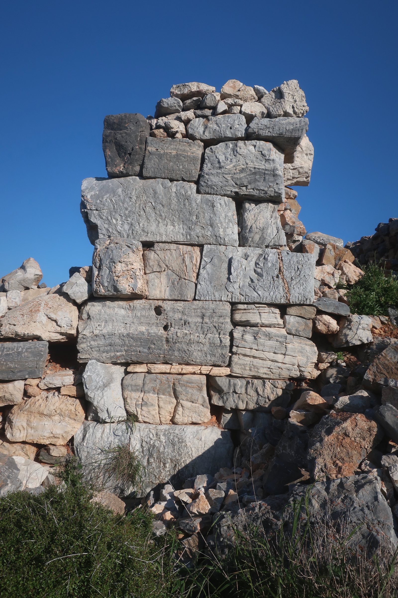
Other telltale sections of ancient wall have been incorporated into other walls. In places the complexity of ancient stone has easily outlived what came after.
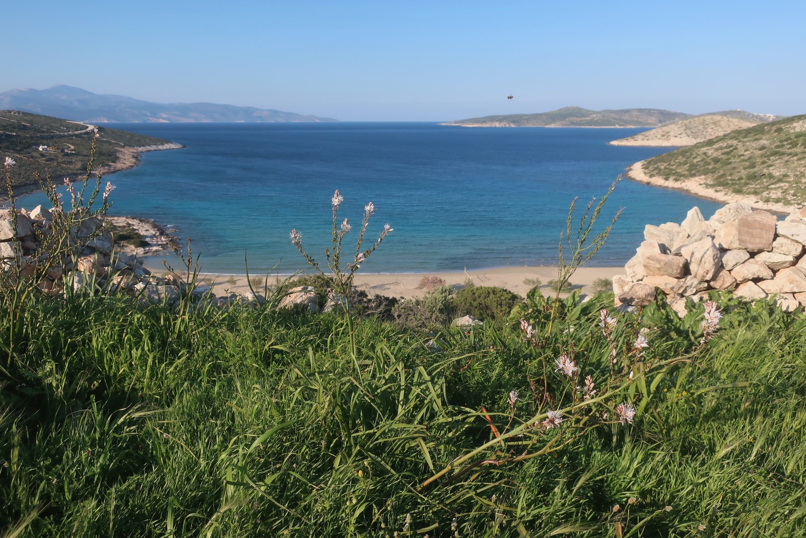
Livadi Beach, the widest on the island, is just down the hill beyond the piles of stones, the remnants of walls, a threshing circle with grass pushing up in thick tufts between the flat stones of the threshing floor. The only other beach of any size at all is at the port, barely sixty metres across.