
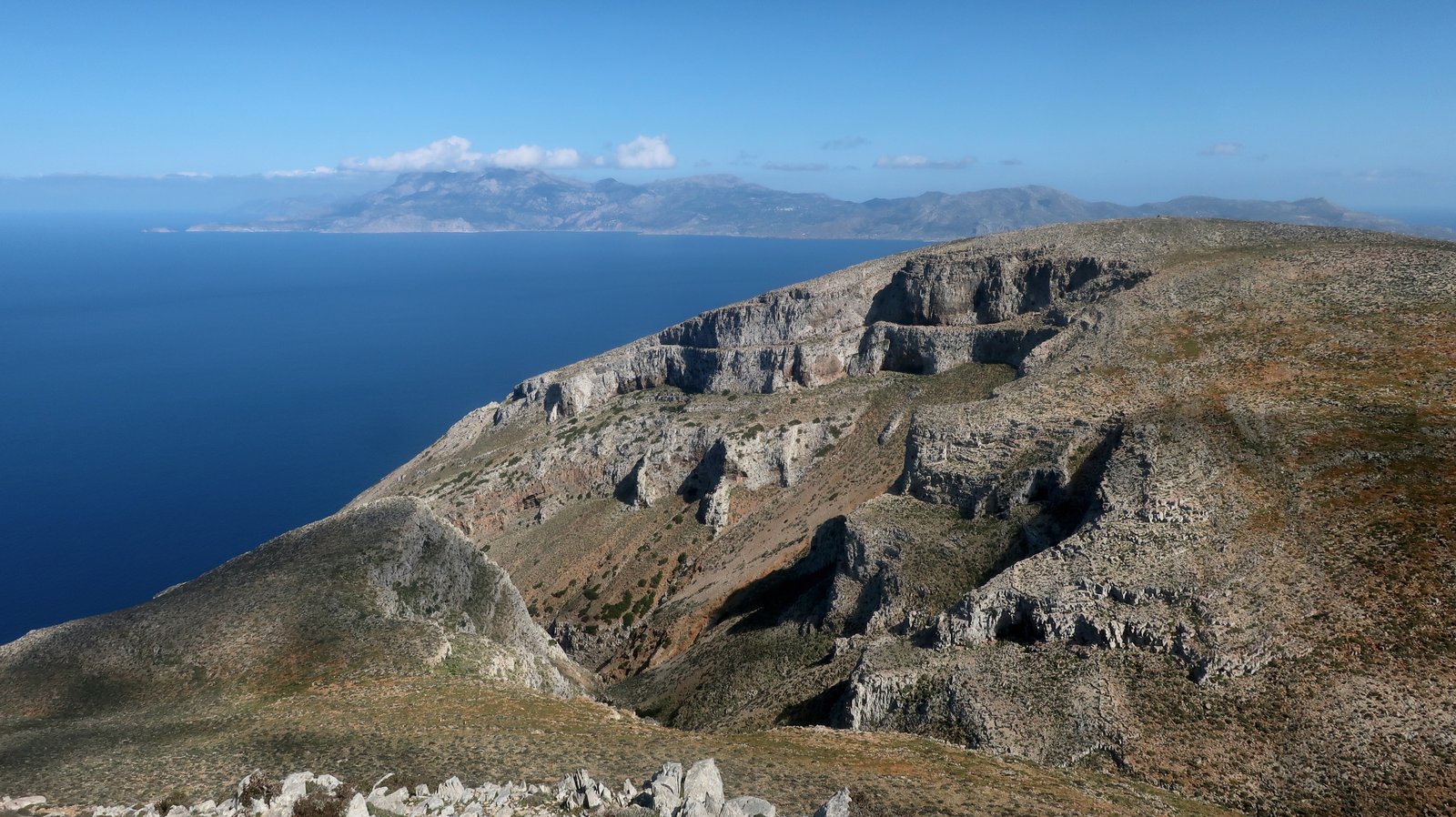
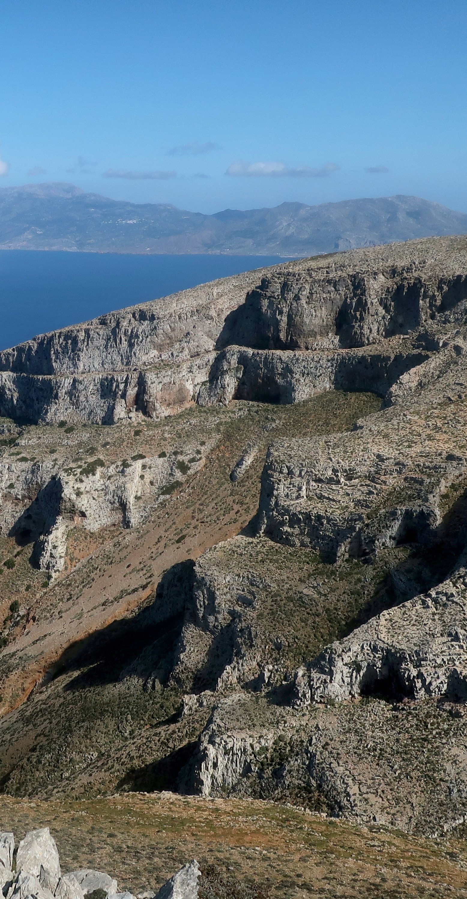
Comparing Kasos to Karpathos, its much larger neighbour, Lawrence Durrell, in his guide to the Greek islands, described it as a smaller, stonier version of the same thing. And that was it. Not another word.
Kasos is small and stony. The land is barren and steep, with multiple ravines running between the high ridge and the coast. The hills around them fold like the rucks of over-long curtains. There are very few trees. Like many Dodecanese or Cycladic islands, it’s empty and dramatic. But it isn’t Karpathos. Karpathos is an island of contrasts, it has a bit of everything. Kasos is pretty much uniformly fierce.
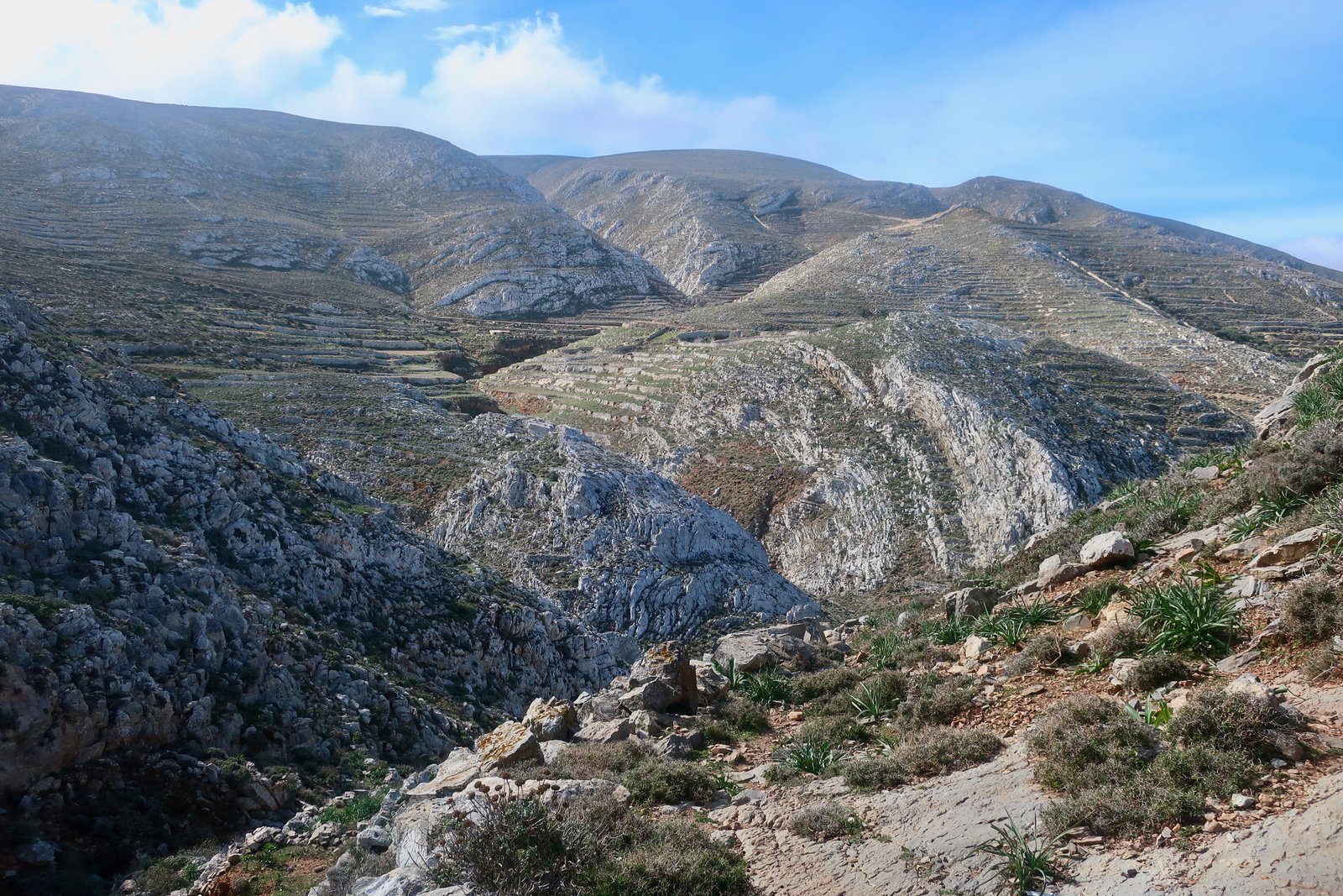
Because few tourists go there, someone, somewhere, is bound to have described Kasos as a hidden gem. Sometimes it seems that all any island needs in order to be hidden is not to be Mykonos or Santorini. As for gem, in a Greek island context it goes with hidden like bread goes with butter, horse with cart.
Kasos is remote, paint-peeling, scruffy, comparatively little-visited. With no awareness at all that for us her profound satisfaction was wholly foreign, an elderly Kasiot woman who had cornered us in the bakery wanted us to know that all three of her daughters were married to Kasos men. As if there were no greater possible destiny. All Greek islands are to some extent closed worlds. The more remote they are, the more defiantly inward-looking they tend to be.
Ferries call in from both directions, Karpathos/Rhodes to the east, Crete to the west. Before visiting we’d sailed past two or three times. The from-the-ferry Kasos was a mound of pale brown dust with an unusually formless port, as if all the buildings had been tipped out of a bag. When we eventually stayed there, during a week-long visit and even in such a tiny place, we never managed to understand the sense of it.
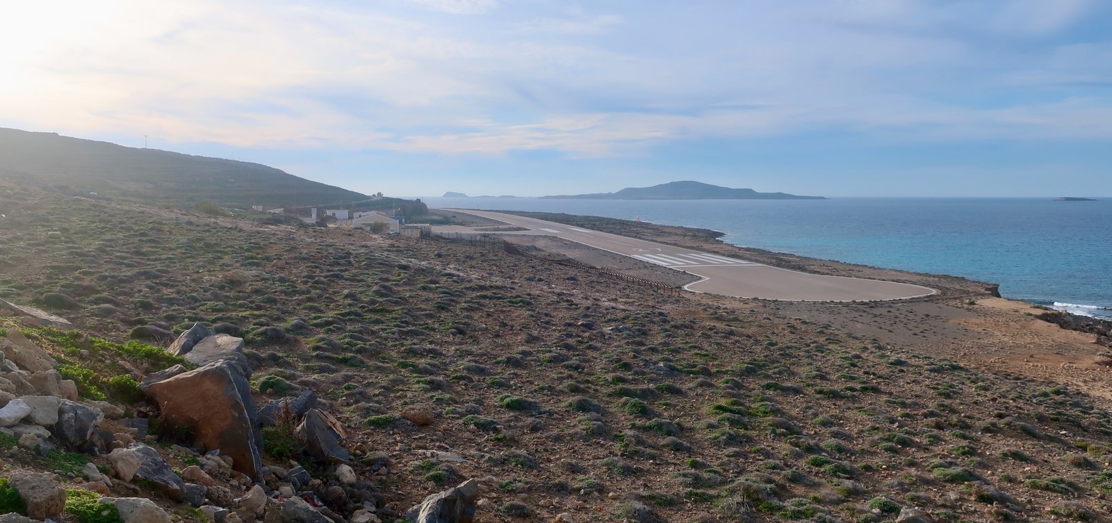
There’s a small airport, an incongruous strip of concrete on the coast, stretched out like a sticking plaster, with a blob for turning at the end and a toy terminal in the middle. Propellors only. No international flights. The stroll from terminal to the outskirts of town is about five hundred metres.
The 900 inhabitants live in a pocket of land in the middle of the island. There are five named villages that just about manage not to meld into each other. Approaching on the ferry, you could wave to more or less everyone who lives on the island. The port, Fry, (pronounced free), is the largest settlement, the very slowly beating heart of Kasos. Almost everything’s there. Over in Agia Marina there’s another café/taverna or two, probably closed out of season, a small supermarket and a bakery. In Agia Marina and Arvanitochori there are a number of sea captain’s houses, well past their minor glory days, pastel-coloured with flaking paint, harking back to a time when Kasos was a seafaring, boat-building community. They are nothing like the grand neoclassical seaman’s homes of Andros town. According to an enthusiastic internet-commentator, the people on Kasos are so welcoming, so available, that it’s quite the done thing to turn up at one of these loosely historical homes, knock on the door and ask to be shown around. As if.
The highest and oldest of the villages is Poli. There was a fort, perhaps a classical settlement, on the hill under which it sits. According to more internet-info, there are small vestiges up there. In Fry we were told that what was left of the old Chora at Poli had fallen down and been covered up by the villagers. There was more than a hint of blame, as if those villagers a couple of kilometres along the road, a different sort entirely from us, were vandals. Coming down towards Poli from the ridge of the island in February, there were moments of illusion when Kasos briefly appeared to be a green and pleasant land. Northern Spain perhaps. Portugal. Photography, fixing the oh so transitory, lends itself to such falsification.
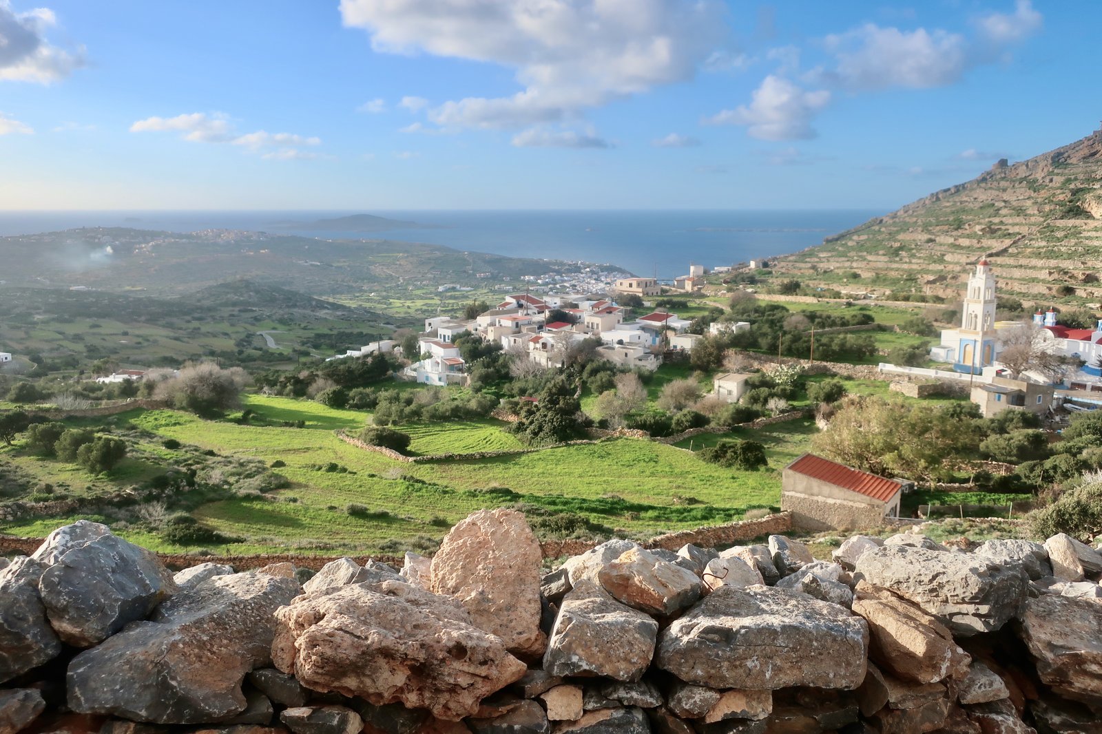
Authentic is another popular way to describe places that are little changed by tourism. Fry is thus authentic. There are three somewhat chaotic, somewhat dusty mini markets. There’s a fruit and vegetable shop in the middle of town. In the bakery, difficult to find were it not for the wonderful smell, all the bread is made from the same dough, minor variations on a theme presented in different weights and shapes, with different names; some are round, some oval, some are little rolls, but they’re really all the same. In the islands, this economy is not unique to Kasos.
Most of the handful of tavernas and cafes are closed in February. The pizzeria, two or three tables, no more, is open and will deliver, as if living in Kasos was just like living in any other place, all mod cons. In the quiet of a small island evening you hear the delivery moped from afar, the tinny whine of its engine.
Just along from where the ferry comes into the new port is the old port of Vouka, where a few small fishing boats bob on their glassy reflections. It is unembellished and must be sweet in summer. On the harbour wall there’s a photo showing black and white, hazy, period people in their black and white, hazy, surprisingly just-like-our-grandparents’, period clothes. They’re gazing towards a passenger ship, anchored offshore.
All these years later we imagine to see in their expressions how the remoteness of Kasos must have magnified the gravity of these fitful contacts with a wider world.
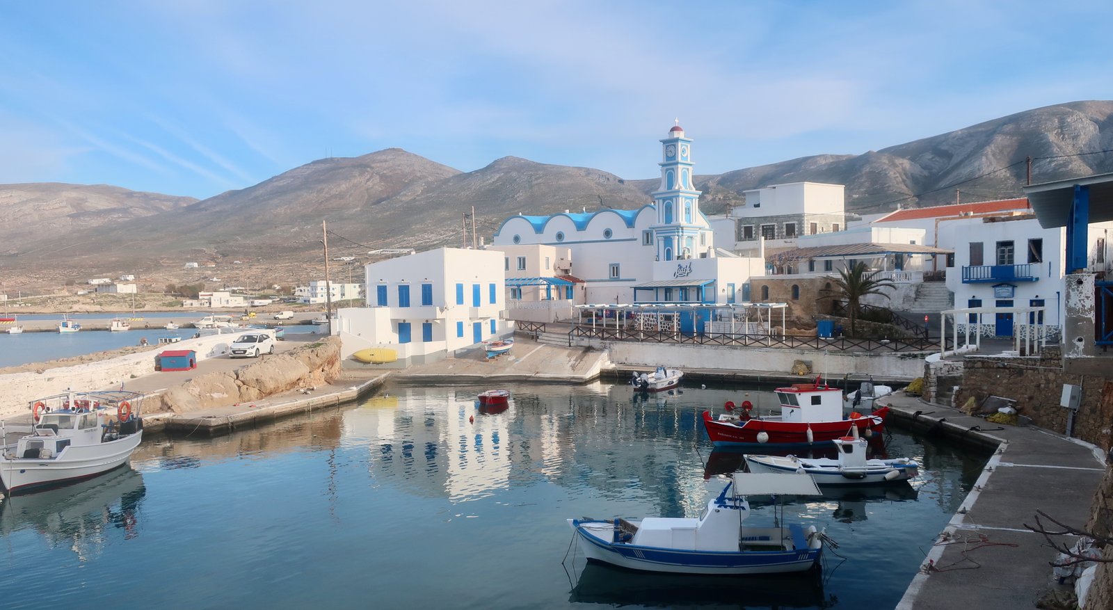
There are no lovely beaches on the island. At the old port of Emborios, just east of Fry, there’s a short stretch of sand in front of some rundown buildings. Helatros Bay, on the sheltered southwest coast, would be the most popular beach were it not for Marmara on Armathia Island, about three kilometres offshore, four kilometres from Fry. Most internet searches for beaches on Kasos come up with Marmara. Golden sand, little shade. A slice of heaven, they say, just a short boat-ride away.
The western half of Kasos is bulkier, wider and a bit longer. The eastern half, looking towards Karpathos, narrows to a tip. Both ends are mountainous.
Almost no-one lives outside the five villages that cluster together on the lump of land protruding from the middle of the north coast. Most of Kasos’ agricultural land is here, squeezed between ravines to left and right and the high ridge that runs from one end of the island to the other. Few people venture outside this central space – as if an invisible barrier circled the settlements. A few, very few, live at Hadies or Eleros in the southwest, perhaps one or two more at Xaralambos in the high northeast. Even the monasteries we visited, Aghios Georgios at Hadies and Agias Mamas just over the central ridge, looking south towards Africa, were deserted when we were there. We were told they would come later in the year. On Kasos even the monks are seasonal.
There’s some evidence of terracing, but harvests must have been meagre. Kasos falls into the group of islands that struggled to produce enough food for its population. Like the inhabitants of Psara, because agriculture wouldn’t suffice, the Kasiots turned to shipping – at the time of the War of Independence Kasos was fourth to Hydra, Spetses and Psara in size of navy. In the past the population was as much as ten times greater. Shipping supported them, trade or piracy – the lines were always blurred.
Like some other islands, Kasos is remembered above all for the disaster that befell it. Greek people who haven’t been there – which is almost all of them – know of Kasos because in 1824, as revenge for the assistance the Kasiot navy was providing to the cause of Greek independence, on the orders of the Ottoman sultan the island was attacked by the Pasha of Egypt and his troops. At least five hundred people died and more than two thousand were taken into slavery. Kasos has officially been named a ‘heroic island’ by the Greek government. As with Psara, Chios, Kythera and so on, memory has coalesced and become encrusted around this moment of pain.
HIKING
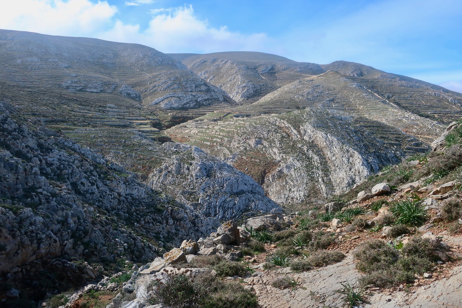
We were there in the third week of February. You never know what the weather will be like, but when hiking in the Greek islands – especially in the far south of the Aegean – even in winter you have every chance of the miraculous. Weather can be irrelevant and weather can be everything. Near the top of the island on HIKE 2, with the wind coming from the north as usual, we sat on a south-facing stone ledge just under the ridge and had coffee. The coffee ritual is one of the constants in every single hike we do. At some point during the morning, often ridiculously late because we have plans to reach such and such place, or have so many kilometres to do and an earlier stop would make the day too weighty on the after-coffee side, we find the best spot possible in the circumstances and stop. Every single walking day. It’s a moment of pure pleasure.
What remains from this particular stop is above all February sunshine. We sat on a stepped ledge of rock, a ludic sort of place, the casualness of the seating somehow adolescent, and were bathed in sunshine so thick and heavy it filled the air and held us like treacle.
Before going to Kasos we had done some research and found reference to an organisation called Paths of Greece. They went to Kasos in 2015 to discover the island and work together with the municipality to make it a hiking destination. In 2022 we found no physical trace of their efforts; no map in the port or the villages giving information, no marked, refurbished trails, no new waymarking. Occasionally we came across an old, faded red dot or an ancient, weathered cairn, markers that long pre-date 2015.
There is an internet site, kasostrails.gr, with sparse details of seven routes. A total of fifty-five kilometres, plus another two short supplementary trails. It’s possible, but far from certain, that some of the trails we walked have since been marked.
From wherever you stay in the five settlements – accommodation is limited, but available, even in February – the whole island can be reached on foot, there and back. The lack of waymarking is not so much a problem here as incentive to be a little more creative, more aware even than usual of the lie of the land: cliffs and ravines to be avoided, possible directions to be taken. An invitation to adventure, let’s say.

We used the Terrain map of Karpathos/Kasos, which has some paths marked (faint to fainter lines) but none numbered. Even when trying to take into account the contour lines on the map, and having looked at Apple Maps too, with its rudimentary, impractical, 3D representation, it’s impossible to understand with any useful degree of certainty where you can and can’t go. You just have to get out there and be prepared to modify. And be careful.
HIKE 1
Following the dotted trail on the Terrain Map, from Fry west along the north coast until the left-hand swerve up the Foulias gorge to Hadies. Then to the monastery of Aghios Georgios and home on the road.
About 25kms
The most direct way to get to the beginning of the coastal path is to go straight through Agia Marina. Bearing this in mind, and also the fact that we had read that Agia Marina was the biggest of the villages, and was grand, in a seafaring sense, we were foolish enough not to bring coffee, but instead to plan a stop in one of the cafes there.
Of course Agia Marina in the early decades of the twenty-first century, and even more so in mid-winter, has barely a pulse. Of course there were no cafes open.
Out of Agia Marina the path bypasses Ellinokamara Cave, then carries on for some distance before getting lost in threads of loosely parallel goat-paths, spread high and low over steepish slopes that plunge down to the sea. There are several small ravines, more like deepish folds, easy enough to negotiate, before getting to Armenis Bay, where there’s a very large ravine. We reached it at a mortally high point opposite a black, yawning, cave mouth, where there was no possibility of crossing.
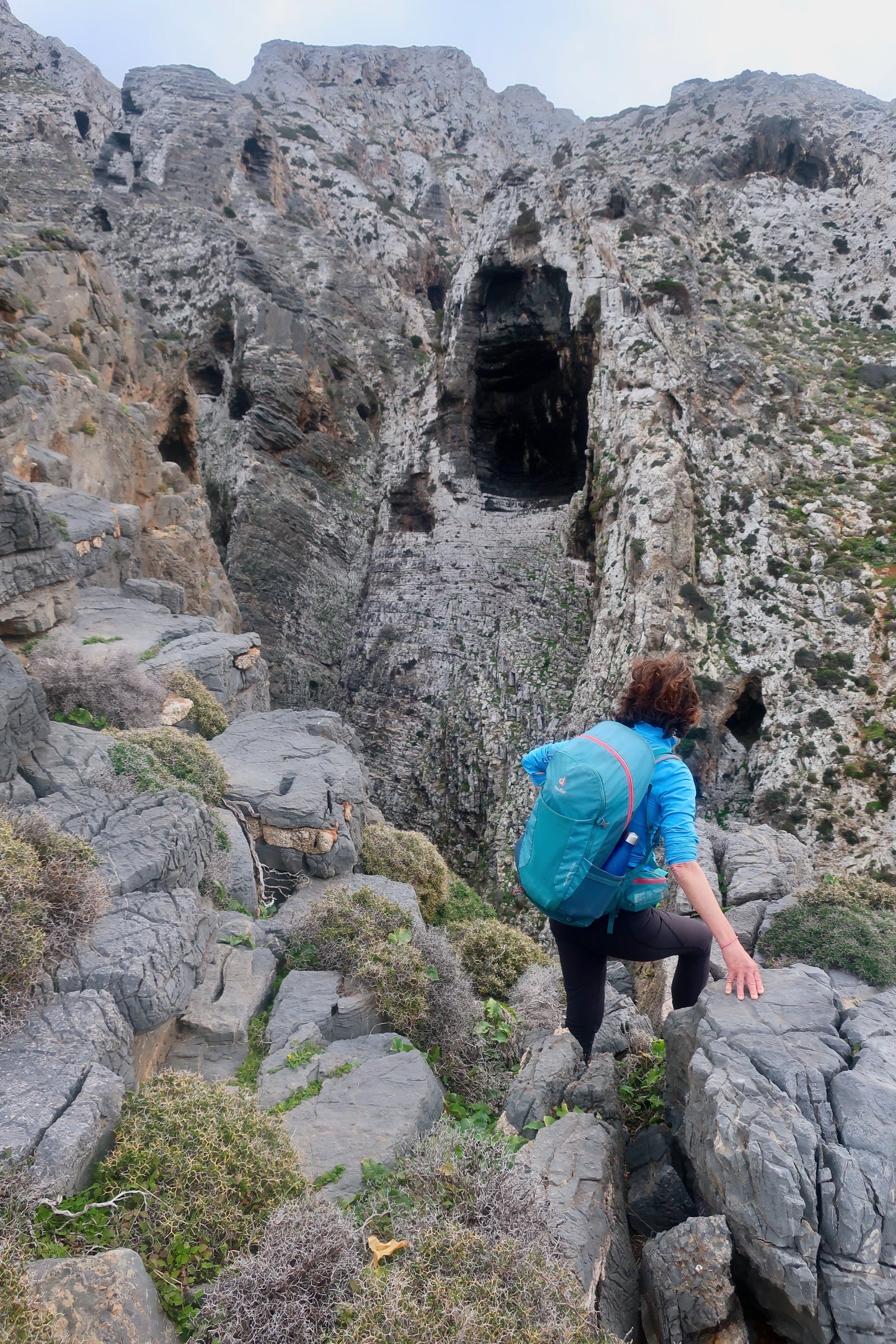
Except that, if you believe you’re in the right place, it doesn’t take much before you find yourselves inventing a route. There’s a hint of diagonal path down the cliff-face, for example, down there. You can’t see it properly because that would mean leaning uncomfortably over the edge. And you can’t see how to get up the other side. But that’s not unusual, you tell yourselves; very often you have to be right there before you find the obvious continuation. Of course, there it is, how could you not have seen it, it’s quite straightforward. Just, how to get to the start-point?
We poked around for half an hour, tentatively trying this way and that, confused, before realising that the diagonal path we had seen, that appeared to have no clean beginning, and went nowhere, was just a random effect in the rock-face that had no beginning and went nowhere. The only possible solution was to drop a little lower down the slope towards the sea to where there might be an alternative crossing-point.
Perhaps there’s a way-marker now. If there isn’t, there should be. If there isn’t, the clue is a pile of stones, a hint of wall really, low down on the other side of the ravine. It still isn’t clear, but if you look closely, there’s a diagonal stepped path, crumbling now but functional, on the near side of the ravine. It’s more straightforward than it looks. And the way up the other side after the crossing-point is surprisingly simple.
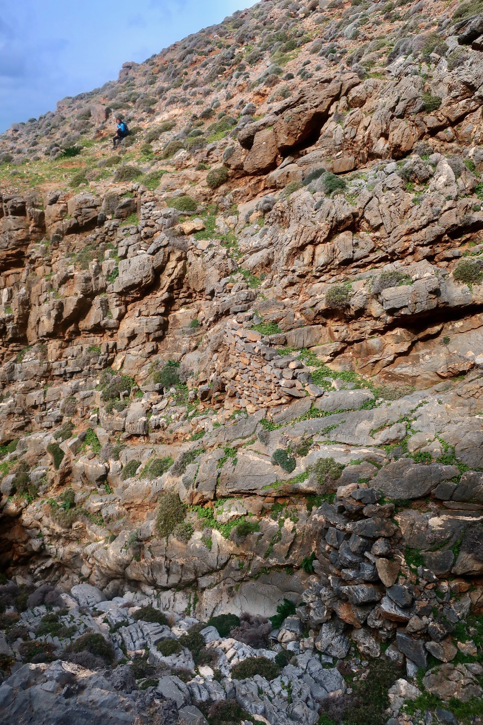
This is the old path along the coast. Two days later when talking to a group of elderly men, they nodded in surprise and approbation that we had found the way, as if it was their secret. We used to take that path in the dark, they told us, by lamplight, on the way to the monastery of Agios Giorgios at Hadies.
The path is clearer after the ravine. It leads into the next ravine at Foulias, and after that an easy trail through the ravine all the way up to Hadies.
Hadies is a rare, once-agricultural spot outside the five central villages. There are half a dozen little cubic houses. Perhaps it’s the gloomy sonority of the name, perhaps the way the buildings are dispersed over the small plateau that renders so unlikely the idea of neighbourly fug. I doubt anyone lives there permanently now.
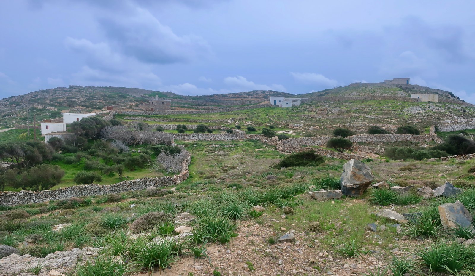
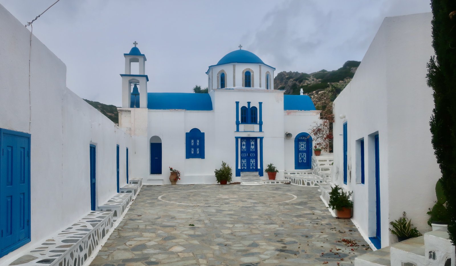
At the end of the settlement is the miniature blue and white Monastery of Aghios Georgios, with its air of frugality. Online chat suggests the possibility of staying overnight if you call in advance, with stew for dinner. There was no-one in residence in February. We had lunch in the deserted courtyard.
There are various possibilities for getting back to Fry, all of them either road all the way, or some combination of road plus trail. With rain coming in, we took the road. This was our one afternoon of bad weather. Rain and wind from the north that hit us directly in the face and soaked us through.
HIKE 2
From Panagia east along the coast until the track goes inland towards Aghios Georgios, then up the Terrain Map dotted trail to the ridge of the island. On to the peak of Mt Prionas. Down to Xaralambos. Out to Grammata on the eastern tip. Back to Xaralambos, then on track/road to Aghios Mamas. From there, down dotted trail to Poli, and back to Fry.
Approx 21 km
On the Terrain Map a track is clearly marked, uphill from a point about 300 metres east of the tiny church of Aghios Georgios.
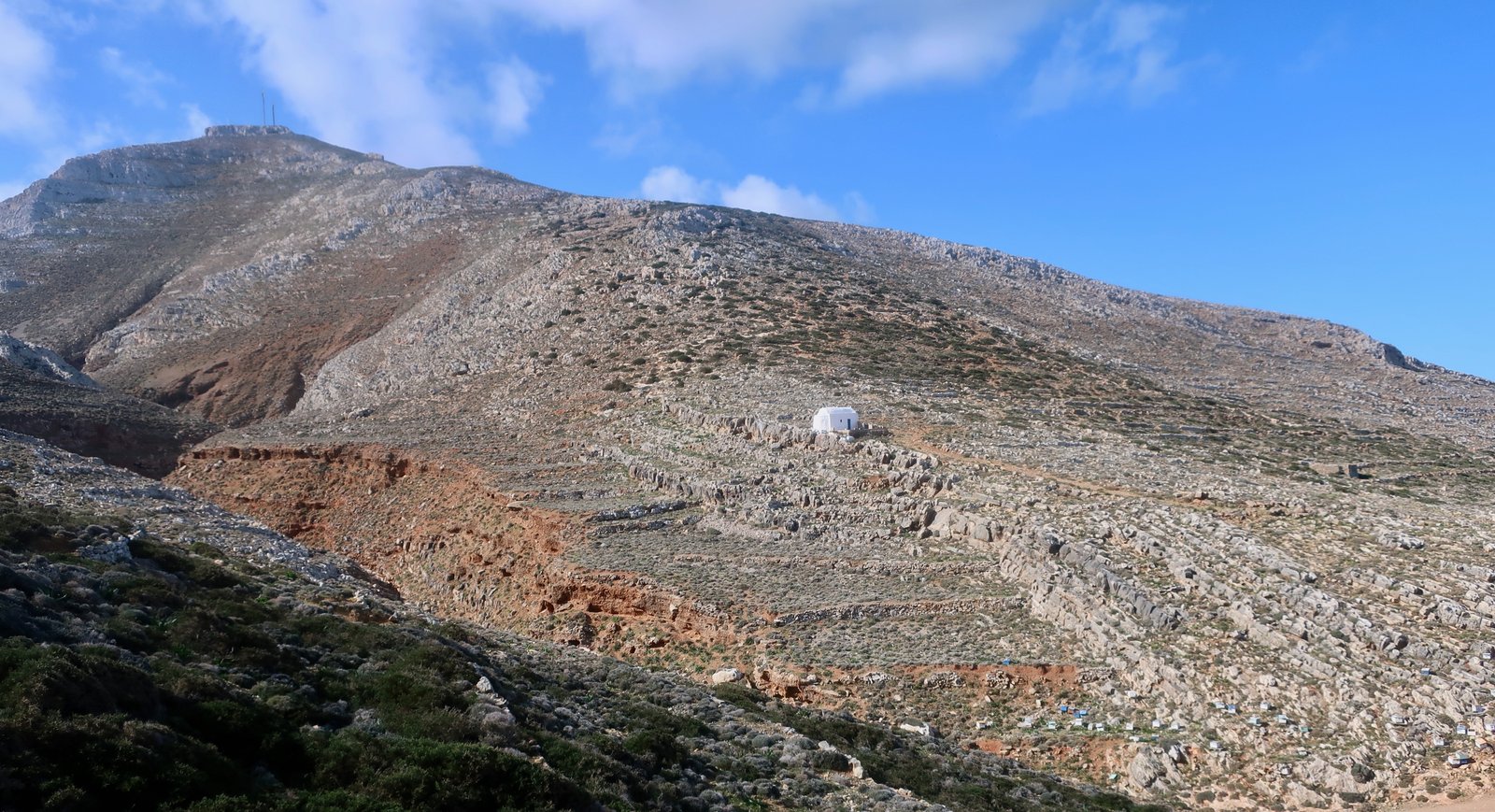
On the ground though the beginning isn’t clear – although again, it’s possible that Paths of Greece have now waymarked the start of the trail. Soon after, it follows a ridge, climbing steadily, on-and-off visible. It briefly touches the dirt road that runs along the top of the island, then kicks immediately back off to the left of the road and up.
Within a kilometre or so, there’s a very obvious small cliff. The trail goes behind it. In fact, it goes behind (above) the cliff on the way up, around the end, and after an optional diversion to the summit of Mt Prionas, 601 metres, the highest point on the island, comes back down in front of the cliff on the return. (All of this is clear, bar the diversion to the peak, which is short and easy, and is marked on the map.)
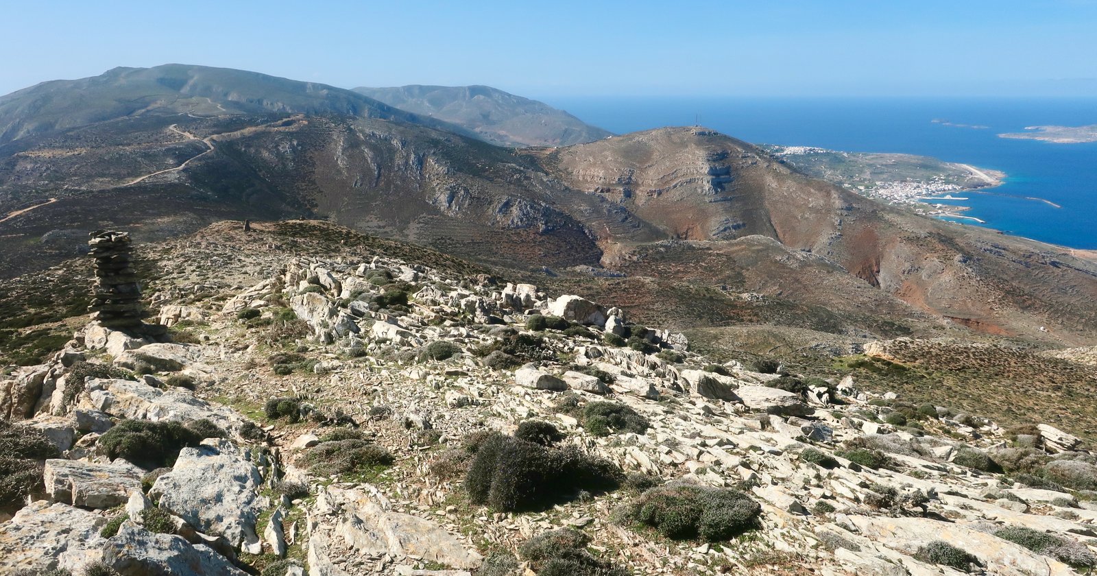
There are at least two large, bee-hive-shaped cairns on the ridge on the way up. They move prominently in and out of silhouette as you climb. Soon after, a narrow dirt path curves around to the left. Having spent so much time on so many islands tiptoeing among spike-plants, having to stick to a path that winds between them, unusually the way here is smooth and open, causing a curious feeling of liberty. You can wander at will. The ground is covered in smooth stones, with coppery earth or close-cropped grass between them. In February it’s spattered with tiny purple-and-white crocuses.
The top of Mt Prionas is similarly open, with views northeast to Karpathos, stretched out like a mini New Zealand, southwest back along the island to Fry, Agia Marina and the airport landing strip. To the south there’s unending blue, sky and sea: four hundred and fifty kilometres to the Egyptian coast, five hundred and fifty southeast to Alexandria, nothing in between.
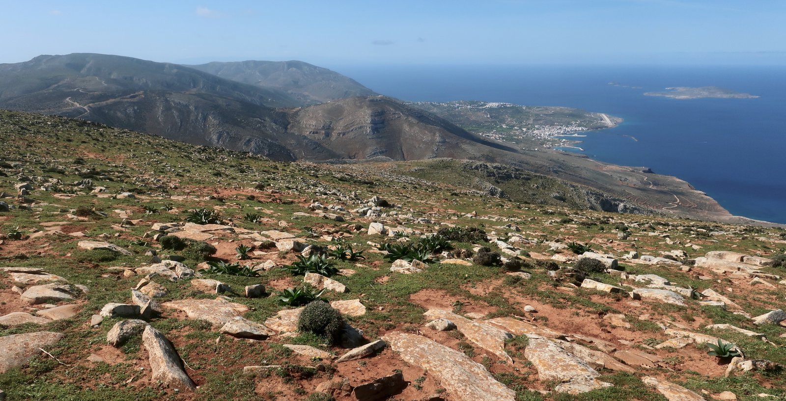
As often happens, looking back from a high-point to the place from which we set off several hours previously, there’s a confusion – on the one hand the island seems small, on the other it seems incredible that we could have come, on foot, so far. In the modern mechanised world of rapid transport, we’re losing, or have lost, an understanding of distance. For millenia, on all these islands it must have been so clear: the time between points, the meaning of paths, was a pedestrian measurement. Now the old ways are relics of the slow world.
A very nice, partially paved trail leads from Xaralambos to Grammata, on the eastern end of the island. A classical site is marked on the map and mentioned online. There are apparently some letters carved into a stone. We found no trace, but the place is beautiful, three hundred metres above the sea with no obvious way down the steep slopes to a small beach. A dozen or so goats that we had been unwittingly herding continued across the precipitous scree-slope above the beach as if it was a breeze, sending down brief little cascades of gravel as they went.
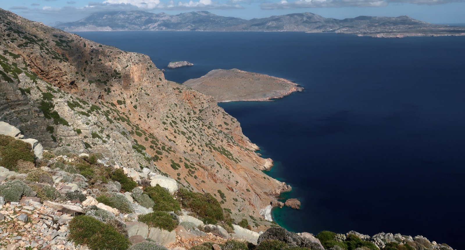
At the far lookout-point there’s a small stone hut, recently built or refurbished, and before it to the right a sizeable plateau, invisible from below, which in the past was used for agriculture. There are the ruins of several buildings, including one house of consequence. It’s a little reminiscent of the high plateau on Nisyros on which there was once a Mycenaean settlement, in that both of them are defenceless, dependent for survival in time of crisis on their invisibility. In another sense the two sites could hardly be more different, one enclosed by peaks in a green, hidden mountain valley, the other here, bare, exposed to sea and sky.
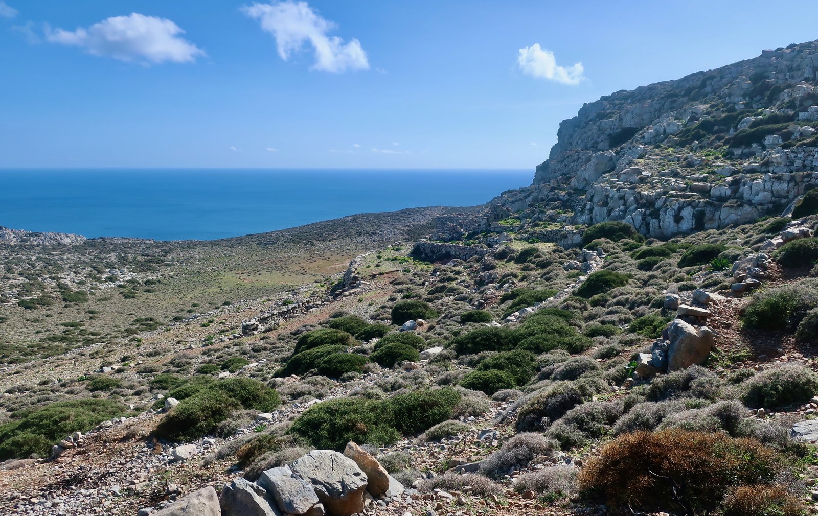
The return goes back over the same path to Xaralambos, where there’s a very basic church and the ruins of what was once a small settlement, little rectangular houses, enclosures, animal shelters, heaps of walls. There are no trees. One tiny smallholding may or may not still be functional. Almost nothing grows naturally here but stones. It is becoming impossible to recognise what was once a wall, a building, and what is just the natural state of the hillsides, stones moving in all directions. What a place to live this must have been. Even without the clouds rushing over as they were when we there, the light going on and off, dragging shadows and illumination across the land, it’s a place of rock and wind and gasping light.
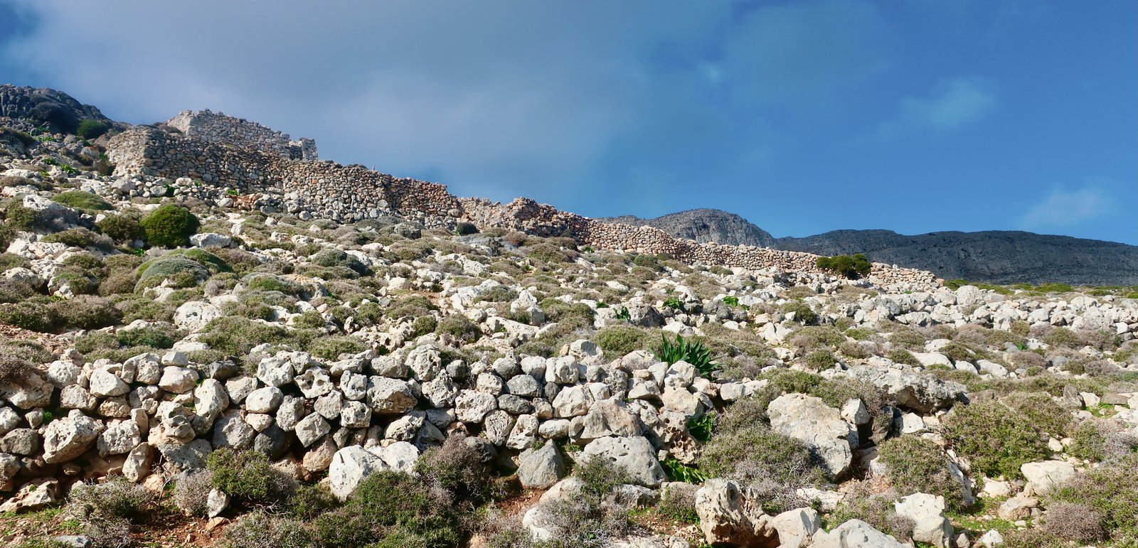
On the way home we passed by the monastery of Aghios Mamas, closed-up for the winter. Then, from the junction of the road that goes down to Aghios Mamas, down the dotted path to Poli. The first half of this path, until it crosses the yellow road, we didn’t find. The second half, old stone winding around a hill, through a gorge, is lovely.
There are more stone walls around Poli, different in style from the walls on the top of the island, different in style from the walls in the west that we’d seen the previous day, all of them exceptional in colour and texture.
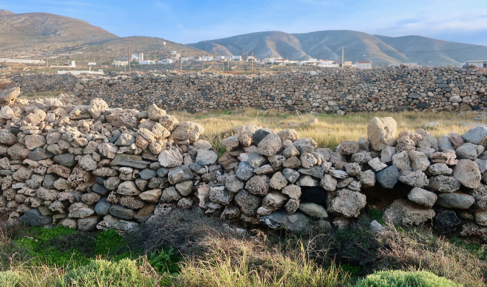
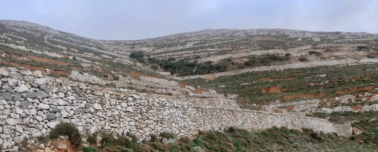

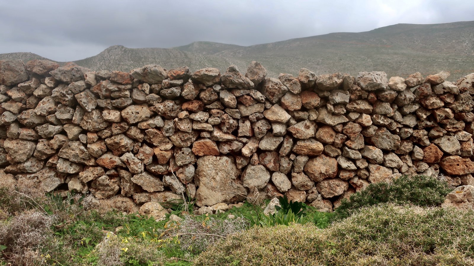
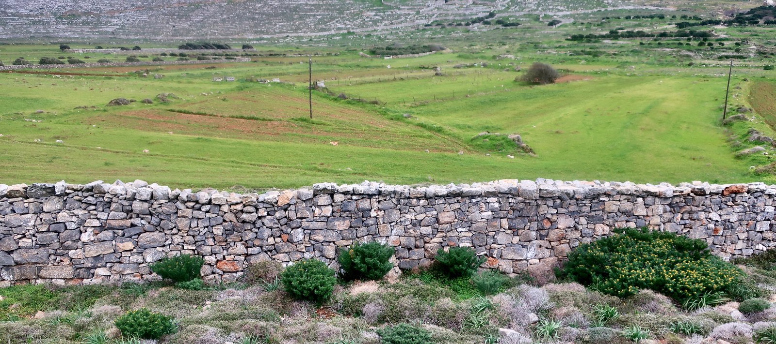
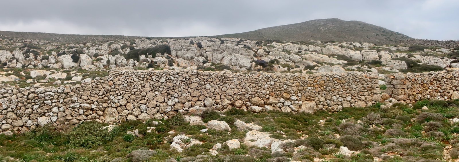
From Poli to Panagia we wandered through mostly unused agricultural land, on and off a path.
The following day, when the lady who came to clean our room asked where we’d been, and we told her Grammata, she said: I’ve never been there. I know it’s beautiful though, I’ve seen it from a boat below. And, wistful, I don’t suppose I’ll ever go now.
Later a man came to fix the oven. He showed us a photo on his phone, of clouds drifting over a road in some barren, godforsaken place. He pointed more closely, wanting us to see. There we were, walking. His was the one vehicle that passed us the previous day. So strange did it seem to him that there were people up there, just strolling around, that he took a photo, as if we were rare animals, unusual migrating birds. We have the impression that everyone on the island knows not only that we’re here, but where we’ve been, what we’ve done.
HIKE 3
From Fry/Panagia to Poli, then back up the dotted trails we had come down on HIKE 2, to the road that runs along the spine of the island. Road/track/path as far as the beginning of Romani Gorge. Down the gorge past Panagia Potamitissa, into Arvanitochori, then west to Ellinokamara Cave and back along the coast to Fry.
About 22 kms.
For the section from Fry/Panagia to Poli, and Poli to the road that runs along the spine of the island, this is the same route as in Hike 2, but in reverse – the same nice path through the ravine leading out of Poli, the same absence of path for the second part, up to the top. Once on the top-road we turned right, southwest, and walked along the road (using corner-cutting paths in these barren highlands where possible – see Terrain Map) as far as the point, not clearly marked but not too difficult to locate, where a dotted path on the Terrain Map dives off to the right down into the Romani Gorge.
The gorge starts off gently in typical gorge fashion, but soon becomes what felt almost gorge-industrial, a broad flat river of stones, with a succession of concrete stone-dams, without the dramatic side-walls that characterise most gorges in the islands.
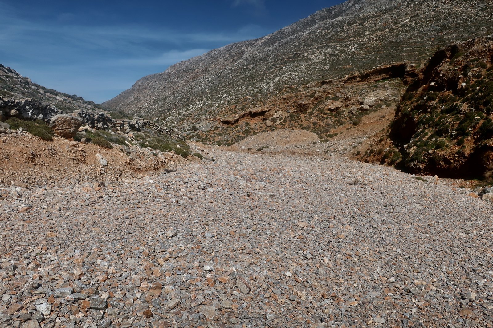
Panagia Potamitissa, halfway down to Arvanitochori, is a small cave church built about fifty metres above and to the right of what is described online as the stream of Skyllas, this gorge that has the morphology of a stream, but the quality of a parched, linear wasteland. The building of the church, really just a couple of walls, white-painted against the brown stone, and an altar, was consequent upon the discovery of an icon of the Virgin at this place in the mid-19th century, they say. According to the story, whenever the icon was taken away from this spot, it miraculously found its way back. Icons in Greece are vectors of magic, lightning rods for miracles.
Arvanitochori has a maritime feel to it. Much of the odd little cemetery appears to be made of marzipan and food-colouring. In general, churches on Kasos tend towards this blue and white, cakey, solidity, with tiered towers.
A ten or fifteen minute walk takes you back to Panagia or Fry. Alternatively, a diversion to Ellinokamara Cave, probably the most common reference when searching Kasos online.
The short, recently done, stone-laid, path up to the cave is extraordinarily unnecessary, a masterwork of misplaced funds. Somehow, perhaps because Kasos appears to have little else of note, the powers-that-be must have been convinced that by investing in such a fine path the tourist industry would be given a jolt. The resulting extravagance brings to mind the museum-to-be at Kastraki on Agathonisi.
At Ellinokamara, a wall of obviously classical stones closes off most of the entrance to the cave, the continuous use of which apparently dates back to Palaeolithic times. It’s a damp, sinister-looking place, much nicer on the outside, where you can admire the walls and sit on the grass in the warmish February sun.
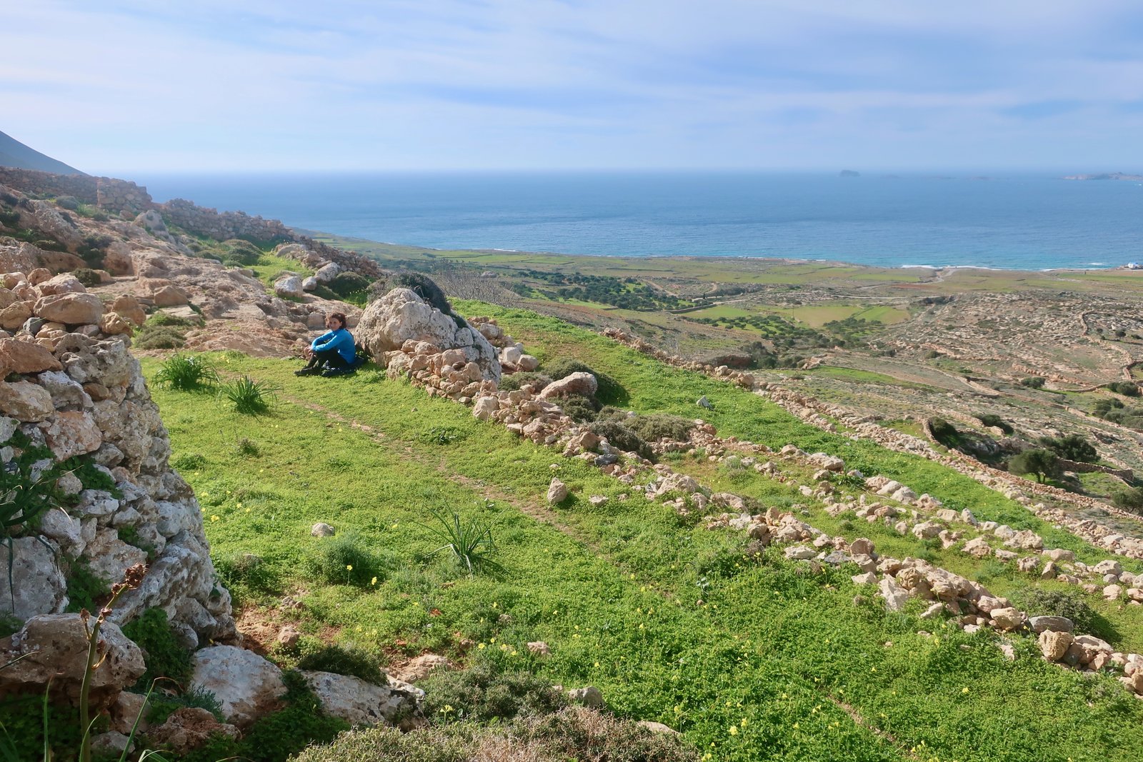
From the cave down to the sea there are various options, and then a walk along the coast, past the crude airport with its rusty fence and so-called terminal and dilapidated airport van, back to Fry.
HIKE 4
East along the northeast coast as far as possible. Back the same way.
About 13/14 kms
The same group of elderly men who wanted to know about our crossing of Armenis Gorge, told us that from the path that goes out along the northeast coast there’s a way to get up to top of the island and Grammata. It’s even on the map – I guess the path on the map is the same path. In whatever form it exists, it goes up and curls around to reach the point at which the main eastern highlands path either goes up to Prionas peak, or back down to Xaralambos. It’s a lightly dotted trail, meaning faint path. We’d seen the top-end start-point when we went to Prionas and Grammata a few days previously on HIKE 2.
As often happens retrospectively, having studied the map and the contour lines, having looked at the photos we took and having pored over Apple Maps, we imagine we know where we went wrong, what we should have done. (There’s every likelihood that this solution we’ve discovered is not a solution at all, but an alternative mistake.)
We went through several shallow ravines, carefully across a couple of shale-slopes, one person at a time, and eventually, just before the point marked Kako Skali (bad steps) came to a large cairn. (There are bad steps on a number of the islands, places where a path passes because there’s no good alternative, but where care has to be taken. Most obvious is Ikaria, the bad step on the crest of the ridge, which we negotiated wrongly before getting about as uncomfortably lost as we ever have been.)
We didn’t find the path up and round. After the track along the coast comes to an end, a clear narrow path continues. The slope is steep, running at a height of about two hundred metres above the sea. In places it is just about at the limit of what is possible to walk on.
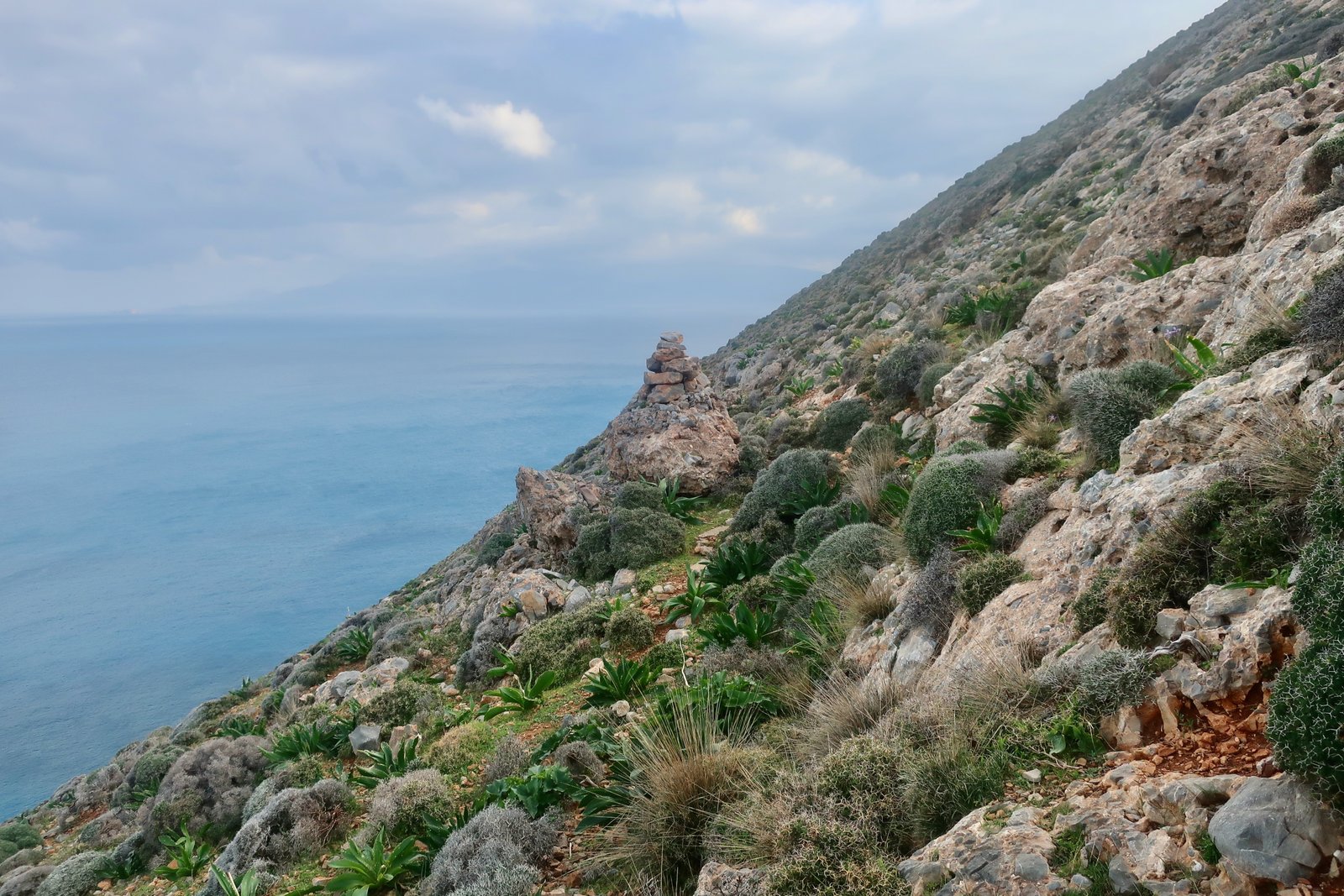
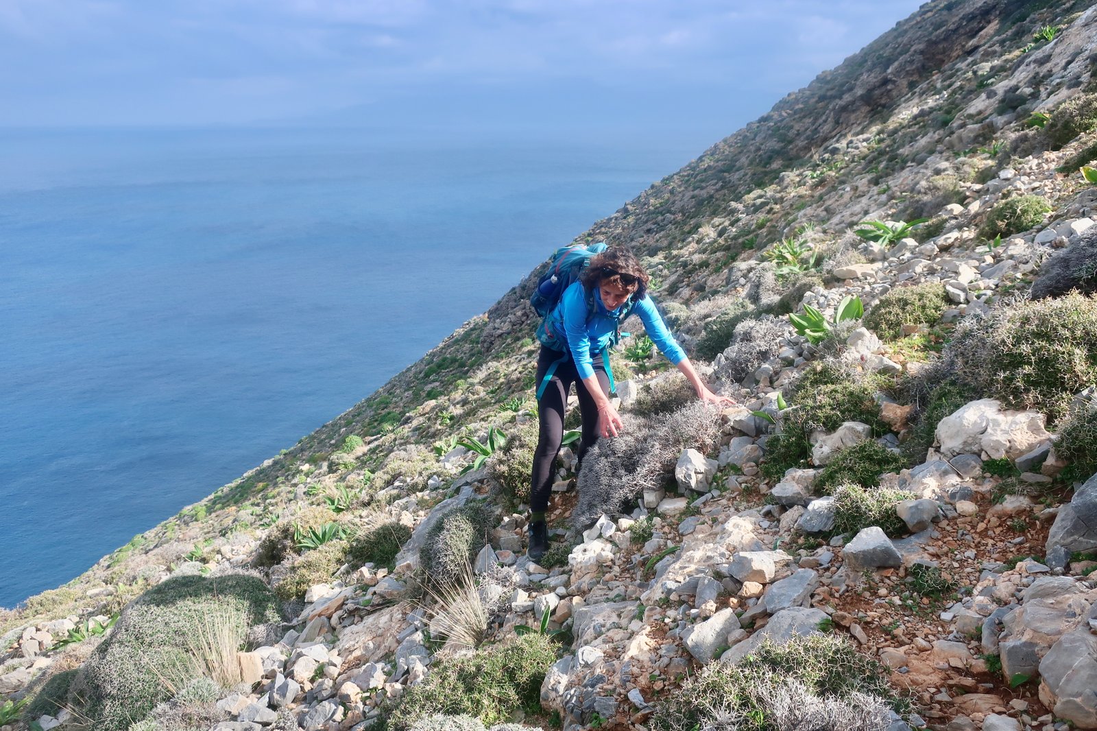
Logic would suggest that the cairn (see photo) marks the point at which the path bends uphill. We tried, scrambling up over uncomfortably steep slopes, and found nothing, no hint of a path. Ahead we could see only further complication. With the wind already gusting quite strongly and still building, and grey clouds sweeping over, we turned back.
I think now we must have gone a little too far along the coastal path before turning up, that the point at which we should have turned was where, a little earlier, I photographed some sheep, glowing in the sunlight. I think. But as suggested earlier, it would hardly be the first time we’ve had retrospective illumination, only to go back and find that for some reason this new way is just as impossible as the way we tried.