No-one comes to Sikinos for the night life. In season there may be music in a bar in the Chora, or sundowners in the port. That’s about it. On neighbouring Ios meanwhile they’re dancing on the beach. Sometimes, depending on the wind, a thudding beat throbs all the way across the water. The Slovenian people upstairs, early to bed with two small children, they hear it more than we do. For them it is a thing, they cuss and roll their eyes. For us, even if we concentrate it’s only a thin vibration.
Ios to the east, with its summer raves. Folegandros to the west, a little gourmet-chic. To the south Santorini, with its millions of visitors. Sikinos, a 1970s sort of place where little happens, is loosely surrounded by versions of the 21st century.
Its first historical mention may have been around 700 BCE, when Solon of Athens said he would rather be someone from Sikinos than fail in his duty to Athens.
It was probably not a party island then either. Solon might have thought Sikinos stuck in the 750s.
Around two hundred and fifty people live permanently on the island, either in Alopronia, the port, or the Chora, the capital up in the hills. In 1834, just after the end of the Greek War of Independence, the population was more than three times as large. Perhaps still more in antiquity. The story is familiar enough: beginning in the 19th century, emigration to mainland Greece or further. Other opportunities. The slow abandonment of agriculture. And then this breakneck summer season tourism-surge that has upended everything.
In the port there’s one taverna, one café, one hotel with a modest restaurant. There’s one small minimarket near the jetty, where most summer days deliveries pile up. They come in on the ferry, the job of unpacking is never-ending, a quirky modern take on the archetypal Greek myths of eternal punishment. As soon as they’re more or less cleared, another ferry has arrived with its predictable range of fruit and vegetables and all the other various small-island staples.
The beach in Alopronia is shallow until well out, family-friendly in summer, undisturbed until a ferry comes. Then a crowd gathers on the dock. Mostly youngsters of all ages, but also some roguish older men. They watch the manoeuvring and tying-up process, staying clear of the one or two slightly puffed-up, important port officials, who try to impose authority, Stay back stay back. The crowd, skittish as racehorses, watch the disembarkation and embarkation and then, as the metal ramp is cranked up, the dripping hawsers dragged in and the boat pulls away, they suddenly dash forwards, dodge past the helpless officials and throw themselves into the water that between the stern of the boat and the dock is seething, convulsed, milky-blue. The force of water hitting the dock spews them out to the side as if they were on a great funfair-ride. It lasts no more than a minute of screams and howls before the water calms, the boat disappears and the participants make their way to the rocks beyond the jetty. They scramble ashore and stroll back to the beach in a wave of conviviality, arms draped around each other’s shoulders. Quiet little Sikinos is the only island on which we’ve seen this lawless ritual.
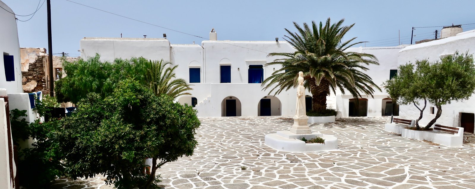
The Chora is more like two villages than one. Its two halves, Pano Chorio and the Kastro, are like an embryo stretching apart, thin in the middle but not yet snapped. The two neighbourhoods stare at each other from shallow facing slopes. The Kastro was the original capital, fortified against pirate raids. When the pirate threat faded it spread, residentially, onto the adjacent hill. Pano Chorio is a little prettier, it has elegant homes with gardens, vine and fig and pomegranate, but zero commerce. The Kastro has a bar or two, the island’s bakery, a Mexican-style central square.
Up above the Kastro on the ridge at the end of a zigzagging stone path is the Zoodochos Pigi monastery. One nun lives there – we have seen versions of her on other islands where the monastic presence has become equally thin, the lonely tenants often seeming these days more like tour-guide and small business person than anchorite. On Sikinos she sells home-made jams – lotus, fig, prickly pear, the latter spattered with tiny black seeds as hard and inedible as stones. She makes liqueurs of local produce, sells Bio Oil For The Problem of the Hairy Skin, and will talk about her life, her solitary independence and what it’s like in winter, busy producing for the summer to come. Sometimes it snows, she says, aware that snow here is a novelty. And There is never enough time.
The monastery sits at an altitude of 370 metres. Only 370 metres, but where it is, perched on the edge of the cliff, its outer walls battered by the north wind, it is as if it is in the sky, of the sky.

In May we stayed in the port and watched diggers shovelling sand from the rough car park behind the seafront back onto the beach. As if every year during the winter the sand edges its way inland, which perhaps it does, metre by metre, so that before the season it has to be pushed back to the water’s-edge. Not able to sleep we were up at 04:50 sitting on the terrace of our little apartment, the barest chill in the air, looking down over the midnight blue of the port.
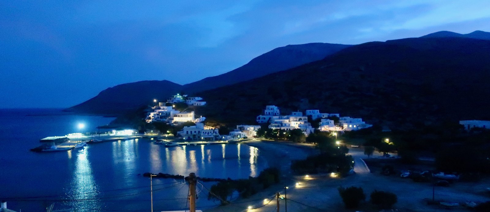
This is one of the most beautiful places we’ve ever been, we said, not for the first time.
One August we stayed just outside the port along the coast where there is a short, steep path down to a cove of flat rocks, where we would swim in the morning. Later in the day the rocks were so hot that sitting on them was like being on a hamman slab. Sometimes, early, a fisherman would come and prise limpets from the rocks with a blunt knife. He would show us his bucketful, insisting on naming them for us, πε-τα-λίδα (pedaleetha). From time to time a mysterious small tsunami rose up from the ocean and swilled its way around the cove, forcing the fisherman to jump onto his boat to save it from banging heavily against the rocks.
I wouldn’t eat them, said the woman we were staying with. We wondered later was it limpets in general she couldn’t sanction, or just these limpets, from down there, somehow her knowledge of their provenance making them unclean.
She gave us cucumbers from her garden, which we took for courgettes and made into risotto.
She said that until he was ten years old her husband went to school three days a week, as did his brother, alternating. Someone had to look after the goats. After that there was no school at all.
In her Greek-American English she said shoor we did, or shoor I do, and y’know. With a hoot she said Nah, it’s a queue-cumber, a Sikinos queue-cumber, not a zu-cchini. You put it in a ri-zotto? All up and down stressing, exaggerated.
She insisted that the body they found at Episkopi was intact, that the flesh had not putrefied. She said it was because of the seal around the airless stone hole in which it lay, but there were hints of magic in her words.
Episkopi is the most important monument on Sikinos. It was built in the 3rd century CE as a Roman mausoleum. Several hundred years later under the Byzantines it was repurposed as a church. Later, during the middle ages and in the modern period more transformations took place. It has survived at least two major earthquakes, though not without significant damage – the two major columns now bricked into the front wall are drunken still. Internet history sites have taken to calling it a palimpsest, something constructed by the accretion of layer upon layer. It is the obvious visibility of these layers at Episkopi that excites historians. But all the Greek islands are a palimpsest, a succession of civilisations having left marks all over them, so much of it still visible, petrified by the blinding sun.
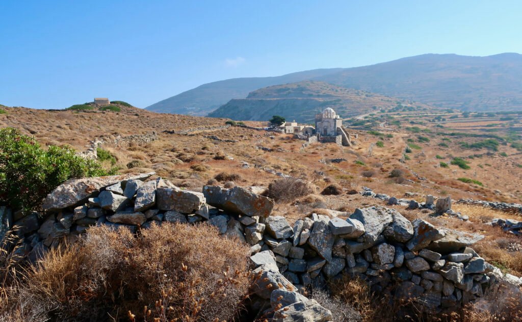
In 2016, with the building on the verge of collapse, the Greek Society for the Environment and Cultural Heritage set about restoring Episkopi. The work was completed in 2022 and the monument reopened to the public.
It was during the restoration process that the secret tomb was discovered hidden within its walls. It had remained untouched for 1800 years. A funerary epigram said the body inside belonged to a local noblewoman, and that her name was Neiko. Around her neck lay a gold chain. Alongside were golden wristbands, rings, and various other artefacts.
According to The Museum of Cycladic Art in Athens, the burial is considered deviant, as it differs from the standard funerary traditions of the time, combining magical-religious practices aiming to appease “evil” forces.
Her hands had been tied behind her back. Both legs had been broken. She had been hit around the head. It is not known if she was alive when this violence was inflicted, or if it was rather a defilement of her corpse. Magical materials were placed on her chest – tar and brimstone. The islanders then sealed the body away for all eternity.
HIKING
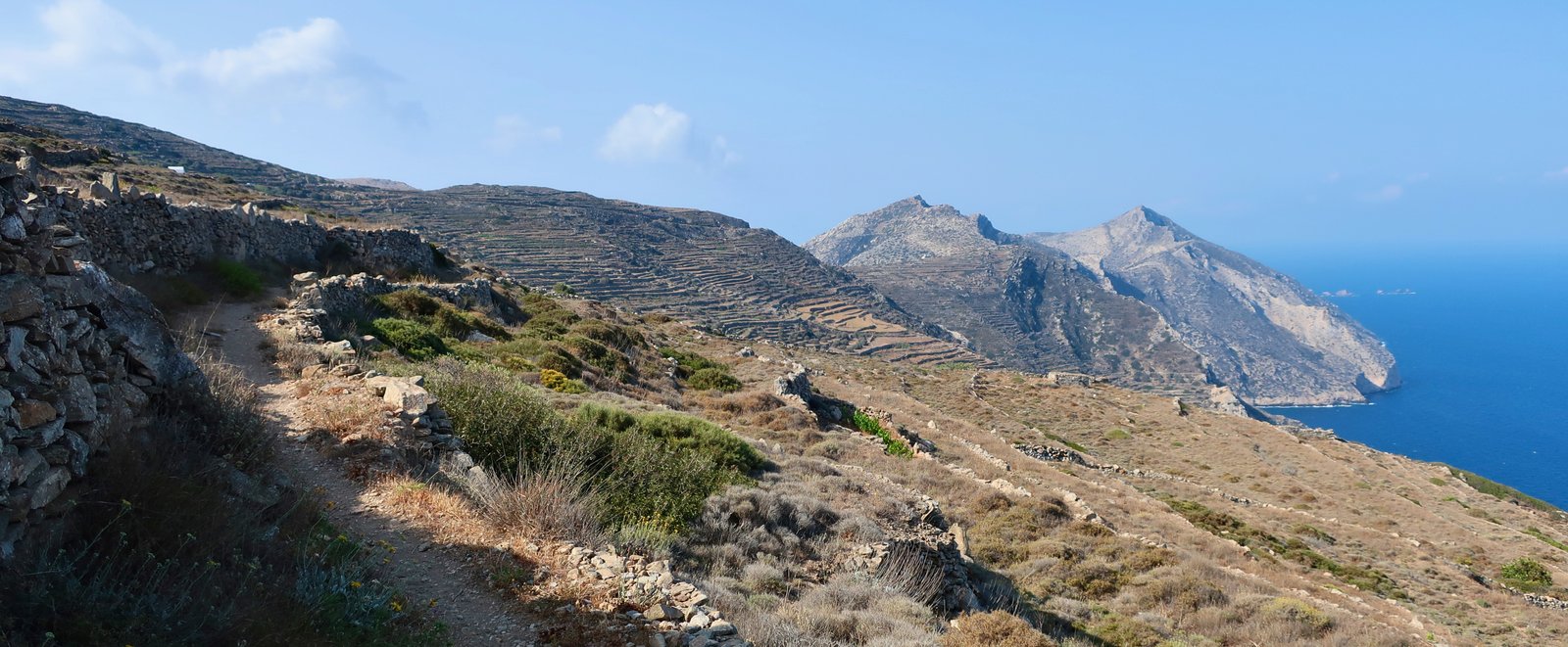
Not only have we rarely been given as much local hiking advice as we were given on Sikinos – the patterns of the old paths are so far along the way to being forgotten that walking them is no longer a shared experience but a curiosity – it has also rarely been as generally unreliable.
When, one windy morning, we first tried to take the coastal path east under the Chora (Trail 04 on the Terrain Map), a local woman practically stepped in our way just as we were setting off. Where? Agia Fotini? You can’t do that, not in this weather. It’s not safe.
The Terrain Map too urges caution. On the map there are four hazard warning signs along its length. We have never seen so many on one path. We backed off. When on a later visit we eventually did this Trail we were bemused: at no point is there a degree of danger that would merit even one warning.
We talked to a lady in a café in the Chora, who looked at our proposed route to Malta Beach and on and said, I’ve hiked all over the island, you can’t go that way from the beach, the path has gone. She told us of some friends who tried but had had to turn back – The terrain is impassable, she said, they were torn to ribbons by the undergrowth. You should have seen their legs. She made it seem as if the land itself had agency. We have since done this path. The signing is inadequate, non-existent in places, but it passes through relatively straightforward terrain where it is easy to approximate a route.
She said, You came up past Agios Nikolaos? How did you do that? There’s no path. Hmmm, she added, I’ll try it. (The path is marked on the Terrain Map.)
On another occasion, a man who had seen our backpacks and hiking shoes and wanted to talk, said No, no, you can’t go to the church of Agios Spiridonas out on the western end, there’s no way through any more.
But we did go and the path we found is sometimes there and sometimes not but no worse than many island paths.
However, he said, there’s another path you might do, just at this point here – he tapped his index finger on our map – you can go down, it’s marked. Be careful but yes, no problem.
This path when we found it goes over a cliff-edge. It is so terrifying I’m not even going to say where it is. There is a mortal drop of at least 200 metres. Even if there appear to be splashes of paint to mark the way, it is not a hiking trail but a place you might go with equipment and a climber’s head for heights.
Such an odd gathering of misdirection, of misguided guidance. I can’t explain it. It makes Sikinos seem a problem, but Sikinos really is not, it is an excellent-for-hiking little Greek island, a mini classic for those not bothered by, who may even approve of, a generalised absence of something like glamour. It is one of the smaller islands but somehow it feels like the paths were built for bigger people. Built by bigger people. It’s paradoxical. There’s something giant-like about Sikinos.
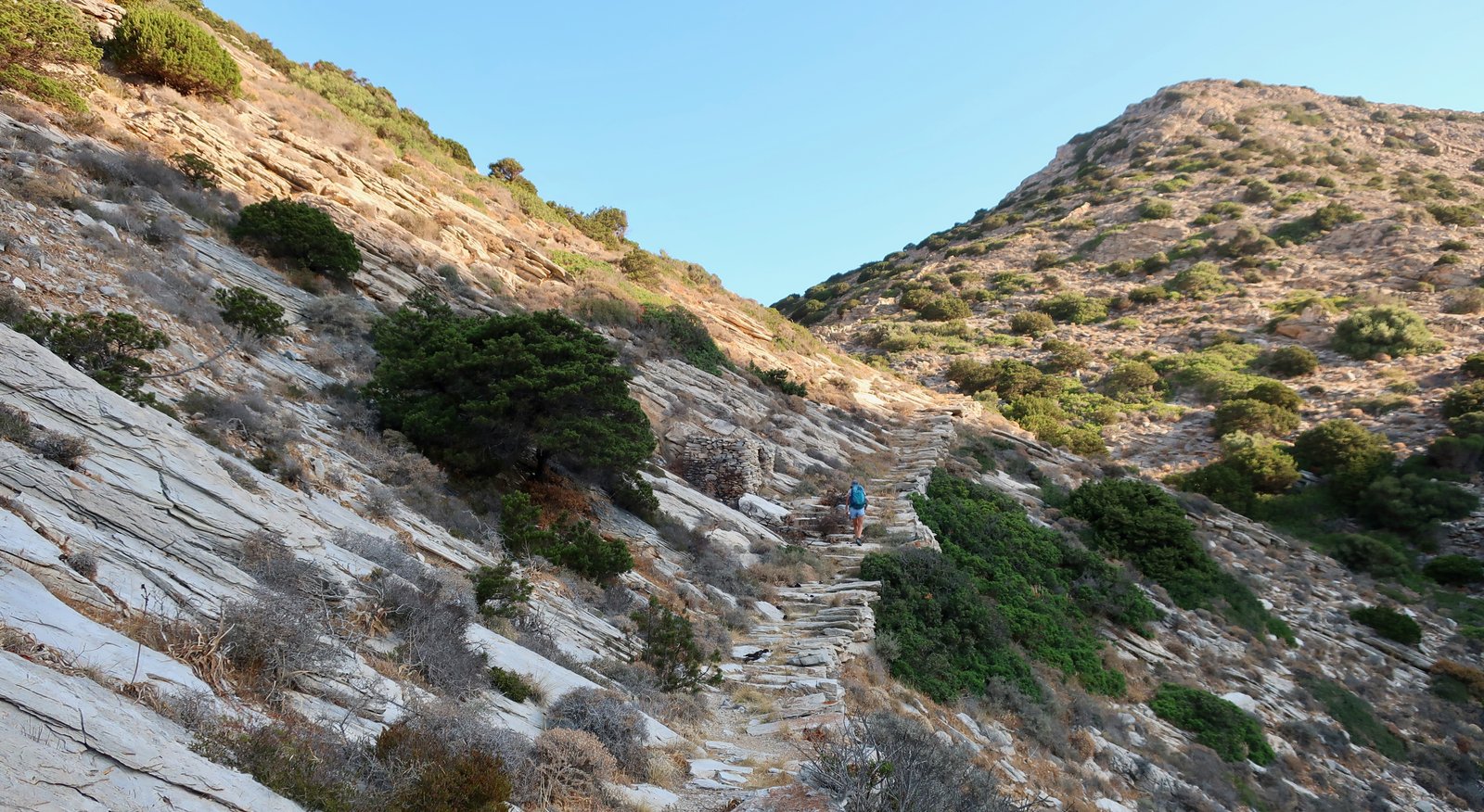
There is a reasonably well-marked network of paths. In both the Chora and the port, noticeboards show 7 separate hiking routes for 56 kms – although the numbers don’t correspond to the numbers of the paths on the Terrain Map, with its 10 Trails for an approximate total length of 65 kms. This on an island with less than 20 kilometres of asphalt road.
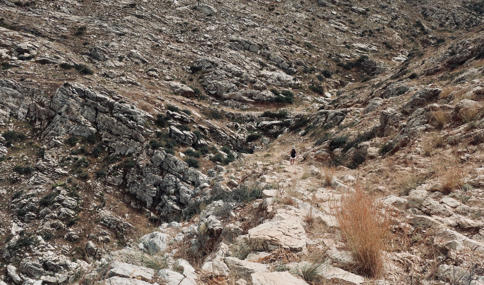
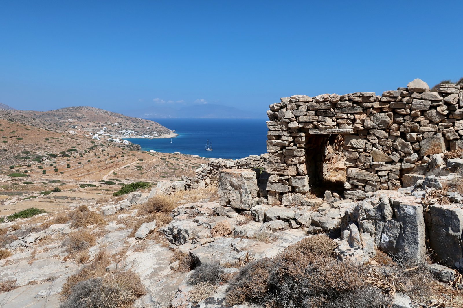
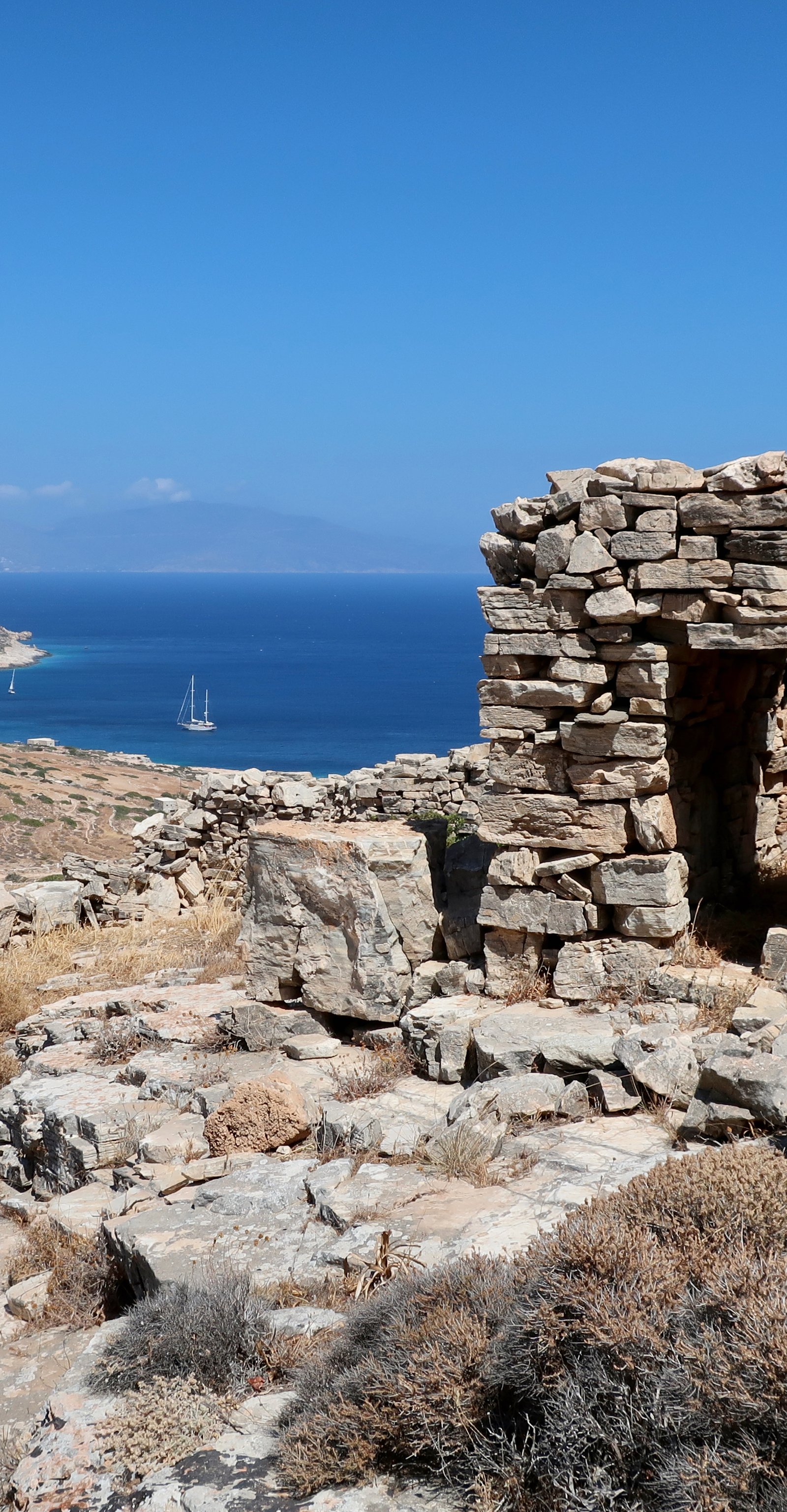
The high-point is only 522 metres, but there is an impression of grandeur. The terrain is dramatic. Precipitous slopes plunge into the sea. Almost the whole island is empty of habitation. What is left outside the two settlements – the scarred land, the desolate churches, the paths – is a remainder, a reminder of how it used to be when all these islands were autonomous little kingdoms, not open-air museums through which visitors can self-guide themselves through the palimpsest of Aegean history, and annually, briefly, playgrounds for visitors wanting sunshine, clear, warm water, and some popularly distilled essence of Greekness.
***
Because we have only stayed in the port, the following hikes all begin and end there. But it would be just as easy to hike from the Chora (Pano Chorio/the Kastro).
The Trail numbers cited in the following hikes correspond to the Terrain Map trails, not the municipal notice board/Paths of Culture numbers.
HIKE 1
Trail 09 out of Alopronia until turning off for Agios Nikolaos. Up to Agios Nikolaos. Then to the Chora on a dotted, unnumbered path. From the Chora: Trail 04 east along the coast to Agia Fotini, then up to the ridge. Back in the direction of the Chora as far as Agios Charalambos, and from there down the main hiking path to Alopronia.
Approx 20 kms
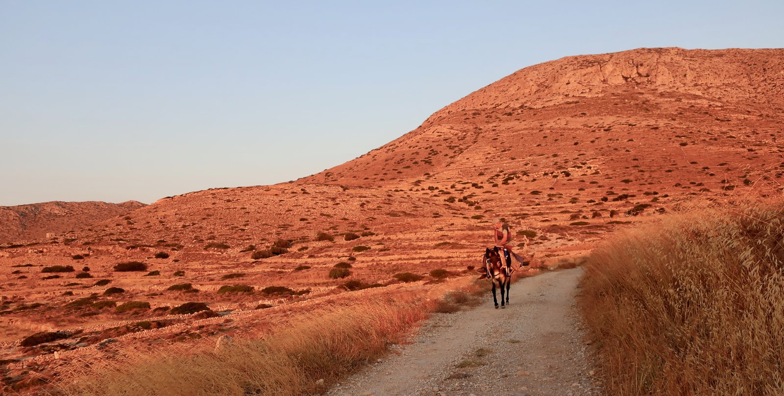
Left home at 06:35. An orange morning sun just sneaking over the hills to the east, setting a touchstick to the dry straw-grass, the fields, the hills, the old Greek farmer coming towards us on his donkey. Where are you going? he asked. When I told him the Chora via Agios Nikolaos, he thought about it. It’s a long way, he said. And then, It’s hot. We smiled and said we’d be okay. He shrugged. What can foreigners possibly know about heat? Have you got water? We said we had lots and he accepted that. Off he plodded, his shoulders bent over in the customary slumped shape of old donkey riders
Very soon after Trail 09 proper begins – it shoots out from the end of the rubble lane that runs west out of Alopronia – we turned off-trail to the right, inland and up towards Agios Nikolaos. The actual turn-off point is unmarked, but within 100 metres of Trail 09, a couple of old stone buildings between which the trail passes, (see map) show the way. When it reaches the cleft of the valley and curves around to the right the path becomes easier to follow, partially paved in stone.
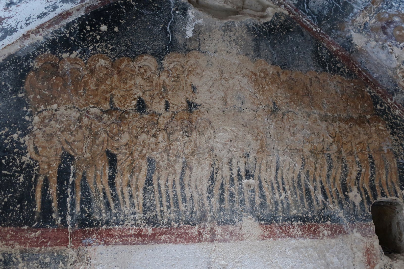
Early summer morning warm sunshine was lathered over the hilltop, thickly pasted over the exterior of the church. Inside, cool and gloomy, these days more stable than church, a shivering crowd of naked sinners await judgement.
The old agricultural terraces between Agios Nikolaos and the Chora are unworked now. There are crisp sticks of asphodel. There is vicious spiny spurge. For most of the way mastic bushes are the only sign of vibrancy in a bone-dry landscape. A little before the Chora, the first figs.
The lower half of this section is not very well-defined. The second part, up to the Kastro, is on a good cobbled path.
Trail 04 from the Kastro to Agia Fotini, that we had been warned off several years previously, traverses steep, scalloped slopes towards the northeast of the island. It is easy to follow, roughly level at about 100 metres above the sea, with views west to northeast over a wide quadrant of islands from Kimolos to Naxos. In a wet corner of the path where there had once been a garden, we had to tramp our way through vines that have spread over the path, and lean out from the path to pick figs from the top branches of a tree growing up from slightly lower on the hillside.
At the eastern end of this Trail, the chapel of Agia Fotini is another small outpost left high and dry by the shrinkage of practical land in the islands.
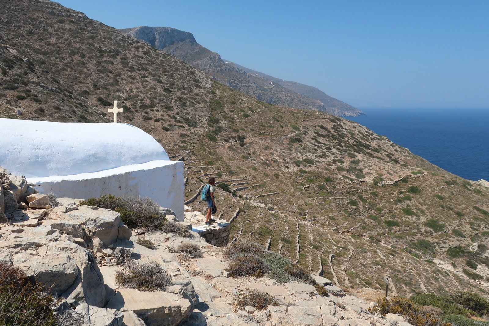
The way up from the Agia Fotini is badly-marked, not easy to follow, a little slow, but only 500m or 600m as the crow flies.
Once on the ridge, a dirt track leads west to the main asphalt road, and then to the church of Agios Charalambos. Very soon after this a clear turn off to the left turns into a stone-laid path running downhill through a small valley. A kilometre or so later this feeds into the main trail that used to go from Alopronia to the Kastro, passing by Pyrghari. We picked more figs along this path from more trees that no-one visits any more, much of the fruit past its best, hanging splayed open on the tree like gaping fat magenta mouths.
HIKE 2
Alopronia to Aghios Panteleimonas and Episkopi on the 09. Episkopi to Aghia Marina, Aghios Spiridonas on the 08. Back the same way on the 08 to the junction of the 08 and 08/07, briefly on the 07 to Manalis Well, then the 09 back to Alopronia.
Approx 26 – 28kms
Another early summer morning start, wanting to avoid the heat of mid-afternoon, another thick and deep orange world heading west out of Alopronia on Trail 09.
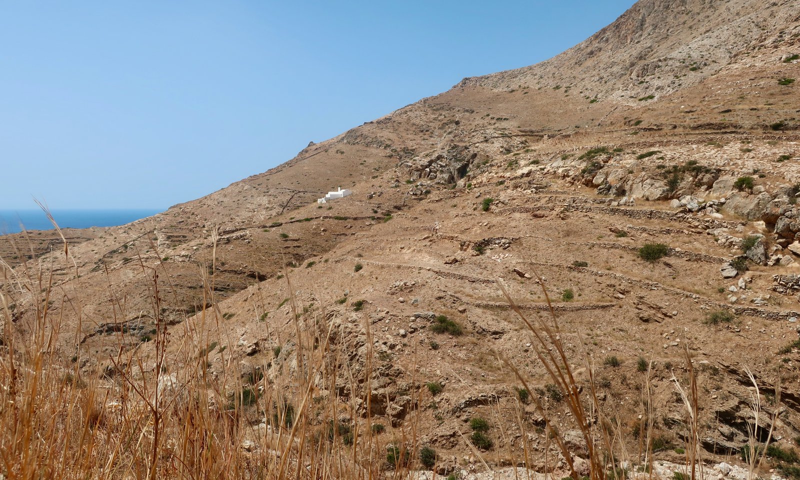
Less than an hour after setting off the path reaches the church of Agios Panteleimonas. It sits low on the western side of a north/south valley scoured with old terraces. Agios Panteleimon comes and goes before we actually get there, appearing and disappearing like a ship in an ocean swell until we crest the last ridge, come around the last corner, and there it is. For no discernible reason it has become a reference point for us, an archetype of all the isolated churches in the islands that once consecrated the physical boundaries of the islanders’ lives, Christianized the landscape, offering shelter during working lives out in the terraces and fields away from the centres of population.
Agios Panteleimonas sits at the junction-point of three paths, the one we came on from Alopronia, a second to the Chora, the third that heads west around the coast before turning north towards Episkopi.
Trail 09 continues south and around into the next coastal valley, a wonderful hidden place with a garden of terraces going almost down to the sea now strewn with a chaos of giant boulders that have tumbled down onto them. This path must once have been fully stone-laid. Now there are sections of stone and dirt.
At Manalis Well there is another 3-way junction, less well-defined than the junction just before Agios Panteleimonas. The main branch, marked on the Terrain Map as the 07/08 and 09, takes a right-hand bend then goes north towards Epsikopi, one section a giant stone stairway cut into the flank of the hill. For 1500 years Episkopi has been the focal point for religious worship on the island. It is the heart of Sikinos.
It is worth opening a good satellite map of Sikinos to view the terracing. Around Episkopi – the land just below, south, of the church appears to be pooling, curved level by curved level. It might be the muddy layers of rice paddies. Looking further, in a wide swathe stretching all the way to the Chora, five kilometres long and up to two kilometres wide, the island has been sliced into terraces. Every single slope and valley was once worked, all the way down to the sea. The labour of cutting it into terraces flat enough for agricultural usage, and shoring it all up with stone walls to maintain it, is incomprehensible.
The small church of Agia Marina is perched on the high-point of the hill just to the south of Episkopi. Around it are some sparse ruins of the ancient city of Sikinos, hard to even find now, mostly foundations of temples and fortress walls.
Just a few metres before Agia Marina, an unlikely path curls down and to the right (when heading towards the church), to circumnavigate at a lower level the pinnacle and come out just to the south of, and below, the church. There’s a hazard warning sign on the Terrain Map, this time not entirely unreasonable since the terrain drops off steeply below the path, and the path, when we were there at least, was the only place during the whole, hot, day, which was damp, and slippery.
The continuation of the 07/08 is not really marked, just a few cairns until it meets the junction point of the 07 and 08. (Even the junction is not clear.) Using the map and the contour lines and several small buildings, we got ourelves to Tyri, and from there to Agios Spiridonas.
The section of the 08 between Tyri and Agios Spiridonas is marked by a multitude of red or brown, black or grey arrows, a little confusing, better than nothing at all. Agios Spiridonas is yet another of Sikinos’ liminal churches. There is nothing left around it but a few terraces and a couple of almond trees to suggest that this was ever a place connected to anything but the harsh landscape in which it now sits.
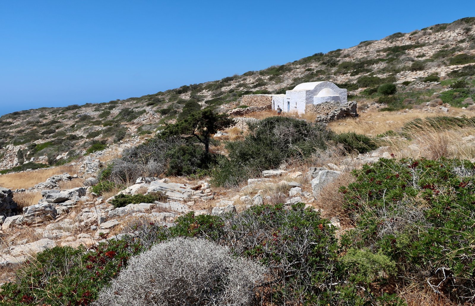
From Agios Spiridonas we turned around and went back the same way we had come. On the Terrain Map however the 08 continues, marked as faint, all the way to Agios Ioannis on the coast and back up to Manalis Well. I have no idea if this is possible. There are three hazard warning marks on the map. It was a very, very hot day and we had no time to go exploring.
Even getting to Manalis Well from Tyri is not easy. There is a joining section of the 07 also marked as faint, which is narrow, badly-marked and spiky.
From Manalis Well back to Alopronia the same way we had come. Since, as we’ve mentioned elsewhere, a path in one direction generally bears surprisingly little relation to the same path in the other direction, this didn’t feel like repetition.
HIKE 3
Alopronia in the direction of the Chora on Trail 03 – the reverse of the end of HIKE 1 – as far as the church of Aghios Charalambos. Dirt track east, past Profitis Ilias onto the beginning of Trail 02 to Malta Beach. From Malta Beach Trail 02 to its end at Agios Nikolaos, then dirt track again back to Alopronia.
18 – 20 kms
Like so much of the island, the highlands around Profitis Ilias were intensely cultivated in the past. These days there are some small vineyards and little else. Before Sikinos was Sikinos it was called Oenoe, Wine Island, famed in antiquity for its strong wines. On the double-peaked hill just above Malta Bay, long before the classical city above Episkopi existed there was a city called Oinos, now Palaiokastro (old or ancient fortress – there are Palaiokastros all over the islands). It was founded somewhere between 3000 and 2000 years BCE. The site was exposed to the elements, on a precipitous ridge from where the surrounding sea could be scanned for danger, chosen solely for its impregnability. City, as often in such places, is misleading. Settlement. Refuge. It is difficult to imagine there can have been any comfort here.
Ancient Sikinos above Episkopi wasn’t founded until probably around 500 BCE. Life in this dire place above Malta Beach, life rock-hard, sunburnt, windblown and short, continued unchanging for perhaps 2000 years. Even in modern historical terms, such a period is hard to understand. In the context of ancient Oinos, pre-literate, isolated, 2000 years is an infinity.
The trail, hardly a trail, more a waymarked direction, flows easily from Profitis Ilias down to Malta Beach. From the land, the only way in is on foot. In summer a few boats may come. At any other time of year the chance of meeting someone else is minimal.
The next section of trail, still in theory Terrain Map’s 02, is the tricky section we had been warned about. The problem is not unique to Sikinos. So much island terrain is covered with low spiky growth. You have to experience it to understand how difficult it can be. But even where the so-called path is not really a path at all, there is usually a way through. We tiptoe between spiky traps, we hop from rock to rock, sometimes we are goats and high-step carefully along the tops of old drystone walls.
Here there are clues. The map has contour lines, direction, the course of seasonal, very occasional streams, and several clusters of old buildings. A number of threshing floors are even marked. In the final descent to Agios Georgios beach there are cairns to follow. The whole, here, not even 2.5 kilometres, is a game. There is no technical difficulty, just a little care and logic.
Agios Georgios is probably the best beach on the island. There is a seasonal taverna. By the time we arrived at 11:30 on an early August morning, a couple of dozen people had come by bus or boat.
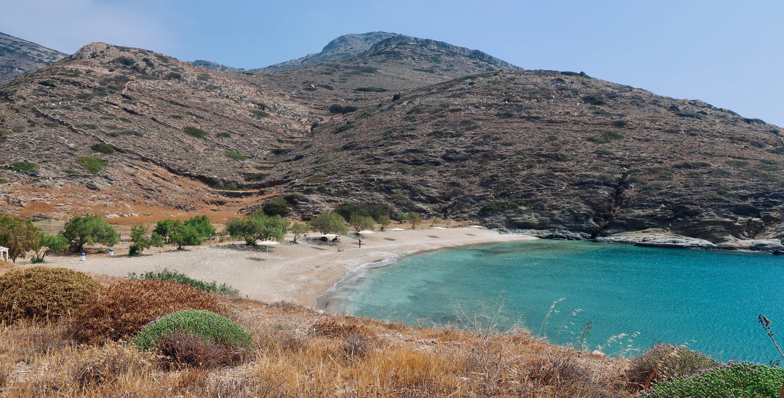
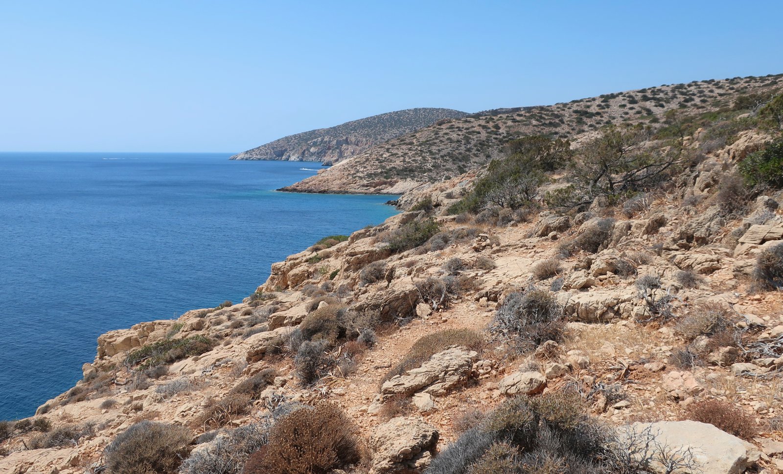
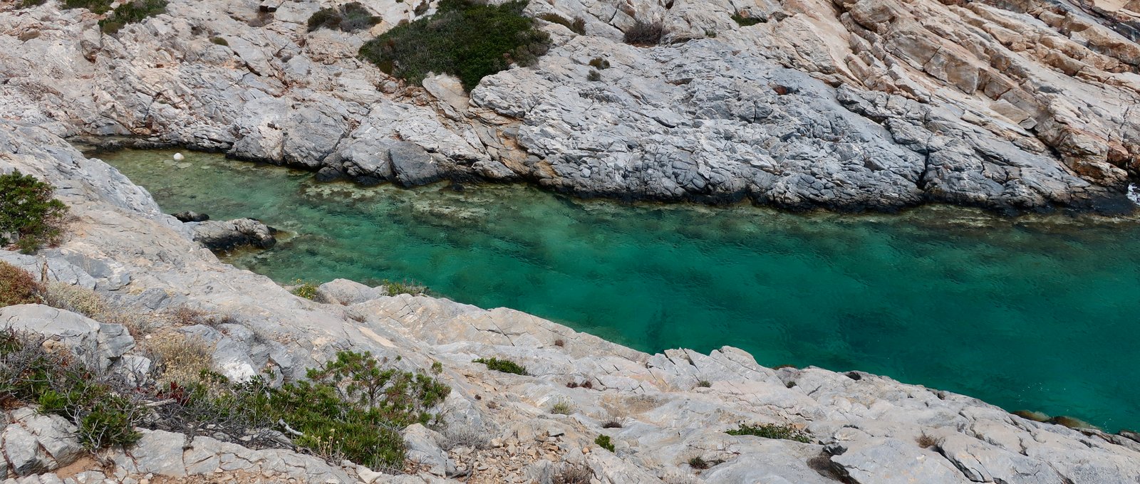
From Agios Georgios an easily-followable cairn-marked route hugs the coast as far as Agios Nikolaos, past a number of quiet, rocky swim places, and from there a dirt track stroll back to Alopronia.
Looking down on the town beach – to some extent looking down on all beaches from distance, particularly if the beach shallows slowly – the whole scene appears to be frozen. It’s a diorama, an artwork, overwhelming blue splashed with points of colour. Tiny models of people sit on inflatable rings. They stand in the water like airfix statues, with their hands in the air, or pushing at a ball. Painted heads bob above the water.
When we get closer, at some invisible point – perhaps we always miss this point – there is suddenly movement and noise, shouting and splashing and playing and bobbing, as if the world has been unfrozen.
HIKE 4
From Alopronia to Kastro via the ‘middle path’ that turns to the right just before Panagia Sykia, and joins the end of the trail coming from Agios Nikoloas (see Hike 1) just before the Chora. Departed the Chora on Trail 04 and turned very soon to the left. Agios Antonios. Panagia Sto Nisi on the 06w. From there straight up the slope to the junction point of the 06, 06s and 06w. Episkopi. Trail 05 to Aghias Mamas and all the way into Pano Chorio. Trail 10 almost as far as Agios Panteleimonas, then Trail 09 back to Alopronia.
Approx 27 kms, with diversions etc
Another alternative route between Alopronia and the Chora. The turn-off just before Panaghia Sykia is marked by a cairn. After that, this first section between two dirt roads is faint, but easy to follow. After crossing the second dirt track (see map), it becomes clearer, until it flows into the main stone-laid path we had previously taken up from Agios Nikolaos.
The beginning of Trail 04, the same as in HIKE 1, but instead of turning to the right, we turned left in the direction of Agios Antonios on the lowest of the several dotted paths marked on the Terrain Map. The slopes here were once densely cultivated, meshed with paths and dotted with tiny churches. In the old agricultural world there would have been permanent activity, men going in both directions, working the terraces. When we were there one small olive grove was still being looked after. Nothing else. It has been estimated that 70% – 80% of all the cultivated terraces in the islands were dedicated to the cultivation of cereals. From time to time, on some islands, we still come across terraces on which food is being grown, but these days functional terraces that are not planted with olive trees are almost exclusively kitchen gardens. I don’t think we have ever, anywhere in the islands, seen cereals being grown. How it must have looked, whole hillsides in late spring the colour of honey and moving like the sea, as if the islands themselves were fluid things.
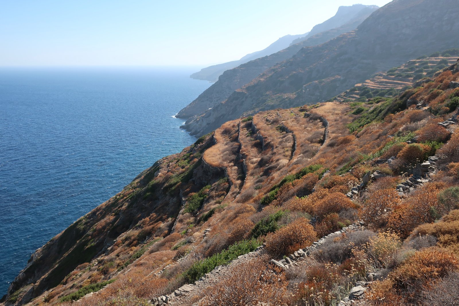
The path is good at first, on and off paved, much of it between guiding walls. After passing through the olive grove it weakens, so that sometimes the instead of a true path the way goes along the edge of terrace-tops.
Agios Antonios sits in a sea of high grass. No one goes there now. In time water will find its way through the roof and it will come down bit by bit. We have seen these country chapels in every conceivable state of decay, from unmaintained but solid, to piles of stones with only the rough outline remaining.

Breakfast in the tiny courtyard in front of the building, into which assorted grasses and thistles are encroaching.
Rather than turn back and up on a relatively clear trail, we went straight ahead on the faint path that eventually leads to Panghia Sto Nisi, marked the 06w on the Terrain Map. About 500 metres of wading across terraces with no easy way to go until this un-path melds into a stronger trail. Mastic is the most invasive of the plants, but also great nests of wild asparagus, grasses, thyme and all the various spiky spurges and burnets that scrape and puncture bare legs. Extant stone sections come and go.
The valley around Panaghia Sto Nisi is sheltered from the north wind and has enough buildings, most now in ruin, to suggest that it was the most important satellite settlement on this side of the island. One or two buildings look like they may even still have seasonal usage.
According to the Terrain Map, Trail 06w should go up the slopes in a more or less straight line until it meets the 06. On a satellite image it’s quite clear, between parallel stone walls most of the way. It is impassable. It took us two hours to do this short section, less than a kilometre. We walked in and out of the old path, alongside where possible, on the walls if there was no other way. It is very difficult and some of the spikes here are terrible, the sort that ring the towers of sleeping princesses in fairy tales. It was almost funny, trying to get up here, it was so bad.
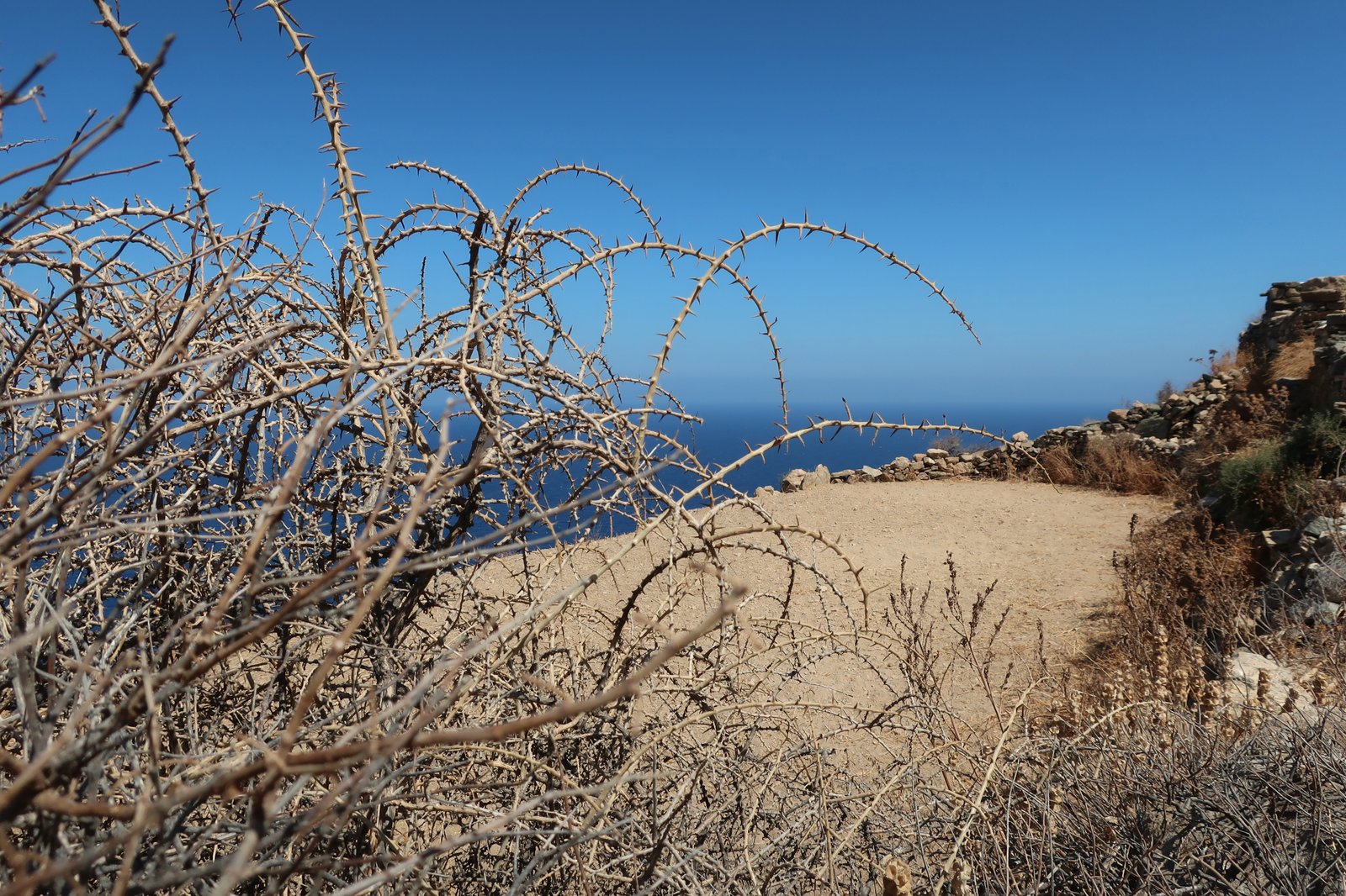
I don’t know what to suggest as an alternative. The path to Panaghia sto Nisi is lovely, and worth doing, as is all this side of the island. It would be possible to double back as far as the 06s, and then come back from there towards Episkopi. Not ideal though, because of the extra length. On the other hand, doing it this way would give an even more comprehensive idea of these old agricultural paths.
Having reached the 06, suddenly it is as if the world has opened up again.
Coffee at Episkopi. From there up to Aghias Mamas on Trail 05 there are various alternatives and no waymarkings.
After Aghias Mamas Trail 05 leads all the way to Pano Chorio, sometimes a clear rut between stone walls, sometimes a thin, dirt footpath.
Along the way:
Small white churches, again. As if they were the vectors of an invisible network that once maintained the integrity of the island. As many of them have now been, or are in the process of being abandoned, most of the island has seceded from the whole, leaving a rump around the port and the Chora, some beaches, Episkopi, the monastery.
A lemon tree planted inside the circular base of a ruined, topless windmill. It fills the space completely, width and height. A small door in the windmill wall hangs on rusty hinges, held closed by a rusty padlock. Fat lemons on the tree. Beside the windmill is a threshing circle. The whole thing is a marvel. An image from a story book.
Untended vines from which we picked a bunch of warm, sweet-as-honey black grapes, that in the evening we ate with thick yoghurt sprinkled with walnut pieces.
A lovely old well in a small olive grove, the water only a few metres down even in the heat of midsummer.
Fig trees everywhere among the ruins of the top of Pano Chorio, which was once much bigger. They grow in all the cracks, on steps, in the open-to-the-sky rooms of old houses.
Threshing circles right here where people used to live. They worked the cereals just outside their homes.
A wide stone path pours through the top of the village, still in good condition.
Such a late lunch even for us, overhung by pine and eucalyptus in the shady courtyard of a church.
To Agios Panteleimonas on Terrain Map Trail 10, marked 07 on the ground. Another great stone pathway through stark hills, before dropping into a gorge, where the path is less distinct. A couple we once met at Agios Panteleimonas, they had just come down this, It’s hell, she said.
We think it lovely.
Turned left just before the church for an easy stroll home that we have done many times now. A French guy in the apartment next to ours, he comes here in the morning, either a jog, or sometimes barefoot. I have no idea whether he’s toughening up for some competition, or is seeking absolution for some real or imagined transgression.
***