
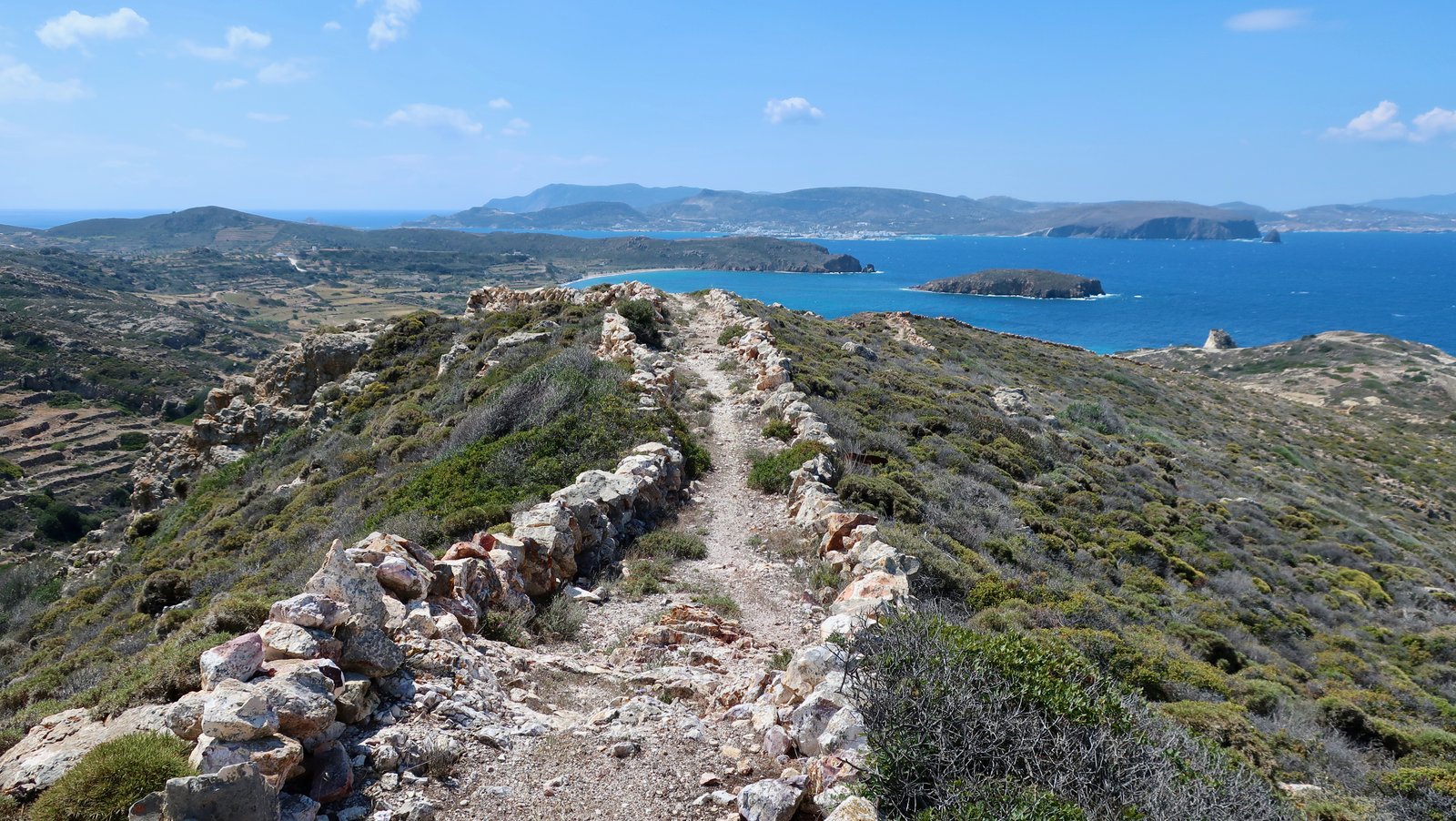
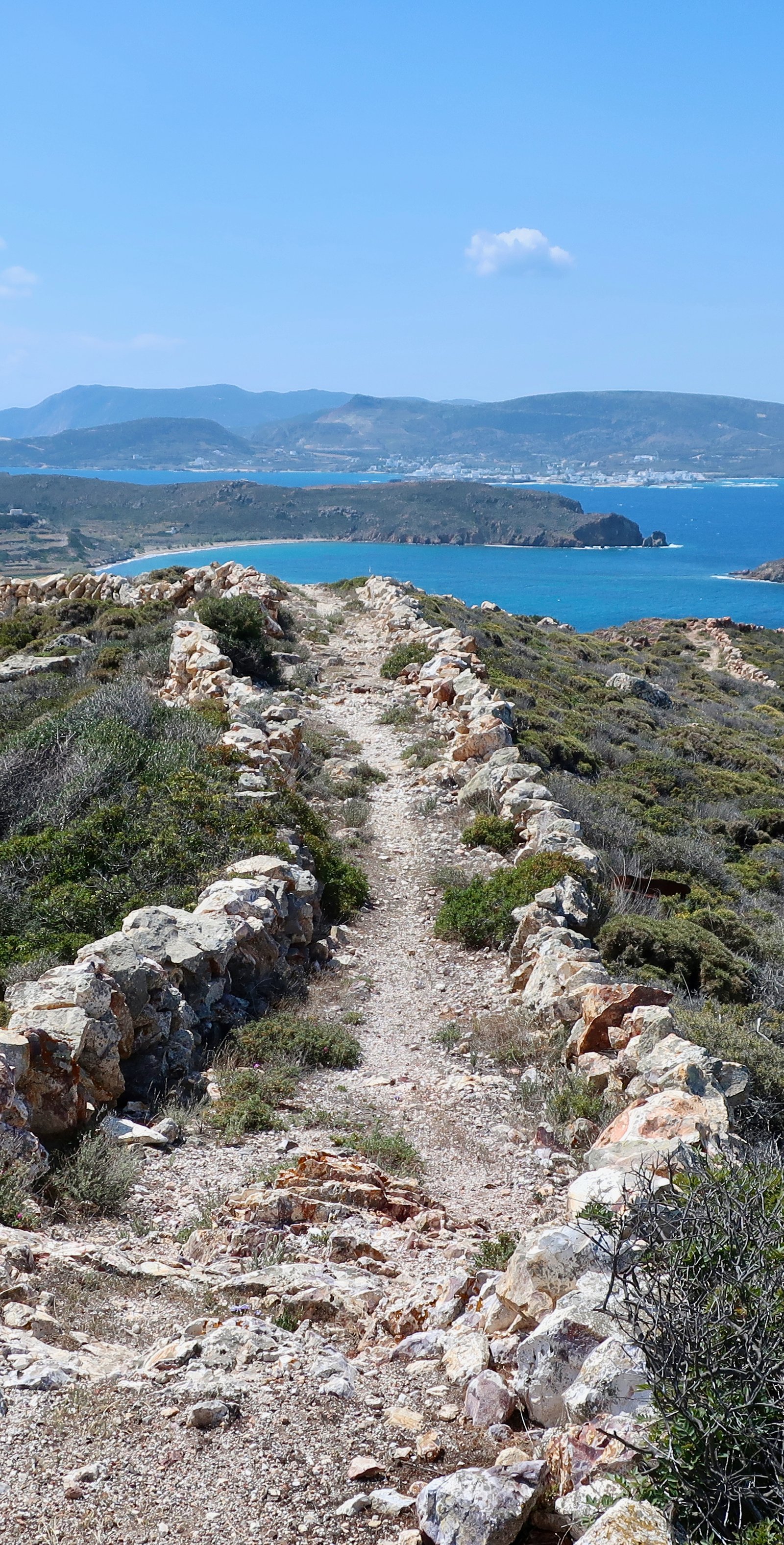
For tourism purposes, the Aegean islands are divided into five categories. At the top, Tier 1, the Mega Hubs, each with between 1.5 and 6 million visitors per year. There are only four: Crete, Rhodes, Santorini, Mykonos. At the bottom, Tier 5, islands classified as Ultra Quiet, or Slow. Less than 25000 visitors per year. Kimolos is in this latter group.
Overshadowed by its much larger neighbour Milos – just one kilometre of water separates them – during the short high season a ferry makes the crossing up to a dozen times a day, between Pollonia on Milos, Psathi on Kimolos, back and forth. It’s a thing to do during a Milos-holiday, pop over to Kimolos. Kimolos is one of those rare islands not within shouting distance of the mainland – Greece or Turkey – not visited by cruise ships, but whose numbers, by percentage of population, can increase substantially during the day, only to dip again when the last boat goes home. It has low-key rush hours.
At time of greatest prosperity, a little more than 2000 years ago, it is estimated that between two and three thousand people lived on the island. These days, in winter when the population drops slightly compared to summer, there are around six hundred, a majority of them elderly.
The ancient prosperity of Kimolos that supported this larger population was founded on exports of Kimolian earth, for which the island was famous throughout the Aegean. This earth, which has degreasing, absorbent and anti-inflammatory properties, and is of unusually white, unusually pure quality, was used as soap and also as a medicinal plaster. Kimolian earth, now known more generically as bentonite, is still mined and exported, used most notably in the cosmetics industry and in the manufacture of high quality cat litter. Unlike most islands, where tourism has overwhelmed all other sectors, on Kimolos mining is still economically more important.
On tourist-Kimolos there are: nice beaches, quiet, not organised; there’s the section of rocky coastline just north of Goupa and Karras where the water on a sunny day is exactly like those photos on the internet you think must have been touched up – they often are – it is so glassy, so blue-green;
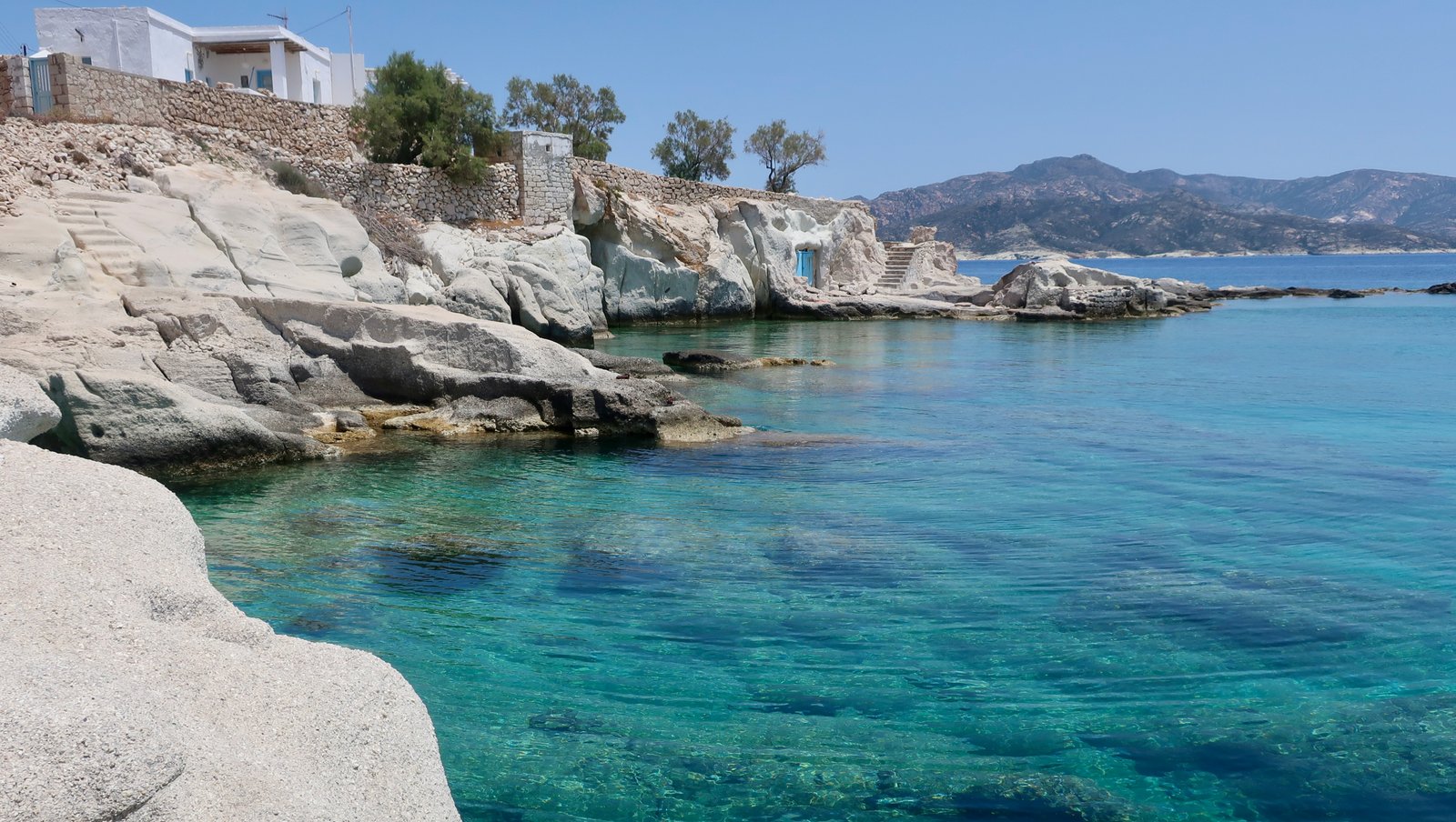
there’s Goupa and Karras themselves, where there are boat-houses like the boat-houses on Milos, photos of which are also all over the internet, and which, the smaller clusters in particular, seem like nothing so much as a different sort of civilisation, sea-people living in their sea-houses, their backs resolutely turned away from the land; there are the ruins of the ancient city of Ellinika, now either sunken beneath the waves or on the island of Agios Andreas just off the west coast – they say there are vestiges that can be snorkelled over in the shallow water between beach and island, although I think very little remains; there are a number of good hiking trails leading through the empty heart of the island; and there’s the mushroom-rock of Skiadi, Kimolos’ best-known attraction. Locals invariably point visitors in its direction. This is a classic case of people believing their own publicity. It is a rock shaped like a mushroom, three or four metres tall. Dust in the wind has worn away the softer material of the mushroom-foot, to create the distinctive shape.
Almost everyone on Kimolos lives in the Chora, just inland from the port, with the usual collection of minimarkets, more or less dusty, a few bars and cafes, a few smartish tourist shops, and a shiny, upmarket ice-cream bar, serving, amongst other flavours, goat’s milk and mastic. It was a surprise to find it open out of season, a sugar-magnet for old and young alike.
One of the cafes is called I Kali Kardia, The Good Heart, an old-fashioned name for cafes, bars, restaurants all over Greece, evoking hospitality, warmth, tradition. This one claims to have been established in 1920. What a year that was in Greece. The Greco-Turkish war was in full swing, the Greeks seeking to take advantage of Ottoman weakness after defeat in WWI, imagining to finally put into place their almost 500 years of longing for the return to Constantinople and their Anatolian homelands. 1920 was the high-point of the war for the invading Greeks, before the Turkish resurgence under Kemal Ataturk, the eventual crushing defeat of the Greek army in 1922. Even on a tiny island like Kimolos there must have been a mood of excitement, such possibilities the future held.
At the heart of the Chora there used to be a Kastro – castle, of sorts. Not a grey and mournful high-walled knights and horses thing, but an Aegean defensive structure not unlike those on Sifnos, or Folegandros, or Astypalaia, where the exterior walls of the Kastro were the walls of an interlocking square of houses, with just a couple of gates through which to enter. Today the rough exterior shape still exists, the inside is a tumbledown site of slumped walls and alleyways. You can wander around trying to make some sense of what was. In summertime they set up chairs and a screen and show movies.
Some of the houses that make the outer wall of the kastro have been turned into shops or cafes. One shopkeeper showed us in practised fashion how they used to pass the weapons from neighbour to neighbour through communicating doors between adjacent houses. He showed us the places from which they would have shot their projectiles, or poured hot oil on the attackers, the back door for a retreat into the next level, the inner square.
We couldn’t help remarking that if you were a pirate, compared to other fortresses in the Aegean, on hilltops with great high walls, or on cliffs, or on sheer rocky islands from which drawbridges were withdrawn in time of danger, it didn’t seem all that challenging. The shopkeeper changed tack. Yes, he smiled, you’re right, and said that as far as they knew it never was attacked, that the bad guys instead used to come to party, because Kimolos was known as a good-time place and Kimolos girls were the most beautiful (of course).
(According to the internet, like everywhere else, Kimolos was repeatedly raided. By 1655 the population was so decimated that the island was partially repopulated with the introduction of 12 settler-families from Sifnos.)
The shopkeeper also said there are precisely 34 children on the island. Based on total population, it is an extraordinarily low number and says much about the demographic not just of Kimolos but of so many of the islands. The young have drained away.
– And he said we should go to Skiadi to see the mushroom-rock
***
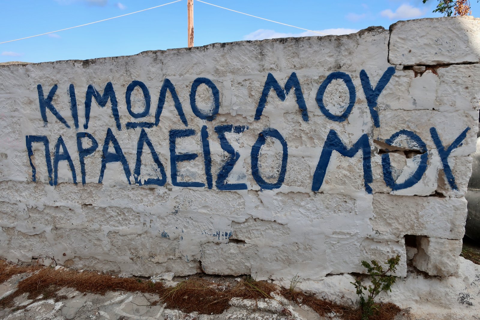
The graffiti, above, is on a wall near the bottom end of the Chora
Kimolo mou
Paradeiso mou
‘My Kimolos, my paradise’
I don’t quite know what to make of it. Who might have written it? It’s difficult to see past the dilapidated state of the wall, the scrawl of the writing.
Is it wrong to see defiance?
HIKING
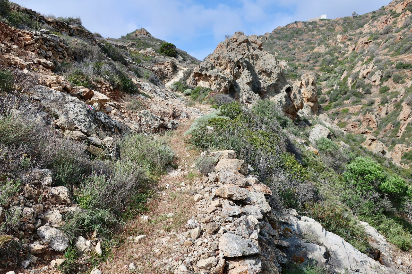
Much of Kimolos is tuffaceous – essentially volcanic ash that has been compacted. Tuff is lighter than most rock, easier to sculpt, more easily eroded by wind or water. Thus the mushroom-shape of Skiadi rock, whose foot is tuffaceous, while the cap is made of harder stuff. Thus the landscape of much of Kimolos, strange rock formations, jagged and craggy, pock-marked, white, dirty-white, beige or pasty grey. Walking on Kimolos, the rock formations are just a little spikier, the ground a little dustier than on most islands.
There is a an excellent online hiking map
https://www.kimolos.gr/images/xartis_kimolos_polyegos.jpg

according to which a total of 58 kms of trails are waymarked.
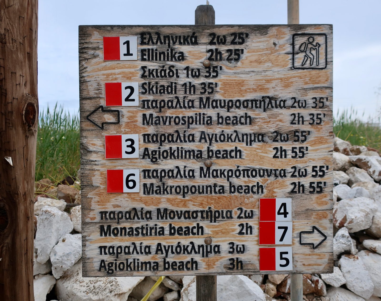
On the map there are at least another 30 kms of non-waymarked paths, plus a significant network on uninhabited Polyaigos Island, if you can get a boat over.
The high-point is only 364 metres, there are no big climbs to do. Significant sections of path are stone-paved, and since the road network on Kimolos is minimal – only about 10 kms of asphalt – most of the island is accesible only on foot.
We did two days of walking for around 42/43 kms. It would be easy to spread this total over three or more more days.
The kimolos.gr site advises
Don’t forget the walking guide, even if on Kimolos almost everywhere there are people to ask the way from if you’re lost.
It’s hard to imagine quite who might have written this. It’s nonsense. When out walking it’s just as rare to meet anyone on Kimolos as it is on any other island.
HIKE 1
Chora to Monastiria beach on Trail 1. Trail 4 as far as Perrou 9 (see map), then down to Agioklima beach on Trail 5, across to Fidaki beach and from there up on Trail 3 past the junction point with Trail 2 all the way to Seladi (see map). Dirt road past the churches of Profitis Ilias and Agia Ekaterini to Perrou. Down the marked Trail (5 or 4?) back to the Chora
25-26 kms
We spoke to an elderly gentleman with donkey and dog just at the exit of the Chora. He was keen to tell us to not go left, to turn right, just down there, wanted to make sure we had enough water and above all wanted to warn us about snakes. They’re dangerous, he said, epikindinos, and everywhere, pantou.
In classical times Kimolos was sometimes called Echidnousa, which comes from Echidna, viper. It was said there were an exceptional number of snakes on the island.
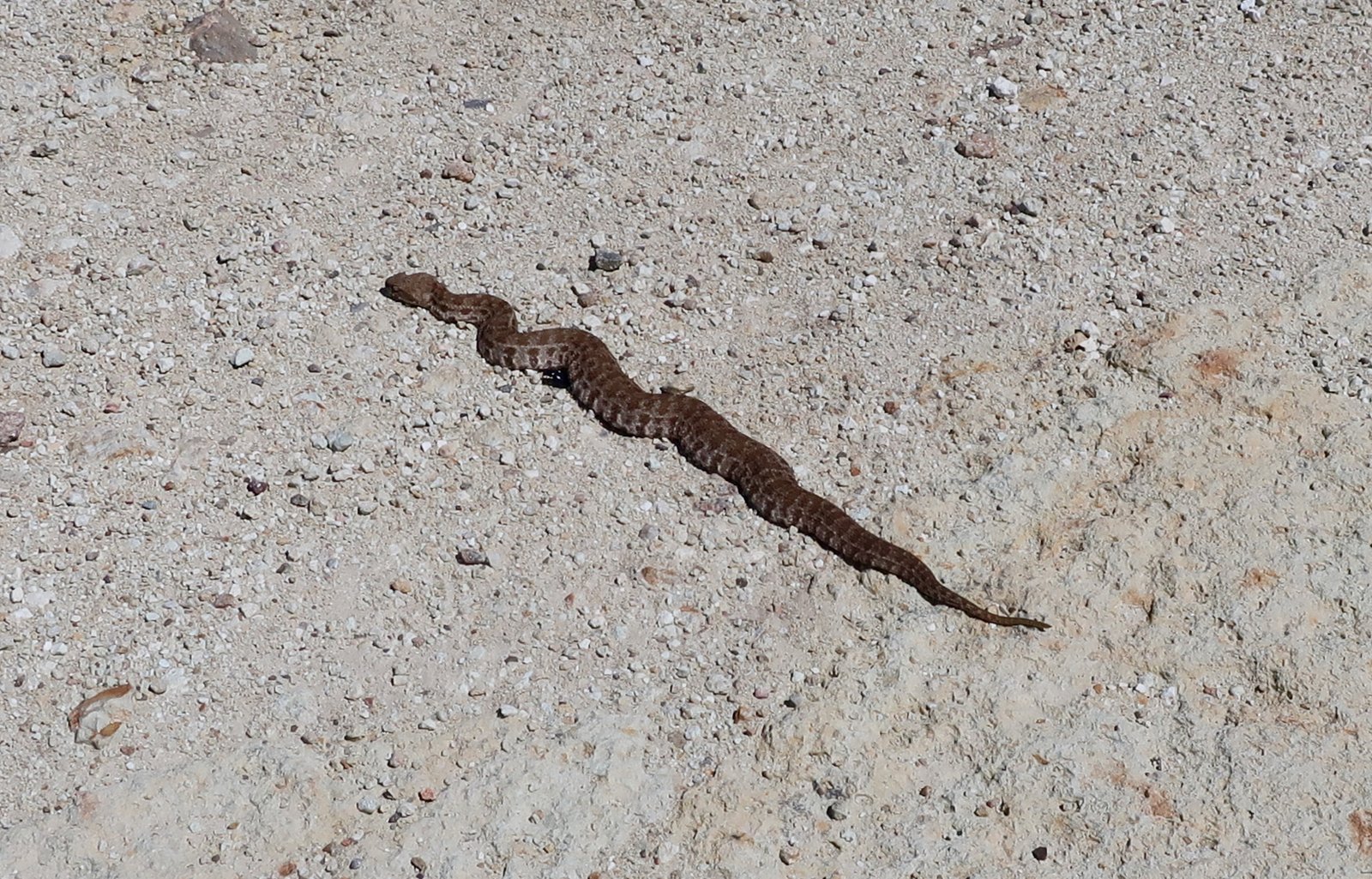
We have been warned before about snakes are rarely fortunate enough to see one of any kind, let alone a viper, but on Kimolos did spot one crossing a dirt road just in front of us.
A wide stone path to begin with. Well-laid. Much of the way to Monastiria is paved. Parallel walls, brown stones, not flat but irregular, lumpy. A little more brown or beige than usual. Monastiria beach is nice. Soufi beach just past it is even nicer.
From the middle of Monastiria beach a path heads inland through the old riverbed, past well-tended olives and vines, and many terraces. Dramatic rock formations on the low ridge to the left are very good examples of tuffaceous rocks, unmistakably Kimolos, almost spaghetti western.
A left-hand turning out of the river bed is marked, but narrow and easy to miss. The path continues to follow just alongside the water course, slowly climbing, much of it paved, until the last section turns left away from the water and climbs quite steeply up towards Perrou, the junction point of 5 dirt-roads and 3 trails.
The downhill section of Trail 5 has mostly been washed away, the uphill towards Panagia Chimeli is nice again, cobbled with the same irregular stones as Trail 7 to Monastiria.
The Trail continues, well-paved, and reaches a slope of solidified lava. Not a collection of rocks with cracks and splits, but one pock-marked pouring now splattered with orange and grey and white and black lichen. Across it a thin path has been hacked directly into the rock.
At the end of this congealed hillside there is a col. One branch of the Trail goes straight on towards the far north (see map), the continuation of Trail 5 however takes a left and heads down to Agioklima beach. This is another old stone-laid path, in the process of disappearing because of wind and water and lack of maintenance. Rocks down the slope have been sculpted into sharp shapes by the wind. In May vast amounts of lavender were flowering on both sides of the path, filling the air with their perfume.
After Agioklima, at a second beach, Fidaki, the way turns left along a valley floor inland.
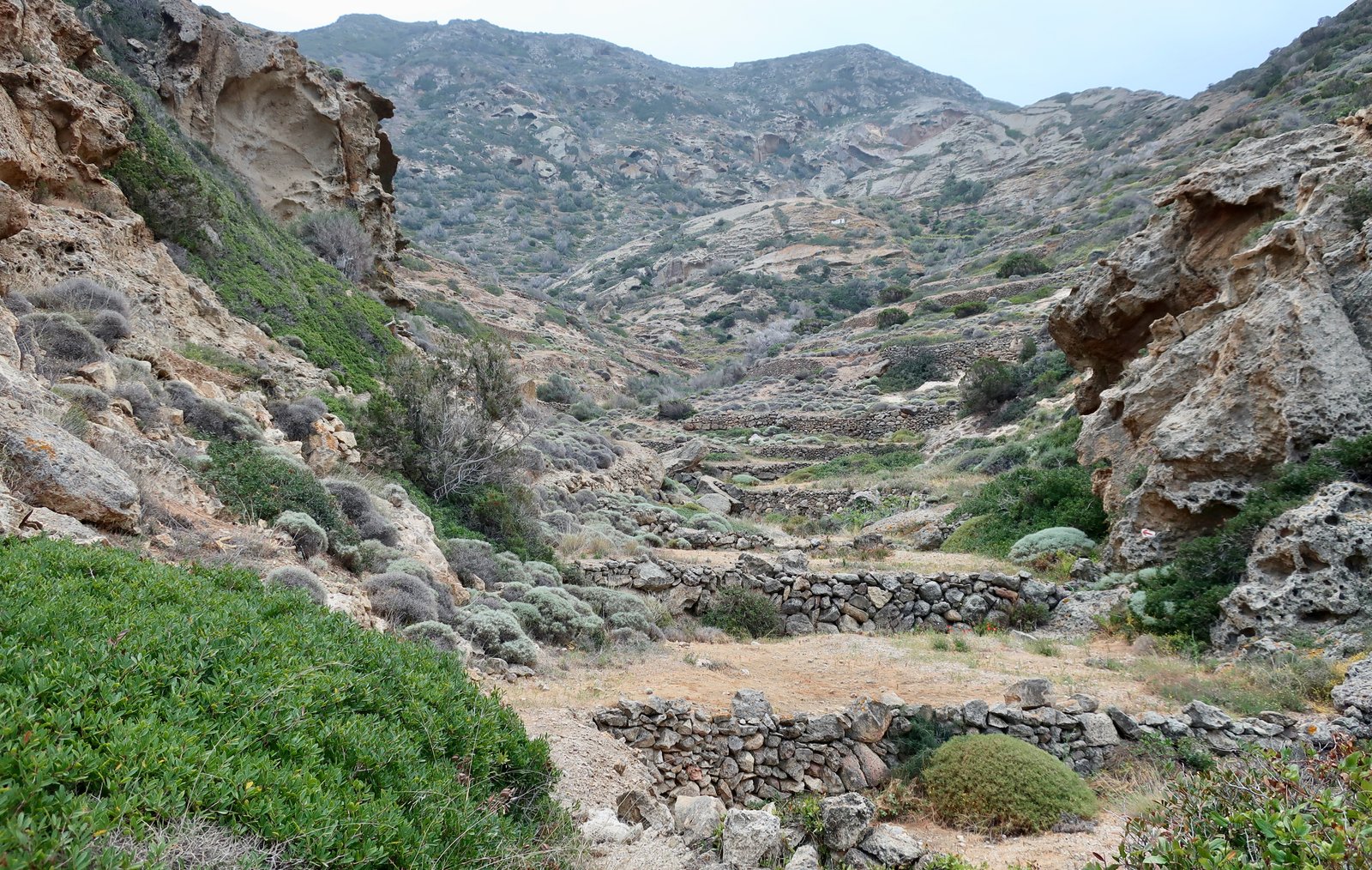
This section of Trail is probably the best on the whole island. The valley was once intensely farmed. There are shallow terraces on both sides, that begin narrow and broaden with the widening of the valley. There are olive trees still, occasional figs, a section of vines, and clumps of capers clamped all over to the stone terrace walls.
The Trail makes its way towards a white building on a hump in the middle of the valley. A cobbled path zigzags back and forth up to it. This building looks like it has been slipped into a pocket in the slope. The roof is part of the poured rocky hillside, a slab of it, not constructed.
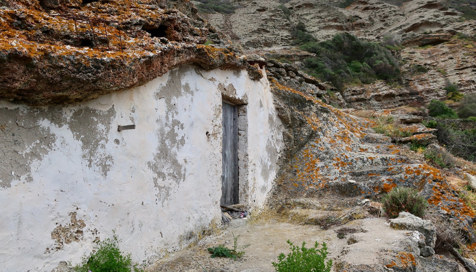
Here too, a path, and even steps and a threshing circle have been carved into the rock. Here too the composition of the rock seems to be a fertile environment on which a world of coloured lichen is flourishing.
The Trail climbs to the right out of the valley, with more stone steps carved into the rock and stone buildings on the ridge above. At the buildings it takes a left. There are sporadic signs and numbers. And more lavender here and all the way home, that explodes with smell when we touch it. Swooping above us small bands of brightly-coloured bea-eaters.
No sign of the Palaiokastro, the old fortress that should be here somewhere.
The path turns into a smooth ridge-walk, some parts paved, some parts gone. There are a few small agricultural buldings in ruin, and then the dirt track at Seladi where we turned left towards the small, basic cubic churches of Profitis Ilias and Agia Ekaterini. Only a bell, or a cross to mark them out as religious buildings, absent of all decoration.
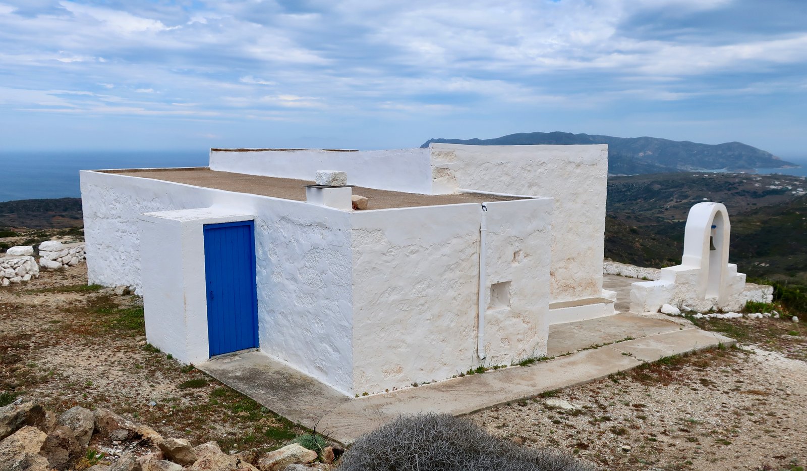
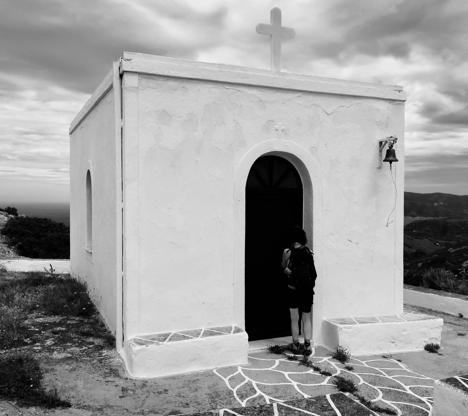
The lower half of Trail 4 leads back to the Chora from Perrou, much of it the same pale, cobbled construction as elsewhere. An impression here too, as elsewhere, of dust, stones the colour of dry dirt made solid.
HIKE 2
Out of the Chora on Trail 1/2. Trail 2 down to Mavrospilia beach. Trail 1 all the way back to the Chora.
Approx 17 kms
Very windy. One of those days when we go from hot to cold to hot and so on back and forth, depending on shelter from the wind or not.
It is barely an exaggeration to say the beginning of Trail 2 is more like a drainage channel than a footpath.
We had been intending to bulk up this hike with the addition of Trails 6 and 6a. Having got as far as the junction point where these paths separate, left and right, with a vicious cold wind blowing straight at us, and somehow a lack of enthusiasm, we turned tail and did the classic, simple loop down to Mavrospilia instead. This out-of-character abandonment was justified with an egging-on sort of conversation: What is there anyway at Mavropounda? And so on. A rare moment of torpidity. It happens. The 2 paths we missed out on are probably wonderful and now we will have to go back to Kimolos just to do them or they will hang around, clanking and clanking in their undone-ness.
Trail 2 goes past the mushroom rock at Skiadi in a bleached and barren landscape, then heads downhill towards lovely little Agios Panteleimonas church just before Mavrospilia beach. From higher on the path, laid out below: the beaches of Mavrospilia and Dekas; the island of Agios Andreas, once the Acropolis of the city of Ellinika, before an earthquake that drowned most of the city separated it from the mainland; and in the background across the water the port of Pollonia on Milos.
Trail 1 back towards the Chora is dirt track for half a kilometre or so, then a nice on-off stone path through what was once agricultural land.
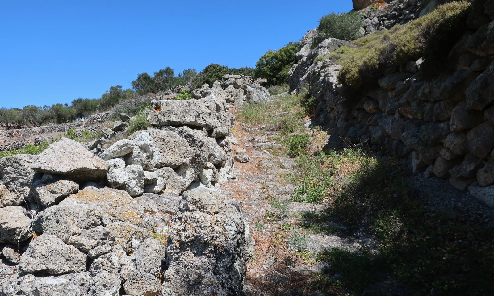
Coming back into the Chora from this side, seeing abandoned houses, many of them crumbling, and windmills on the ridge, gives some idea of the larger village it once was. The hill of windmills to the left is called Xarlovouni, thought to be a corrupton of Klapsovouni, the hill of tears. According to tradition the sailors’ wives used to go this hill to look for returning boats, there to cry longingly for their men.