Somehow this has become our place. Not Greece and the islands, although of course. I mean the ferry: a soft seat, a table bolted immovably to the floor, the noise of the engines – which by now we’ve mostly ceased to hear – a few uniformed seamen and stewards and, although numbers are dependant on time of year, probably no more than a scattering of paying passengers.
Maybe we’re reading. Maybe we’re writing about something (like being on a ferry). Maybe we’re using my Swiss Army Knife, which has seen great service all over the islands, picnic after picnic, slicing bread and tomatoes and cheese. We usually bring food on board. Boat food is not great and is usually expensive. Money is time, is possibility. One night in a fancy hotel – and not really fancy, just fancy by our standards – might be worth a week in a little studio with two rings for cooking and a small fridge and who knows what else, it varies a little, sometimes we’re thrilled by the simplest things: There’s a bread board! we say in triumph, on our first inspection of the mini-kitchen. A grater!
Although we certainly wander around the ferry, one at a time, the other one keeping the seats and our stuff, mostly we sit inside at a table. Wow, you’re not going up on deck (drinking it all in, by implication), people we’ve travelled with sometimes say. Meaning: Surely you who love the islands so much, surely you spend your time on deck hanging on every silhouette of every island, every breath of sea-air, every instant?
Well no. We’re down below reading and having our lunch and/or coffee and sharing a little (not necessarily so little) stafidopsomo, raisin bun, bought before boarding for just this moment. Having done this very many times now, this travelling between islands, we tend nowadays to shift our focus from the external to the internal.
But look, we’re coming into another port. Not the one we’re getting off at, one on the way to the one we’re getting off at. Ports anywhere in the world are places of longing. They are infinite variations on a theme.
Because we’re coming into a port, there’s a fair chance that one or both of us will want to go up on deck and re-familiarise ourselves with the place and the lie of the land into which it’s nestled. Some places though, there’s never any doubt, we definitely will sit up, get up, pay attention. Right now, sitting not on a Greek ferry but at home picturing us on a Greek ferry, I can think of only three such places. (It seems unlikely that there are only three, but for now that doesn’t matter. I’m not including those remote islands – specifically Antikythera, Agios Efstratios and Psara – that we make sure not to miss. Not because they’re visually exceptional but because who knows when we’ll be back.)
So, there’s Chalki, just north of Rhodes. With the sun shining, as it almost always is, you float right into the heart of it, pastel, neoclassical, red-rooved. Prettiness is not everything. But jeez.
There’s Symi, a little to the north of Chalki near the Turkish coast. It’s like Chalki but much bigger, and extraordinary. An American woman was standing alongside waiting to get off the first time we went. She was open-mouthed. Literally open-mouthed. I want to cry, she said, with singularly American effusion.
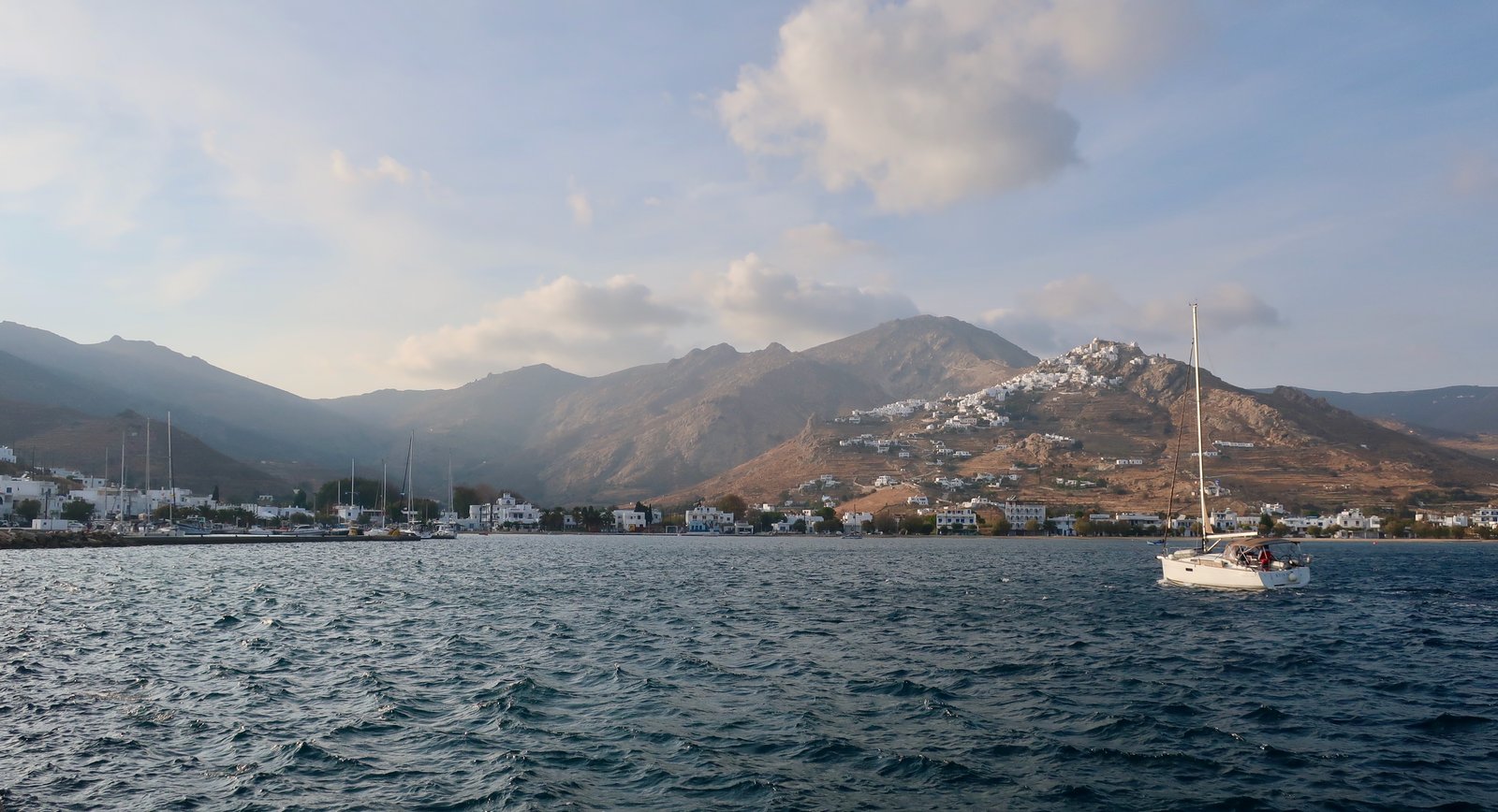
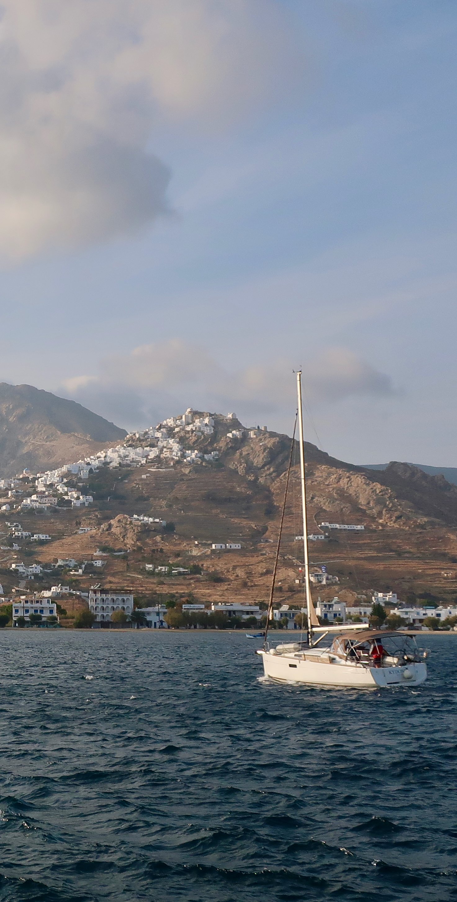
The third place is Serifos. (Finally, we get to Serifos.) We see it much more often. Because of its position near the Saronic Gulf, Serifos is a place ferries tend to pass close by, for many of them a place to stop at. Approaching, at the very least we sit up and pay attention. Probably one of us goes to the window to stare and the other goes up on deck. I don’t think we’ve ever had the conversation, but we do this because we want to see the Chora coming into view.
Little more than a kilometre inland, it’s a white, cubic, wrapped-around-a-pointed-hilltop Cycladean capital, paradigmatically perfect and the only place like it that’s visible when calling in on a ferry. On a good weather day, with the right sort of light and shade, the right colour of water, of land, it’s the distilled essence.
Moreover, the bay at Livadi, the port, this variation on the theme of Greek island ports, is particularly deep and lovely. And there, next to it, There’s Livadakia beach – we might say if we can remember the name, which is far from sure, there are so many names we use one day as if they’re indelible, only to have them gone the next – both of us in that moment probably thinking about swimming there the first time we came to Serifos, across the beach from one side to the other and back in mid-October, chilly enough.
Still, and even more strangely given that we’ve stayed several times on Serifos, when approaching from the south I’ve several times had the feeling that surely real people don’t, couldn’t, live on this sterile rock. The borderline between mythical and real in the islands is so uncertain we too lose trace.
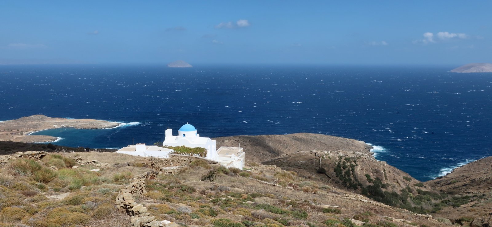
On the southern end there’s next to nothing: an odd white building, a church, perhaps a lighthouse. Apart from the tamarisks along the beach there are almost no trees. Inland, over the hills out of sight, it’s different, a landscape of agricultural terraces so tight and unbroken that they look like pleated skirts, crinkled paper. It was almost green the first of the two Octobers we were there.
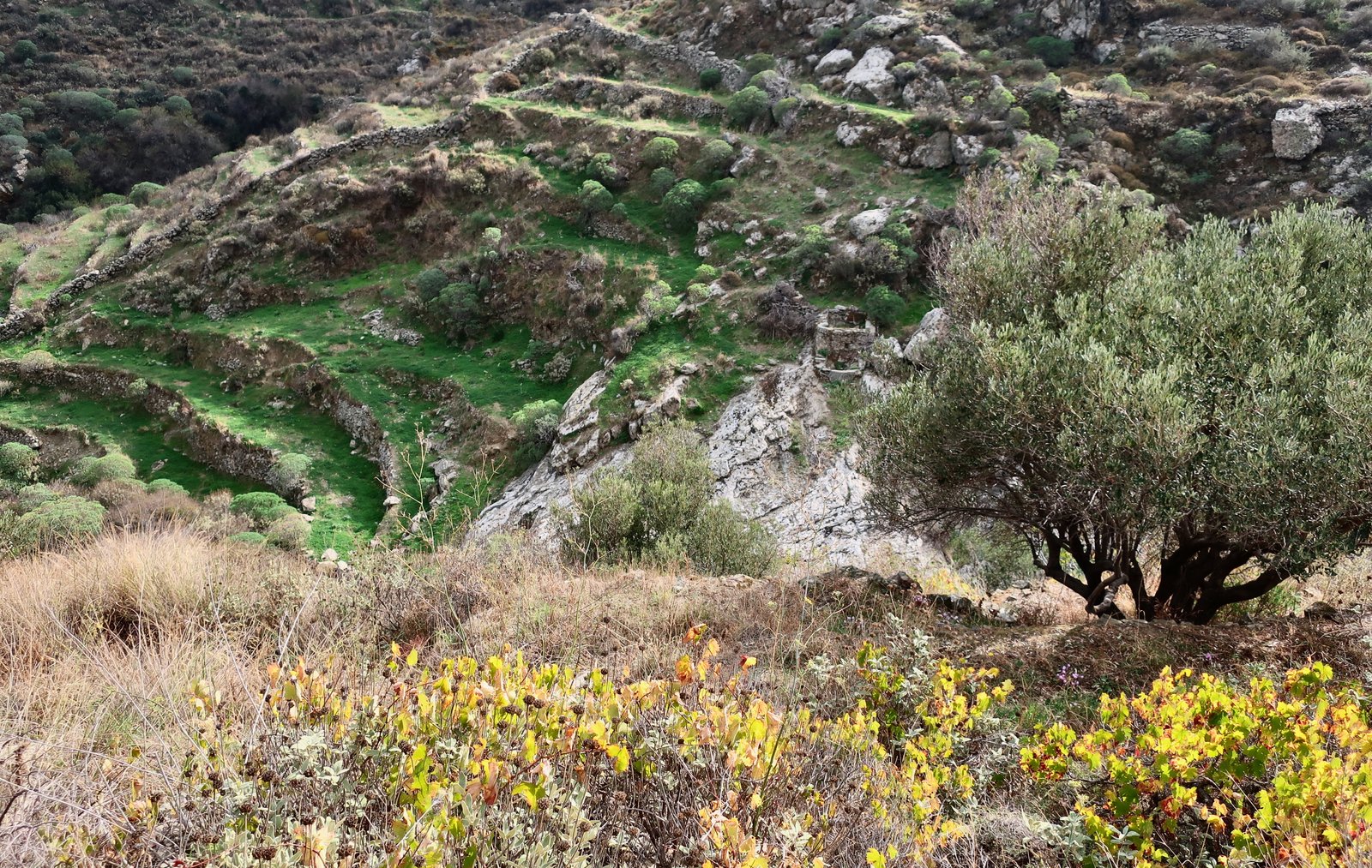
The second time, several years later and just ten days earlier in the year, it looked like a place that never knows anything but endless, withering heat.
It’s one of the islands we’ve recently visited for a second time: Folegandros, Chios, Milos, Kythnos, Serifos… All of them we liked even more second time around. All of them we already liked first time. You might imagine we’d get tired, islanded-out. But no.
One reason we preferred Serifos second time around is because it was more animated. Someone reading this, all these islands, all these trails, reading even a slice of it, might see the way we seem to avoid the busiest islands, the way we seldom partake of many of the things people most obviously go to Greece for – sauntering through crowded Greek villages in summer-holiday clothes, trips to nice tavernas, luxurious places to stay, sun loungers – plus the fact that we spend most of our time away in the hills and valleys all on our own, and mistakenly conclude we prefer it when we have the islands to ourselves.
Although there is a particular character, that we like very much, to the least-visited places – such as Antikythera or Agios Efstratios – there are no rules. Besides, unvisited and closed are not the same. Away from the high season most islands are simply closed. Better to get them on the cusp, partially open. Even when walking, contrary to what might be inferred from all these windswept hilltops and deserted beaches, we like meeting people too. We never expect it and it doesn’t happen often – so few people go hiking in the islands – but when we do we tend to stop, and chat, and swap places and impressions and it’s a pleasure.
We rarely meet any other hikers but the paths are thick with the ghosts of those who’ve come before, by whom and for whom they were built. If, when we’re out walking, at any moment I was to be asked what I was thinking about, often the answer would be ghosts:
On Karpathos the whole population of Vroukounta, men, women and children, carrying all they own, all they can bear, snake uphill on a twisting stone path. Time and again pirates have come with their violence; they can stand it no longer.
On Anafi there was once an ancient path from the city of Kastelli out to the temple of Apollo, over which the monastery of Zoodochos Pigi has now been built. Even if today’s path isn’t exactly the same path, the same stones – although I like to hope there are remnants – still there they are, the ghosts, in robes and in procession just like in Cecil B DeMille.
On many islands on feast days crowds of villagers troop along certain paths: kids play, it’s a holiday, a respite; the old and frail are on donkey-back; everyone carries something. The path leads to a monastery or church, with a courtyard big enough for eating and dancing.
Most commonly though the ghosts are agricultural workers, winding across and up and down the hillsides like bees. They greet each other, carrying their tools, their food, their familiarity.
Serifos is different. On Serifos the ghosts are miners.
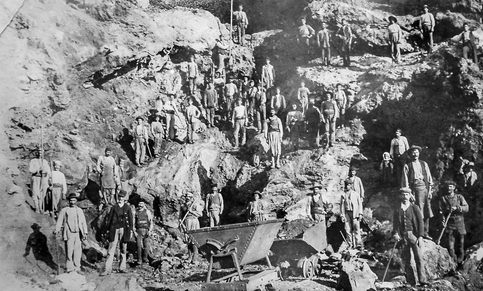
Although there were mines on many other islands – iron and marble and gold and silver and emery and obsidian, by-products of the volcanic activity that formed them – Serifos is littered more than most by the legacy of mining. There are old loading jetties that jut out into bays. Rusty railtracks come to a sudden end, as if relics of some abandoned fairground ride. In Mega Livadi minecarts have been left to rust. There are black holes in the hills, heaps of refuse on the hillsides. In some places railway tracks still disappear into the rust-coloured darkness.
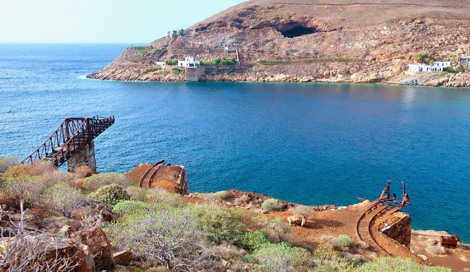
In the Bronze Age iron and copper were already mined on Serifos. Mining made Serifos wealthy enough that in the sixth century BCE it had its own currency. After a long period of pause, in the middle ages under the Venetians mining began again, then was abandoned when Barbarossa took the island and its people and plunged it into darkness. Barbarossa, whose ferocity and ubiquity must have made of him the bogeyman with whom island-children for centuries were sent to bed. Then the final boom in the late nineteenth and early twentieth centuries. Thousands came from other islands for work. A German company ran the operation. The neo-classical building that was their headquarters still stands on the beach at Mega Livadi, hollowed-out, crumbling. Conditions were harsh. Natives of Serifos were forced to give up their land when they came to work in the mines. They were made to work from sunrise to sunset. Safety measures were negligible. Many died in accidents. The only way to get to and from work was on foot. There is a difference between the staggered morning dispersion of agricultural workers around an island and this industrial tramping, thousands of men along the same few paths, bottle-necking towards their dark underground work-places.
There are others, but the most famous path is the great, wide stone track that runs from the Chora to Gyftika.
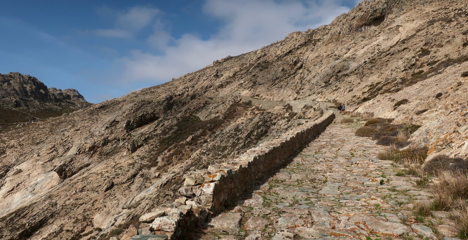
It seems as much of iron as stone. Every morning and every evening it was taken by crowds of men in the darkness or half-light. Quite as much as the hilltop Chora it defines Serifos.
***
Using the winged sandals lent to him by the god Hermes, Perseus, son of Zeus, favourite of the gods, left his home on Serifos and flew south to Africa. There he found the snake-haired gorgon Medusa in her cave. He chopped off her head. On his way home, he met Atlas, standing with the world on his shoulders. When they argued, Perseus used the dreadful head of Medusa to turn him to stone. Passing by Ethiopia, Perseus found Andromeda chained to a rock, about to be sacrificed to the sea monster Cetus. Perseus turned Medusa’s head on Cetus too. Finally, finally, he made it back to Serifos, understandably exhausted, wanting above all to sleep, only to find that sleep was impossible because of the head-splittingly loud croaking of the local frogs.
This tale might have been a classical lesson in humility, or the benefits of cooperation, as the prideful valour of the individual is pitted against these small, unseemly antagonists, except that Zeus was Perseus’ father, and in things both great and small was looking out for him. Thus Zeus did his king-of-the-gods thing and rendered the frogs mute.
With reference to this story, to the dumbness of these creatures, in antiquity to call someone a Serifean frog was to insult them by characterising them as a person unable to speak in public. It’s not difficult to imagine the poor, stuttering victim as the mocking words were shouted across an assembly hall.
Approximately two and a half thousand years ago, Serifos, going through a period of relative wealth founded upon the exploitation of its mineral resources, for a short period minted its own coins. The photo, below, is an extremely rare example of a silver stater from Serifos, dated between 530 and 580 BCE.

(Just in case a local mutation might be responsible for the actual, rather than mythical, voicelessness of the frogs on Serifos – a logical, albeit unlikely explanation for the origin of the story – I have hopefully searched the internet. Of course the frogs are not dumb. The only thing I found is a little film, less than a minute long, that someone has posted, of an attractive, camouflaged frog sitting by a wall, apparently on Serifos, not making any noise at all. A very niche joke.)
HIKING
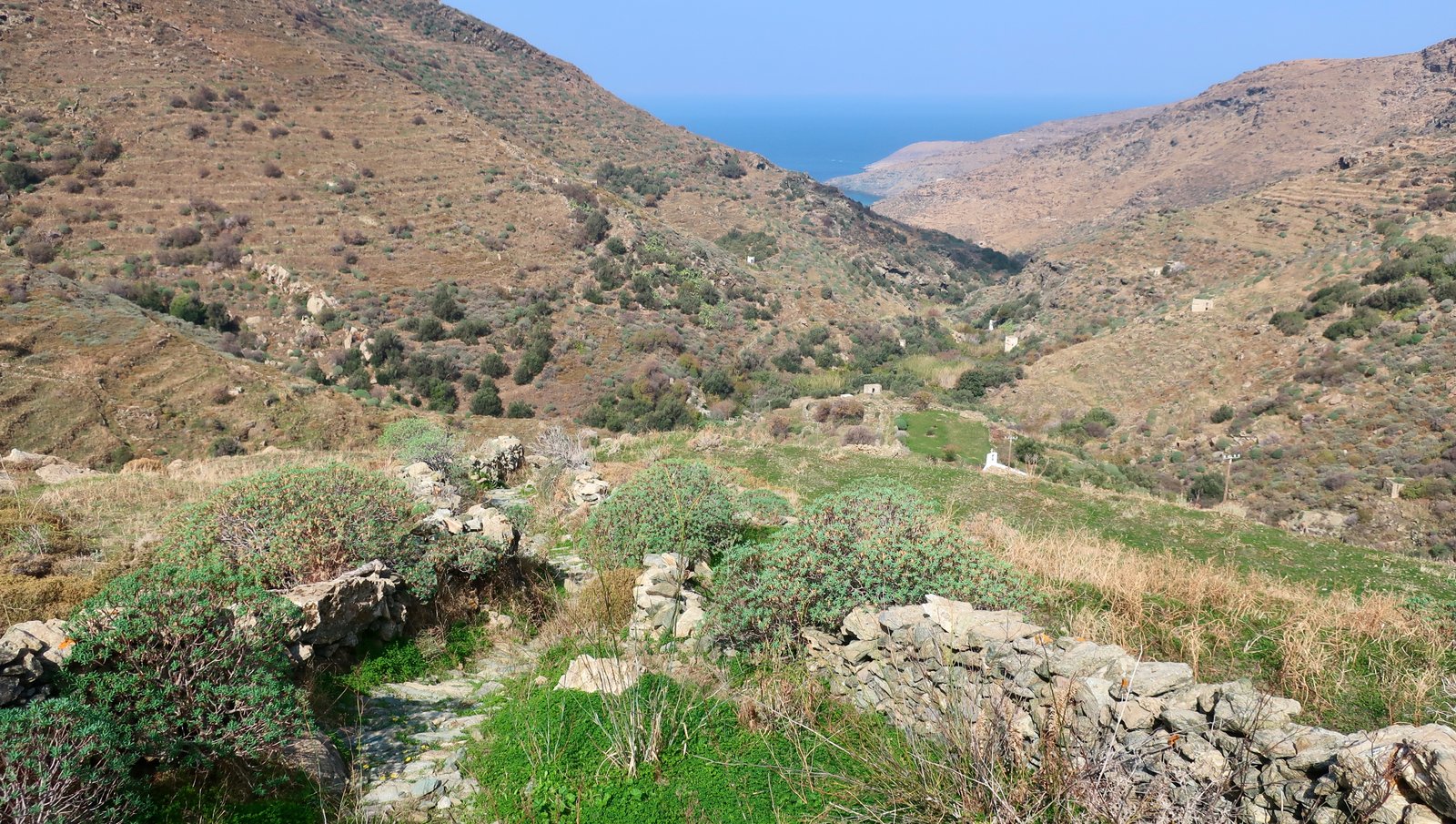
It is endlessly remarkable that on almost all Greek islands, away from the skim of civilisation, the holiday-services, just over the ridge there’s a wildness that takes your breath away. The surprise of it catches us again and again. We set off in the morning on foot from our accommodation, past the neighbouring studio which is almost certainly closed up, since most everything is closed up unless it’s July or August, and before long find ourselves sweating up a steep, rocky hillside with hardly a sign of habitation, just this path and the hardness of stone underfoot. Then it’s over the top and a wilderness of euphorbia, pink and glowing in the early morning sun. Or a forest of juniper, or pine. Or here on Serifos a barren plateau of spiny shrubs and thyme, followed by a beach where beyond the headlands left and right the meltemi is driving white-topped waves north to south. And there’s no-one. Not a living soul. A silent, empty village at distance. The skeletal, leathery carcass of a goat.
Serifos is three or four hours on the ferry from Piraeus. On a clear day perhaps you can see it from Lavrio, on the tip of the Attic peninsula. It is less than 11 kms by 11 kms. Approximately 1300 people live there. You have to walk out on small Greek islands to understand the desolation.
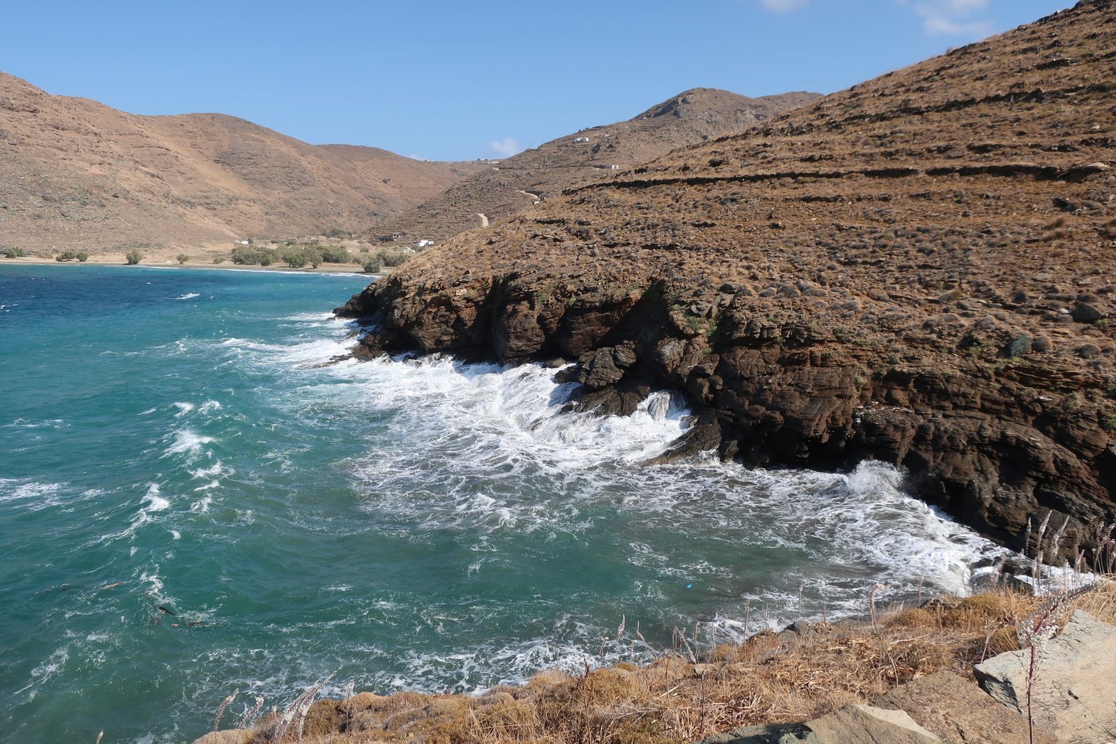
Serifos, the shape of it, is a splash of liquid dropped from height, a cartoon splat. The highest point is 585 metres. From the top of the central highlands the land descends ruck by ruck, ripple by ripple and fold by fold towards the sea. There are dozens of valleys leading down to the coast, dozens of headlands, dozens of beaches and bays.
All trail numbers below refer to the Anavasi map of Serifos, according to which there are twelve numbered paths for a total length of 46.4 kilometres. Again according to the map, five paths, more than 20 kilometres worth, have been recently redesigned and are unmarked.
The map goes on to say that On the other routes waymarking is incomplete, and The paths are blocked by vegetation in several sections.
In fact all the main trails are passable with the probable exception of the bottom of Trail 3, the section that leaves the road just above Koutalas Bay. We looked and looked but found nothing. We couldn’t even find a logical way across the hillside through the density of spiky undergrowth. Well, perhaps we just about could have tiptoed and skipped from stone to stone, clearing to clearing. But some days it seems like a better idea to go back to the beach you’ve just passed, to swim across the bay and afterwards sit under a tamarisk tree to eat the endlessly giving picnic of bread, feta, cherry tomatoes and olives. Maybe we should have persisted; looking at the map more carefully later, we realised that most of the upper section of Trail 3 is a ridge-walk, so that even if a visible path doesn’t exist, we’d probably have been able to follow the hard edge. So long as the sides are not too steep. So long as the wind isn’t blowing too hard.
Trail 8, which anyway is relatively short, the non-road sections of it, we didn’t even look at. We haven’t been over to the east of the island for hiking, although we have visited the bay at Mega Livadi, the old mining headquarters, where there’s a dusty beach, the abandoned detritus of industrial-scale mining from a hundred years ago and a couple of tavernas that serve occasional, seasonal, visitors on a rental-car-day-out.
In general, compared to the better-organised hiking islands, the trails on Serifos are not well-maintained. But because of the intensity of mining, there must have been large movements of men over many of them. Around Mega Livadi, Megalo Chorio, Avessalos, Liomandra and elsewhere in the east, aside from the numbered paths, on the Anavasi map there are very many dotted paths to be explored. One could spend time – we could spend more time – investigating, kicking through undergrowth to maybe find floors of stone scribbled all over.
Most of the trails are in the north and east. The Chora is the start or finish point, the beginning and the end of a circular loop that on the map has the shape of a deflated balloon, or a mirror-image of North America, east and west inversed, except that the top end, Canada, has been shot away, made ragged. Below the Chora there’s a connecting link to the south coast, a characteristically wide ancient paved path, half of which still exists. It runs more or less straight, slicing at least half a dozen times across the modern tarmac, which climbs uphill in a series of stretched hairpin bends.
Beginning at the Chora the loop can be done clockwise or anticlockwise. We’ve done it in both directions, with variations. Either way, if you begin and end in Livadi it’s hard to do much less than thirty kilometres. If that’s too much, you can use the map to divide it into suitable-length pieces and plan a way in and out. All of it is worth doing, some of it should not be missed. There’s a café in the Chora at roughly the point where you have to decide direction, which way round to go. The first time we passed this café there was a donkey outside, on a long leash, unmoving and infinitely patient. The leash hung loopingly through the café door to where an elderly man was standing at the bar, a coffee in one hand, the leash in the other.

Trail 1 leaves anticlockwise from under the bar, dropping down into a valley before crossing an old stone bridge and going up the other side towards the high land before and around Kallitsos. Just before it hits the road, there’s a dotted, unmarked cut-through to climb up to Trail 10. This is nice, paved, fading now, being swamped by invasive vegetation.
On the Anavasi map, both the top end of this trail and the bottom section of Trail 2, that leaves the Chora in the other direction, are marked with an unbroken black line, and described as ‘Narrow earth road.’ This makes no sense at all. Both of these sections are wonderful, wide, stone-paved footpath, the main paths miners and other workers would have taken in and out of the Chora. Trail 2 in particular, that climbs in a clockwise direction up out of the Chora across the slopes of Mt Petrias, has the quality of a causeway leading to a great mountain fortress, an ancient royal road – even if it has probably been there in this grand form for little more than a hundred years. Time on the islands is indistinct. Within similar topographies it’s often difficult to grasp a chronological difference between a recent mining path, the paved entrance to a Byzantine or Venetian castle over which giant iron-shod war-horses have clattered, and the remains of antique roads, or temple floors, all of them paved to make a flattish surface, often blotched now with orange or cream-coloured lichen.

Coming back down Trail 2, anticlockwise, ideally at the end of the day, you come through the pass just past the tiny church of Aghios Georgios and suddenly there’s a view of the Chora below on its hilltop, with the bay and the port further down to the right and the whole Aegean stretching out behind. Yet another of the great island vistas.
Trail 1 was once perhaps almost as grand as Trail 2. Now there are only sections, mostly at the top end near Kallitsos. But the view from there, when the Chora appears from that direction, is almost as fine as the view from Aghios Georgios on Trail 2.
Trail 4, the continuation of Trail 2, crosses the ridge at the top of the island in a landscape of moor-like hills, a narrow dirt path, sparse vegetation, not a tree in sight. Once you get over the top, the trail runs into a rough concrete road for a while, then turns right on trail again and the interior northwest of the island opens up. It’s absolutely all terraced. As much as anywhere, as any other island, Serifos has been scraped into level strips for farming. Both sides of all the valleys that head towards the coast, then the lesser valleys at a right-angle to these valleys, all of it is made of curves and tucks and swirls of lines. We see it again and again, again and again it’s hard to believe the amount of labour that has gone into artificially shaping a whole island. It seems entomological in its industry.
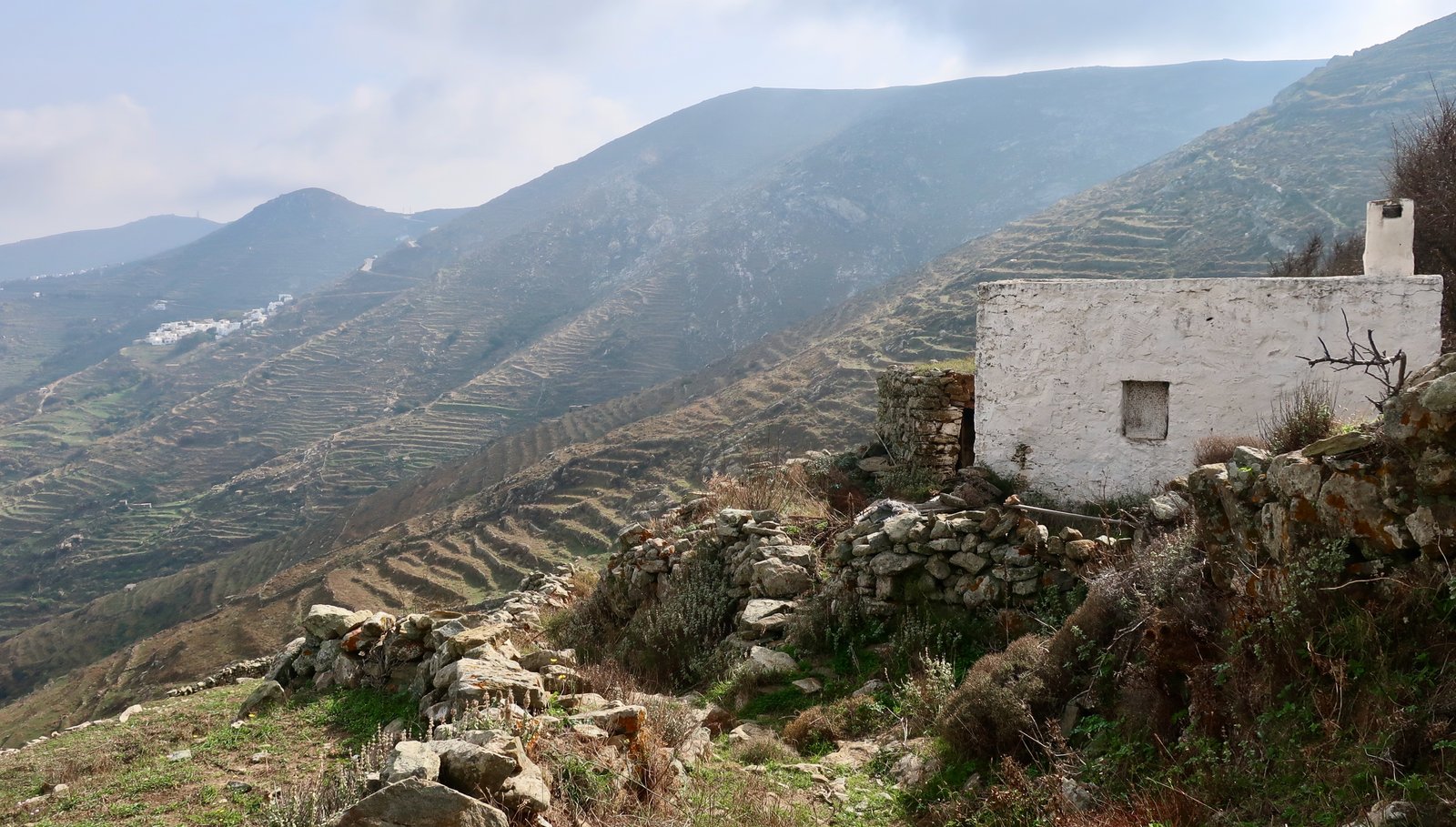
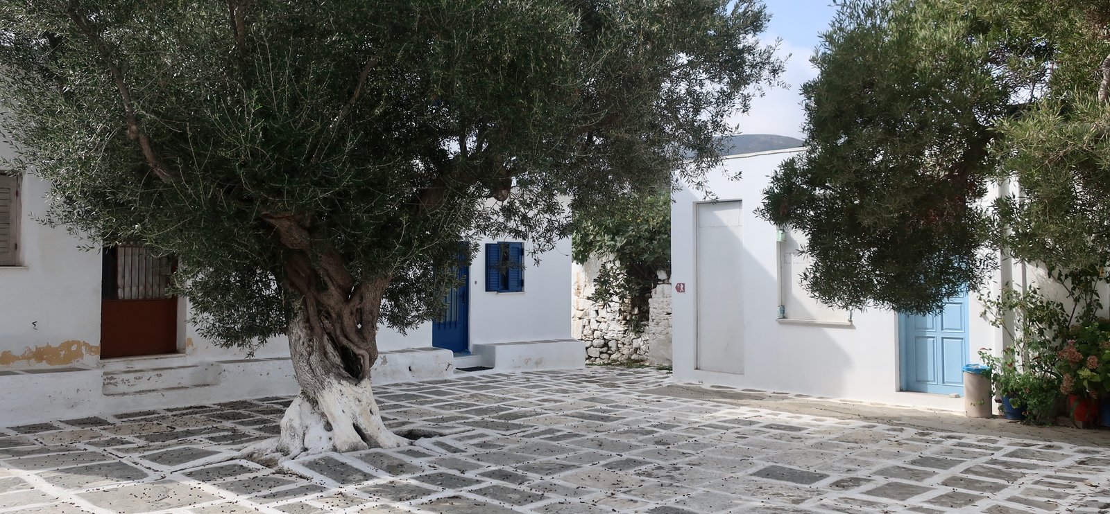
Trail 4 leads on through the terraces to Panagia, a small, ex-agricultural village of several dozen box-houses encrusted onto a hillside. There’s a tiny shop where the scales are predictably non-digital; sales are measured by the plopping of tiny brass discs of varying sizes, like thickened coins, onto metal bowl-plates. All prices are rounded up or down. An olive tree in the village square appears to have screwed its way up from underground and broken through the paving slabs whole like a magician’s bunch of flowers.
Trail 4 leads into Trail 5 and drops down to Sykamia, the first half a nice, narrow paved path in part between low walls, the second half a dirt road to the beach. Far better, when we did the anticlockwise circuit, was the route up from Sykamia on Trail 7, which according to the Anavasi map is uncertain, unmarked. In fact it is very, very beautiful all the way to the point at which it re-joins Trail 4. Leaving Sykamia beach, it hugs the coast as far as Yialoudaki Bay, where waves pound in and suck out of the tiny beach. From there, rather than follow the river bed, we took the obvious, steeply-climbing path, that leaves the western end of the beach and climbs in a straight line (on the map at least), up towards Cape Ai Ghiorgi, before doubling back on the ridge of the hill and re-joining Trail 7 maybe a kilometre further on, as per the map. This is a wonderful old stone-laid path, briefly a little indistinct when climbing away from the beach. The old church of Agios Giorgios Viglis near the tip must once have been at the very end of the world. Even now, with an ugly dirt road scoured up to it, (not marked on the map), it seems hardly less remote.
This again is ancient farmland. Along the ridge, as the path comes and goes, there are threshing circles and the ruins of a few basic old buildings still tight against the elements. After Pyrgi, which is nothing more than a name on a map, the path bends obviously to the left, then does a succession of dinks back and forth, in and out of clefts and valleys, softening gradually, before slipping almost imperceptibly into Trail 4.
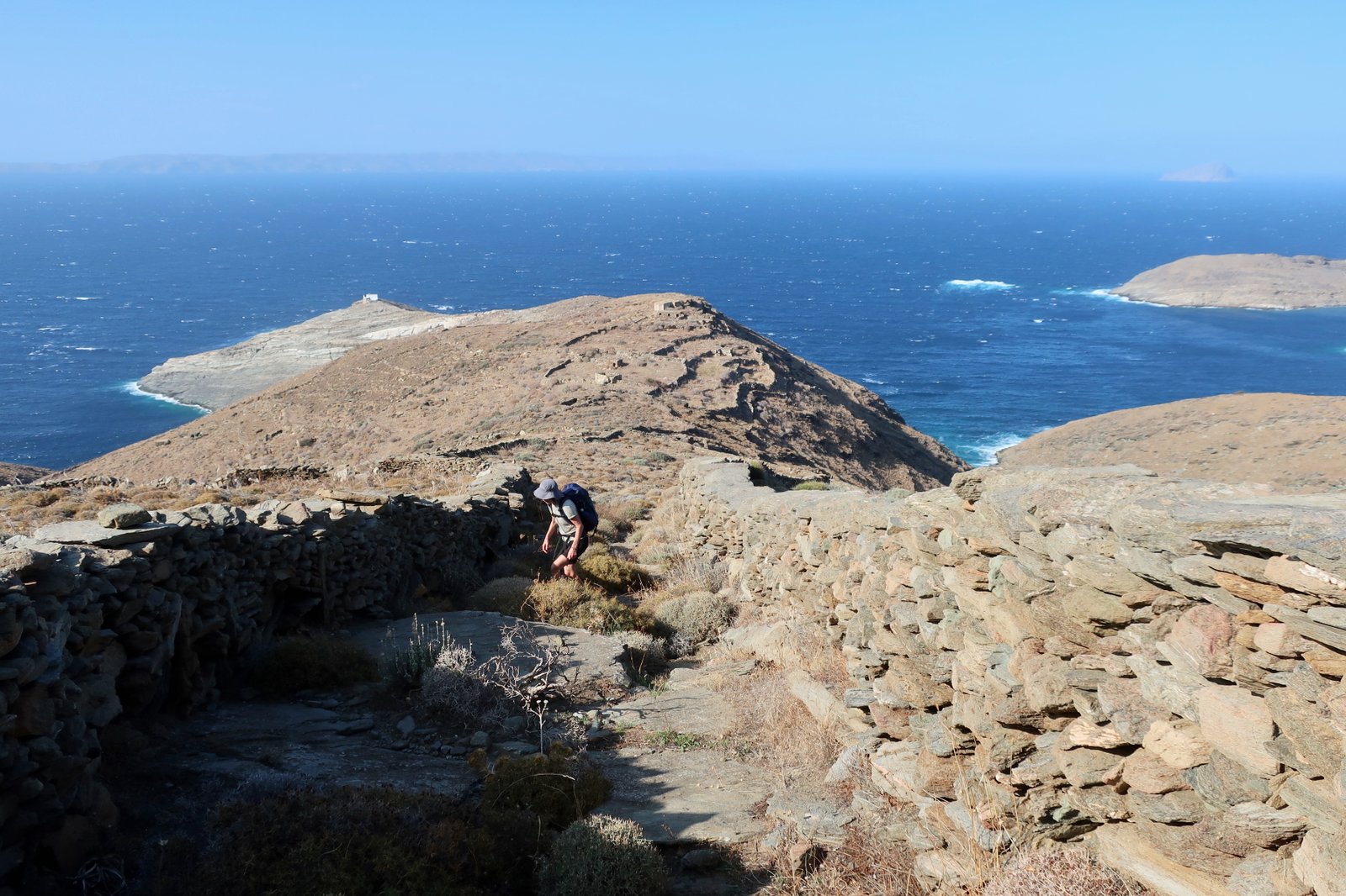
From the other side of Sykamia beach, on a clockwise circuit, Trail 6 runs along the northern slopes of the once-terraced, now mostly abandoned valley that makes a long vee from Galani to the beach. Some small amount of agriculture is still happening in the flat land just behind the beach. The flanks of the valley, every single square centimetre of it cut into terraces, serve no more purpose now than as textured background to the path. So often on Greek islands we spend our time walking through artworks of shape and texture like this, with the blue of the Aegean somewhere down there at the end of the trail. In the other direction, a clinging white mountain village.
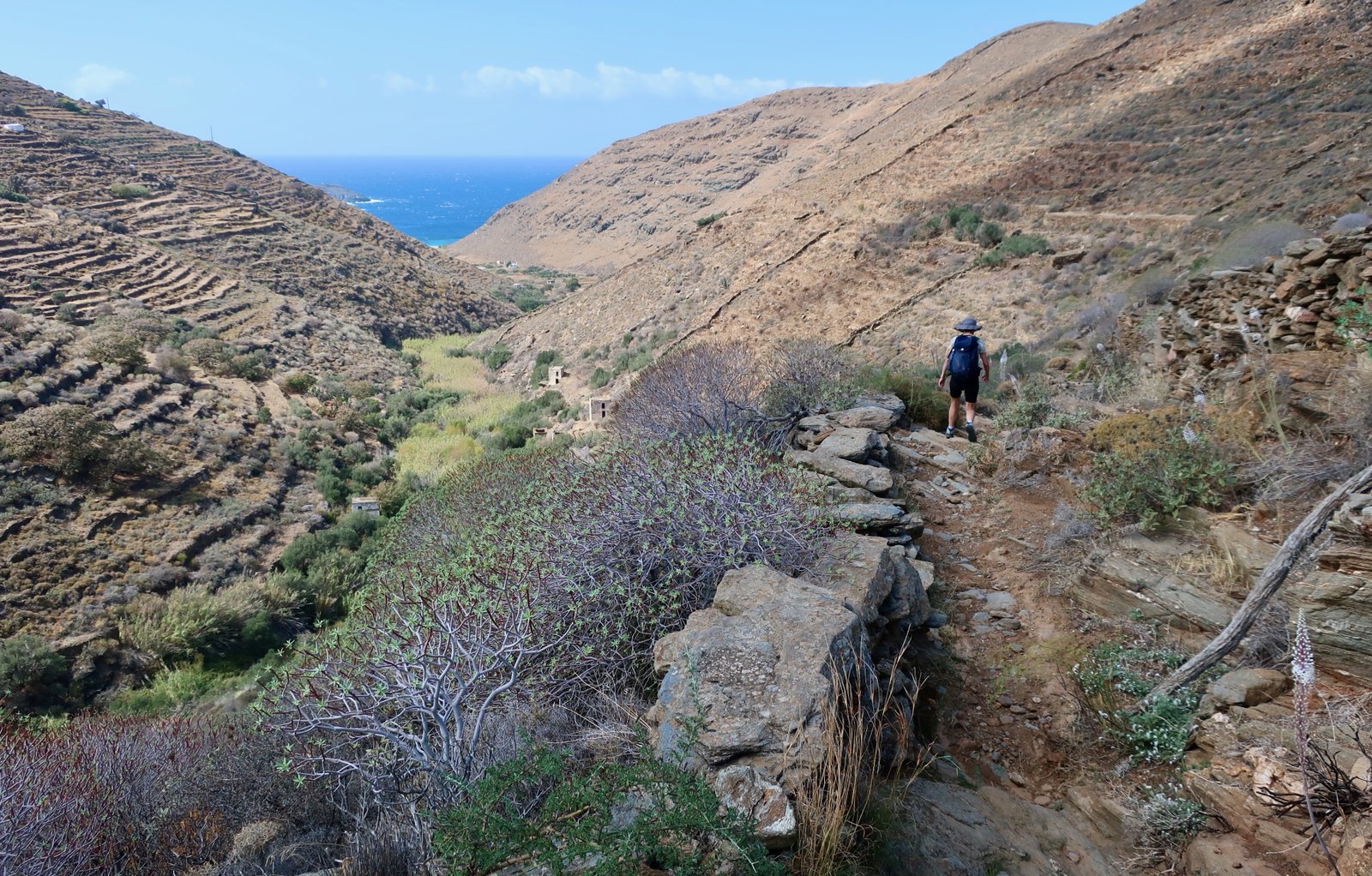
After Galani Trail 6 becomes the logical old connecting path to Pyrgos, the neighbouring village. Much of it is stone-laid. Walking it you can practically see it disappearing, the stones slipping, vegetation invading, a narrowing from stone to dirt to a thing that exists in practical terms only in memory. It visits a couple of churches on the way, one of which when we passed had recently been re-painted. This unblemished perfection, mostly white with blue and possible red, is an incongruity we almost get used to in the blur of the landscape, anything but crisp and primary, until we stumble upon another example, another made-up church and it looks suddenly as utterly out of place as a giant abandoned piece of lego.
From here to Pyrgos or Galani there are various alternatives. In both directions we’ve walked along the road past the Taxiarches monastery, a fortress planted on a bare hillside in which one monk lives. Within the walls – if you manage to get in, the monk is not as welcoming as most – whereas in most monastery complexes there’s space for lovingly-tended greenery, fruit trees, flowers, great pots of basil, for steps and walkways and arches, here the central church seems too big for the space in which it has been built, almost a prisoner. It pushes out towards the monks’ cells that line the outer walls.
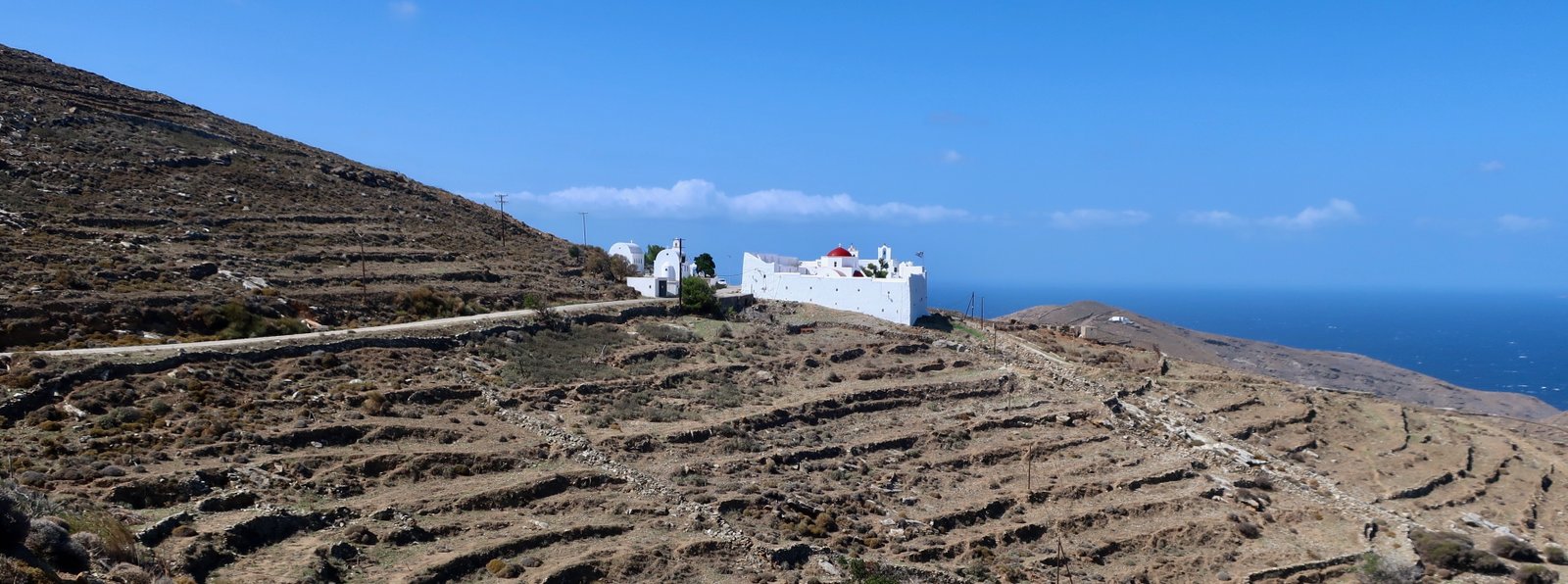
From the monastery we have taken both branches of Trail 10 that go up into the highlands either side of Xero Chorio, and by some route or other rejoin Trail 1 back to the Chora.
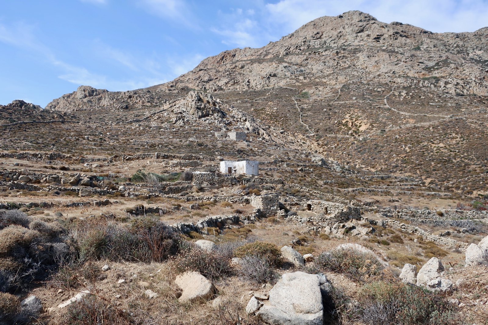
Panagia Skopiani, north of Kallitsos and just around the corner on Trail 10, is a perfect place for coffee or lunch, depending on the time of day. Looking almost due north, there are views down to Platis Gialos Bay, a dog’s open mouth on the map and a place of shelter for small boats up here on the northern, exposed side of the island. Looking to the right, on the ridge of a hill there’s a tiny, abandoned grey-stone village, that may be only several hundred years old but from the vantage point of the church seems prehistoric. It’s hard to understand why they would have built in such a wind-battered place with no obvious protection from raiders. There appears to be a path down from the church.