
For those who don’t know, it’s not the Venus de Milo, it’s the Aphrodite of Milos. And they want it back.
A local farmer found it in 1820 in a field between Plaka and Tripiti and promptly sold it to the French. (Around the same time a German called Carl Haller von Hallerstein was carrying out the first excavations of the nearby amphitheatre. He bought it – the amphitheatre – and gave it to Ludwig I, the future king of Bavaria. How can you buy an amphitheatre?)
In 2017 the mayor of Milos initiated a campaign to bring the Aphrodite back. They fixed a date, April 2020, the bicentennial of its discovery. Several years later it’s still in Paris, which is perhaps a good thing. Even if the justice of the campaign is pretty much a given, for two hundred years the Aphrodite has been burnished up and sold to the world. What on earth would happen to Milos if it came home trailing its pop star glory? A significant increase in visitor numbers at the very least. Plaka, where they’ve slated the old girls school to house it, would be swamped. Imagine the flow of huge cruise ships nosing into Milos Bay, the troupes of tourists dawdling through Plaka behind a little flag or pole held high.
People must have thought of these things. I don’t know if it’s even legitimate for us to express an opinion.
For an island of its size (very roughly 23 kms by 13 kms) – for any island really – it’s unusual that Milos has so few hiking trails. Other islands in the vicinity have a wealth of old paved paths: Folegandros, Sifnos, Serifos, Sikinos. Even Kimolos, Milos’ less well-known neighbour. Perhaps it’s because of the mining, too busy digging down to bother about coasting over the surface on cobbled stones.
Even today Milos is still messy with quarries and mines. In the deep past it was obsidian, sharp and glassy, a cutting and stabbing blade that as long ago as 13000 BCE was exported from Milos all around the Mediterranean. Since then a variety of volcanic minerals, plus sulphur and gypsum, have been mined. Ancient painters used earth from Milos as a pigment; Milos, the island, has quite literally been spread into countless famous images. When you travel around you can’t help but notice the disembowelling, as if a furious giant had been hunting for buried treasure.
In 2021, readers of Travel and Leisure magazine voted Milos the best island in the world. Ha ha. The idea of there being a best island. The idea of it being Milos. Still, we scratch our heads and wonder why, and then do a trawl through internet images; most of them are either of the northeast coast or of Milos’s picturesque boat-garages, both profoundly Instagrammable.
Milos destabilises us somewhat. We hardly know what to do. Instead of hiking as the foundation, we’re forced to think instead of activities, of which the limited hiking is just one among several.
In Adamas, the port, we swim in the morning. We have a thing for town beaches and Lagada Beach is a good one. Adamas is a town, not a village. It isn’t Ermoupoli or Corfu, where the thrill of urban swimming is even more an act of self-assertion, but early morning swimming anywhere is uplifting. Right next to Adamas, Lagada is a shelter for small fishing or pleasure boats, twenty or thirty of them usually dotted around the bay. You swim through them, you swim around them and allow them to bend your direction – even for experienced swimmers moored boats are islands of security, blessed things. You wind your way through them then carry on across the next bay, with the French war memorial at its far side. The sea-floor is unpredictable, one moment you’re in two metres of water, next you’re swiping through sea-grass and have to swerve out. It’s always calm, tucked in away from wind and the waves. Out of season it’s a little warmer than the north coast. The far side of the bay, if you go just there and back, is only about five hundred metres. An easy round-trip before breakfast.
In mid-Spring, walking home from the beach along the seafront there’s more activity than in most pre-season Cycladic island ports; past the station where the ferries come in, past a row of tavernas, people are always out, waiting for the next ferry. The bay is one of the biggest, best, safest moorings anywhere in the Aegean. Like Santorini it’s a water-filled crater, the remains of a volcanic eruption. But here the angle of the island is different, the access to the crater not so open to the weather. There are always boats: yachts, fishing boats, motor cruisers. They tie up along the promenade and on the pontoon-arms.
Adamas is the port and new centre. The heart of the island used to be the cluster of low plateau villages to the northeast: Plakes, Triovasalos, Pera Triovasalos, and, on the other side of the small ridge, facing towards the central bay, Tripiti and Plaka. Plaka was the capital. It has been the most-transformed, has adapted to the change in circumstances of these past few decades with fresh white paint, shutters and doors in every possible shade of blue. The squares are full of tables and chairs. There has been a conscious draping with flowers. A church sits atop the small hill at the heart of the village, with stone steps up. It’s all very pretty, and exactly what visitors think a Greek-island hill village should be.
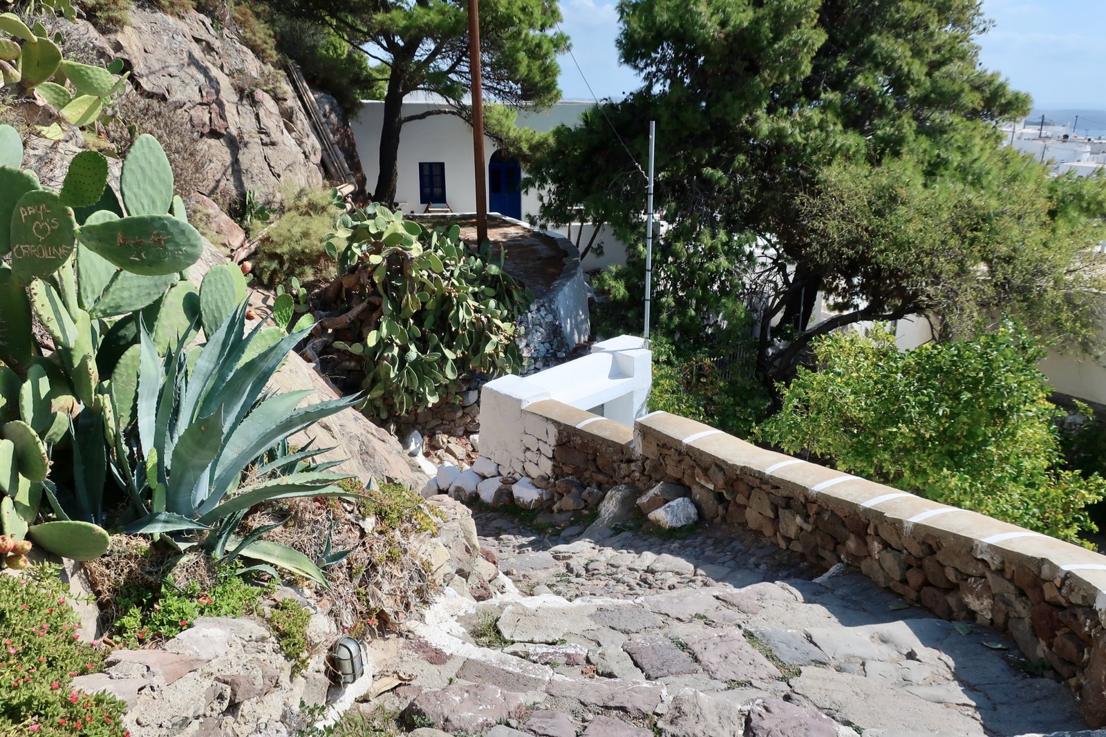
The settlements on the other side of the ridge, despite having island infrastructure – the hospital and the schools – are fading. Should the future of Milos involve the return of Aphrodite and a consequent tourist surge, they will perhaps be dormitory-villages for an expanded work force. One day, walking back towards Adamas, we stopped in Pera Triovasalos, built around a small hill, and asked a guy where the village centre was. We wanted a square, with a few bars and tavernas. He pointed us back down towards the dull main road that bypasses, where there’s a short line of functional shops and cafes. There’s nothing up here, he said, amused at the idea.
On a second or third trip to Milos we walked through Triovasalos, having forgotten we had been before. Quite often when re-passing through somewhere we recognise a detail. It could be anything at all. It’s odd the things that stick: a wall, an overhanging tree, a small church that makes an island between two roads. We slow and look around and for a few moments are acting out the metaphor of a light unexpectedly coming on. In Triovasalos we were pulled up by a familiar street corner with some shops closed off by open metal shutters, or netting; it’s like vertical walls of dust, of dilapidation, of no importance but unlike any other island detail we’ve come across.
You can go to Pollonia for a day. It’s at the northeast tip of the island. The first time we saw it, from a ferry that had stopped at Kimolos on the way to Milos, it was North African, a blazingly white, flat village built around a shallow bay protected from the wind by the bulk of Kimolos. For thousands of years it must have been a prime location. Now it’s Milos’s minor, second port. A small ferry goes to Kimolos. You can do a day trip. Not surprisingly, given how attractive Pollonia is, there’s a swathe of new development, particularly between the main bay and the sea on the other side of the promontory above the village; the streets in this neighbourhood are tell-tale grid-like, planned and logical – which is to say, new – not at all organic.
Still, it’s easily the nicest little coastal village on Milos. There’s a line of several tavernas in the old centre by the dock, and houses right on the water on both sides of the bay, and fishing boats and a number of beaches and swimming places. And there’s the lure of day-trip hikes to Kimolos too.
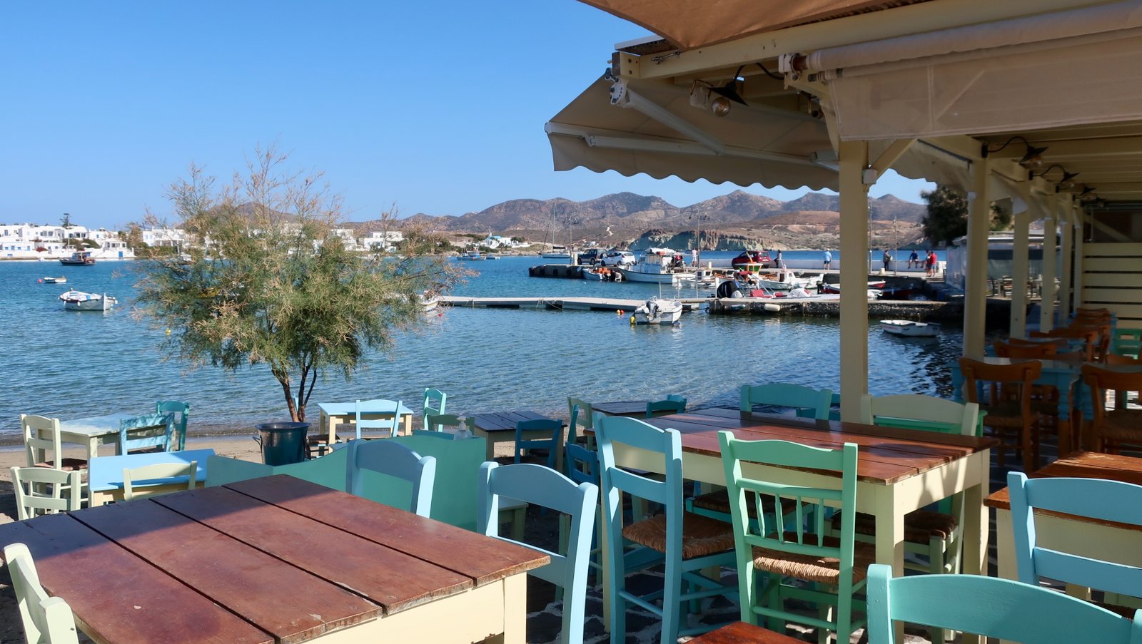
Pollonia is becoming a little bit chic but Adamas is the hub. It has most of the tourist accommodation, most of the cafes and restaurants, a growing proportion of the island’s five thousand inhabitants and the bulk of the car and motorbike rental places. More than on most islands you need wheels on Milos. There’s a limited bus service, but almost everyone who comes will get their own transport, because although Adamas is the centre of accommodation and life, it isn’t why people come. They come for the water: the beaches, the lunar landscape around Sarakiniko, the long northeast coast with all its rocky, indented swim-places, the swimming all along this coast as good, as diverse and playfully interesting, as anywhere in the islands.
HIKING
There’s almost no hiking proper on Milos. The Terrain Map of the island does show a couple of marked trails in the empty western half. Plus there’s the beautiful, infinitely swimmable, northeast coast, not a hiking path, but it’s there to be explored and on foot is always the best way.
HIKE 1
From Fylokapi to Mandrakia along the shore most of the way, on road and beach and coastal rock, then road home to Adamas, approx 15kms. But all the swims and diversions stretch the day
You can walk along the northeast coast, from Pollonia to Mandrakia, even as far as Firopotamos, although we didn’t. Take the bus from Adamas all the way to Pollonia. Or, if planning to go to Pollonia another day, get off at Fylokapi, a couple of kilometres short, where there’s an ancient settlement, founded around 2300 BCE and inhabited without interruption for over a thousand years before abandonment. Time moves at a different pace in the islands, not so much biological or historical but material, as if everything was reduced to rock and wind and water. Today only a few low walls remain, a sort of sketch. But fragments of ancient fresco have been unearthed and pieced together. They’re reminiscent of the frescoes from Akrotiri on Santorini, and similarly ancient. Flying fish, ethereal and joyful.
Most of the day there’s no actual path, there are beaches and rocks. In all our time in Greece, in one day we’ve never entered the water as many times as we did on this day. Not that we expect to get anything different from the next swim-place, the next snaky channel between low rocks, the next gulley to swim through where we look straight down through deep water while grazing past the rocks on either side. But they’re all irresistible.
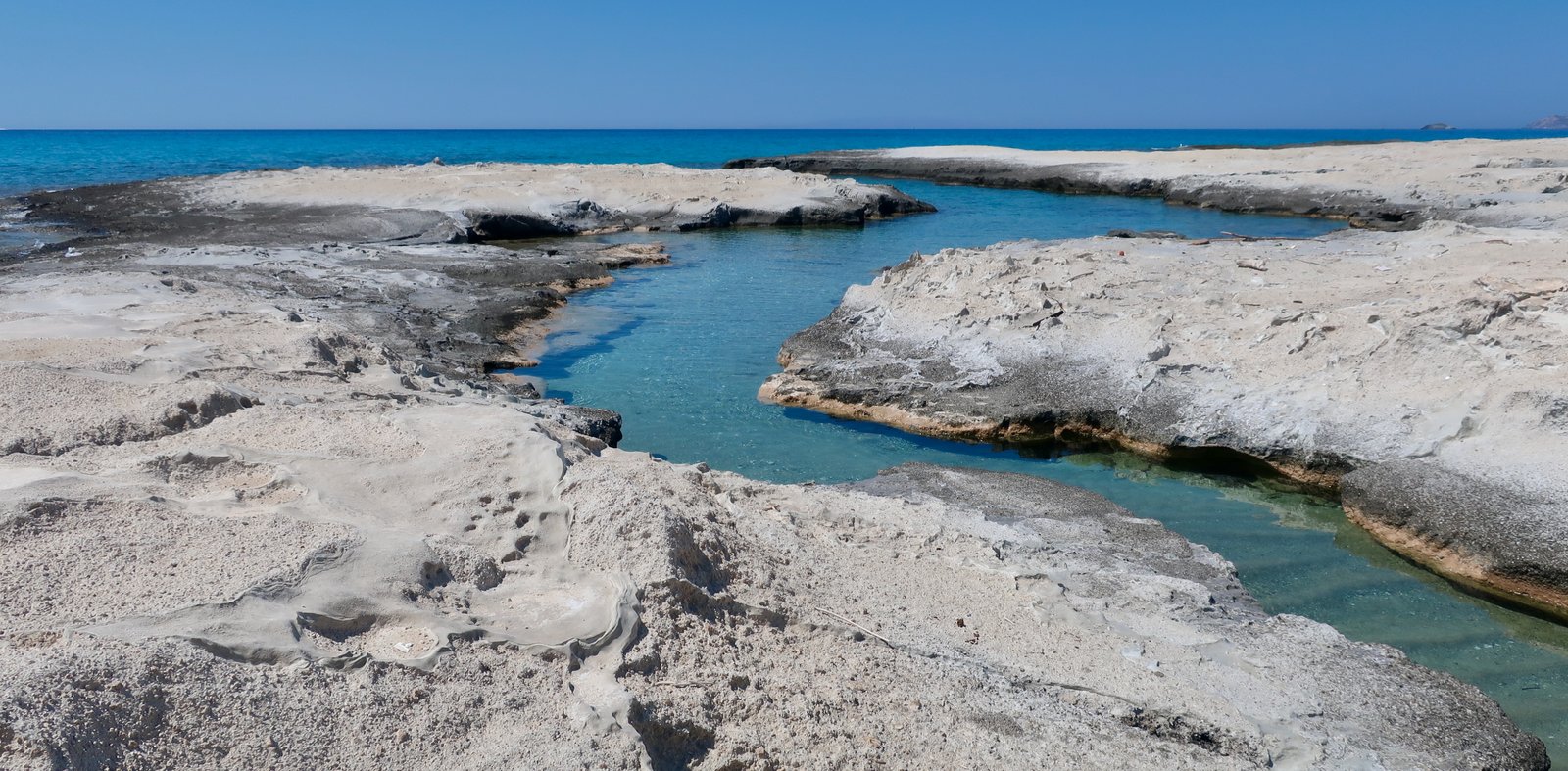

So perfect that even we become almost instagrammable, sitting on a rock eating lunch after a fairground-glide through a watery fissure.

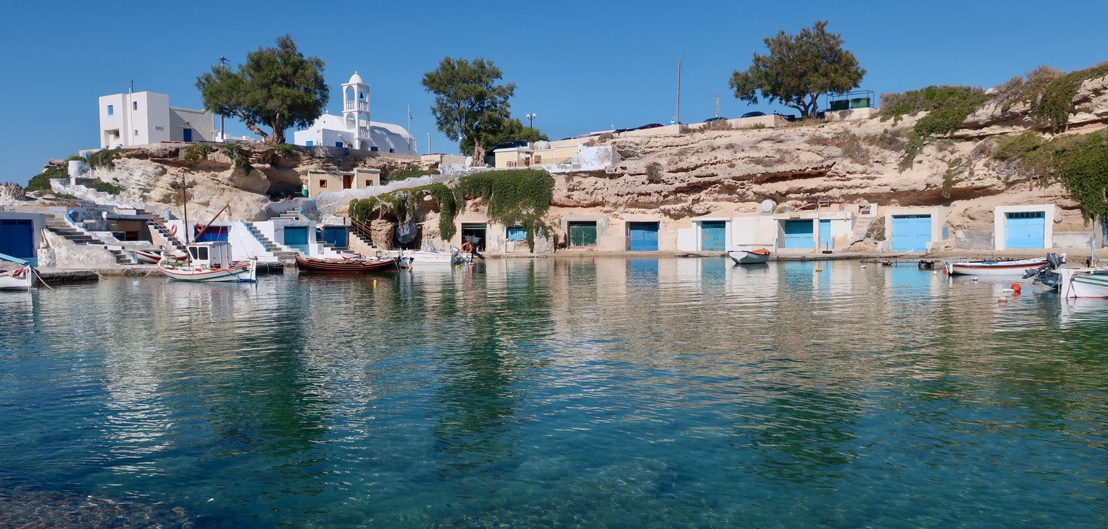
Not to mention the beaches, lovely beach after lovely beach. Or the tiny rock-bays where houses have been built right on the water, sea-homes for sea-people, reeking of the ocean. On the bottom level are boat-garages, above them accommodation. Small fishing boats can be floated all the way home, just a heave at the end and the door closes, safe inside. This sort of construction, that seems appropriate for a different tribe, with different customs and histories, is specific to Milos and Kimolos.
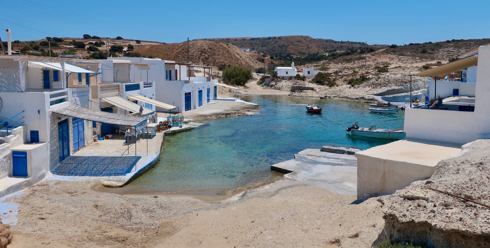
On Milos there are boat-garages at Agios Konstantinos and Mytakas, Mandrakia, Firopotamos, and around the corner along the eastern edge of the entrance to the main bay, Fourkovouni/Areti and Skinopi, all of them shades of blue and white, like Greece itself in popular consciousness. And then, sitting directly under the amphitheatre there’s Klima. It was the port for the ancient city of Plaka and has the longest row of boat-garage houses on the island. The wood of each house, the doors and windows, balustrades and external staircases, has been painted yellow or green or blue or orange or purple, a child’s paint-box of colours. On the internet there are millions of photographs.

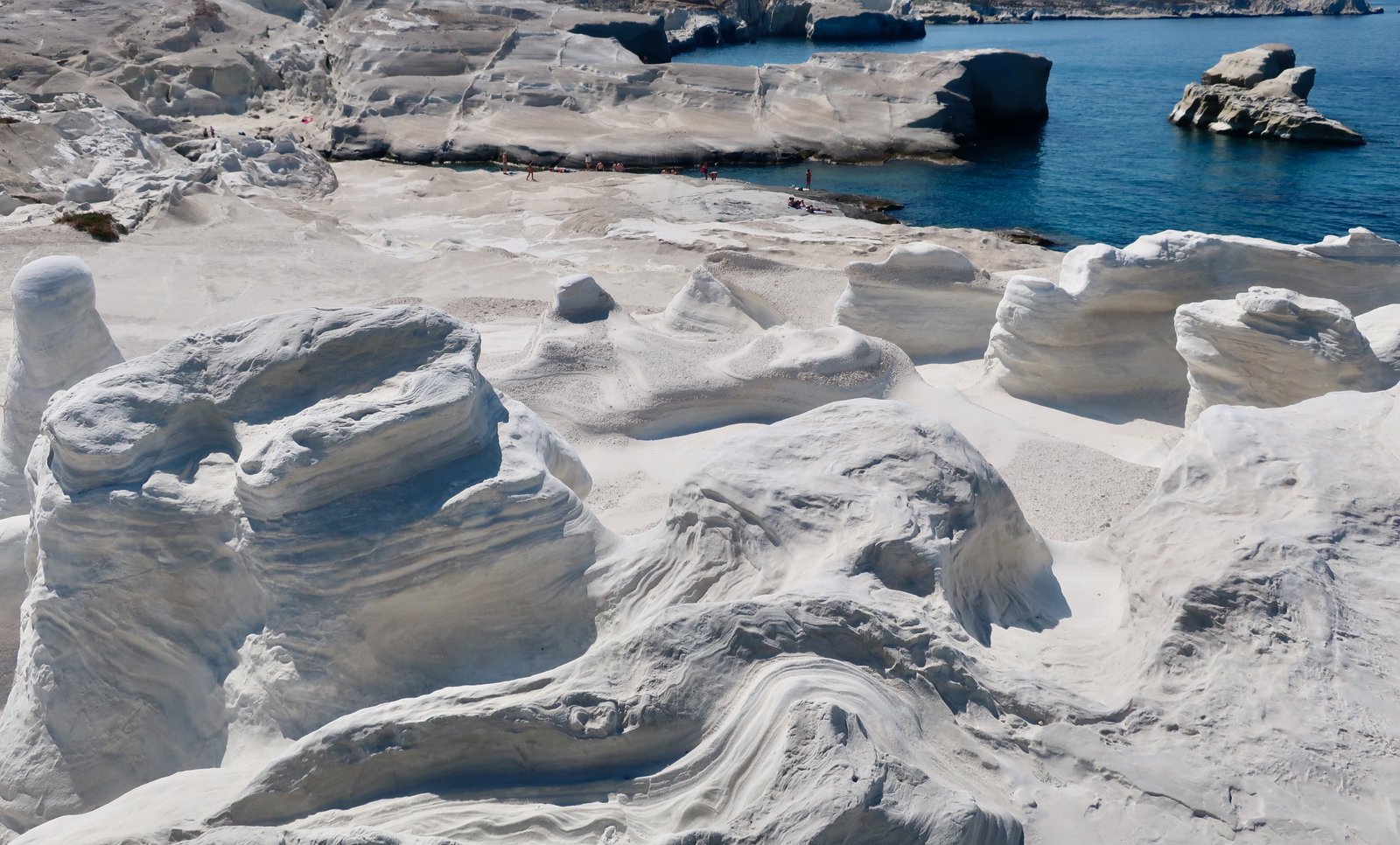
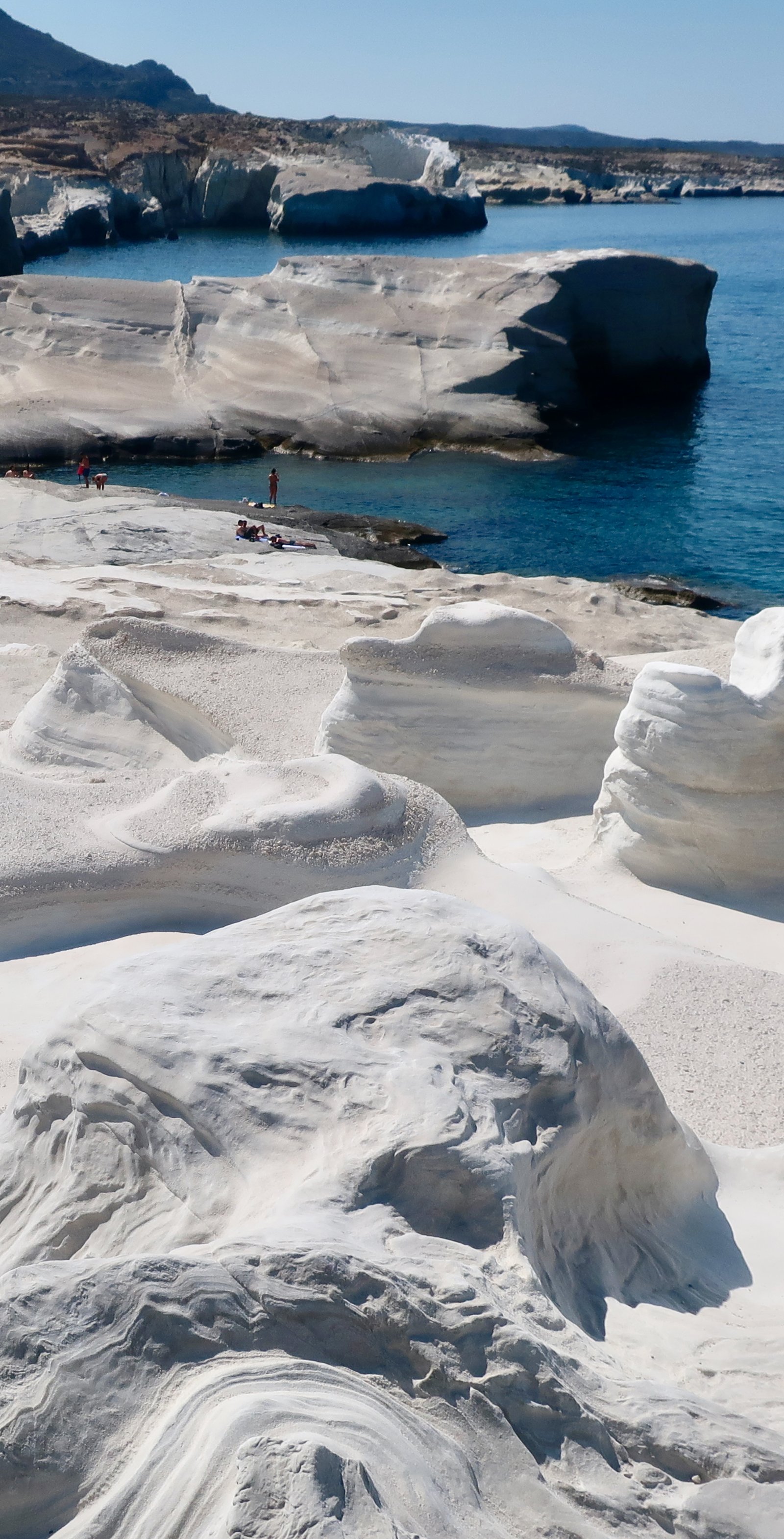
Back on the northeast coast, our watery stroll, the most-visited spot of all is Sarakiniko, a minuscule beach at the end of a sinuous channel between white, volcanic, rock formations. It’s the moon, say all the internet photos. And it is. Or it’s the moulded area around the swimming pool in the town leisure centre, where there are plastic palm trees and slides too. At Sarakiniko people jump into the water off high and higher rocky outcrops, screaming for the split second of the way down. Others stand immobile in soupy, shallow water, because having found their way there, what else is there to do? It’s hardly a swim-spot, all those legs, knee-deep, thigh-deep, to navigate around.
At the end of the coast, at the end of day, from Mandrakia, (or Firopotamos, a little further), it’s a road-walk most of the way back to Adamas, passing through Pera Triovasalos and Katifora, before sneaking into the back of Adamas ideally along the dirt-lanes of the flatland behind the port. Just before this, coming down the hill from Katifora, having bypassed a previous, longer switchback, there’s a double-switchback with no pavement and no easy place to get off the roadside. It’s not a nice end of walk in May and would be a little uncomfortable in season, with traffic.
HIKE 2
The whole western half of Milos is a Natura 2000 protected area. The tarmac road stops abruptly at the church of Agia Marina. After that, roads are dirt, and although flat and easy to drive on, car rental companies insist on a four-wheel drive if you’re going that way. And if you are, they also say, watch out for Milos vipers. In all the time we’ve spent walking in the islands, we’ve seen no more than several dozen snakes in total, including seven or eight one sunny, early Spring day on Thasos. And only one living viper, ever, on Corfu. Snakes are small and shy and hear you coming.
On the Terrain Map there are a few dotted paths on this half of the island, but no signs, no numbers. Following the scenic route on the map we drove to a spot where we could leave the car, near a place marked Xerokambos, a tiny farming hamlet of three or four houses. From there on foot down to Triades Bay on the west coast, past Aghios Nikolaos, and back up to the car taking a more southerly route, just bypassing Aghios Athanasios. The paths that are dotted on the map mostly don’t exist on the ground.
At Xerokambos a small fork leads off the main road straight on past the houses. You have to go through an openable gap in a wire fence to the left, a hundred metres perhaps from the last house. After which there’s only the map with its contour lines to give hints, its dotted black line for direction. There are various small hilltops. The highest, only 299 metres, in front of which you turn to the left, is not visible from the houses.
Three quarters of the way down to the coast, Aghios Nikolaos is a strikingly basic, ugly church. It sits in a pale dirt grove of olives and from the outside, were it not for the cross above the entrance, is more buttress, or bunker, than church.
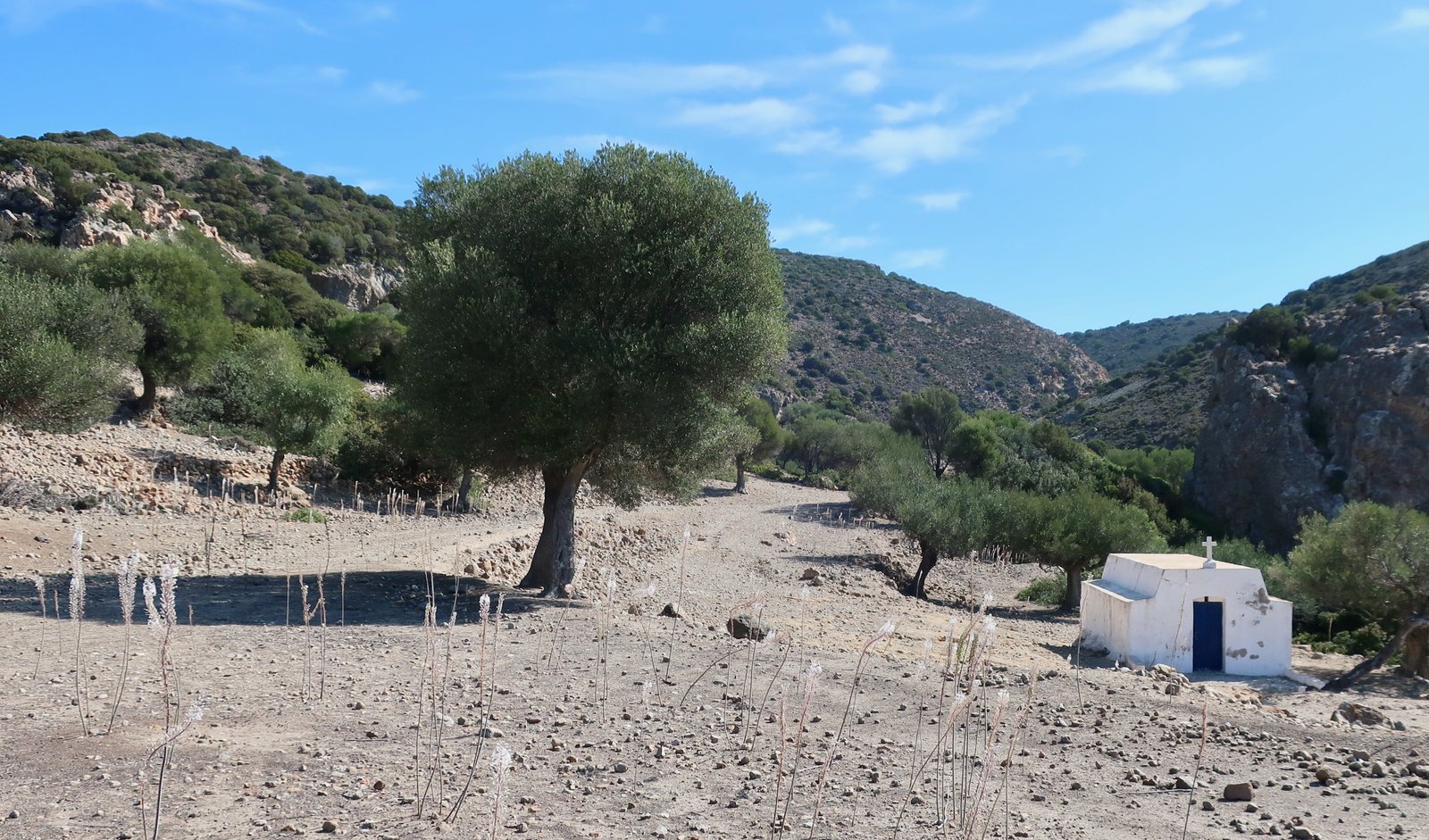
The hike down is nicely desolate. In the distance, behind the beaches, telltale Milos piles of dirt mark more quarries or mines.
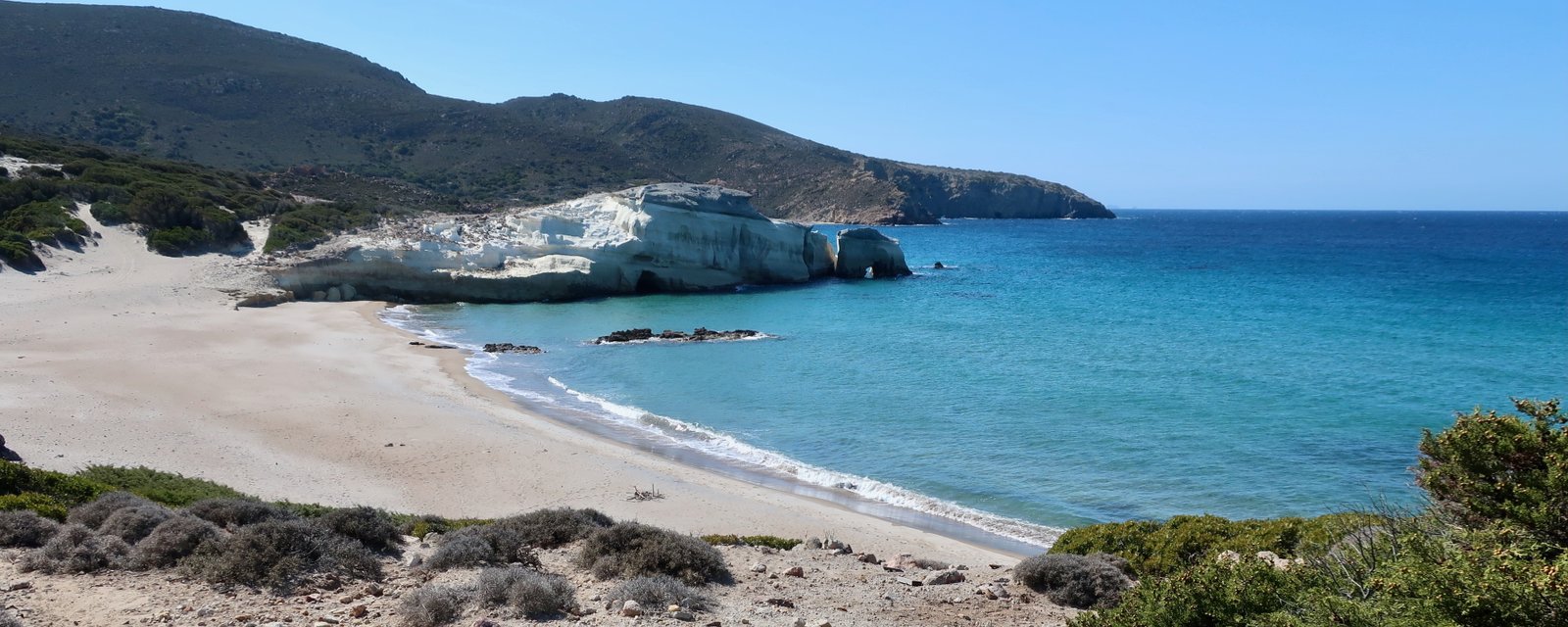
The beaches of Triades Bay are all lovely. In May there were four Italians and us. In season there will be a few more people but never crowds, it’s too far from Adamas and Plaka, much too far from Pollonia, and the roads for the second half of the way are not tarmac. (Although there may be boat-trips in the summer, bringing in day-trippers.)
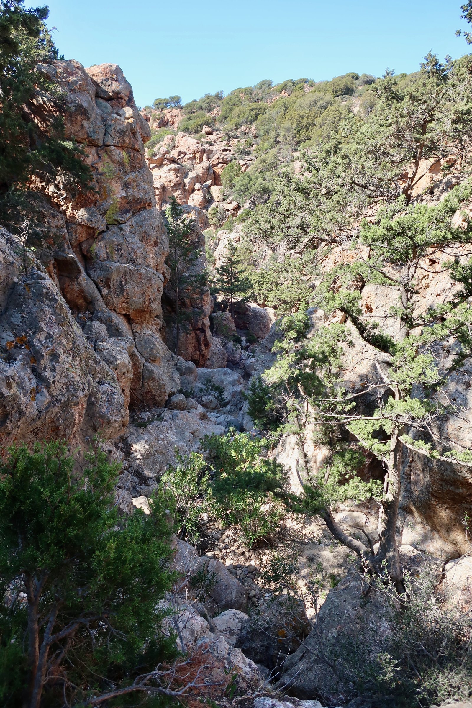
From the most southerly of the three main beaches in the bay, on the map a dotted path leads inland along the course of a stream, almost dry in May, just a couple of small, muddy pools along the way. It’s a playground stroll and scramble, much of it in shade. In a couple of places rock walls rise up a few metres either side and where, after heavy rain, there must be mini waterfalls, there are piles of rocks to scramble up and over. Depending on the water situation, it may be necessary to divert off the stream-bed from time to time.
When we reached a first dirt track, by which time the land had flattened out on both sides, we left the water course and took the track to the top. According to the map, there are two alternative dotted trails we might have taken instead. One of these goes to Xerokambos, where we started. The other hits the main dirt-road a kilometre or so further south.
After driving back to and having lunch at Agia Marina, we walked up Profitis Ilias (750 metres). This is a proper path, the proper path on Milos, with easy-to-follow cairns all the way to the top. It dives to the right off a dirt track a kilometre and a half from Agia Marina. We had been warned by the car rental people and by a local guy at Agia Marina about the wind. It was perhaps the blowiest climb we have ever done, which is saying something. Had the wind been coming from a different direction, a direction that would have tended to push us away from, instead of in to, the mountain, it wouldn’t have been possible. But the wind instead shoved us uphill, and was in our faces coming down. As is often the case, the summit is a mess of aerials, with a small church for shelter. The view over the whole island, all directions, is stupendous. The wind was so loud we had to shout to hear each other.
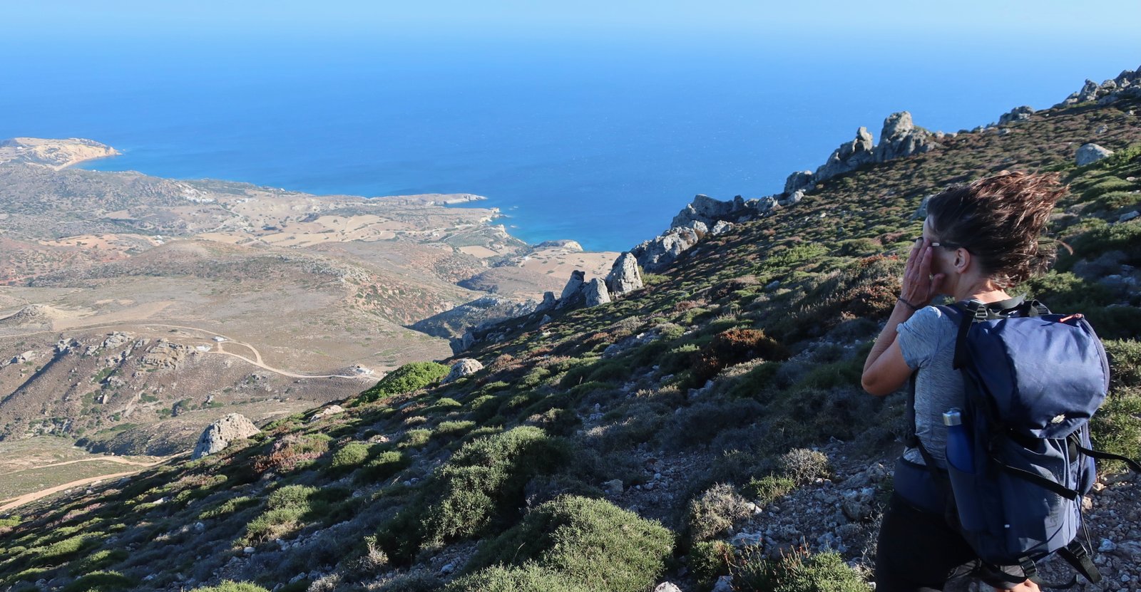
On the return, with the wind against us acting as a brake, we ran much of the way over the loose-stone hillside. It was like flying. From the turn-off onto the path proper, and with the wind behind us, pushing, it took one hour to reach the top and just thirty-five minutes to get back down.
OTHER
It’s quite easy to walk on backroads from Adamas to Trypiti, Plaka, on down to the amphitheatre and then the boat-houses of Klima. Home the same, or similar way, is probably the best idea.