
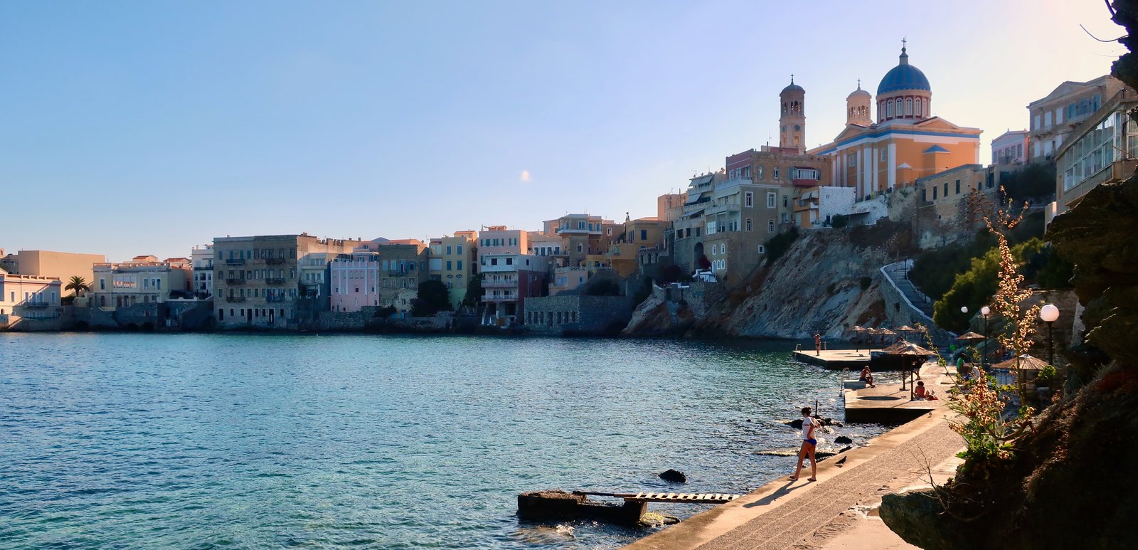

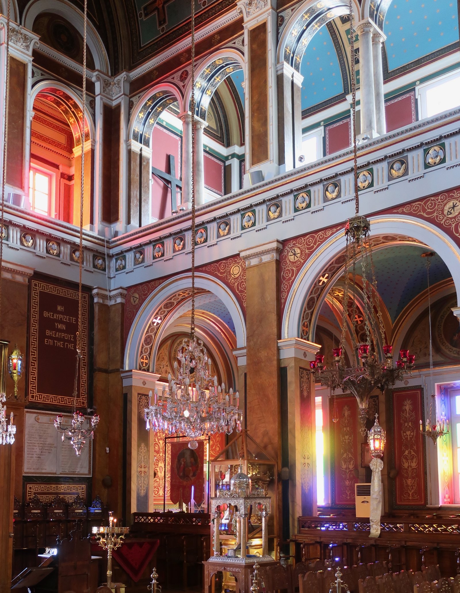
When we talk to people about Syros, we usually begin with getting up early and strolling through Vaporia, the historical maritime quarter of Ermoupoli beyond the modern port. It’s sweetly quiet in the early morning. Steps lead down to several small concrete platforms, where there are old metal ladders for getting in and out of the water, a few benches, hooks to leave clothes. It’s a no-fuss place. There are always a few swimmers: women in floppy hats who bob around in the water, chatting as they sway with the current; guys stroking out towards the open sea; a girl and her god splashing side by side. Everyone is friendly without really saying anything – a nod or smile in acknowledgement that we too like to get up early and come here. The water is sometimes a millpond, sometimes rippled, always glassily transparent. The backdrop is amphitheatrical, grand pastel-coloured neoclassical buildings, some faded with flaking paint, a few with direct sea access. These are dream places. The church of Aghios Nikolaos sits prominently in the middle, dusty pink with clean, white-piped edges, an island-blue dome, its interior a banquet. The bells ring the hour, resounding like depth-charges through the water. This is one of the great swim-places in the islands. It’s like swimming in a cathedral.
Syros is the modern fulcrum for the Cyclades. Geographically positioned in the middle of the island group, it’s a direct four-hour ferry ride from Athens. Boats connect regularly to all the nearby islands – Andros, Tinos, Mykonos, Paros, Santorini… – but also go as far as Rhodes. All ships arrive at and depart from the waterfront in Ermoupoli, with views of the two cathedrals on opposing hilltops and the old town spilling down towards the port. Compared to arrival in many of the smaller Cyclades, or to those islands that have constructed new, practical ports on their outskirts, it’s a full-of-life panorama.
The town sprung out of nothing in the 1820s during the Greek war of independence. Syros, which was neutral, non-belligerent, accepted refugees from other islands, notably Chios, grown wealthy on the profits of mastic, and Psara, with its maritime traditions, both of them devastated in the fighting. It quickly became a bustling port, commercial hub and centre for ship-building. There is still a shipyard on the southern side of town, less consequential these days, but alive. Foreign money poured into Syros at the end of the war. Public buildings and houses were built in neo-classical style. There are elegant wide streets, smooth marble pavements and steps, ornate churches. Also grand Miaouli Square, with cafes and tall palm trees, an impressive town hall, a library, and just behind it a very smart little theatre, mini version of La Scala. It is quite unlike anything else in the Cyclades.
Today, as the administrative capital of the Cyclades, there’s a permanent population of 21000, with 14000 of those living and working in Ermoupoli. Many are civil servants, people with stable all-year-round jobs, all-year-round incomes, not dependent on tourism. Although it’s busier in summer, the town doesn’t have a dead season.
If you spend time in the islands, you’ll pass through Syros, a day here and there, filling gaps in ferry timetables. We treat it like a trip to the big city, and marvel at the elegance of it all, as if we were just in from the country.
Heading up and away from the port is Ano Syros, the old medieval capital, a cluster of small houses wrapped tightly around a pointed hill. The streets are narrow, there are many steps, straight and winding. The area was traditionally poor and Catholic. Unusually, almost half the population of Syros is still Catholic.
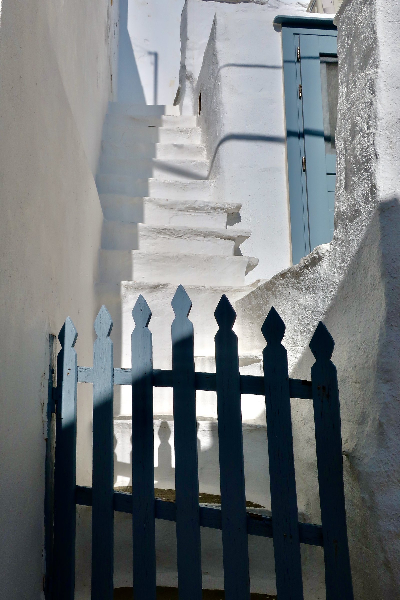
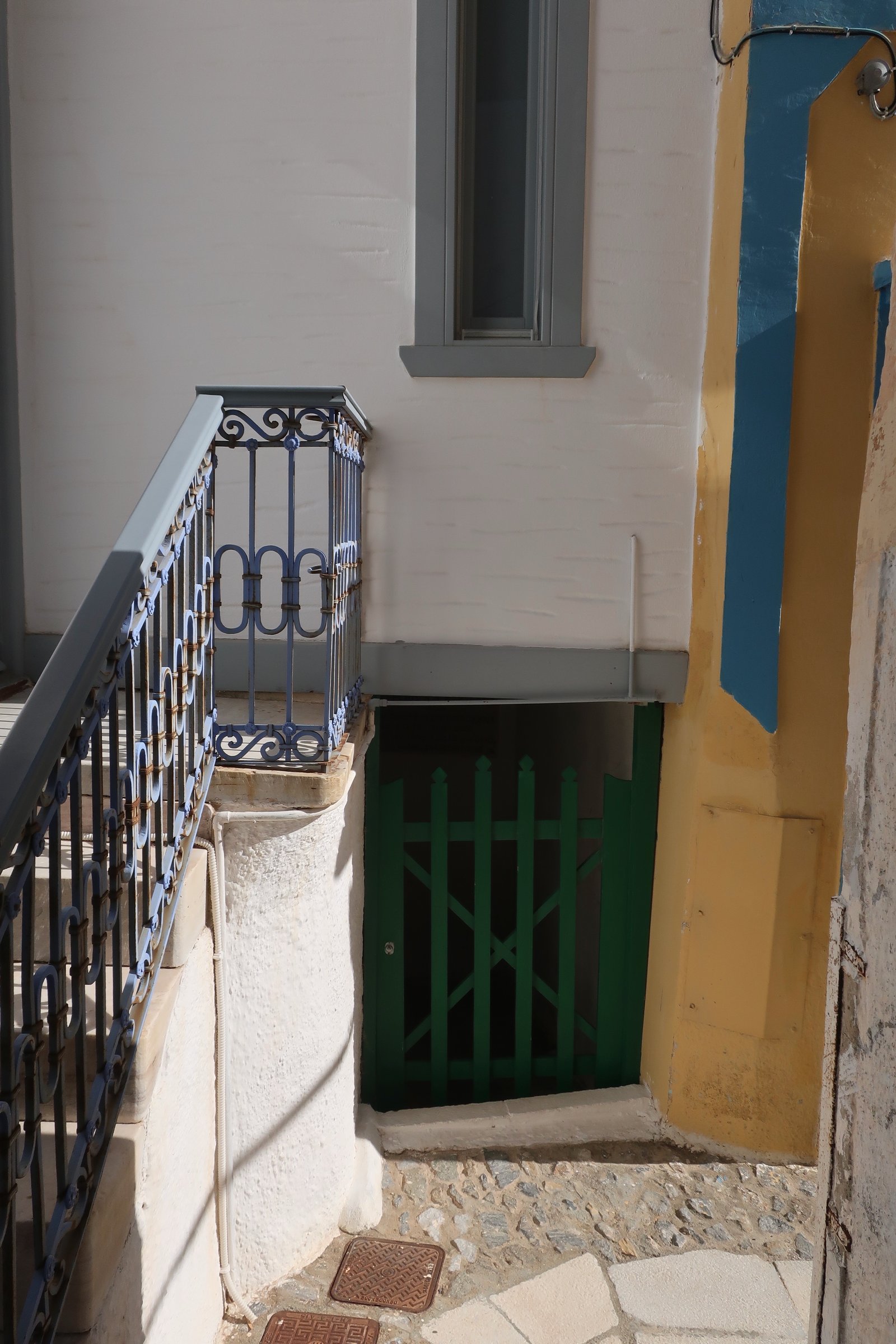
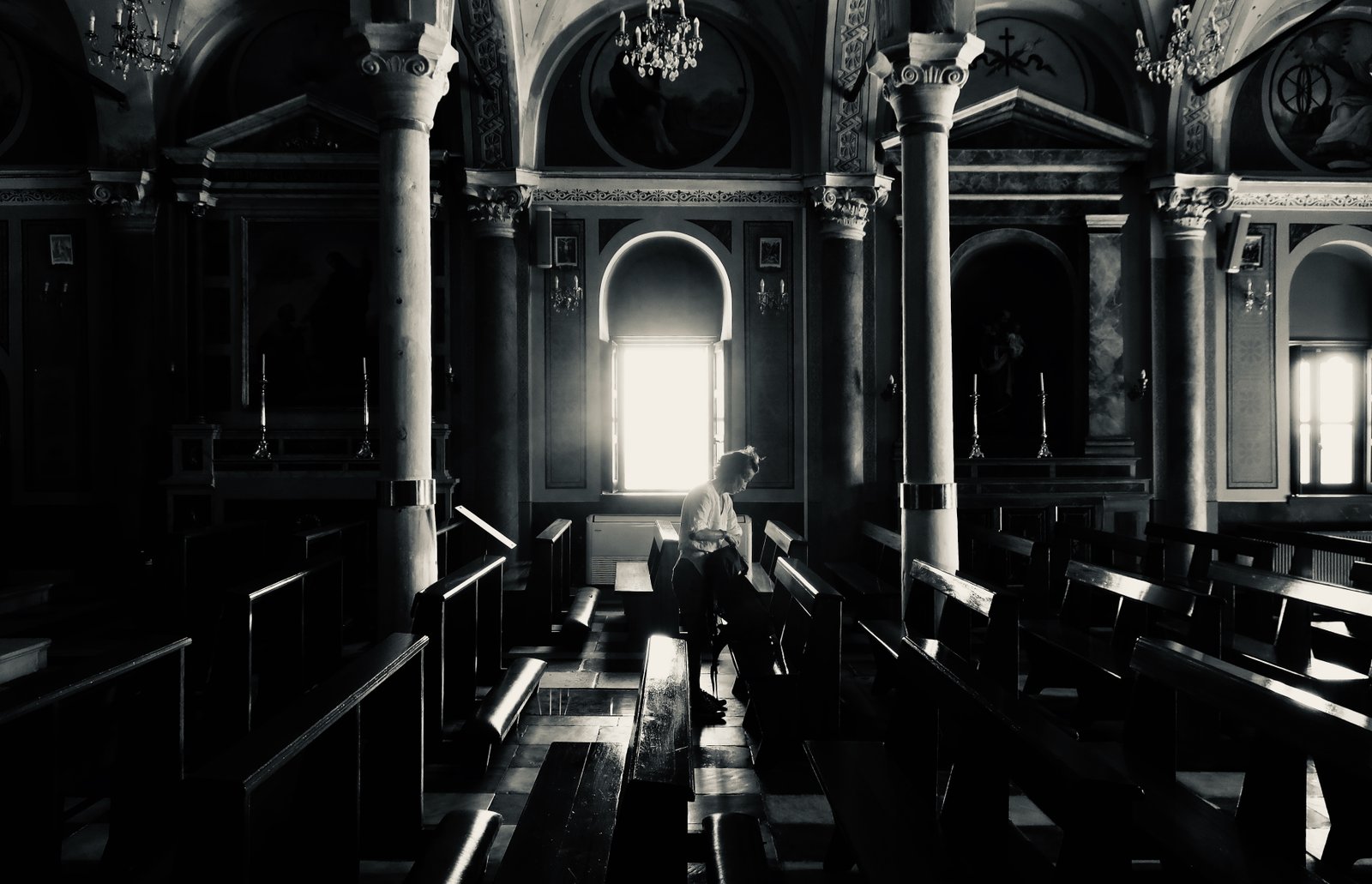
In the past, the true Syriani were Catholics (Franks) who lived on the hill and in villages dotted around the island, while the newcomers in Ermoupoli were Orthodox. St George’s cathedral is perched right on top, with panoramic views and a millennial list of its archbishops carved into a marble plaque at the entrance. First constructed in the 1200s, it has been destroyed and rebuilt several times. It doesn’t have the flashy icons of Orthodox churches, but is still a devotional bag of sweets, Greek-style.
Markos Vamvakaris, the most famous Greek popular musician of the first half of the 20th century, was born in 1905 in Ano Syros. He’s their man. At the beginning of his biography he reminisces about the sturdy houses and narrow streets, people sitting around on benches, him playing with his pals. Also about springtime on the island, vivid green countryside full of figs, almonds and pomegranates, river beds lined with oleanders, willow and mastic trees. How the weather was better in the past, the rain softer, the summers less aggressive. He talks about graceful Ermoupoli, with its fancy shops and shipping tycoons, contrasting it with his village on the hill. For anyone who has visited Greece there’s a very good chance that in some café or taverna, or coming from a car radio, or live at a summer panigiri, they’ll have heard Vamvakaris’s most famous song, Francosyriani – the Catholic girl from Syros – with its memorable refrain.
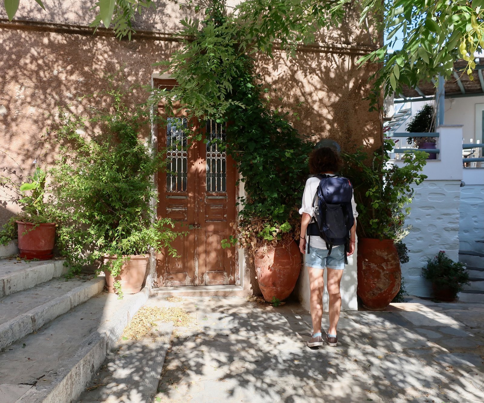
How different it must have been in the past in the hilltop villages on all the islands: no electricity, running water or proper sanitation; permanent animation in the streets – a hive of mostly women and barefoot kids during the day, the men home from work in the evenings, back from the fields. All these places are quiet now. Some houses in Ano Syros have been easily transformed into cutesy cafes, shops, or holiday accommodation, painted white and decorated with hanging flowers. There are pastel-coloured chairs in the streets and small squares. They’ve slipped into it, almost as if it was their destiny. But any bustle lasts at most for a couple of months. We drifted through Ano Syros in early October and saw no-one. When a recorded voice wafts through one of the windows, just because it seems so much more appropriate than the big screen television that was probably the source, we inadvertently presume an old-fashioned radio sitting on a shelf in a thick-walled, dimly-lit kitchen. Quite unconsciously we think to have time-travelled.
Syros, like a number of other islands, divides into two halves. The death of agriculture has accelerated the process of desertification, the concentration of populations into new coastal, tourist-centres. The wild north is remote and sparsely populated. The agricultural heartlands have been mostly emptied out. The south has a number of resort towns around the coast, with beaches, minor fishing ports, a small yacht marina, places that are popular with the locals as day or weekend destinations, but also as low-key summer vacation places for mostly Greek people from the mainland. Syros is not an island that gets large numbers of foreign tourists.
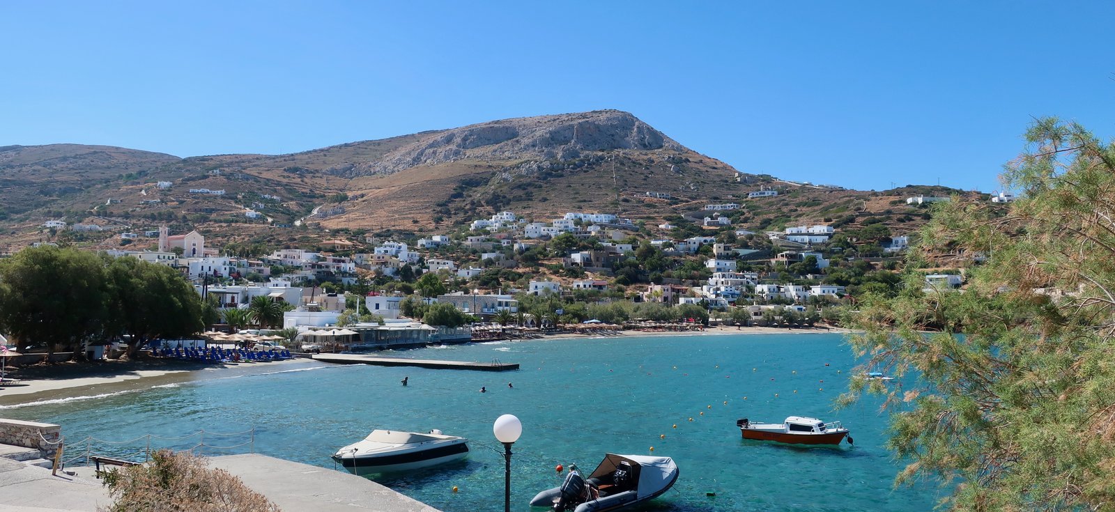
In the south there’s a good road network. Buses go regularly round and round. On one visit we stayed in Kini, opposite Ermoupoli on the west coast, just a few kilometres up and over the hill. We could have been on any small Greek island.
HIKING
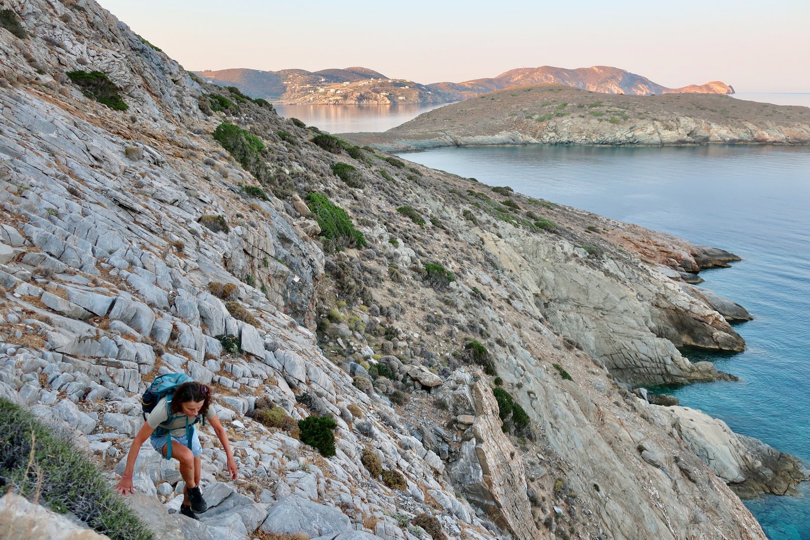
After several short visits we’d put Syros into the category of not really a hiking island, but you can hike, a little. Another couple of visits further on and we’ve partially revised that. There are some good routes, in the centre, or especially in Ano Meria, the north of the island, part of the EU Natura 2000 network of areas created to protect natural habitats and species. It’s wild and remote. A sharp contrast to fancy Ermoupoli and the south.
Information is scarce. Some hikes are mentioned online but there’s no official site. On the Terrain Map many paths are marked, although not numbered. The map gives twelve hikes in total, with very short write-ups on each. There are no proper times or distances for any of them, although they suggest you could put T1, T2 and T3 together to get to Glysoura beach on the east coast, and that it would take no more than one and half to two hours, one way.
All in all there are several stretches of old stone path, some coastal paths, a trek to an ancient site (little to see), and lonely, wild paths in the far north which lead to the end of the island and some remote beaches. Waymarking is erratic, not too bad on the T1 and T2 routes, random on others – a mix of cairns, wooden signposts, red dots, white arrows. Almost charming at times, the confusion.
HIKE 1
From Kini north to Varvarousa beach along the coast. Then to Myttakas, Chalandriani, Kastri, back to Chalandriani and south to Plati Vouni, Richopo and Ermoupoli.
About 24 kms
This is not a circular walk. Depending on where you stay – presuming either Kini or Ermoupoli – it needs either a bus to Kini early in the morning, or a bus back from Ermoupoli to Kini in the afternoon. Because it was June, because the furnace heat of summer had suddenly set in, making soup of the water in Kini Bay, we set off very early from Kini where we were staying, and bussed back from Ermoupoli.
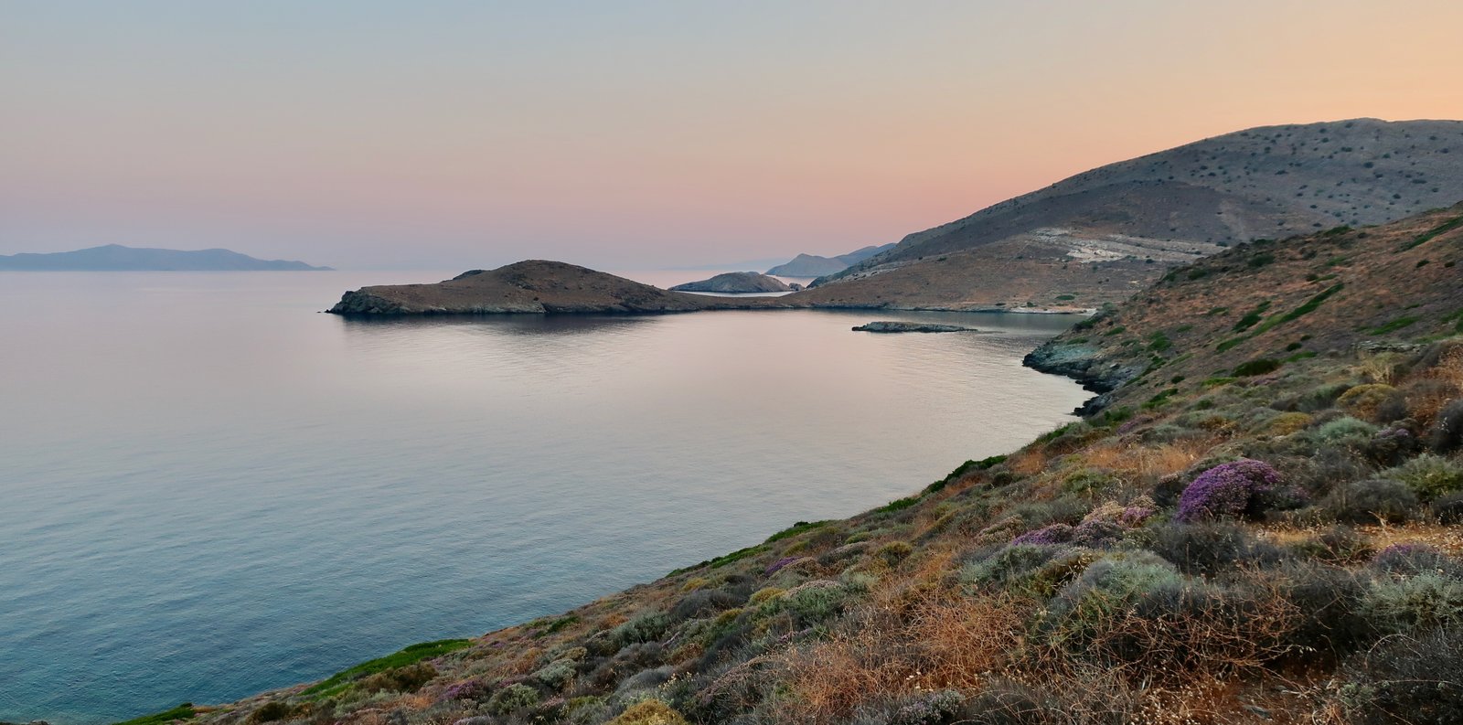
The small path that climbs away from Kini beach is well-defined, and hugs tightly to the coast. At dawn the shallow slopes were pinkish, the sea was calm and clear, the scent of sage and thyme was mingled with the faint smell of salt. A wonderful, roseate world.
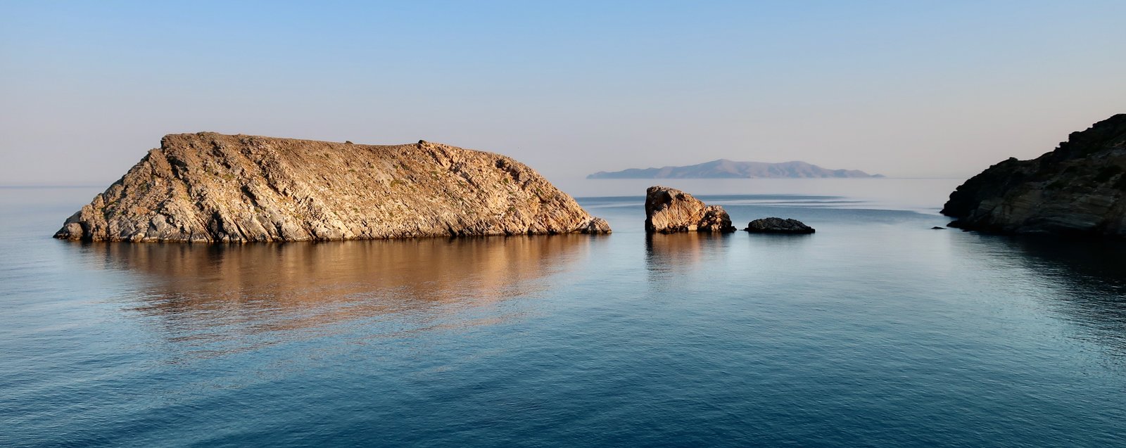
The path passes along the back of Delfini beach then climbs a little up to the right, before coming back down to Varvarousa beach, remote and tranquil. In the bay several large rocks like giant sleeping sea creatures basking in the still morning water.
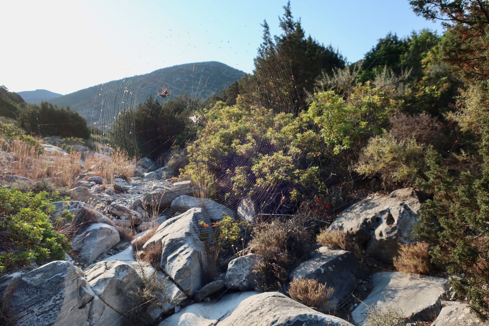
From the end of the beach a path goes inland along a river bed into a small gorge. It’s a mess of a walk through oleanders, reeds, rocks and spider webs. Morning is the best time for webs, newly spun and stretched, glistening with dew. The spiders here are fat, with striped legs. I’m pretty sure they’re not dangerous, except psychologically when suddenly in the face, in the hair. We do our best to weave past them. A spider stick, though a little destructive, can come in handy. Walking behind someone else is handier still.
The aim is to take the river bed until at a logical point another path heads up towards Myttakas, and from there, via roads main and secondary, to Chalandriani. Twice we’ve been through here, twice we’ve gone wrong and had to improvise, climbing over a succession of spiky terraces, only to have eventually found the far end of the path we should have taken.
Myttakas and Chalandriani are small farming settlements approaching the northern end of agricultural Syros, both of them with just a few houses and several churches, including, in Chalandriani, the impressively-named Catholic Shrine of the Holy Unmerceneries.
From Chalandriani, Kastri is clearly-signed on a narrow path that drops down almost to sea-level in a valley behind Glysoura Beach, before climbing up a slope marked with red dots the other side, aiming for an obvious gap in a head-high wall. The countryside in June is brittle. It’s hard to imagine it could ever be otherwise.
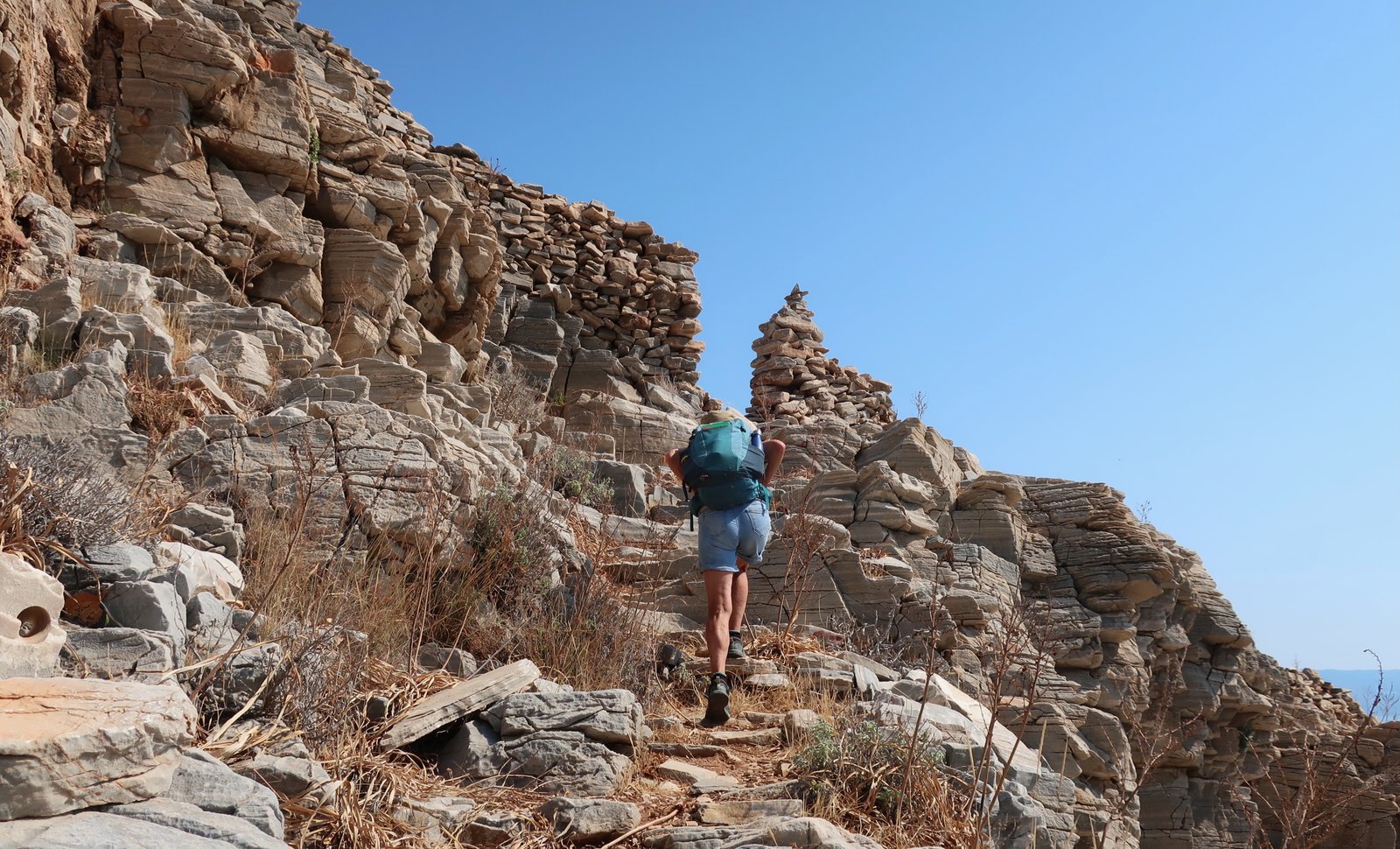
Once through the gap, the site, which dates from the early bronze age, 3200 – 2000 BCE, is a few hundred metres uphill to the left. Another of the Aegean’s stirringly bleak places of ancient habitation, a hilltop from which to lob down missiles at approaching enemies. A place scorching in summer, blasted by freezing winter winds. Almost nothing appears to remain.
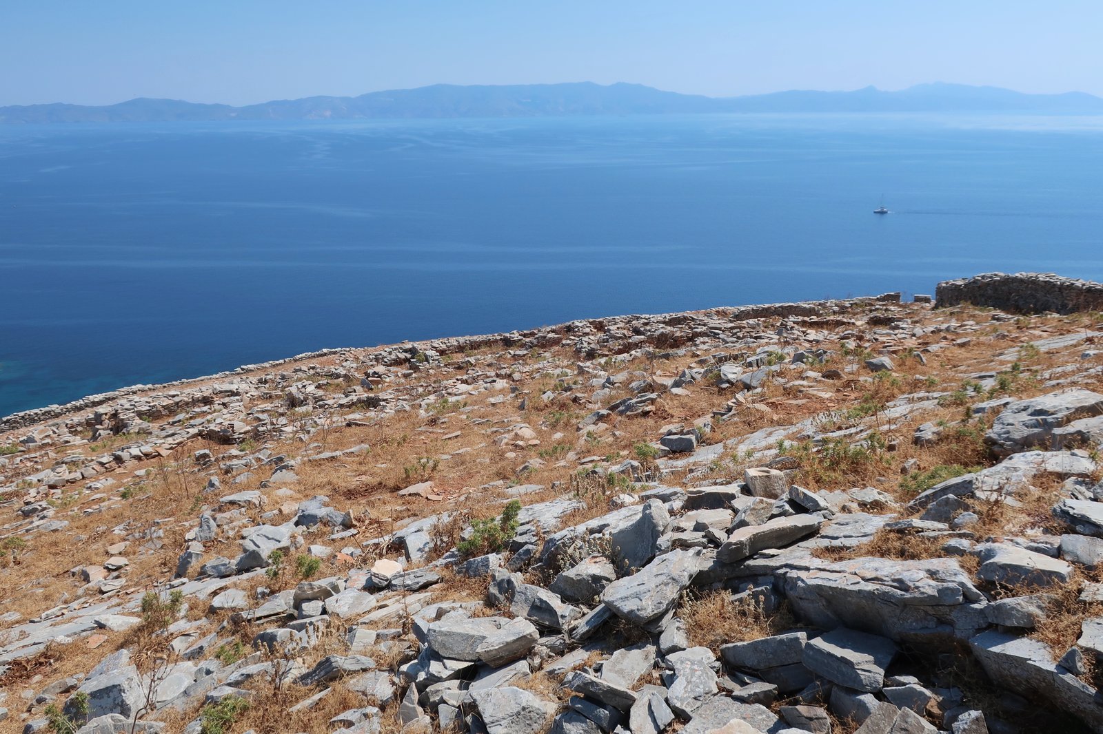
Until, much later, we look on the internet for an aerial photo and see, with a shock, that we have been sleepwalking.
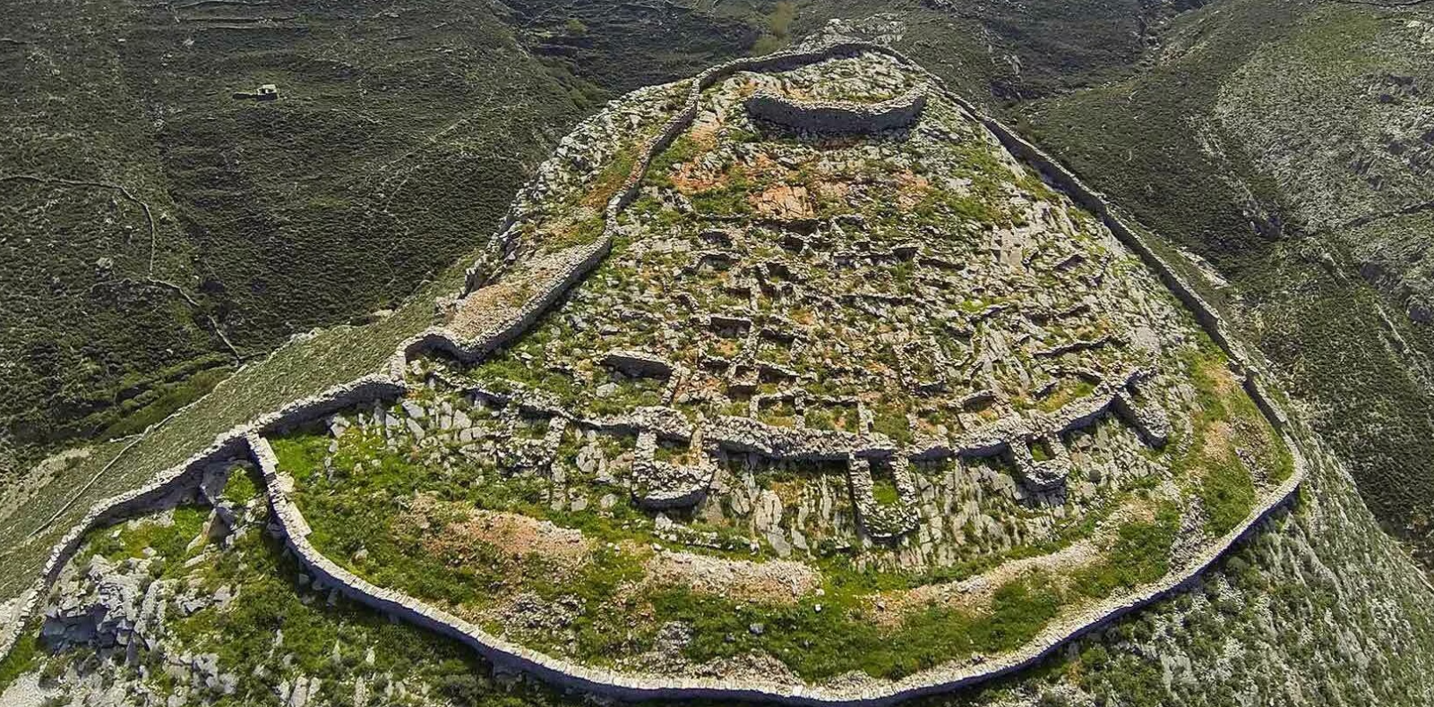
There’s no refuge up there now, just a few roofless walls providing slivers of shade within which to shelter from the midday sun.
There are two ways to get to Platy Vouni from Kastri. One back the same way via Chalandriani, the other, marked as faint on the Terrain map, a path around the coast and up over the hill. Inexplicably we didn’t have the map when we were there, or we would have done the latter.
At Platy Vouni, a tiny farming hamlet, a lone man with a worn, brown face and a spade over his shoulder gave us directions for the path back to Ermoupoli, indicating up and round the valley. Looking back, he was clearly visible, tending vines on a little lozenge of green in the brown/grey patchwork of terraces, almost everything but his little island now abandoned.
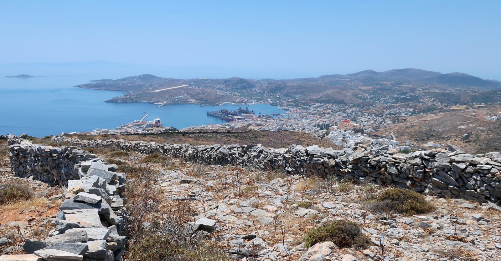
After Platy Vouni, the rest of the way is well-defined, much of it paved. Once an important path, it climbs up to about 350 metres at Rychopo. On a too-hot-for-walking June afternoon, one section, a stony dip, was a sort of linear oven within which we cooked, not a breath of wind between parallel guiding walls. This path also passes close to the island dump, giving rise to the inevitable hillside of snagged blue, green and white plastic.
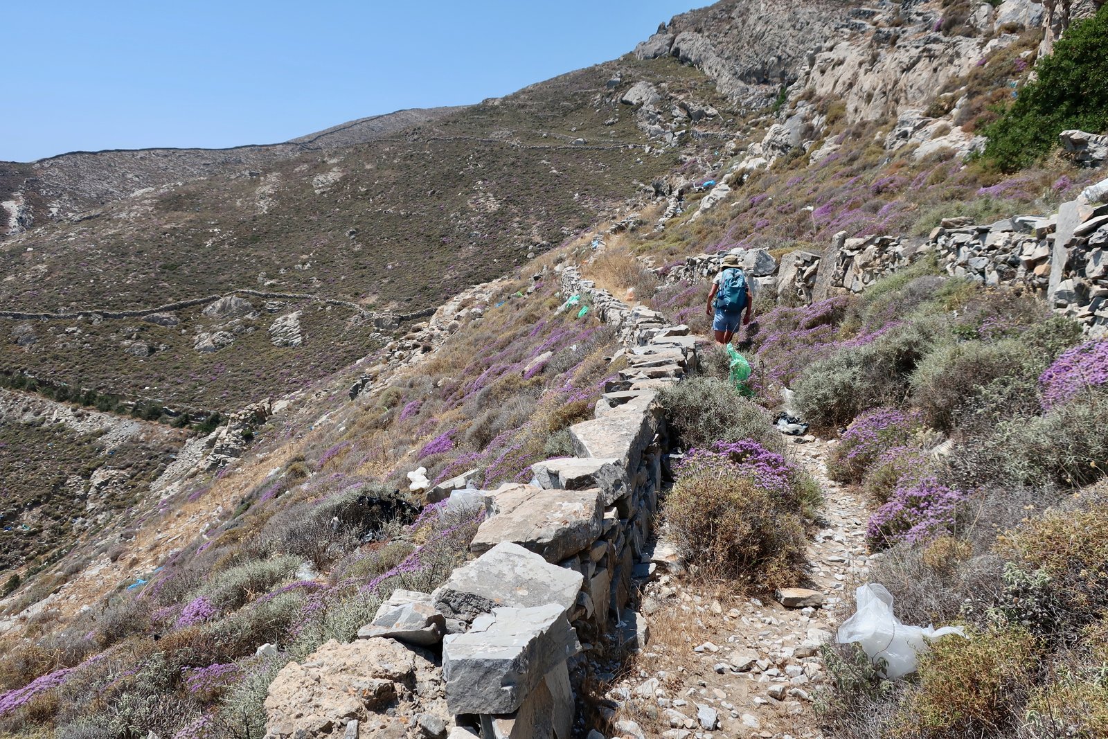
Once over the last high-point past Rychopo – where there is a church, a few buildings, where even the Terrain Map that marks settlements as bright pools of liquid yellow can make little more than a dab of it – the path begins to widen into a proper island footpath-highway, bleached stone with the bleached town of Ermoupoli spreading out below.
HIKE 2
From Kambos, north to the lighthouse at the end of the island. Back through Grammata Bay and a succession of beaches/bays as far as Lia. From there a climb up to Siriga. Then various options for the walk back to Ermoupoli.
About 20 kms
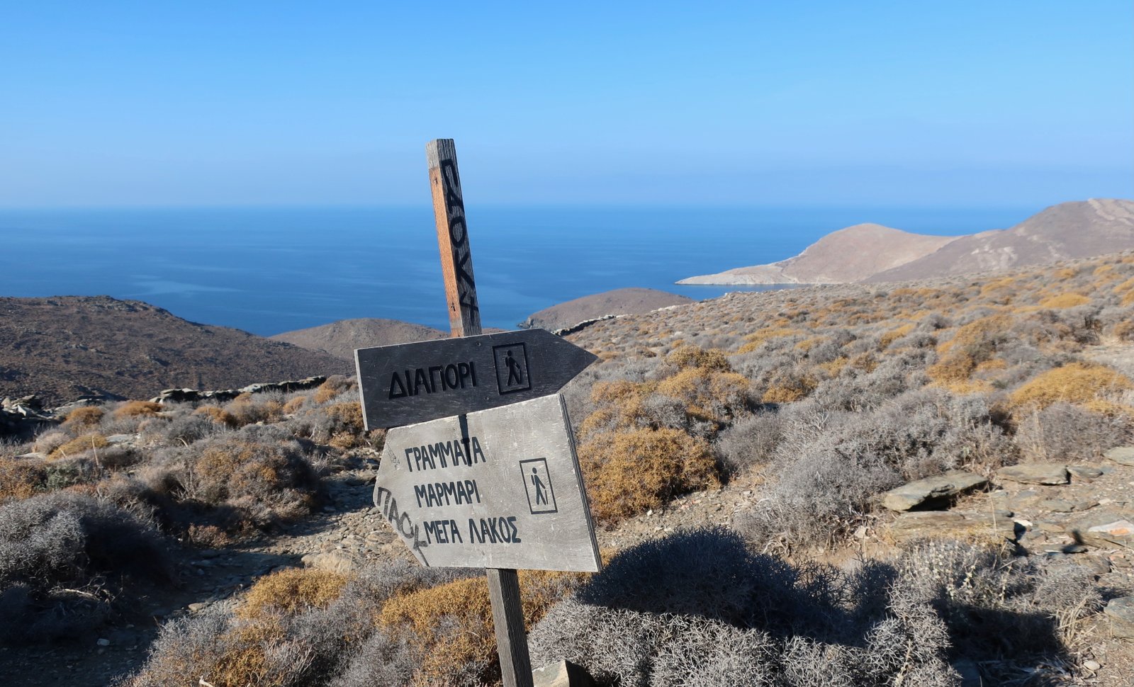
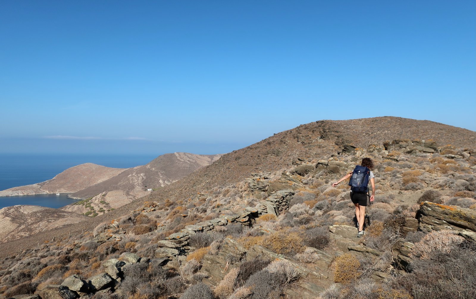
Kambos is a taxi-ride from Ermoupoli. There’s no bus service at any time of year because there’s nothing at Kambos that would warrant it; just three or four small dwellings, probably undwelled-in, and the end of the road, from which the path, unmissable, shoots straight out into wilderness. After this point, low scrubby bushes cover the hills in shades of grey, brown, mustard, with a hint of washed-out green in dry, cracked sage plants. Often on a path that like this is dirt and stone, with the passage of scuffing feet and hooves the surface becomes orangey in colour. Up here there is no orange. Underneath the grey and dust there’s just more grey and dust. It’s lovely. The photograph below was taken near Kambos. The end of the island is almost visible, far ahead. There’s nothing in between but the shape of the land, made visible, pure, by the absence of vegetation. Every curve, every movement is accentuated.
Within a kilometre or so there’s a clear, well-signed split in the path, left for Grammata Bay, straight on for the cape at the end of the island. It’s easy to follow, winding back and forth close to the soft ridge before sliding off to the left and curving around the top of the island towards a small, rough lighthouse, planted on a rocky promontory right at the end.
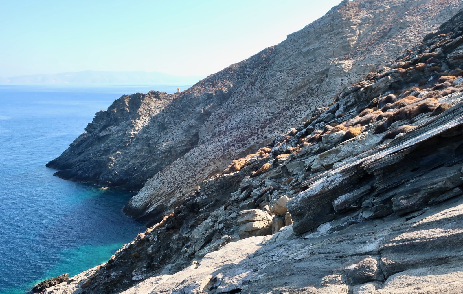
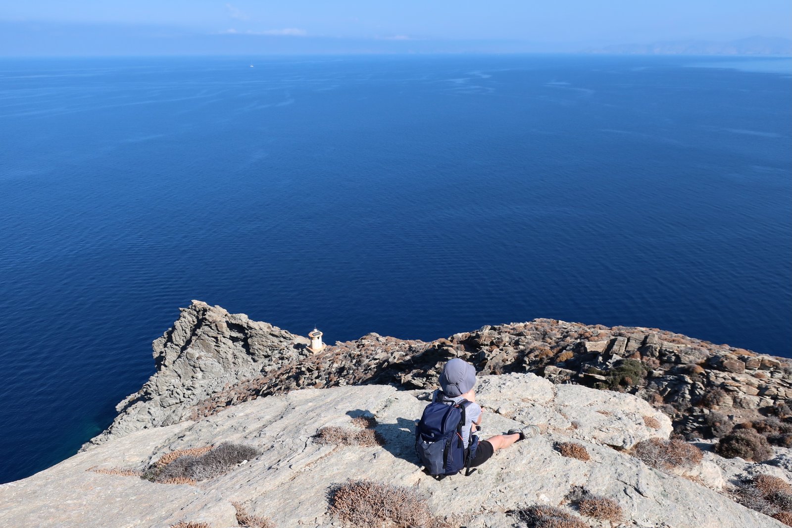
The approach to the lighthouse – which is not a path at all, there is no path – dives inland to avoid the steep slopes around the top edge. Unless early or late in the day you were to crouch down behind a rock away from the rising or setting sun, there’s zero shelter out here.
The route goes cross-country back from the lighthouse, aiming for the point on the map where a path is marked descending towards Grammata Bay. You will already have passed this turn-off in the other direction. Again, any semblance of actual path soon disappears, but it’s not difficult to find a way down to the beach.
Between Grammata and Lia there’s a succession of five or six beaches. In early October a yacht nosed its way in and out again while we were there, like an animal looking for a suitable nesting place. On one beach there were two other people. In total, six beaches, four people, one yacht, warm, transparent water, twenty-four or twenty-five degrees, blue sky, no clouds.
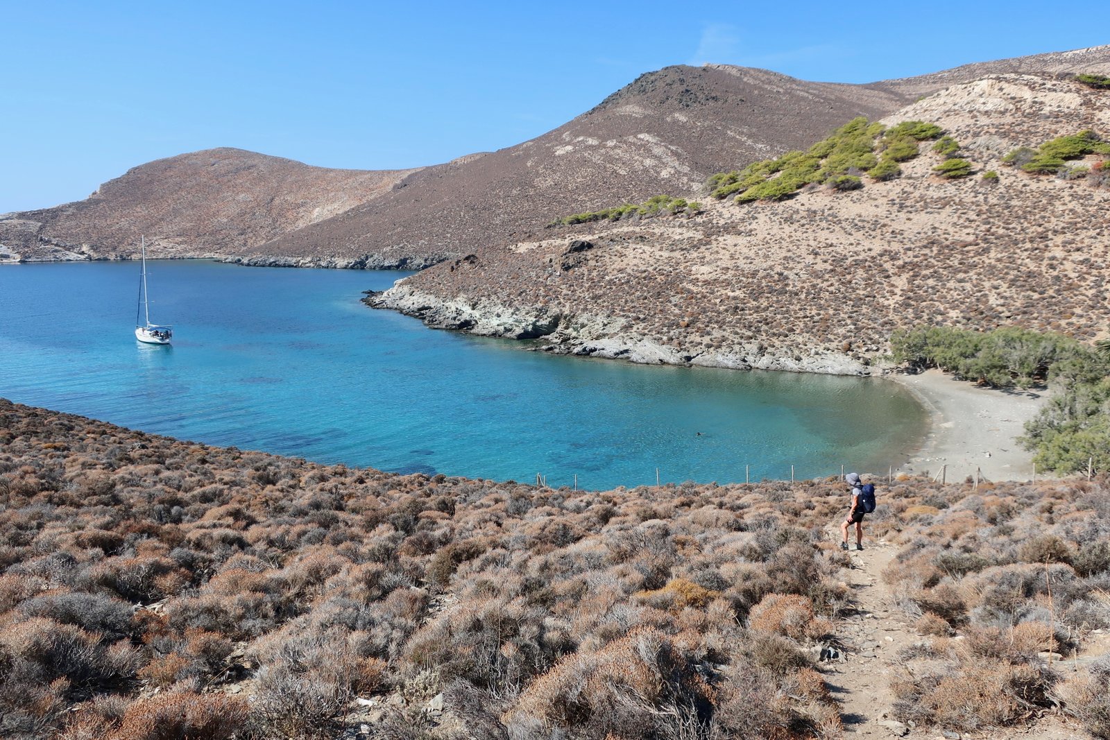
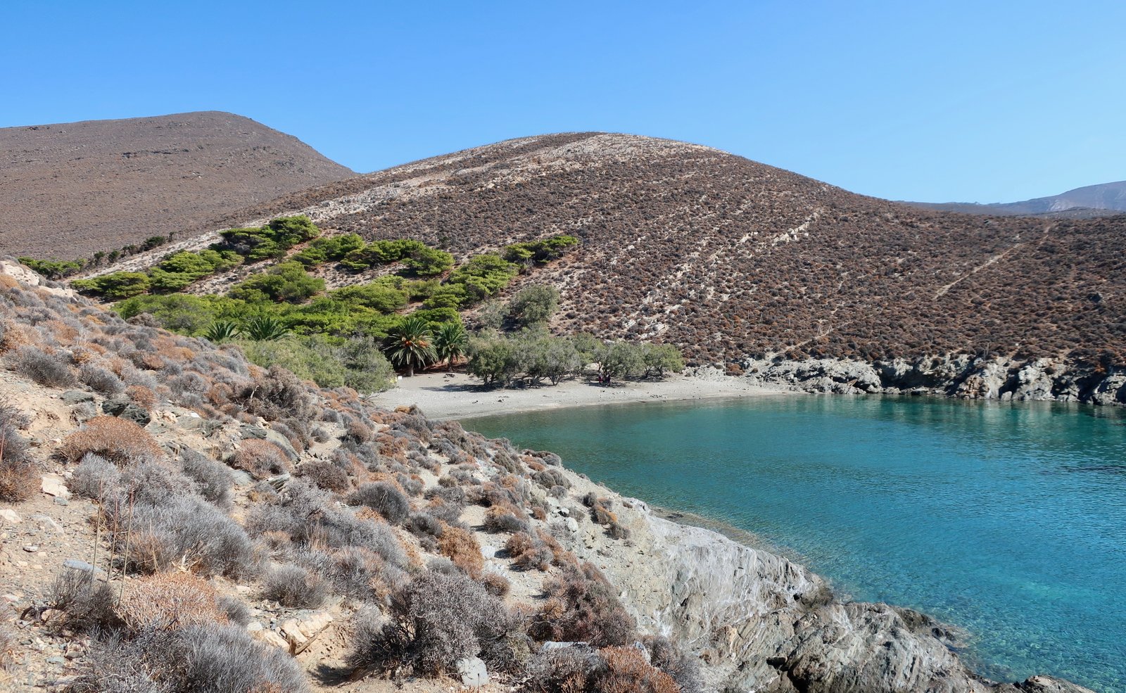
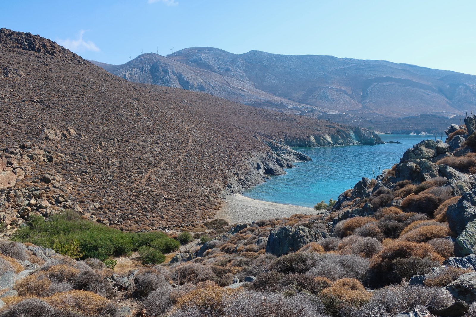
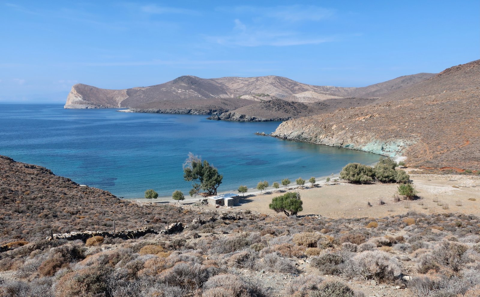
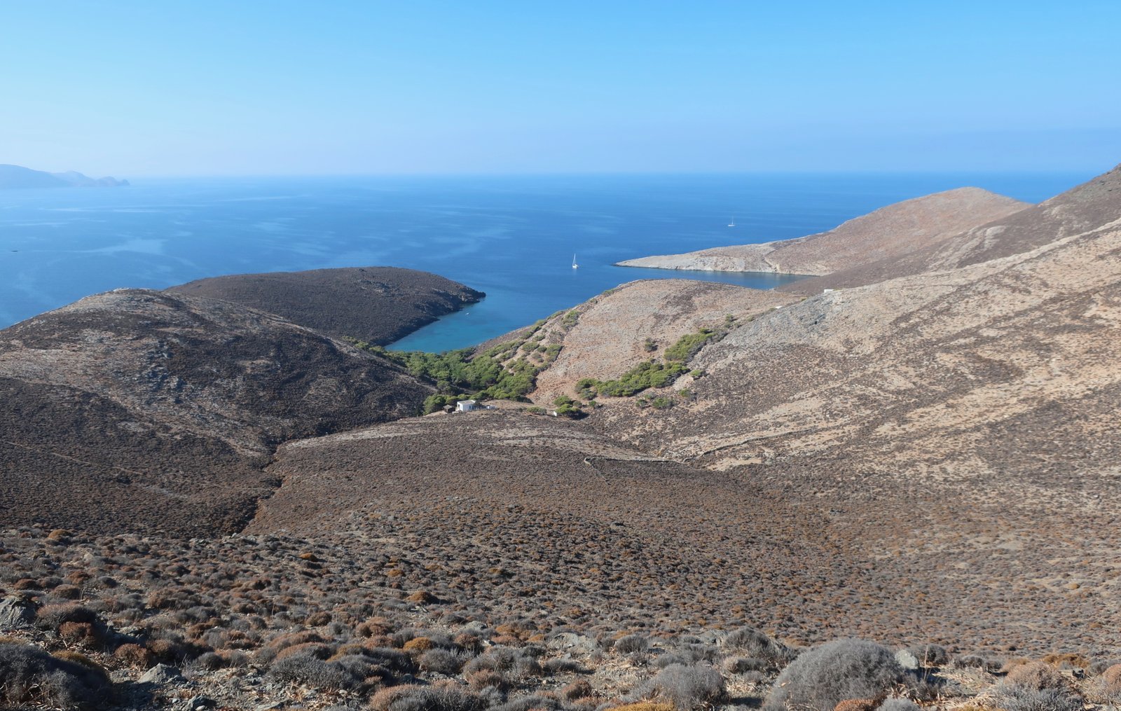
The path isn’t marked on the map, but hugs the coast between Grammata and Lia. From Lia a good path leads up to Sirigas and beyond, climbing relatively steeply up to about four hundred metres before joining the main, ridge-road that runs down the centre top-half of Syros. Looking back from a point close to Sirigas, on a section with intact stone edges that’s still recognisable as old kalderimi, another path is visible heading south from just above Lia Beach.
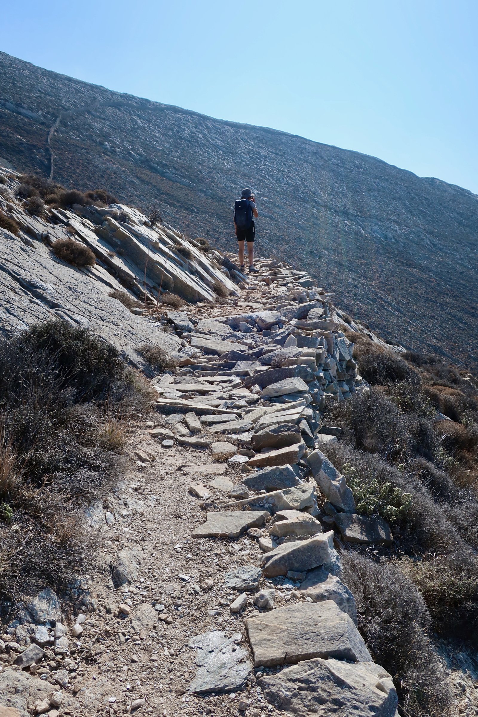
It seems to go at least as far as Ledinou Cave, (see map), and presumably to the Protocycladic Cemetery at the next beach. I can find nothing about this cemetery on the internet. The path may even continue as far as Aetos Bay, in which case it would be possible to walk all the way up the west coast from Kini to the lighthouse at Cape Petritis, the northern tip.
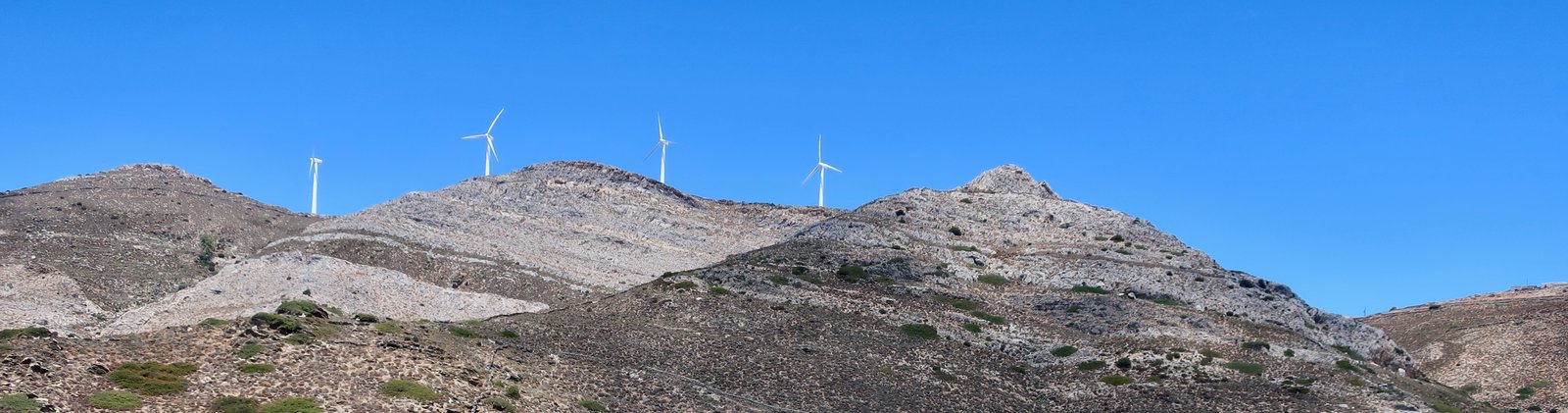
Near Sarigas there are hilltop wind turbines, a small cluster. Most islands these days are gradually making the move towards renewable energy sources. Wind turbines sound like great printing machines, sheet after sheet after sheet as the arms swing round and round and round.
Having hit the main road just to the south of the peak of Mavri Rachi (see the Terrain Map again), it’s possible to leave it by taking the dotted, parallel trail as far as Aghios Georgios, then, after a short section back on the road, diverting off left towards Rychopo. From there it’s the same paved path as in HIKE 1, above, down into Ermoupoli.