Astypalaia is another of the outliers. Psara, Aghios Efstratios, Skyros, Antikythera, Kasos… There are more, islands whose character has been in part forged by their isolation.
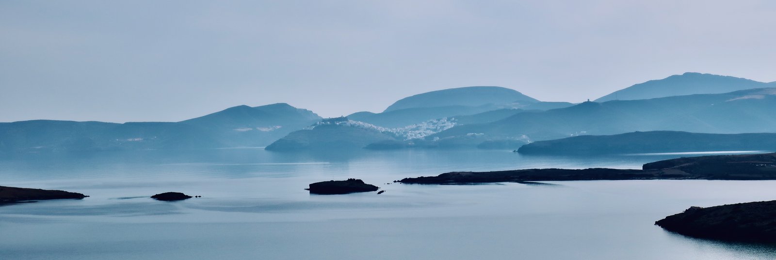
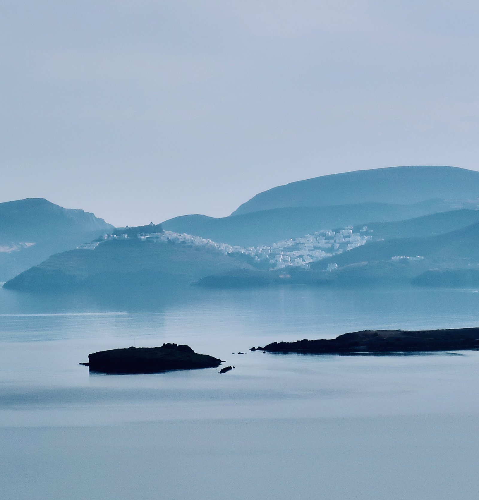
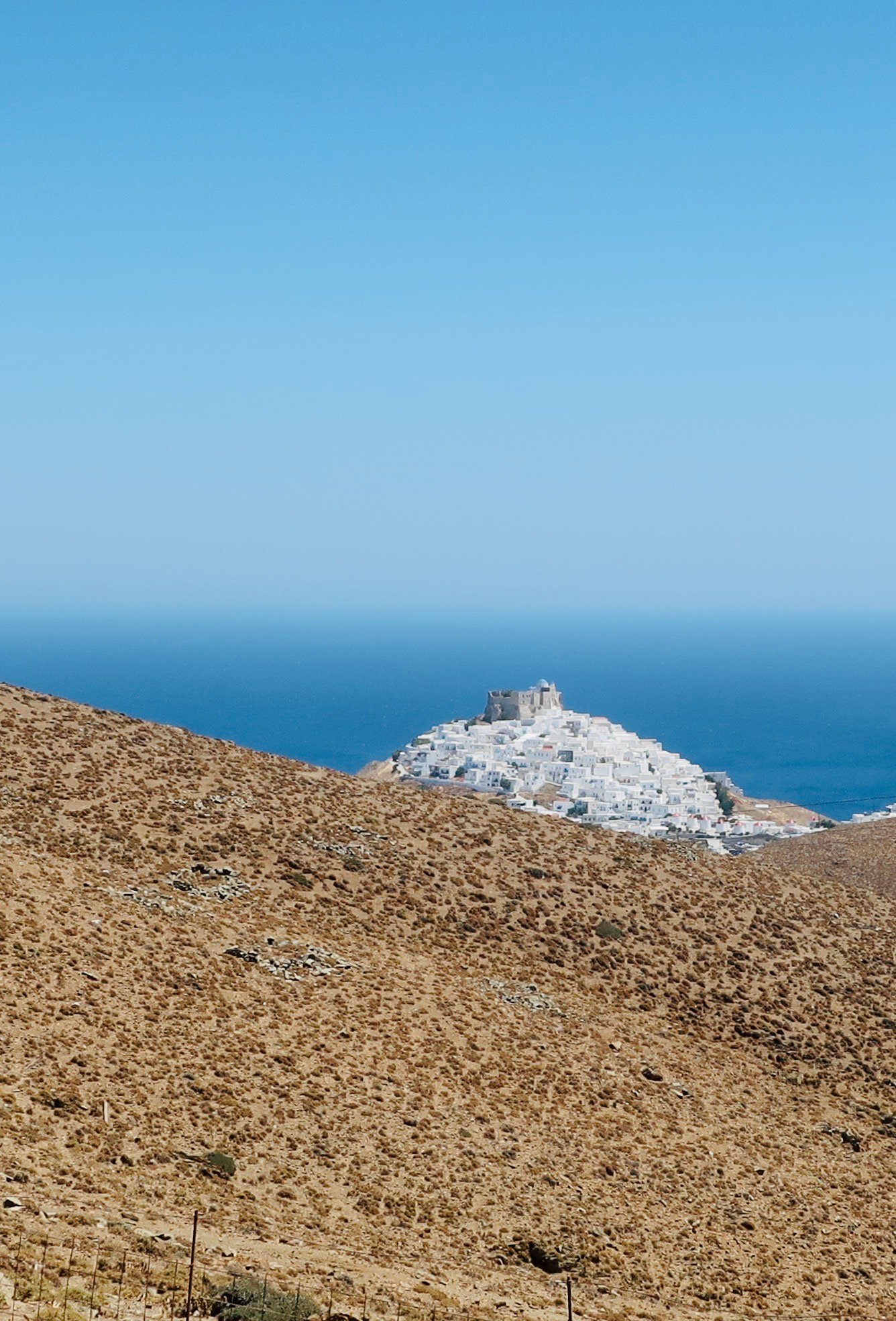
It belongs officially to the Dodecanese, but there’s no town in the Aegean more Cycladic than the Chora in Astypalaia, poured onto its hilltop, icing blocks tumbling down the slopes towards Livadi Bay on one side, Pera Gialos, the old port, on the other.

There’s another port now, newly hacked into the northern side of the island several kilometres away, nothing out there but a brand new concrete dock, a place of shelter for fishing boats, and a café that out of season closes during the night irrespective of arrivals and departures. We’ve been there in cold, black, windy March, the small hours, stuck between ferries with nowhere to shelter, no way to get warm, time passing so slowly.
The two ports are used interchangeably. Like other places that are not so much destinations as places on the way, ferry times on Astypalaia are often unsocial. Middle of the night arrivals and departures are common.
Even among so many beautifully-shaped islands, Astypalaia is one of the loveliest. Two butterfly wings connected by a central section one hundred and thirty metres wide at its narrowest. A population of one thousand three hundred, most of them in the Chora and in Pera Gialos, the two main settlements, which blend into each other.

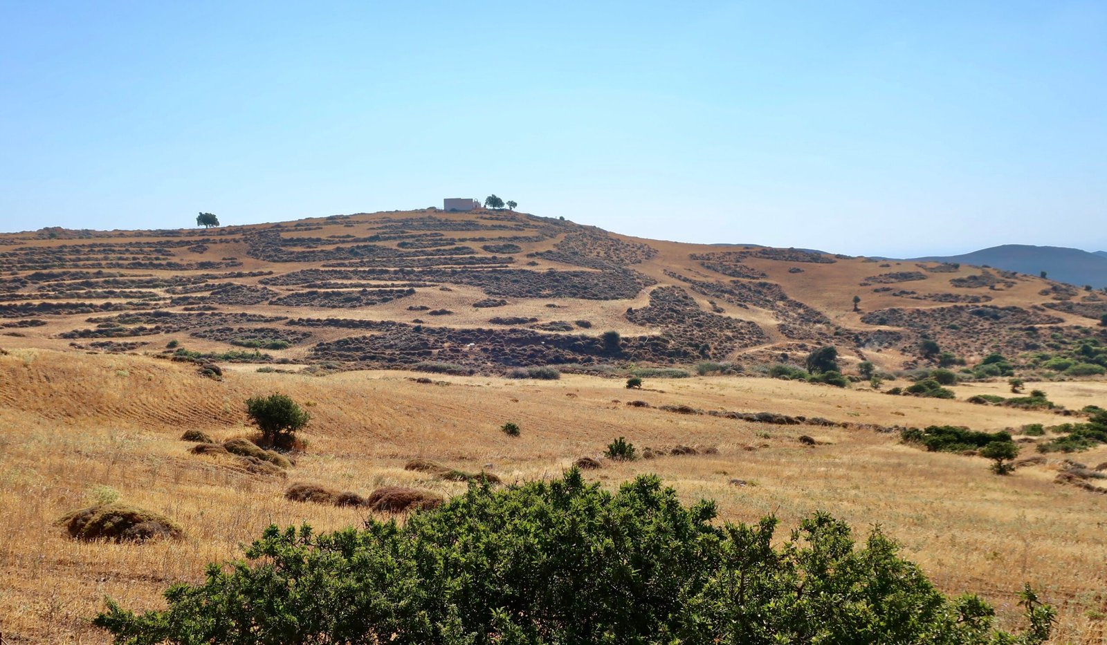
More than most, it’s an island of dust and dirt. There are few trees – the fertile valley behind Livadi for fruit, some green at Analipsi, small pockets of olives here and there, and oleanders, pink and white, that mark as usual the folds of rare, seasonal water courses.
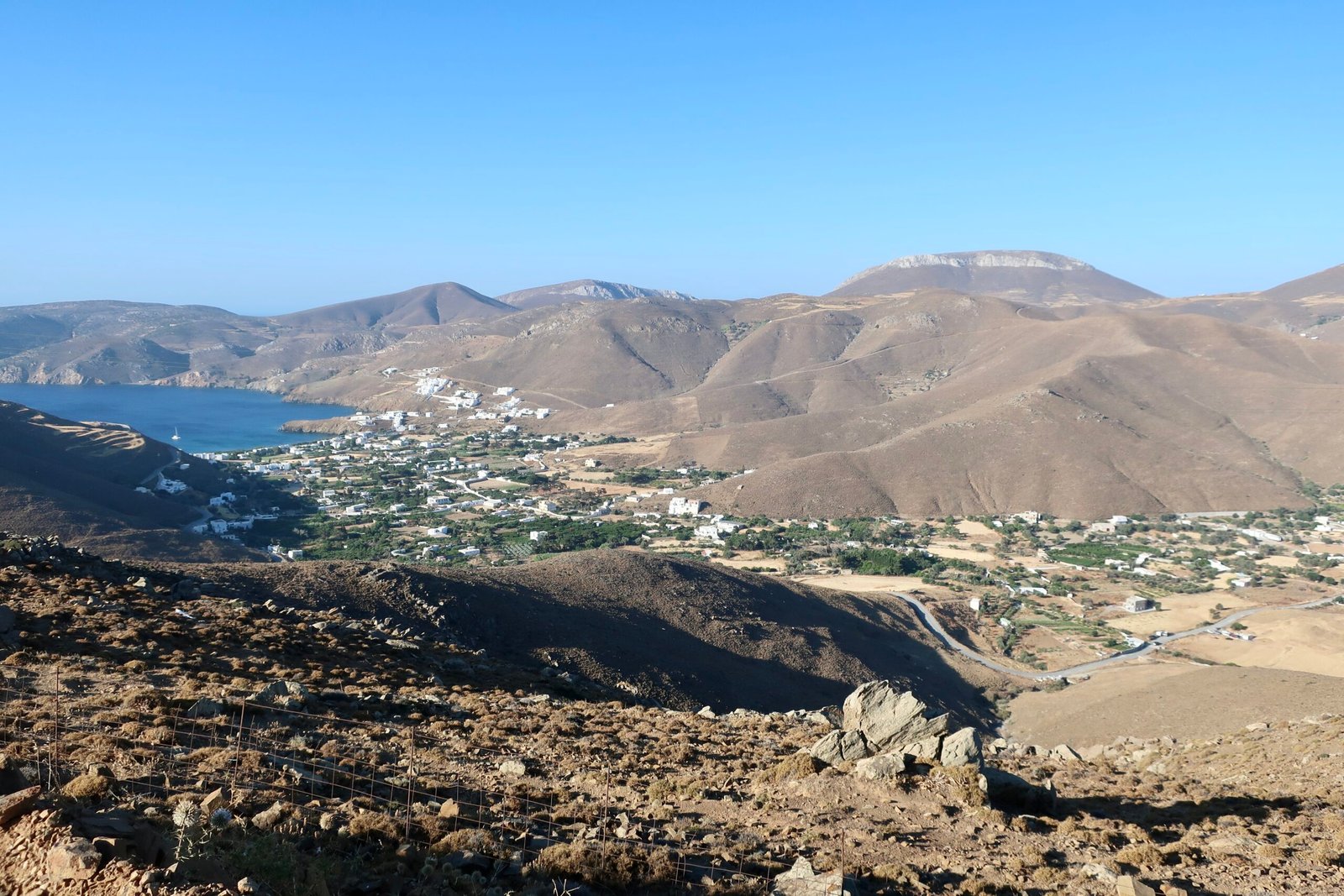
The Chora is one of the most picturesque in the Aegean. It’s dazzling, white, draped with flowers. Alleys twist and turn up towards the old Kastro on top, whose outer walls are not battlements but houses piled up, with windows giving onto the outside. It’s part fort, part ancient tenement. If it was in western Europe, with easy access and lots of people, it would be a place to visit on school trips and days out. Here there are fenced-off sections, warnings, piles of stones, only some small beginnings of renovation or at least repair.
The fact that the island is so brown and barren only serves to emphasise the Chora as oasis. When walking back towards it it appears again and again in always changing, always elegant form from behind slopes and hilltops.
There are no really great beaches. Not for the first time we need a geologist, here to explain the different quality of beaches and coastlines between even relative near-neighbours: golden sand on Donoussa, but on Astypalaia variants of grey, sand and small pebble.

Analipsi beach is sheltered, and good for swimming. Aghios Ioannis is the best, some Italians told us. Italians know these things. We liked most of all the unassuming town beach, swimming out in the morning along the rocky left-hand edge towards the tip of the headland, the last point of protection from wind and waves. The deep, rocky underwater texture is lovely, the fish abundant. It’s the only swim-place in the islands we remember as much for the shape of the underwater, the plains and canyons and drop-offs. A mirror-world, briefly ours. The return is always an effort against the current. Back on the beach, the same old fisherman every morning throwing bread out to groundbait his fishing spot, then spying in detail through binoculars the ripples and shivers of activity around it as small fish nip and scramble.
Next to him the summer swim-school with their little rectangle of sea separated off by floats. Children splash back and forth, dive through hoops, are encouraged to dip their heads fully under, to become comfortable in the water. Small boys cheat in swim-races, putting their feet down to send up brown clouds as they spur their way through the shallows.
Compared to most other islands, there’s not much terracing, very few stone walls. The land is poor, agriculture difficult. For two hundred years during the middle ages Astypalaia was completely uninhabited. Had there been much good farmland, people would not have stayed away so long, even after the sort of event – invasion, massacre, slavery – that probably caused its initial dereliction.

HIKING
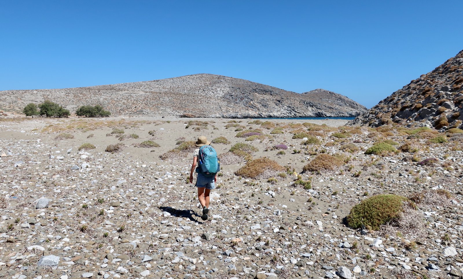
There are few proper hiking paths on Astypalaia. (An obvious link, again, between the relative dearth of agriculture, the relative concentration of population in one large settlement, the relative paucity of churches and monasteries, and the consequent lack of an extensive network of stone-laid paths. Paths were connections between settlements, between home and work-space, home and place of worship.) Yet sometimes we forget that hiking in the Greek islands is not only about stone-laid paths, lovely as they are. We have enjoyed, at various times, pathless stomping across hillsides, narrow dirt and pebble ways, the purity of balancing along a rocky ridge, rockhopping around the coast or down a narrow gorge. Even strolling at leisure along an empty strip of dirt or tarmac, no thoughts of where to put our feet, chatting, seeing everything. The smells, the heat, the light.
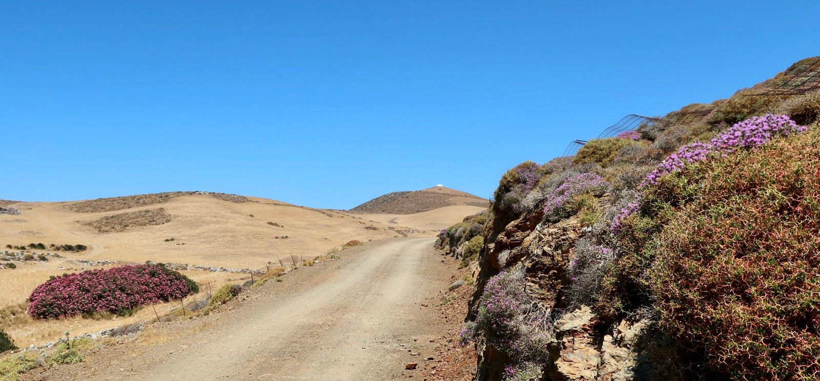
We did four walks. Two long circuits on the western wing, one in the middle, one around the tip of the eastern wing. According to the map and various internet suggestions, there are other possibilities. It is unlikely the style would be any different on the paths we didn’t do.
HIKE 1
From Pera Gialos out to Pachia Ammos beach on the northwest coast, up past the Italian observatory, and back. Within this walk a section of ten or so kilometres is the longest stretch of unbroken path, with no road or dirt track, anywhere on the island.
In total a little over 20 kilometres. Early July, hot and dusty. It felt like more.
Climbing up out of Pera Gialos, the asphalt is soon left behind for stone and dirt. The gate of the Panaghia Flevariotissa monastery was closed when we passed. Not a sign of life. There are a few ramshackle farms, with farm-dogs on ropes and chains that as usual we just about trust are strong enough when the dogs see or smell or hear us coming and leap and howl and strain.
At Panaghia Vryson, a tiny church at the end-point of the road, we had breakfast in the minuscule lock-in courtyard. It’s a play church, a Wendy house church, minimum shelter from the sun and the wind. A rough and ready gang of men could make it in a morning.

The path from there to Pachia Ammos beach on the north coast is poorly signed. Follow the map, contours and direction. There are occasional cairns, some thin metal posts that must once have marked the way, a logical route down into the valley of the Kakos Potamos, the Bad River, that leads through a saw-toothed low gorge to the beach. It’s desolate country, a hard, dry, bitter, thrilling place. In summer the buzzing of cicadas fills it.

The gorge opens up into a delta of burnet and spurge that are concentrated like a spiny crowd at a spiny open-air rock concert.

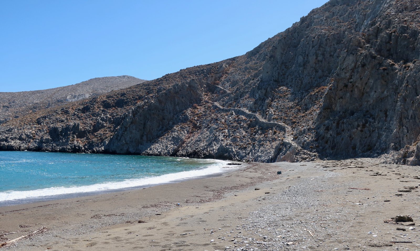
On the beach, the dessicated skeleton of a goat near the high-tide line. More goats sheltering under a few beach-tamarisks. The north wind whips the waves in. Hard to imagine that anyone ever swims here.
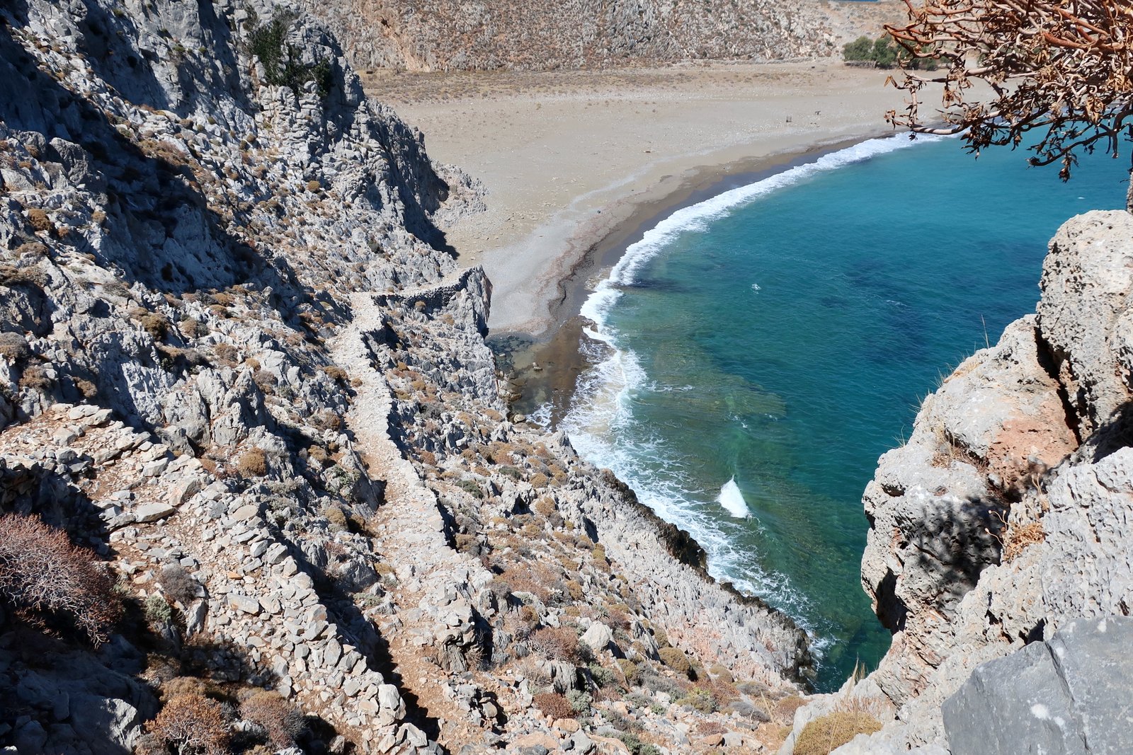
And then the great, rough-hewn stone staircase that climbs away from the beach. It should lead to a fortress. Instead, after a couple of hundred metres it morphs into a narrow red dirt path marked by cairns, that continues on towards the old Italian observatory on the hilltop.
The window and door-frames have been ripped out, leaving gaping, torn holes. From a distance, before getting close enough to see the rough rendering, it looks almost classical, a hilltop temple. The smell of goats fills the air.
Nowadays few people visit places like this. The island-interiors have largely been abandoned in favour of the coasts. Very occasionally hikers might come, but Astypalaia is not a walking destination. Hardly anyone who lives on Astypalaia has walked to Pachia Ammos beach through the gorge of the Bad River or been to the Italian observatory. When hiking in the islands so much time is spent moving through these forgotten spaces. Emptied of their purpose, they exist now beyond the edge of things.

The path goes back down towards the remains of another tiny church, which soon will disappear into a heap of unrecognisable stones, its arched roof already open to the sky. Around it some few vestiges of walls, ancient agricultural buildings.
From there, south around the right hand side of a small summit, swinging back around the left of the next as if doing the first half of a figure of eight. The way is not clear – we went too high at first, lost what path there was, were blocked by too-steep rocks, had to descend a little lower to a point fifty metres below the hilltop.
Rather than go direct to the howling-dog farm on the corner of the road that leads to Panaghia Vryson, the breakfast church, we went through the valley to the right that leads to the road that leads to the church. Again it’s easy to lose the path. We had to climb over a couple of fences. But road and church were always there, visibly close.
And then home, back the way we came.
HIKE 2
The first time we came to Astypalaia, in early May, was a flying visit of four nights and three days. We rented a car and drove out to Exo Vathy, near the northern tip of the eastern wing of the butterfly. The road turns into dirt and stone a few kilometres before the end.
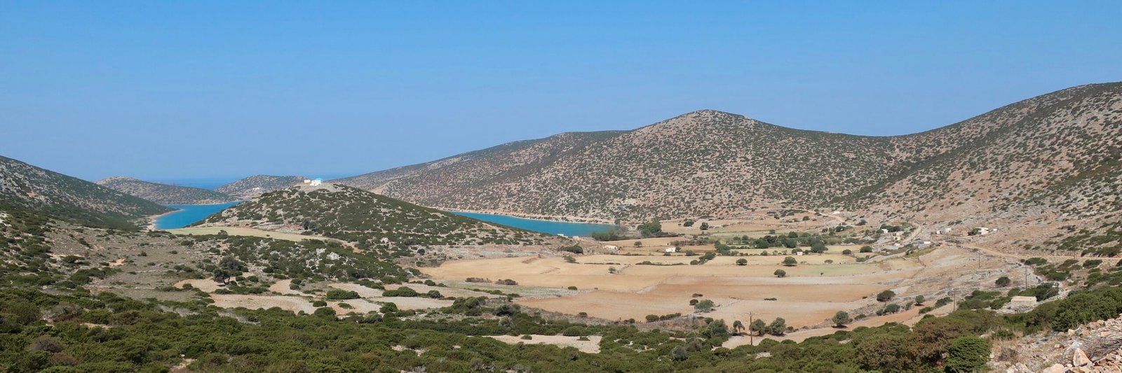
Vathy bay is deep and perfectly sheltered from the wind. There are a few houses at the head of the bay, a few at the end, and a tiny port. Had it not been for two fishermen mending their nets, a third sitting with a bucket half-full of spiky urchins, prising them open with his knife, pouring them down his throat, throwing the light-as-air remains over his shoulder, we would have thought no-one had been there for years. The only sound was the soft landing of the urchin-shells. Net-mending, toes and thick fingers, is a silent business.
We walked from there up the hill on the dotted path that leads to the church of St Thomas. At the first house we passed, a dozen or so decapitated goats’ heads were hanging on wire. Some were picked clean, the newest fresh enough to have lolling tongues, bulging eyes, swarms of flies.
In early May, in a heat wave, the rocky track to the church was scorching. The flat land around the desolate church is a wasteland, almost Martian, red rock, not a plant in sight. The little church is from the moon.
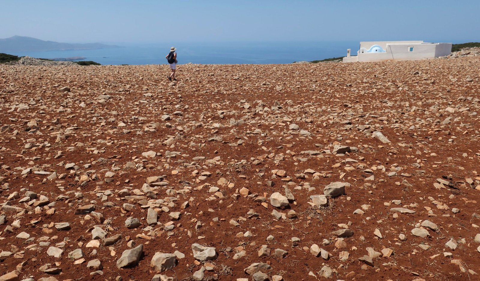
The heat took us by surprise. We had intended to walk on down to the north coast, but had not enough water and anyway could find no sign of the path marked on the map.
HIKE 3
In summer you can catch a bus from Pera Gialos to Analipsi. It’s about ten kilometres, past a number of more or less scrappy southern beaches and views over the rugged north coast, battered by wind and waves. Out of season, check for timetables.

We chose to walk though, from the Chora on the road as far as the end of Schinonta Beach. At the tip there’s a monument to a French sailor, Hippolyte Bisson, who fought pirates and died there. A short section of street in a Paris suburb still bears his name.
A low-key tourist resort stretches along the coast for two or three kilometres through several sheltered southern beaches. Away from the short summer season it closes up completely.

HIKE 4
The longest walk we did on Astypalaia began in Pera Gialos, went up to the Chora, down the other side to Livadia, then windingly out to Aghios Ioannis beach on the Midwest coast. Back via the reservoir in the middle of the western wing and Livadia again.
More than 27 kilometres.
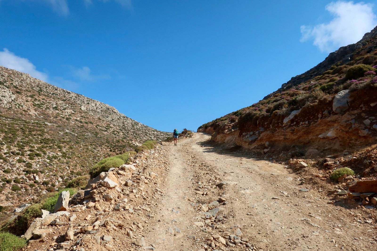
Most of the day was spent on gravelly dirt road. The land is stark, uninhabited, shades of brown and grey, yellow and olive green. Dust plastering the sun cream on our legs. Ridiculous fake tan-lines at the ankle when we undressed to swim at Aghios Ioannis beach.
The trail down to the beach is steep, slippery. Aghios Ioannis, on the slope high above, is barely a monastery. One or two separate cells for monks, a little away from the church. A dense, heavy, dirty white moulding of a building.
On the way back to Livadia we diverted off the road on a marked dotted path leading to the guitar-shaped reservoir. Along the hillside leading down to the water there’s an old stone path, unmaintained and fading. Like a sort of video game it trembles erratically underfoot.
We had lunch around the lake under one of the many eucalyptus trees, imports from the other side of the world found now in greater or lesser concentrations on most of the islands.

At times during the day the wind was so strong I had to bend my head to the ground, seeing nothing but dust and stones, shadows and my feet.
A rare agricultural smallholding had a sign out front advertising Farmhouse Cheese, in English, French and Greek. As if there could be any passing trade.
Here and there gatherings of bee hives, little bee apartment blocks of two or three or four levels, each level a different colour.
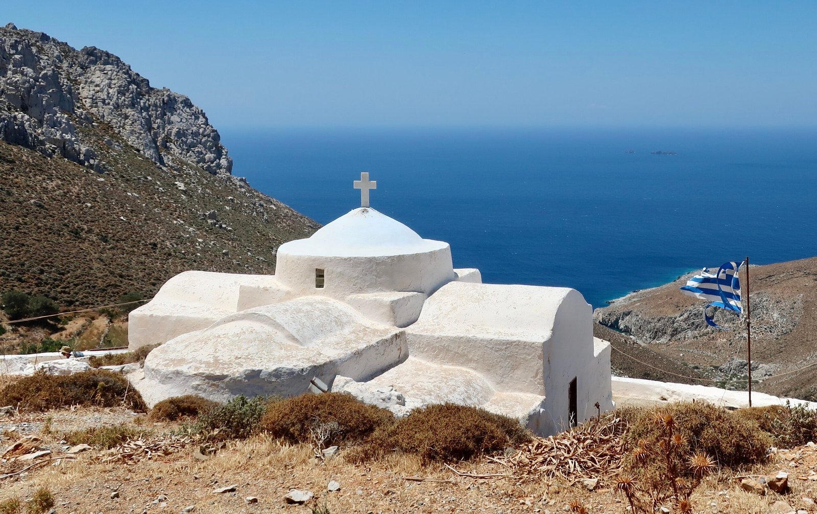
Occasional perfect white churches in valleys, on hilltops.
Patterns of sparse agriculture shaved into the land like tattoos.
The smell of wild thyme.
Hardly any proper paths, all dirt and dust. A day spent walking and talking that has stuck in both our minds as being perfect. You really never know how it’ll be unless you go.